
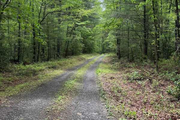
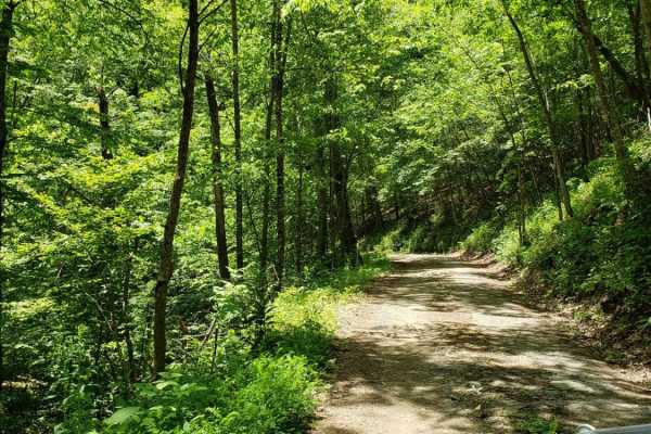
Off-Road Trails
Near Millboro, Virginia
Off-Road Trails Near Millboro, Virginia
Discover the best offroad trails near you. Browse trail maps, check difficulty ratings, and find your next adventure — whether you're looking for a quick ride or an all-day expedition.
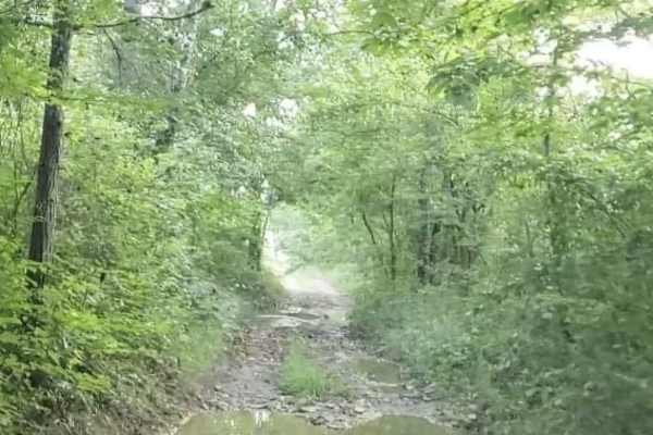
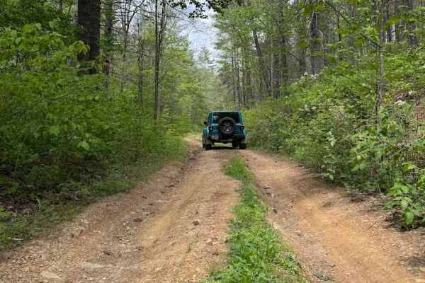
Pads Creek
Pads Creek Trail travels along Forest Service trails and an unmaintained state road. The eastern portion winds along the creek through gravel National Forest trails with ample camping opportunities. Bubbling Springs Day Use Area with hiking trails is located along the route. At the intersection of G...
Learn more about Pads Creek

Walker Mountain
Walker Mountain, designated as Forest Road 387, is a seasonally open spur off Clayton Mill Road and is notably more challenging than the main route. The trail is open during three seasonal windows: January 1 through January 10, April 8 through May 13, and October 1 through December 31.
The route be...
Learn more about Walker Mountain
Jordan Run
Jordan Run, designated as Forest Road 358, begins with a short section that is open year‑round. The remaining two‑thirds of the route is seasonally open from January 1 through January 31, April 1 through May 31, and September 1 through December 31.
The most challenging feature of the trail appears ...
Learn more about Jordan Run
Archer Run
Archer Run is a basic trail in Virginia's George Washington National Forest. It is mainly a dirt road, with some areas of minor rockiness. It meanders through the mountains of western Virginia, offering good views of the surrounding ridge lines and valleys. The trail has several switchbacks, which b...
Learn more about Archer Run
FS-394 Sugar Tree
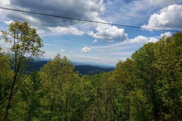
FS-394/Sugar Tree is a 19-mile-long two-way gravel and dirt trail located in Virginia's George Washington National Forest about an hour west of Staunton. The trail provides outstanding views of the surrounding areas and is easy enough that most SUVs and trucks should be able to complete without the ...
Learn more about FS-394 Sugar Tree
Duncan Knob
Duncan Knob, designated as Forest Road 124, is a seasonally open trail with access windows from January 1 through January 31, April 1 through May 31, and September 1 through December 31. The route features a mix of gravel, dirt, and rocky terrain, with enough rutting to warrant a difficulty rating o...
Learn more about Duncan Knob
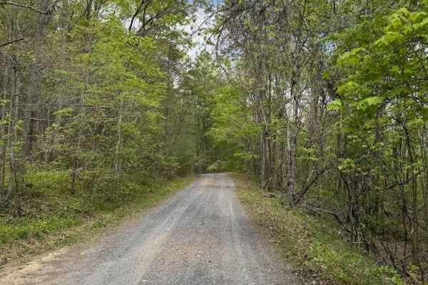
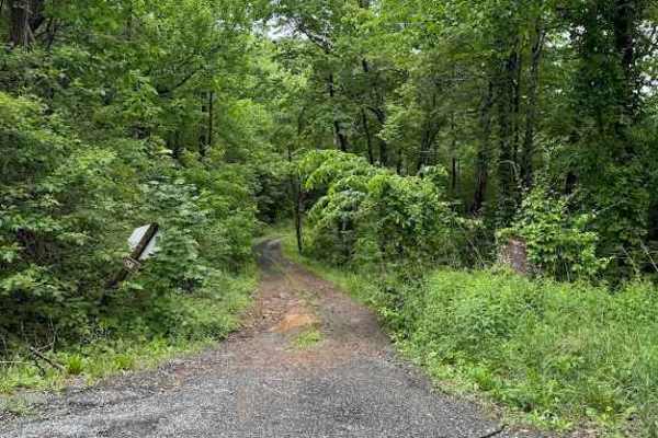
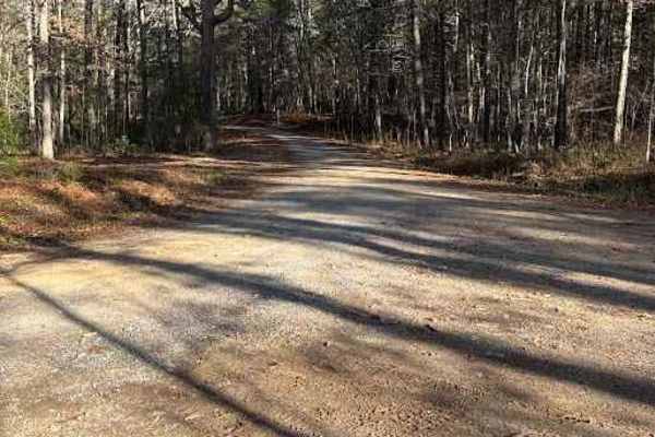
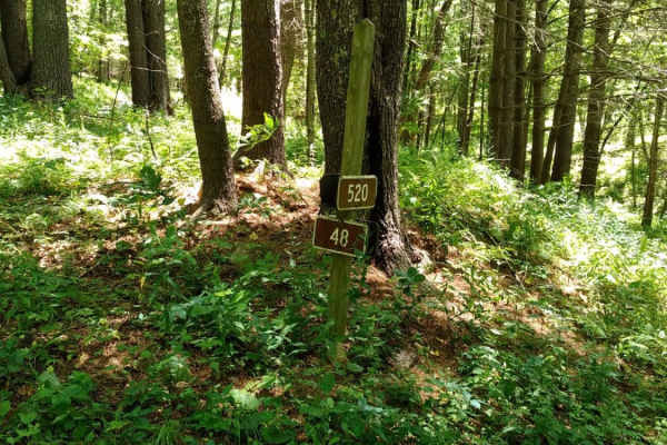
Clayton Mill Road
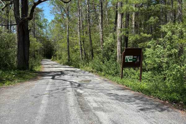
Clayton Mill Road, designated as Forest Road 61, is a maintained gravel road with residential properties located at both ends. The route presents no notable obstacles, and a passenger car can travel it without difficulty. Vegetation overgrowth is absent, and the corridor remains fully open throughou...
Learn more about Clayton Mill Road

Tom Lee Draft
Tom Lee Draft, also known as State Route 399B, is a spur off Jerkemtight and offers a longer, more engaging route with better forest views, more elevation change, and additional turns as it enters deeper into the national forest. The trail provides a more varied experience than its access route and ...
Learn more about Tom Lee Draft
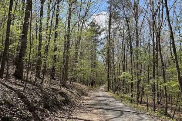
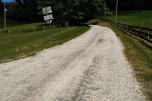
Hidden Valley Road
Hidden Valley Road, designated as Forest Road 241, is a well‑maintained gravel road that travels through forested terrain and leads to Hidden Valley Campground at the southern end. The route is generally smooth, with the most notable obstacles being potholes on the northern end. A 4WD vehicle is not...
Learn more about Hidden Valley Road
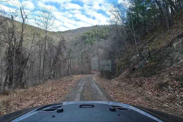
Jerkemtight
Jerkemtight, also known as State Route 399, is a short, simple trail on a gravel surface with several large dips and potholes. The entry climb is perhaps the only significant challenge. A low‑water crossing sits roughly halfway along the route. After this crossing, the maintained gravel road curves ...
Learn more about Jerkemtight
Star Chapel
Star Chapel, designated as Forest Road 401, is a seasonally open trail with access windows from January 1 through January 31, April 1 through May 31, and September 1 through December 31. For a seasonal route, it is surprisingly well-maintained, with a consistent gravel surface throughout.
The trail...
Learn more about Star Chapel
Little North Mountain WMA
Little North Mountain WMA has a mix of seasonally open routes that all dead-end eventually. This route includes a scenic, lightly maintained state road to access the area. The roads are marginally maintained gravel with some small mud holes and stream crossings. Be aware that all Virginia WMAs requi...
Learn more about Little North Mountain WMA
Hite Hollow
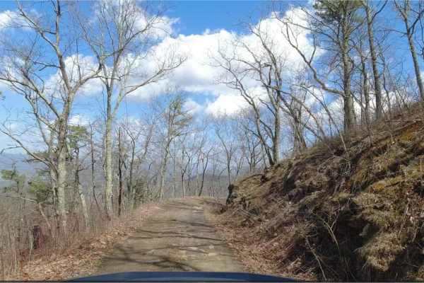
Hite Hollow is located in the George Washington National Forest, west of Staunton, VA. It's a basic trail that offers outstanding views of the surrounding area. The trail is mainly rock and dirt and has several switchbacks that take you up the ridge line. Many of these switchbacks offer stunning vie...
Learn more about Hite Hollow
Hite Hollow
Hite Hollow is a well-maintained 9.5-mile gravel road located in the George Washington National Forest, west of Staunton, VA. It offers great views and alternates between rocky and smooth gravel as it climbs and switchbacks through the forest. There are dispersed camping options, but little to no ...
Learn more about Hite Hollow
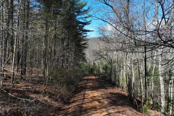
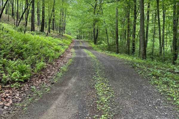
Phillips Lick
Phillips Lick, designated as Forest Road 381, is a mostly well‑maintained route with a surface that alternates between gravel and dirt. Several sections show light rutting from rain runoff on the hills, but the trail remains easy overall. A few shallow mud puddles appear along the way, though none p...
Learn more about Phillips Lick
Cold Springs - FR 77
This trail is in the beautiful George Washington National Forest trail in Deerfield, Virginia connecting Old Parkersburg Turnpike and Hite Hollow Road. This trail has quite a few camping areas, some able to accommodate multiple vehicles. It is a gravel road the entire way through. There is no water ...
Learn more about Cold Springs - FR 77
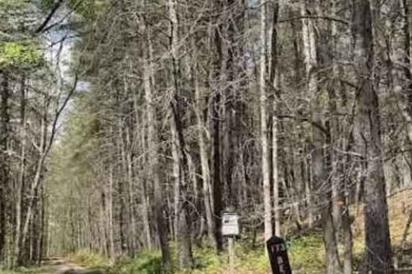
Bensons Run
Bensons Run, also known as State Route 173, begins immediately with a low‑water crossing after turning off Route 629. A gravel road continues through private property used as a cattle farm. After a second low‑water crossing, the trail reaches a gate marked with a reminder to close it behind you. Acc...
Learn more about Bensons Run
Alier Hollow
Alier Hollow, also known as Forest Road 255, is a side spur off Bensons Run. As with Bensons Run, the route begins with a pair of gates used to cross the cattle farm. Users must close each gate behind them to maintain access across the property.
The lower half of the trail, which is open year‑round...
Learn more about Alier Hollow
Big Mary
Big Mary is an easy-going 2.9-mile gravel forest service road in the George Washington National Forest, perfect for novice offroaders, scenic drivers, and outdoor enthusiasts looking to explore the beautiful Appalachian backcountry. Following the scenic corridor of Big Mary Creek, this trail feature...
Learn more about Big Mary
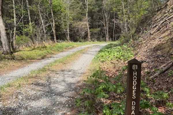
Hodges Draft
Hodges Draft, also known as State Route 81, is a well‑maintained gravel road with no significant obstacles. The trail is generally uneventful, and the scenery is limited to the surrounding forest. The first portion of the route passes through private property with a right‑of‑access corridor leading ...
Learn more about Hodges Draft
ATV trails near Millboro, Virginia
Explore ATV-friendly trails near you. These trails are accessible for vehicles up to 50 inches wide, perfect for ATVs and smaller off-road machines.
Hog Camp
Hog Camp Road provides access to a variety of hiking and camping opportunities in the George Washington National Forest. The south end is well traveled and easily passable, however north of the Mount Pleasant Scenic Area, expect more rugged terrain.
Learn more about Hog Camp
Big Piney
Big Piney is a gravel road passing through a portion of the George Washington National Forest, offering access to hiking, camping and swimming. The trail is rocky and typically unmaintained after rain or snow. You may encounter shallow water crossings and obstacles under 12" on the trail, including ...
Learn more about Big Piney
Cow Camp Road
This is a rocky fire road in the George Washington National Forest, connecting Highway 60 to Wiggins Hill Road. It is typically unmaintained after rain or snow and you may encounter shallow water crossings and obstacles under 12" on the trail, including small ledges. The road is typically one to two...
Learn more about Cow Camp Road
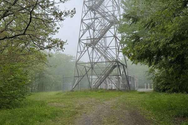
FR1176
FR 1176 leads from Big Piney up to a peak where cell towers can be found. The drive up includes several rocky sections, some steep sections and rock ledges. This trail also provides access to Greasy Springs Trail.
Learn more about FR1176
UTV/side-by-side trails near Millboro, Virginia
Find UTV and side-by-side trails near you. These trails accommodate vehicles up to 60 inches wide, ideal for UTVs, side-by-sides, and wider off-road rigs.
Hog Camp
Hog Camp Road provides access to a variety of hiking and camping opportunities in the George Washington National Forest. The south end is well traveled and easily passable, however north of the Mount Pleasant Scenic Area, expect more rugged terrain.
Learn more about Hog Camp
Big Piney
Big Piney is a gravel road passing through a portion of the George Washington National Forest, offering access to hiking, camping and swimming. The trail is rocky and typically unmaintained after rain or snow. You may encounter shallow water crossings and obstacles under 12" on the trail, including ...
Learn more about Big Piney
Cow Camp Road
This is a rocky fire road in the George Washington National Forest, connecting Highway 60 to Wiggins Hill Road. It is typically unmaintained after rain or snow and you may encounter shallow water crossings and obstacles under 12" on the trail, including small ledges. The road is typically one to two...
Learn more about Cow Camp Road
FR1176
FR 1176 leads from Big Piney up to a peak where cell towers can be found. The drive up includes several rocky sections, some steep sections and rock ledges. This trail also provides access to Greasy Springs Trail.
Learn more about FR1176
The onX Offroad Difference
onX Offroad combines trail photos, descriptions, difficulty ratings, width restrictions, seasonality, and more in a user-friendly interface. Available on all devices, with offline access and full compatibility with CarPlay and Android Auto. Discover what you're missing today!
Open Trail Map