
Dirt Bike Trails
Near Yucca, Arizona
Explore All Dirt Bike Trails Near Yucca, Arizona
Dirt Bike Trails Near Yucca, Arizona
Discover the best dirt bike trails near you. Browse trail maps, check difficulty ratings, and find your next adventure — whether you're looking for a quick ride or an all-day expedition.
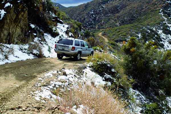
Hualapai Mountains
The road meanders along ridges and climbs to over 7,000 feet. There are enough side roads here to spend an entire afternoon adventuring. Low desert runs can be extremely hot during the summer, so this trail is a nice break with cooler temperatures. Visit the historic Boriana Mine complex for an int...
Learn more about Hualapai Mountains
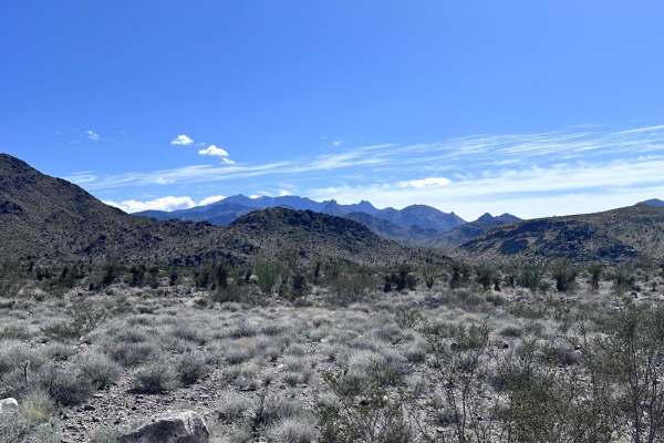
Hualapai Foothills to Mountain Connector
This 19.5-mile point-to-point trail connects the Hualapai Foothills trail and the Hualapai Mountain trail. The trail runs along a high-pressure gas pipeline. This trail is also a bypass for the Hualapai Mountains when impassable in winter months for the Arizona Peace Trail. The trail is passable by ...
Learn more about Hualapai Foothills to Mountain Connector
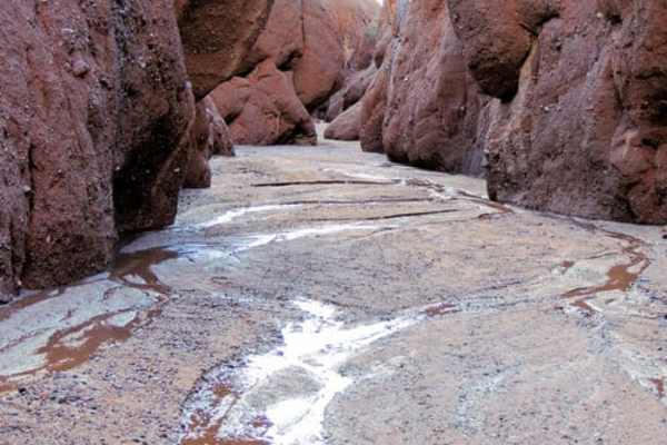
Maggie Slot Canyon
This is a beautiful trip--wow! Drive a 3-mile slot canyon and hike 2 narrow slot canyons off to the sides of the driveable one. This canyon is a long way from anywhere but do not let that scare you;the canyon drive and two short hikes go quite quickly. Caution: this trail crosses a lot of private l...
Learn more about Maggie Slot Canyon
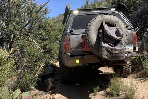
Brutal Run to Wickiup
The Brutal Run to Wickiup is a punishing, vehicle-testing adventure designed strictly for experienced offroaders seeking a high-clearance challenge through the rugged Hualapai Mountains. Stretching approximately 37 miles from the desert flats near Cactus Mountain to US Highway 93 near Wickiup, this ...
Learn more about Brutal Run to Wickiup
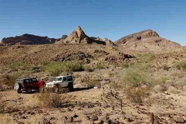
Warm Springs
This road forms the boundary of Warm Springs Wilderness for over half the way. This is a very bumpy, and quite boring, trail that makes a loop along the edge of Warm Springs Wilderness. We do not recommend the trail, but it is well known in the area so we have included it on this website. We began ...
Learn more about Warm Springs
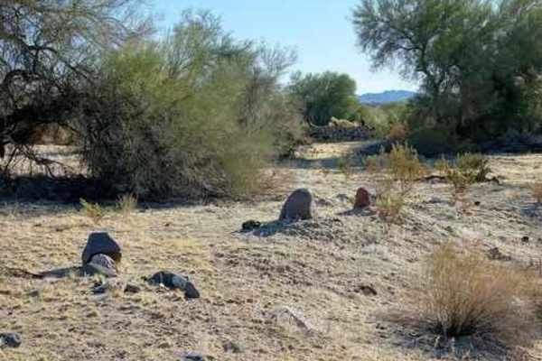
Klaner and Doolin Pits
Follow the track along the south side of the tracks and stop at the waypoint for Hobo graves. Continue along the south side of the tracks, cross over to the north side and view the site of the old siding. There is a concrete slab that was likely the station house. Head north and watch for an inter...
Learn more about Klaner and Doolin Pits
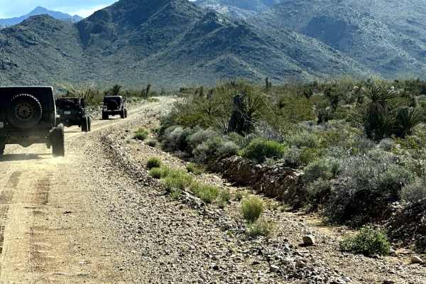
Walnut Creek to Survivalist Camp Trail
This 17.1-mile point-to-point trail takes you along Walnut Creek (seasonal water flow) past Walnut Ranch and the Hualapai Survivalist Camp and connects to the Hualapai Mountain Trail. At 0.7 miles on the trail, right before the 3-track rail crossing, you will pass a memorial for three local off-road...
Learn more about Walnut Creek to Survivalist Camp Trail
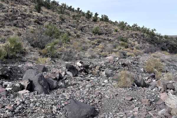
Cholla Pass Trail - H1165
This 4.8-mile point-to-point trail crosses over a mountain pass in the Hualapai Foothills. The trail gets its name from the many Cholla cactus growing in the canyon. This is a great trail for a new off-roader to improve their skills. The trail has several steep climbs with loose rocks and rocky cros...
Learn more about Cholla Pass Trail - H1165
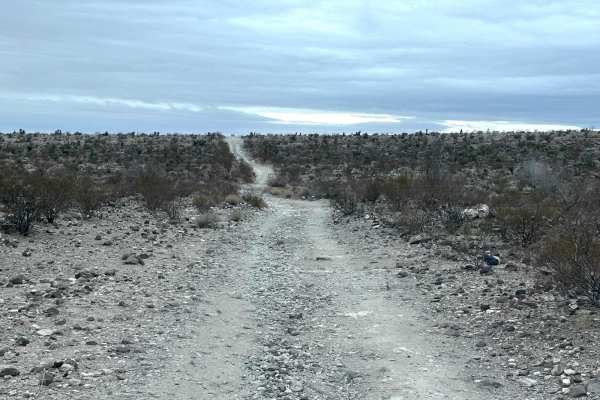
Alkali Spring
This 10-mile out-and-back trail takes you into the Warm Spring Wilderness Area to Alkali Spring. This is one of only two roads that goes into this portion of the Black Mountains. The trail is single-vehicle width and a portion follows along a wash. There are sections with rocks up to 12 inches in he...
Learn more about Alkali Spring
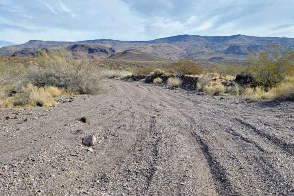
Wilderness Edge
Wilderness Edge is an out-and-back wash trail that dead-ends at the very edge of the Warm Springs Wilderness. The distance is 3 miles to the end of the trail; 6 miles roundtrip. The route begins from off of McHeffy Wash trail. The terrain of the route is classic to that of any wash--loose sand/grave...
Learn more about Wilderness Edge
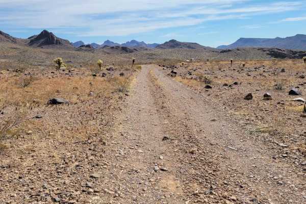
Lone Mine Trail
Lone Mine Trail doesn't lead to just one mine, but actually two abandoned mine shafts only a few feet apart. The route is a short one-mile out; two miles round-trip. The trail begins as an easy two-track heading south. As you begin going downhill, you'll encounter some large rocks scattered on the t...
Learn more about Lone Mine Trail
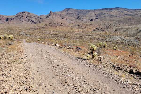
Black Range Mine
Get ready for a mine-sweeping adventure with the Black Range Mine trail! What begins on public BLM land crosses private property lines but is fortunately open to public access (at the time of mapping). So far there are no gates or signs that deter access--please respect the area and the old mines so...
Learn more about Black Range Mine
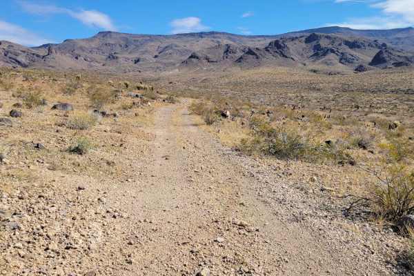
Rocky Road
Rocky Road receives its name from the high volume of loose rocks throughout the trail. It is a 2-mile trail one way with the option of connecting to the Wilderness Edge trail for an easier ride out. The trail begins off of Oatman Highway (10) as an unassuming two-track, but soon enough the rocks wil...
Learn more about Rocky Road
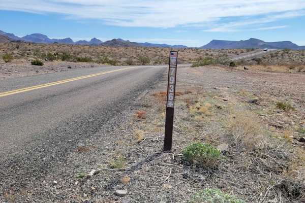
Green Quartz Mine (7936)
This is an out-and-back loop trail that leads you to the Green Quartz Mine. Despite its name, this underground mining operation wasn't seeking quartz at all, but rather gold and silver. This route is on public BLM land but there are a few off-shoot trails that cross into private property. There are ...
Learn more about Green Quartz Mine (7936)
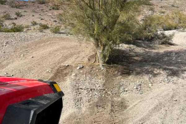
Backway to Bunker Bar
Tired of fighting all the cars on Thirsty Lizard Road? Ready to take a break for a cold drink and some good food? Take this secret passage behind Havasu Heights to get to the Bunker! Respect the neighbors through Havasu Heights by minimizing dust and following speed limits. Also, make sure to watch ...
Learn more about Backway to Bunker Bar
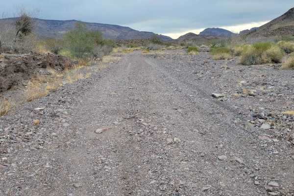
McHeffy Wash
McHeffy Wash is an out-and-back wash trail that leads to the edge of the Warm Springs Wilderness, gaining its name from the McHeffy Butte that it parallels to the south. The distance is 3.5 miles to the end of the trail;7 miles roundtrip. The trail begins as a large wash right off of Oatman Highway ...
Learn more about McHeffy Wash
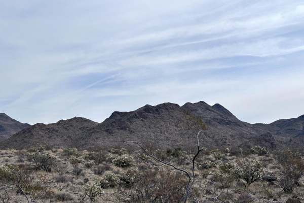
Number Five Trough Trail
This 4.1-mile point-to-point trail is a side trail of the Hualapai Foothills trail. The trail follows the wash, with sections in the wash. This trail passes through several watering tanks for livestock. Stay alert for any cattle and slow down while passing. The trail is passable by any stock 4WD veh...
Learn more about Number Five Trough Trail
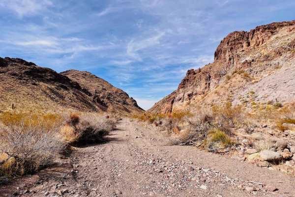
Hidden Valley from White Chief Mine
This is a narrow, challenging loop trail to a beautiful valley. The trail can be run in either direction, picking up from the White Chief Mine or the wash leading to the mine. Both ends of the trail run in the wash for a while. Much of it is deep, loose sand. The trail will run up and around a large...
Learn more about Hidden Valley from White Chief Mine
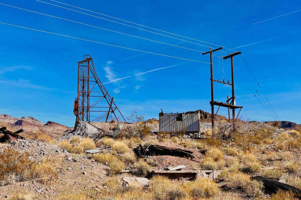
White Chief Mine
This is a short out-and-back sandy trail to the White Chief Mine. The trail picks up from historic Route 66 outside Oatman. The beginning of this trail is a wide sandy wash. The surface is loose, and there are a couple of rock sections in the wash to drive over or around. The trail turns up out of t...
Learn more about White Chief Mine
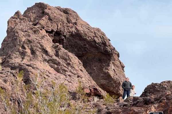
Topock Slot Canyon
From Window Rock, proceed west to Topock and hang a right. The trail winds along a ridge line before diving into a nice, tight slot canyon. Longer wheelbase vehicles will have a bit of a challenge negotiating a few of the curves, but a standard Polaris Turbo S 4 can negotiate with no issues. The tra...
Learn more about Topock Slot Canyon
ATV trails near Yucca, Arizona
Explore ATV-friendly trails near you. These trails are accessible for vehicles up to 50 inches wide, perfect for ATVs and smaller off-road machines.
Hualapai Mountains
The road meanders along ridges and climbs to over 7,000 feet. There are enough side roads here to spend an entire afternoon adventuring. Low desert runs can be extremely hot during the summer, so this trail is a nice break with cooler temperatures. Visit the historic Boriana Mine complex for an int...
Learn more about Hualapai Mountains
Hualapai Foothills to Mountain Connector
This 19.5-mile point-to-point trail connects the Hualapai Foothills trail and the Hualapai Mountain trail. The trail runs along a high-pressure gas pipeline. This trail is also a bypass for the Hualapai Mountains when impassable in winter months for the Arizona Peace Trail. The trail is passable by ...
Learn more about Hualapai Foothills to Mountain Connector
Maggie Slot Canyon
This is a beautiful trip--wow! Drive a 3-mile slot canyon and hike 2 narrow slot canyons off to the sides of the driveable one. This canyon is a long way from anywhere but do not let that scare you;the canyon drive and two short hikes go quite quickly. Caution: this trail crosses a lot of private l...
Learn more about Maggie Slot Canyon
Brutal Run to Wickiup
The Brutal Run to Wickiup is a punishing, vehicle-testing adventure designed strictly for experienced offroaders seeking a high-clearance challenge through the rugged Hualapai Mountains. Stretching approximately 37 miles from the desert flats near Cactus Mountain to US Highway 93 near Wickiup, this ...
Learn more about Brutal Run to Wickiup
UTV/side-by-side trails near Yucca, Arizona
Find UTV and side-by-side trails near you. These trails accommodate vehicles up to 60 inches wide, ideal for UTVs, side-by-sides, and wider off-road rigs.
Hualapai Mountains
The road meanders along ridges and climbs to over 7,000 feet. There are enough side roads here to spend an entire afternoon adventuring. Low desert runs can be extremely hot during the summer, so this trail is a nice break with cooler temperatures. Visit the historic Boriana Mine complex for an int...
Learn more about Hualapai Mountains
Hualapai Foothills to Mountain Connector
This 19.5-mile point-to-point trail connects the Hualapai Foothills trail and the Hualapai Mountain trail. The trail runs along a high-pressure gas pipeline. This trail is also a bypass for the Hualapai Mountains when impassable in winter months for the Arizona Peace Trail. The trail is passable by ...
Learn more about Hualapai Foothills to Mountain Connector
Maggie Slot Canyon
This is a beautiful trip--wow! Drive a 3-mile slot canyon and hike 2 narrow slot canyons off to the sides of the driveable one. This canyon is a long way from anywhere but do not let that scare you;the canyon drive and two short hikes go quite quickly. Caution: this trail crosses a lot of private l...
Learn more about Maggie Slot Canyon
Brutal Run to Wickiup
The Brutal Run to Wickiup is a punishing, vehicle-testing adventure designed strictly for experienced offroaders seeking a high-clearance challenge through the rugged Hualapai Mountains. Stretching approximately 37 miles from the desert flats near Cactus Mountain to US Highway 93 near Wickiup, this ...
Learn more about Brutal Run to Wickiup
The onX Offroad Difference
onX Offroad combines trail photos, descriptions, difficulty ratings, width restrictions, seasonality, and more in a user-friendly interface. Available on all devices, with offline access and full compatibility with CarPlay and Android Auto. Discover what you're missing today!
Open Trail Map