Warm Springs

Total Miles 22.6
Technical Rating
5 Moderate
Best Time Summer, Fall
Trail Type High-Clearance 4x4 Trail
Accessible By
Open Trail Map

Trail Overview

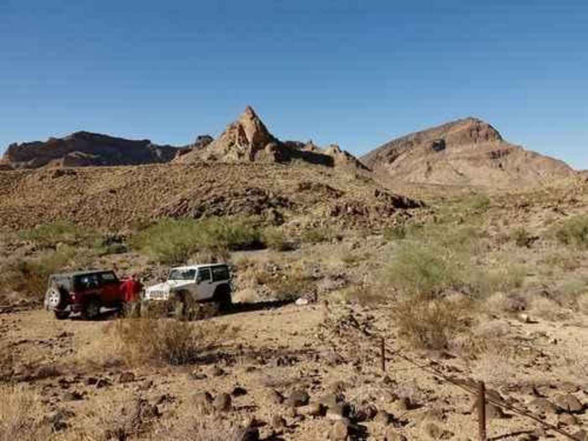
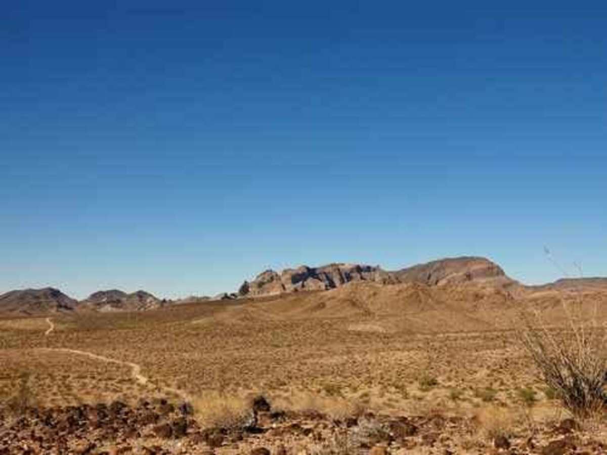
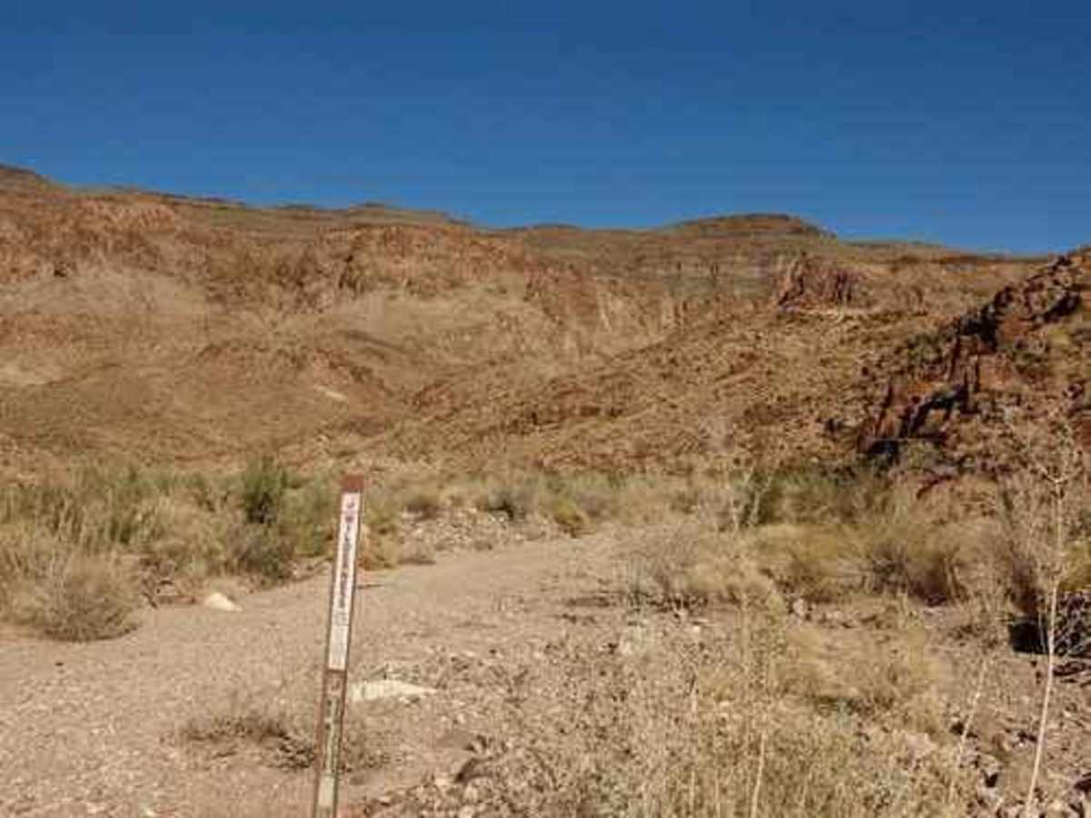
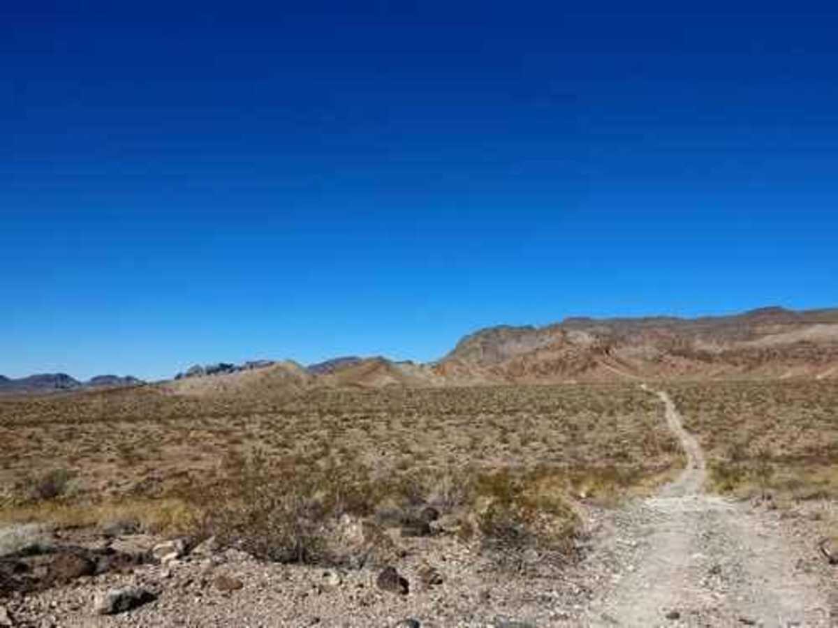
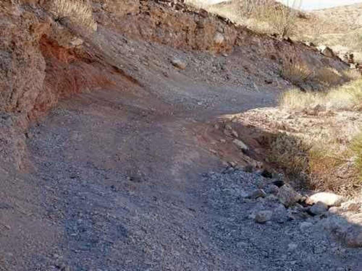
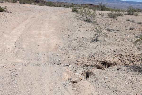
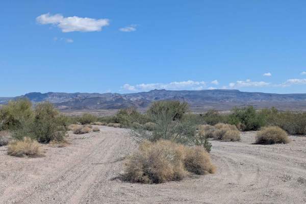
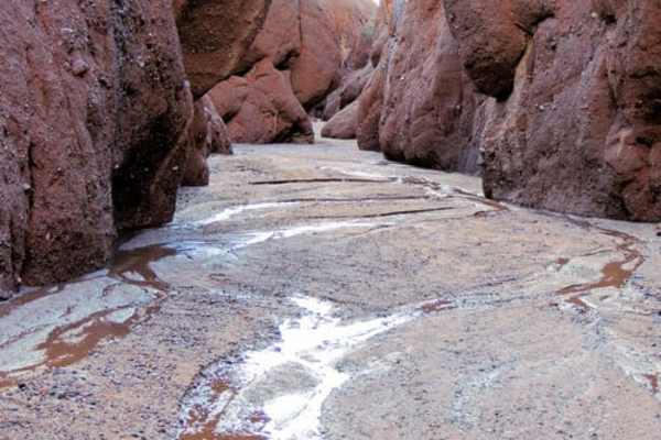
This road forms the boundary of Warm Springs Wilderness for over half the way. This is a very bumpy, and quite boring, trail that makes a loop along the edge of Warm Springs Wilderness. We do not recommend the trail, but it is well known in the area so we have included it on this website. We began at the end of Klaner and Doolin Pits, but the trail can be done either way. The road goes north following the boundary of Warm Springs Wilderness and the base of the Black Mountains. It is very bumpy and slow going with numerous eroded sections. The Black Mountains are nice to look at but there are no attractions close to the road. The first spur protrudes a mile into the wilderness and stops. No reason to go unless you want to hike beyond the road. The second spur stops a mile or so from the actual Warm Springs. The road between the two spurs continues to be slow and bumpy. Turn south from the second spur and take a road slightly less bumpy but much more boring through flattish, open desert. We recommend you turn left at the railroad tracks and follow a graded road along the tracks to I-40 at Exit 13. There is a trail that goes to Exit 9, but it has many washboards and whoop-de-doos. It is shorter but slower.

Photos of Warm Springs

Difficulty

Uneven, rutted dirt trail with loose rocks, sand, erosion, and washes. Potential water crossings up to 18" deep, mud holes, and obstacles up to 2 feet, including ledges and short, steep grades.

Technical Rating

5

Status Reports

Add Status Report
Richard A
Feb 28, 2026
Open
The trail was as described. We started out where Klaner and Doolin Pits trail turned into Warm Springs and traveled west to Polaris Road which took us out to Old Route 66. The trail about a mile south of Polaris Road is closed. There is a chain that goes across the trail and a sign that says road closed. There is one point on the trail between Warms Springs Canyon and Klaner trail where you have to make a sharp turn while off chamber in a rut. The back end of my Gladiator slide about 2 feet while going down hill and making the turn. That was the most sketchy part of the trail. It was rocky and bumpy even being aired down to 15 psi. It was mostly crushed rock and packed dirt. It was rocky in parts, but I don't recall seeing mostly basketball size rocks. We made the two trails in about 2 1/2 hours with one stop. We saw about a dozen burros south of Warm Springs Canyon.
matt burns
Feb 23, 2026
Open
Made the whole loop in 5 hrs 2016 Tacoma with 1 inch lift , KO2 tires. Not for the faint hearted, saw lots of donkeys near the top. Would never attempt with any less tire. Aired down to 25 psi.
Geof Fairchild
Feb 23, 2026
Open
Very bumpy!!!! Driving over basketball size rocks the entire time. If you want to do this just go to the top of the mountain and get a great view then turn around and go somewhere else.

Warm Springs Trail can be accessed by the following ride types:

  • Single Track
  • 50 Inch
  • 60 Inch
  • High Clearance

Warm Springs Map

The onX Offroad Difference

onX Offroad combines trail photos, descriptions, difficulty ratings, width restrictions, seasonality, and more in a user-friendly interface. Available on all devices, with offline access and full compatibility with CarPlay and Android Auto. Discover what you're missing today!

Open Trail Map