Trail Overview
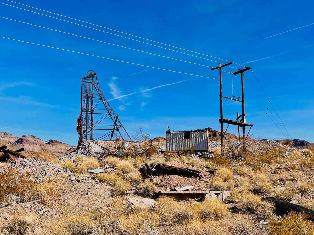
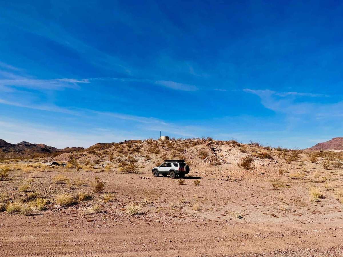
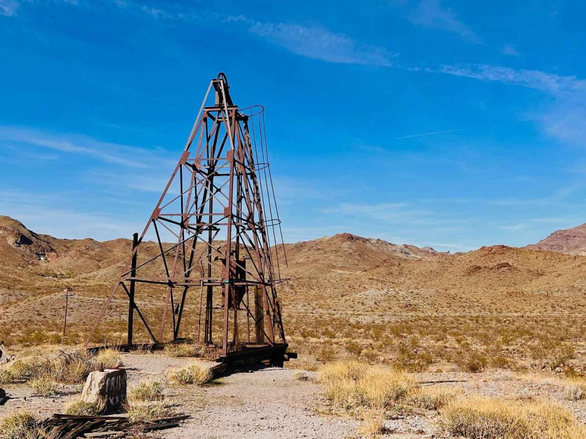
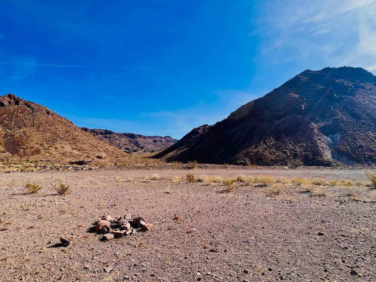
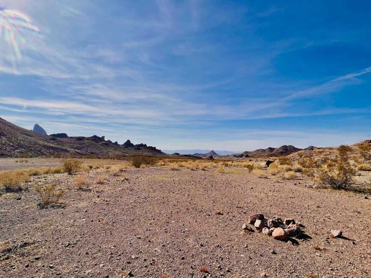
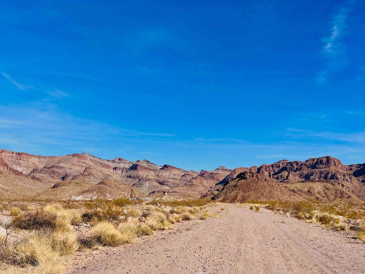
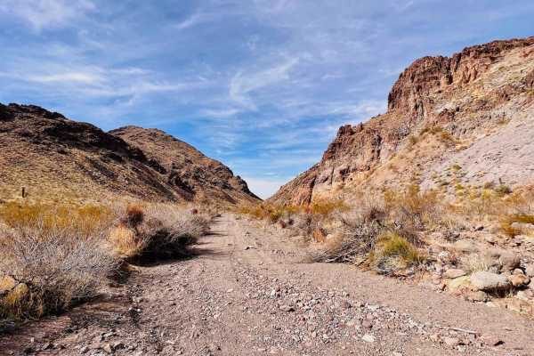
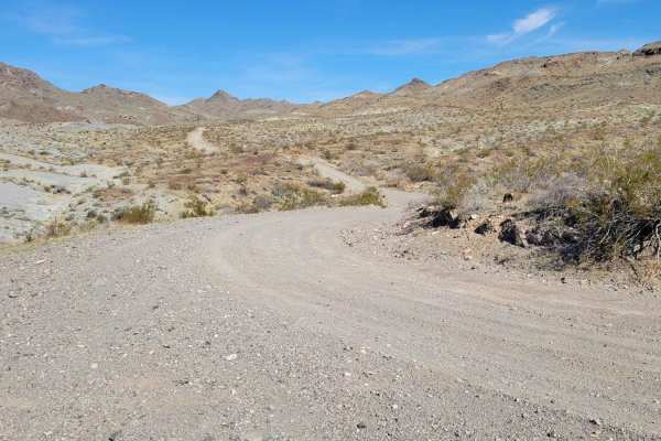
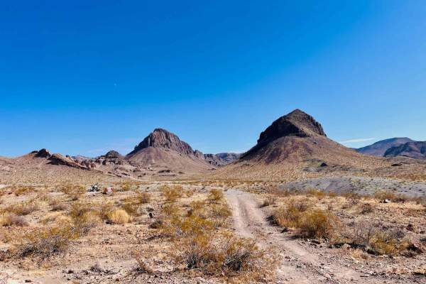
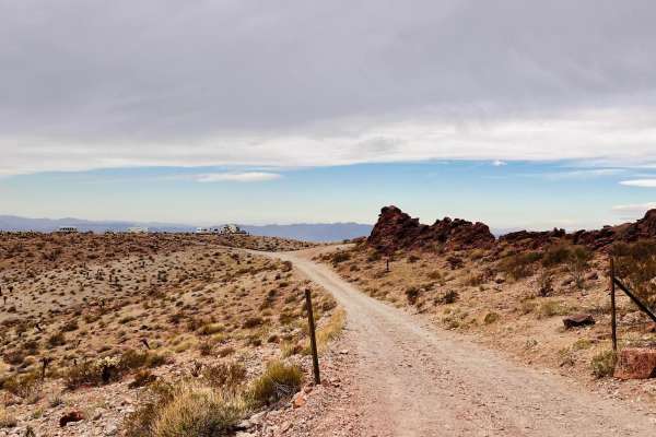
This is a short out-and-back sandy trail to the White Chief Mine. The trail picks up from historic Route 66 outside Oatman. The beginning of this trail is a wide sandy wash. The surface is loose, and there are a couple of rock sections in the wash to drive over or around. The trail turns up out of the wash to get to the mine. This transition is the most complicated spot on the trail. Depending on how recently water has run through the wash, getting up and out of the wash can be a steeper shelf. The rest of the trail around and up to the mine is easy. There is a nice, big, open dispersed campsite down behind the mine. The site is tucked away from the view of the main highway, and it looks out to the mountains. The White Chief Mine is one of the better-preserved mines in the area. It has some metal cart towers and a few buildings left. Please check it out, but leave everything as you found it for others to enjoy. This area gets hot in the summer months, and this trail has no shade. Bring plenty of extra water and supplies if traveling in the warmer months. This area is also prevalent with rattlesnakes. There are only two AT&T cell service bars in the area.
Difficulty
The 3 rating is mainly for the beginning section, where you drive up a loose sandy wash for the first half of the trail. The shelf to get out of the wash is steep and could become more dug-out and steeper after the wash has flowed. This shelf requires good ground clearance to navigate. The remainder of the trail is easy.