
Dirt Bike Trails
Near Yerington, Nevada
Explore All Dirt Bike Trails Near Yerington, Nevada
Dirt Bike Trails Near Yerington, Nevada
Discover the best dirt bike trails near you. Browse trail maps, check difficulty ratings, and find your next adventure — whether you're looking for a quick ride or an all-day expedition.
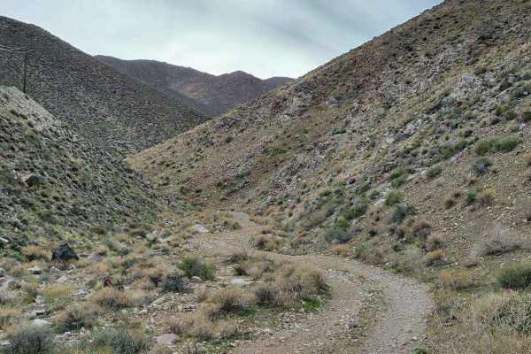
Hudson Pass
This trail is only 8.5 miles long, but the terrain is rough, making it feel like an accomplishment in a stock or lightly-modified vehicle. The trail can be driven in either direction, but it is probably more difficult going from the west to the east. The west side of the trail is mostly flat on a ro...
Learn more about Hudson Pass

Julian Drive
Julian Drive, at its North end, intersects with US 95A (39.1609, -119.1922). At the South end, it intersects with Sunrise Pass, where the trail changes its name to Artesia Rd. Julian Drive is a graded dirt road and an easy drive. In places on the trail, there are a few embedded rocks, having bee...
Learn more about Julian Drive
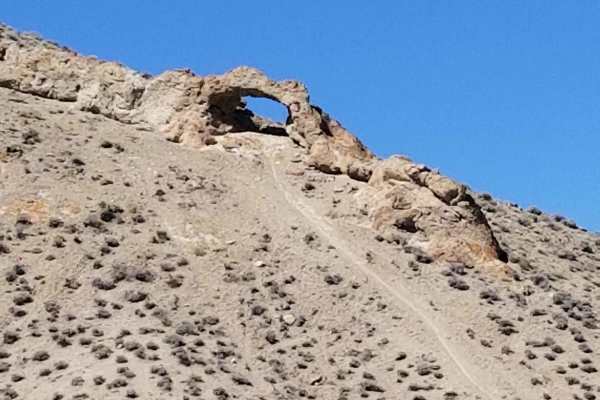
Backway to Wilson Spring Arch
Wilson Spring Arch is a good-sized natural arch. This route leads you into the Pine Nut Range. Besides the arch, you can reach sites like Pine Grove and Rockland. The trail starts following a creek bed, which is dry most of the time. After the creek bed, you climb over the hills into the next valley...
Learn more about Backway to Wilson Spring Arch
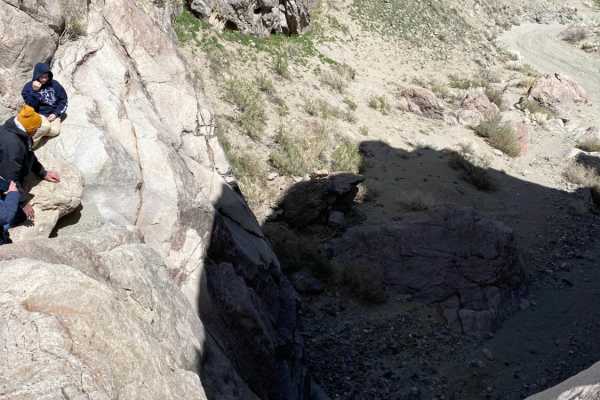
Pine Grove Connector ATV
Pine Grove Connector ATV is a short but highly challenging 0.7-mile route designed for advanced offroaders seeking to navigate extremely rugged, impassable-to-most terrain in the Pine Grove area. The trail begins at approximately 5,036 feet of elevation and rises to 5,148 feet, starting as a flat sa...
Learn more about Pine Grove Connector ATV
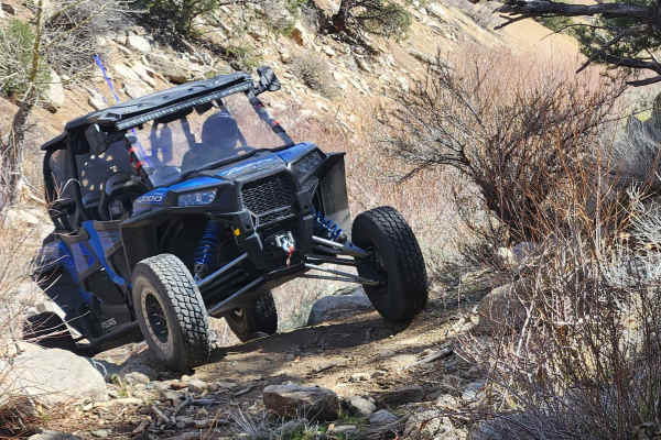
Como Sunrise Crossover Trail
Como Sunrise Crossover Trail is an interesting shortcut between Sunrise Pass and Old Como Road. You can include it in a loop you might make with those two great trails. It offers challenges on the North end, and a quiet, serene valley in the middle. From the South, an easy trail drops into the valle...
Learn more about Como Sunrise Crossover Trail
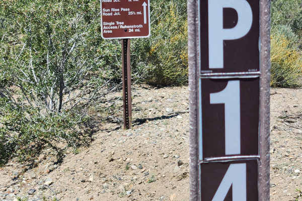
Pine Nut Valley Road - BLM P-14
Traveling 26 miles through the heart of the Pine Nut Mountains, this one-lane mountain trail has it all. It features a 4000-foot elevation change, high-altitude views, Pinion Pine and Juniper forests, open valleys, water crossings, rocks, sand, dirt, off-camber sections, a rock garden, and trenche...
Learn more about Pine Nut Valley Road - BLM P-14
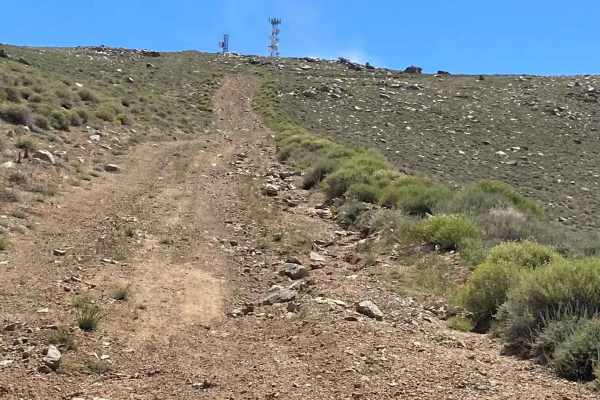
Bald Mountain
This eight-mile trail is a long and fairly steep climb to the top of one of the highest peaks in the area. It can be considered s a side trip off of the Walker Wassuk Ride, and the view of Walker Lake and the surrounding area makes it well worth the effort for a lunch stop to enjoy the endless view ...
Learn more about Bald Mountain
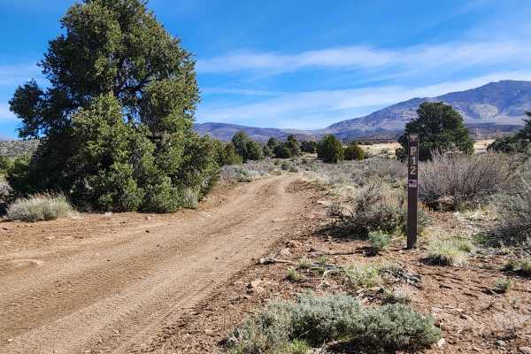
Lone Pine Canyon Road - BLM P-12
Traveling East from the Carson Valley, Lone Pine Canyon Road (BLM P-12) will take you into the Southern portion of the Pine Nut Mountains. It is a one-lane winding mountain trail with some moderate challenges. It gains altitude as you go East into the Pine Nuts. The trail once was lined with Junipe...
Learn more about Lone Pine Canyon Road - BLM P-12
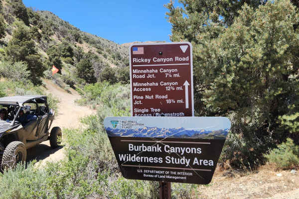
Rickey Canyon - BLM P-11
Where the P-11 trail crosses the peak of Bald Mountain at 9200 feet, you might think you were on top of the world. In any direction you look, the view is exceptional. But the views along the way are only part of the fun. From steep rocky climbs to small spring-fed mud bogs, overgrown water crossings...
Learn more about Rickey Canyon - BLM P-11
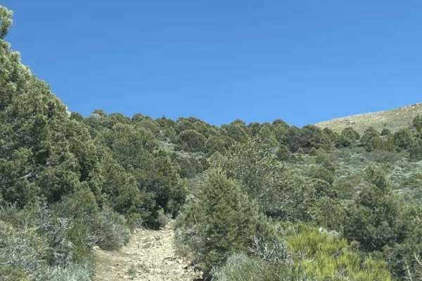
Mineral Valley Trail
This trail can connect you from Big Buck Meadows Trail to the Saddle of two over 8,000-foot peaks with spectacular views all around. The trail is VERY narrow with lots of Pinon trees and some boulders 2-3 feet at most. It can be very overgrown, so bringing a chainsaw and trimmers is recommended. Pin...
Learn more about Mineral Valley Trail
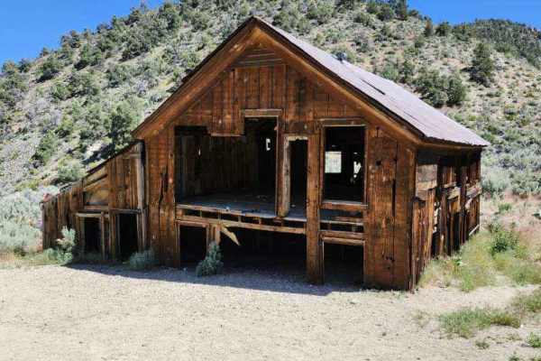
Pine Grove Summit
This trail is best driven in the summer and fall. There will be mud and snow in the winter and most likely into the spring as well. Also, check the weather report prior to attempting, as a significant part of the trail is subject to flash-flooding. Either side of this trail has an adequate staging a...
Learn more about Pine Grove Summit
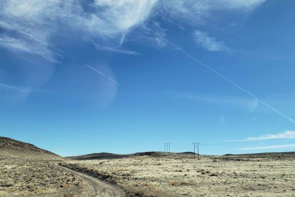
Clifton Flat Trail
Clifton Flat is a valley known for herds of wild horses and herds of Pronghorn Antelope. The trailhead starts at the unlocked barbed wire wild horse protection gate. Make sure to properly close and latch the gate. The trail begins on a graded dirt road. As you descend, the road narrows to a double-t...
Learn more about Clifton Flat Trail
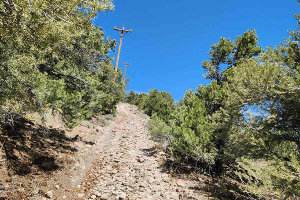
Rawe Peak West Trail
This trail leads to the top of Rawe Peak and is the Western half of a loop which is accessed from Old Como Road. It is a steep, rocky, narrow climb, with off-camber sections, ruts, and small fallen boulders narrowing the trail. On the upper section, oncoming traffic is a concern as it is a narrow ...
Learn more about Rawe Peak West Trail
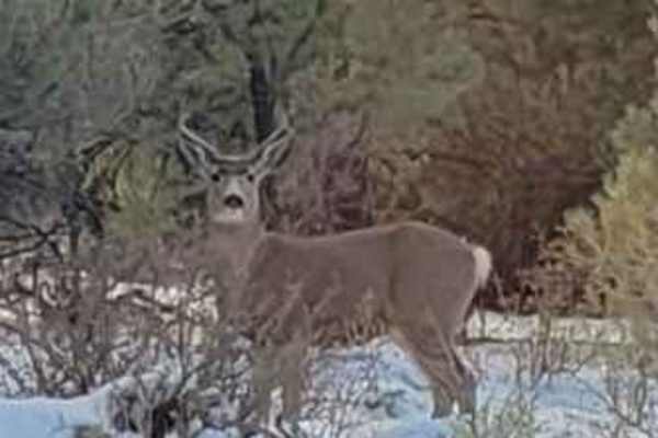
Big Buck Meadows Trail
Big Buck Meadows Trail follows the power line service road for about 1.5 miles. This portion of the trail consists of a single vehicle-wide trail with a few easy hairpin switchbacks. Ascending about 800 feet to an elevation of 7,211 ft. the trail surface is mostly packed gravel. As the road quickly ...
Learn more about Big Buck Meadows Trail
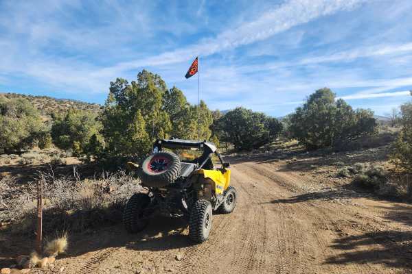
Pine Nuts P-16 Trail
Traveling East from the Carson Valley, P-16 Trail will take you into the heart of the Pine Nut Mountains. It is a one-lane winding mountain trail that gains altitude as you go East. The trail is lined with Juniper trees and Pinion Pines, with some open areas, and offers grand views of the Sierra Fro...
Learn more about Pine Nuts P-16 Trail
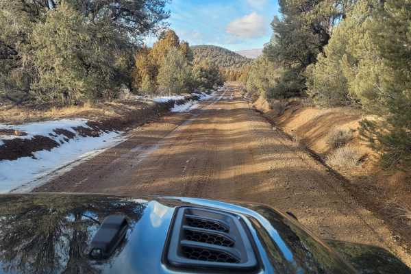
Utopian Mine Trail
This road takes you to the Utopian Mine located in the Pine Nut Mountains in Carson City County, Nevada. The graded dirt road is wide and flat for the first four miles. As you cross into Carson City County, the road is named Bruinswick Canyon Road. Turning on to a double-track side trail for the las...
Learn more about Utopian Mine Trail
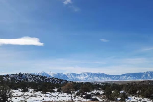
P-10 Trail
Named by the BLM, P-10 is a North/South trail passing along the East side of the Carson Valley. On the North it intersects Sunrise Pass (BLM R-09), and in the South intersecting with Pine Nut Road II (BLM P-11). P-10 is an easy trail, consisting of dirt, sand, and some rocky sections. There is a min...
Learn more about P-10 Trail
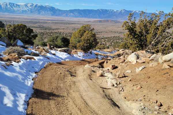
Power Line Trail RSM
The trail is typically one vehicle wide with a few places to pass on this double-track dirt and clay trail. The clay in this area is treacherous when wet. This first 1.7-mile portion of the trail gently descends from an elevation of 5,815 feet to 5,700 feet. The trail then ascends to the trail's hig...
Learn more about Power Line Trail RSM
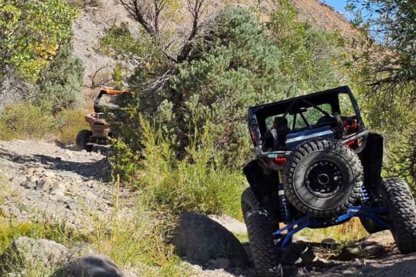
El Dorado Canyon OHV Trail
The route takes you from the Dayton area to Sunrise Pass. The canyon can be challenging with dirt, sand, and rock crawling sections. There is a creek that has seasonal water flow but does not make the trail undoable for high-clearance vehicles. It has cottonwood trees, pinon pine trees, and other ve...
Learn more about El Dorado Canyon OHV Trail
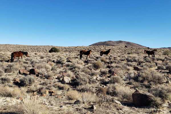
Wild Horse Trail
This route takes you from the outskirts of Dayton, Nevada to Clifton Flats. The trail head starts at the unlocked wild horse protection gate. Make sure to properly close and latch the gate. The trail begins on a graded dirt road. As you ascend, the road narrows to a double track trail. The surface v...
Learn more about Wild Horse Trail
ATV trails near Yerington, Nevada
Explore ATV-friendly trails near you. These trails are accessible for vehicles up to 50 inches wide, perfect for ATVs and smaller off-road machines.
Hudson Pass
This trail is only 8.5 miles long, but the terrain is rough, making it feel like an accomplishment in a stock or lightly-modified vehicle. The trail can be driven in either direction, but it is probably more difficult going from the west to the east. The west side of the trail is mostly flat on a ro...
Learn more about Hudson Pass
Julian Drive
Julian Drive, at its North end, intersects with US 95A (39.1609, -119.1922). At the South end, it intersects with Sunrise Pass, where the trail changes its name to Artesia Rd. Julian Drive is a graded dirt road and an easy drive. In places on the trail, there are a few embedded rocks, having bee...
Learn more about Julian Drive
Backway to Wilson Spring Arch
Wilson Spring Arch is a good-sized natural arch. This route leads you into the Pine Nut Range. Besides the arch, you can reach sites like Pine Grove and Rockland. The trail starts following a creek bed, which is dry most of the time. After the creek bed, you climb over the hills into the next valley...
Learn more about Backway to Wilson Spring Arch
Como Sunrise Crossover Trail
Como Sunrise Crossover Trail is an interesting shortcut between Sunrise Pass and Old Como Road. You can include it in a loop you might make with those two great trails. It offers challenges on the North end, and a quiet, serene valley in the middle. From the South, an easy trail drops into the valle...
Learn more about Como Sunrise Crossover Trail
UTV/side-by-side trails near Yerington, Nevada
Find UTV and side-by-side trails near you. These trails accommodate vehicles up to 60 inches wide, ideal for UTVs, side-by-sides, and wider off-road rigs.
Hudson Pass
This trail is only 8.5 miles long, but the terrain is rough, making it feel like an accomplishment in a stock or lightly-modified vehicle. The trail can be driven in either direction, but it is probably more difficult going from the west to the east. The west side of the trail is mostly flat on a ro...
Learn more about Hudson Pass
Julian Drive
Julian Drive, at its North end, intersects with US 95A (39.1609, -119.1922). At the South end, it intersects with Sunrise Pass, where the trail changes its name to Artesia Rd. Julian Drive is a graded dirt road and an easy drive. In places on the trail, there are a few embedded rocks, having bee...
Learn more about Julian Drive
Backway to Wilson Spring Arch
Wilson Spring Arch is a good-sized natural arch. This route leads you into the Pine Nut Range. Besides the arch, you can reach sites like Pine Grove and Rockland. The trail starts following a creek bed, which is dry most of the time. After the creek bed, you climb over the hills into the next valley...
Learn more about Backway to Wilson Spring Arch
Como Sunrise Crossover Trail
Como Sunrise Crossover Trail is an interesting shortcut between Sunrise Pass and Old Como Road. You can include it in a loop you might make with those two great trails. It offers challenges on the North end, and a quiet, serene valley in the middle. From the South, an easy trail drops into the valle...
Learn more about Como Sunrise Crossover Trail
The onX Offroad Difference
onX Offroad combines trail photos, descriptions, difficulty ratings, width restrictions, seasonality, and more in a user-friendly interface. Available on all devices, with offline access and full compatibility with CarPlay and Android Auto. Discover what you're missing today!
Open Trail Map