Trail Overview
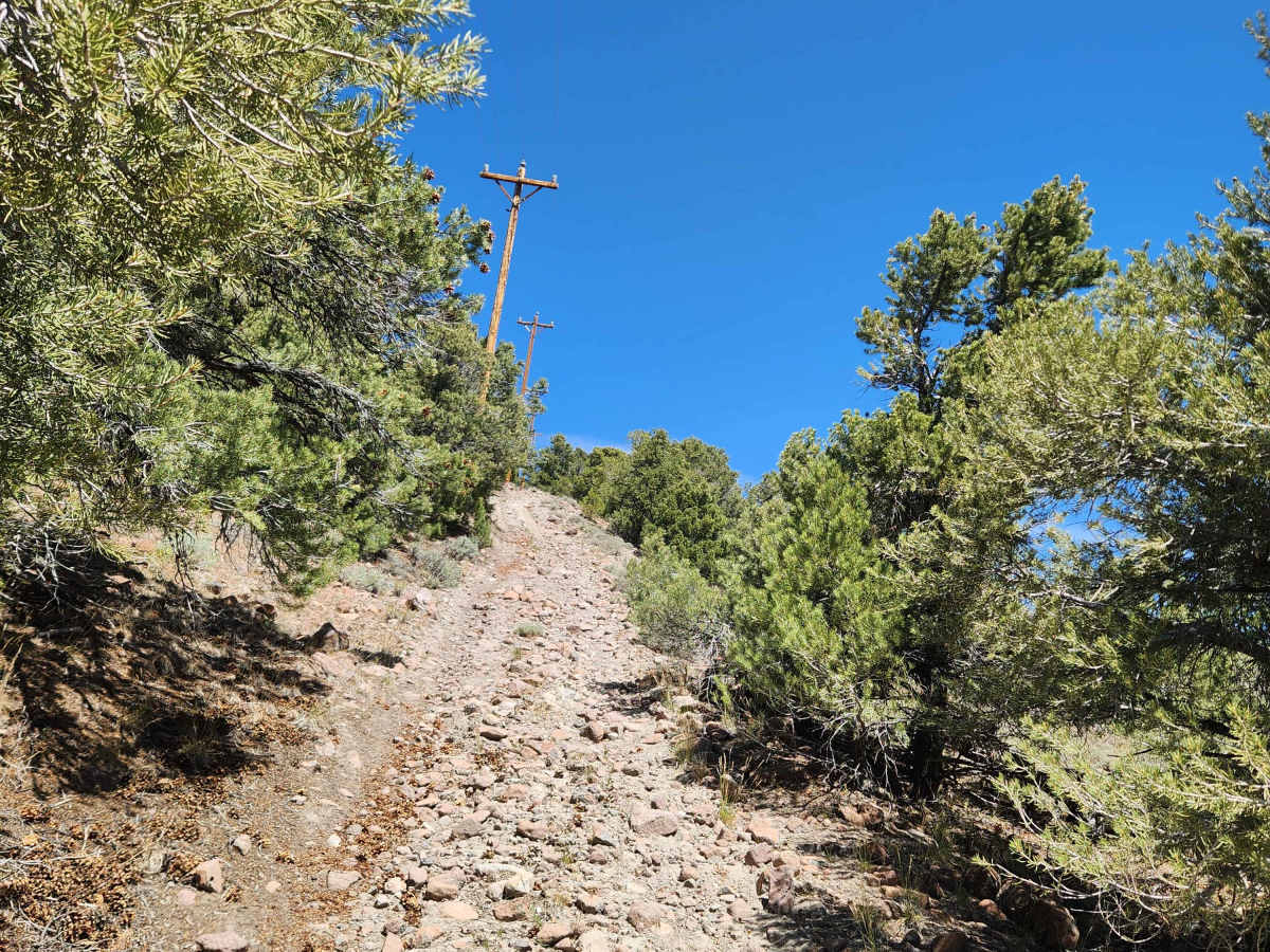
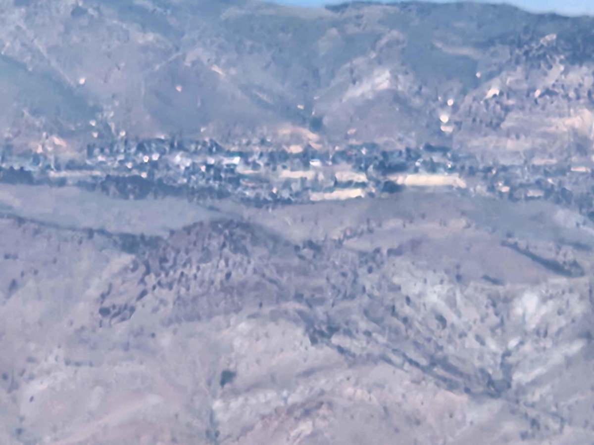
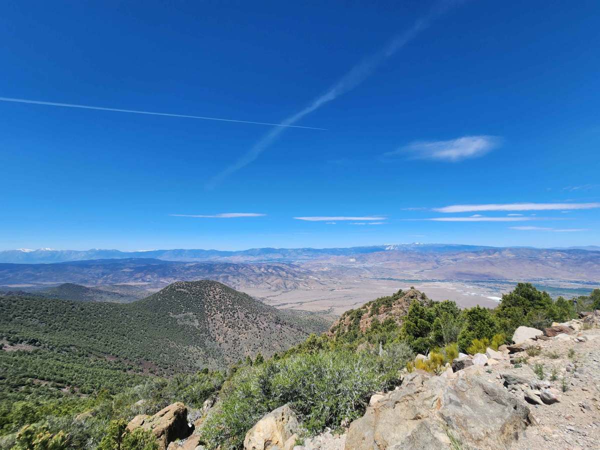
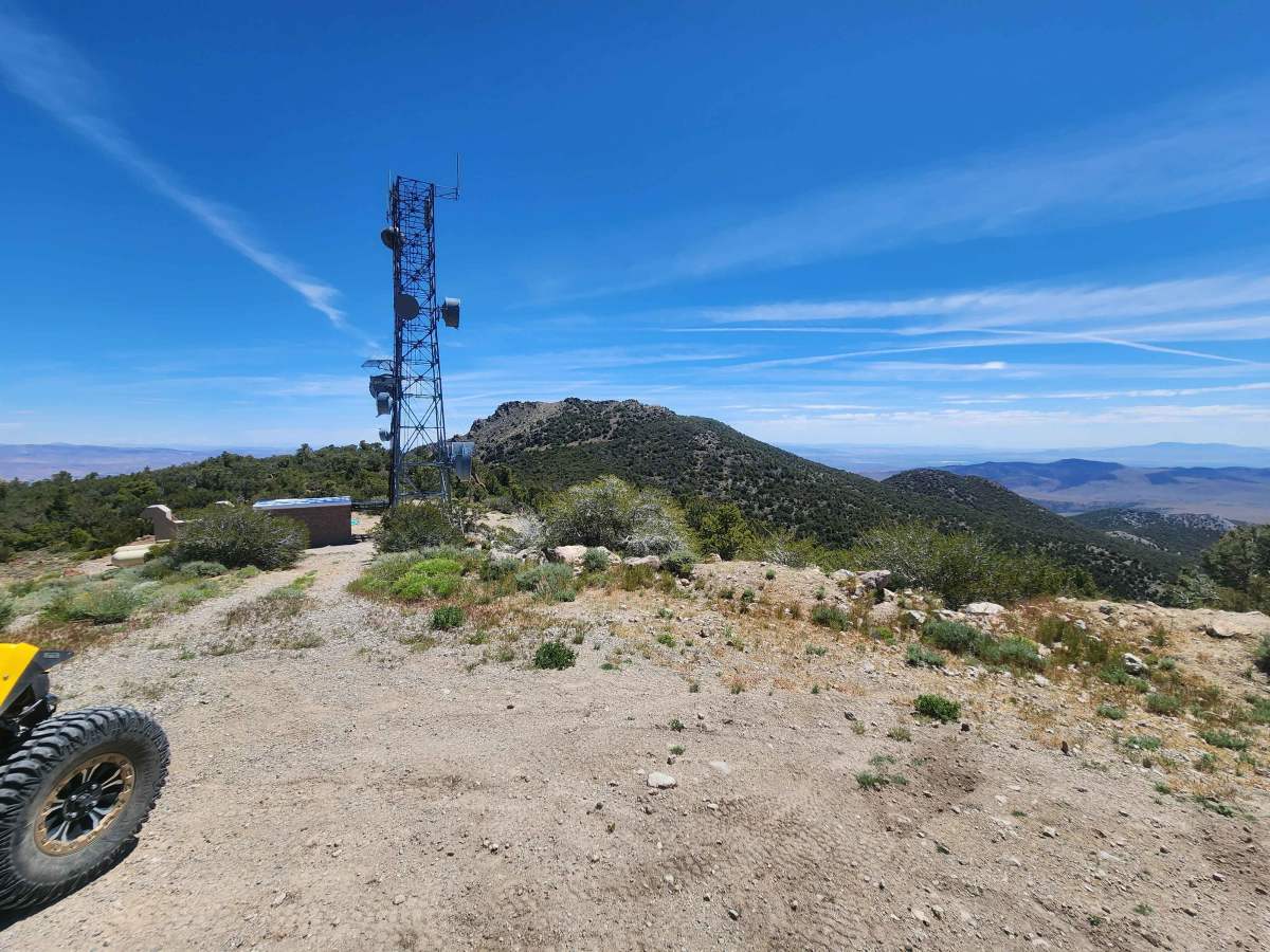
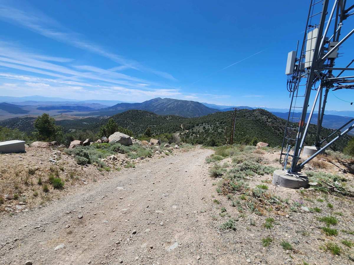
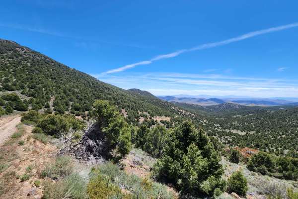
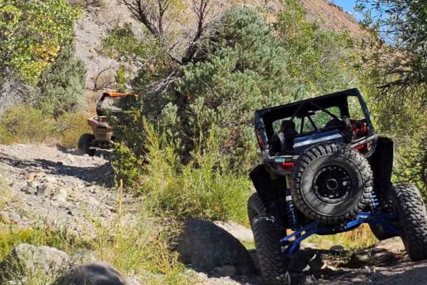
This trail leads to the top of Rawe Peak and is the Western half of a loop which is accessed from Old Como Road. It is a steep, rocky, narrow climb, with off-camber sections, ruts, and small fallen boulders narrowing the trail. On the upper section, oncoming traffic is a concern as it is a narrow shelf road with no place for two vehicles to pass (motorcycles excluded). At the top, it merges with the Eastern trail and a short drive to the top and an outstanding view. The view includes the Sierra Front, the Buckskin and Singatsee Ranges, the Pinenut Mountains, and twelve miles away, Virginia City. When you leave, you can complete the loop and take an easy ride down the Eastern trail back to Old Como Road.
Difficulty
If you start from Old Como Road and climb, the difficulty increases as you proceed. The upper half is steep, rocky, off camber and narrow. Wider vehicles will find it tight. If you meet another vehicle, someone is backing up.