Old Como Road

Total Miles 19.9
Technical Rating
2 Easy
Best Time Summer, Fall
Trail Type Full-Width Road
Accessible By
Open Trail Map

Trail Overview

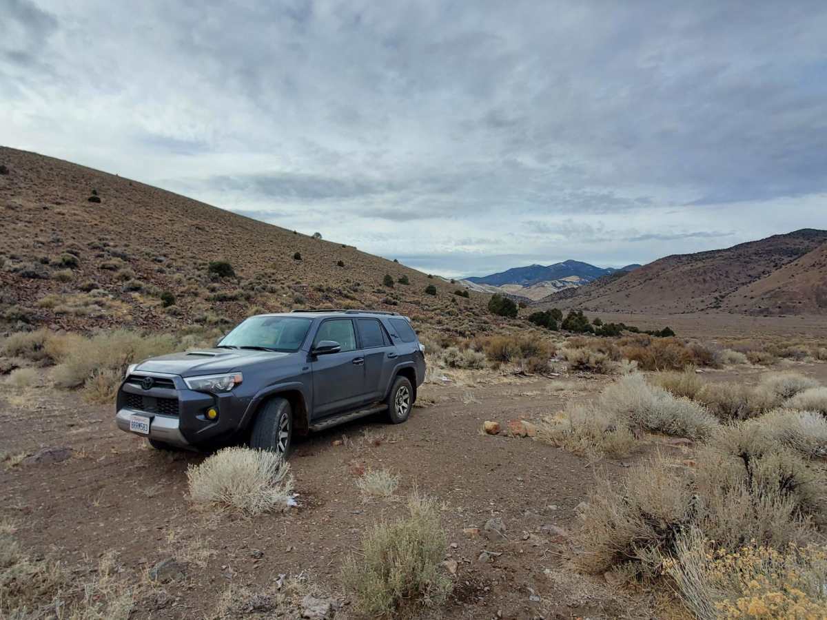
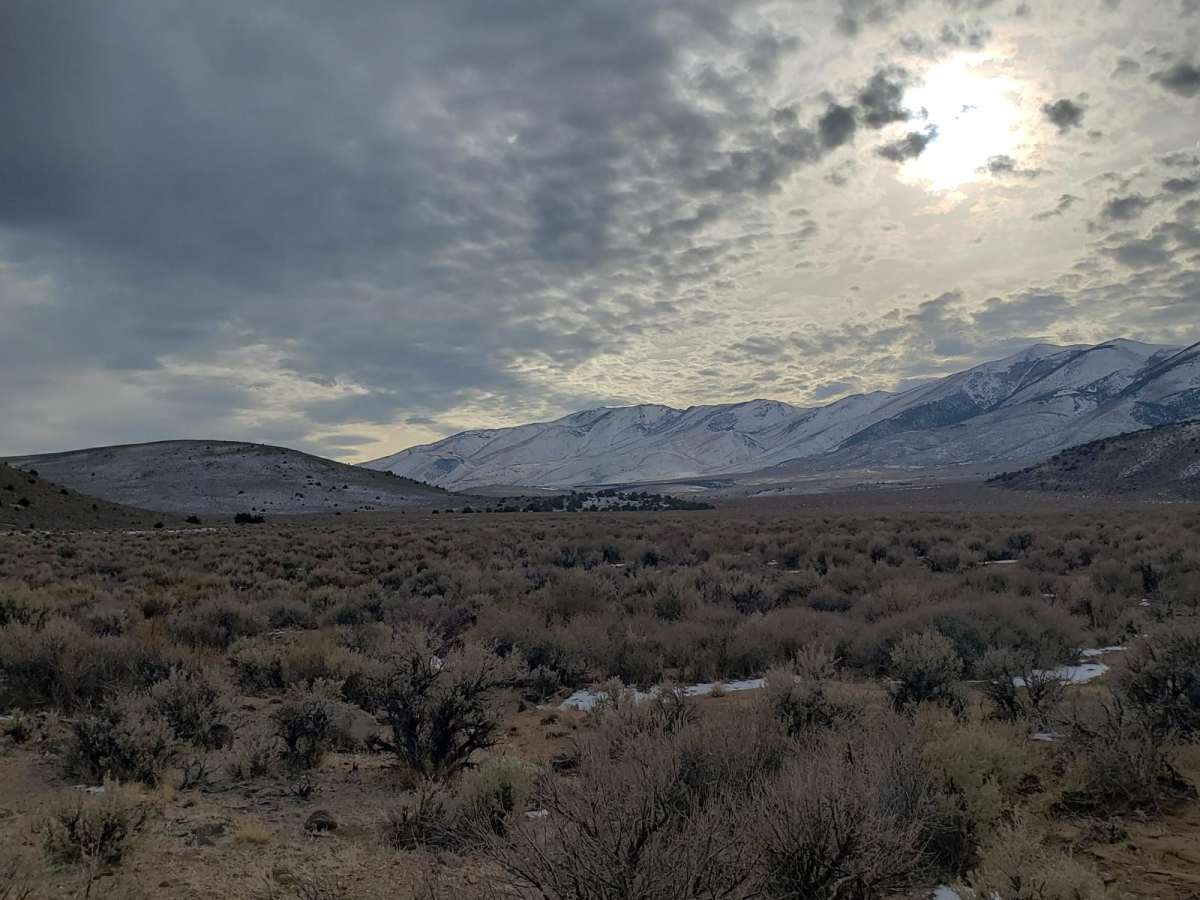
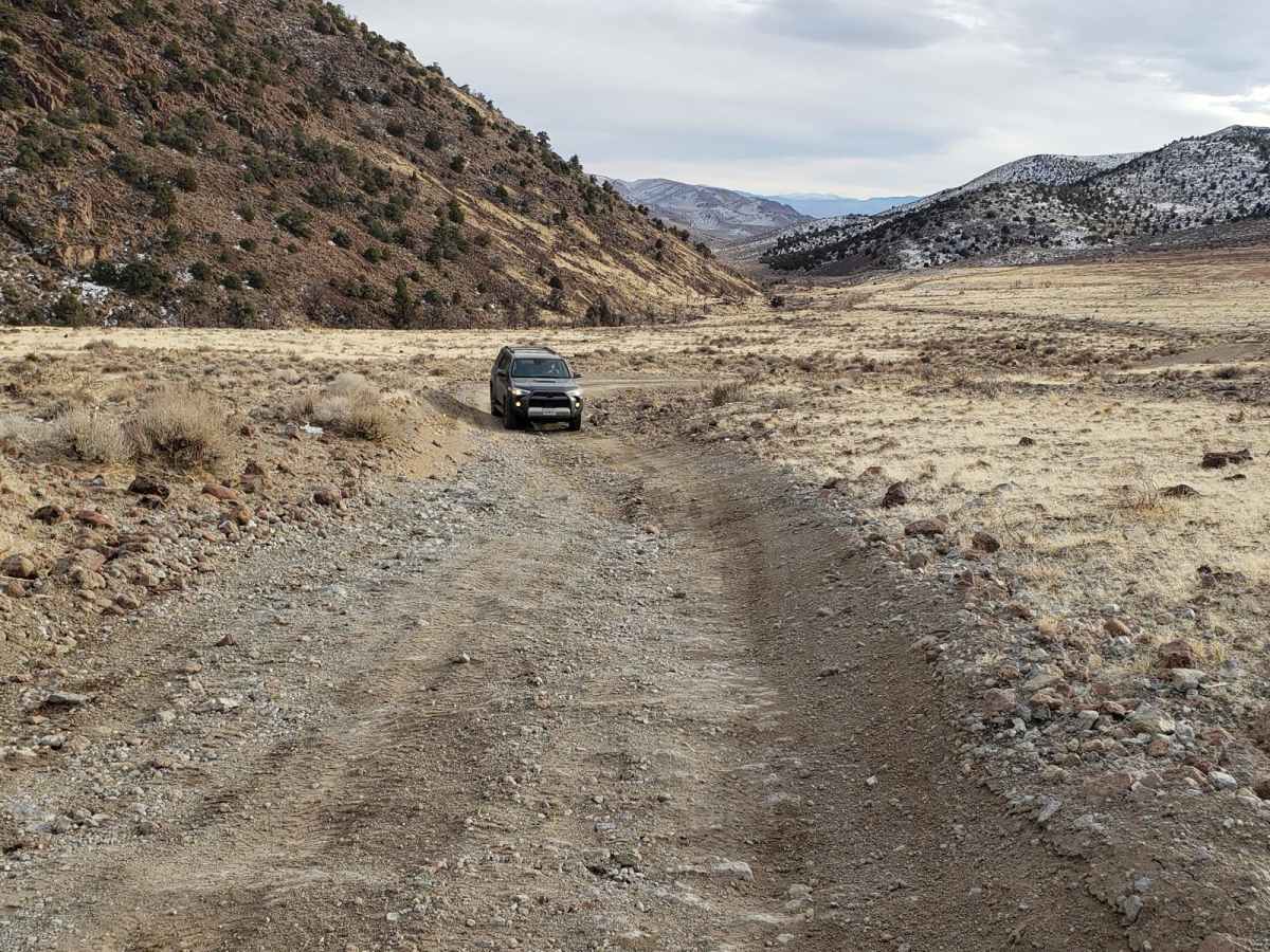
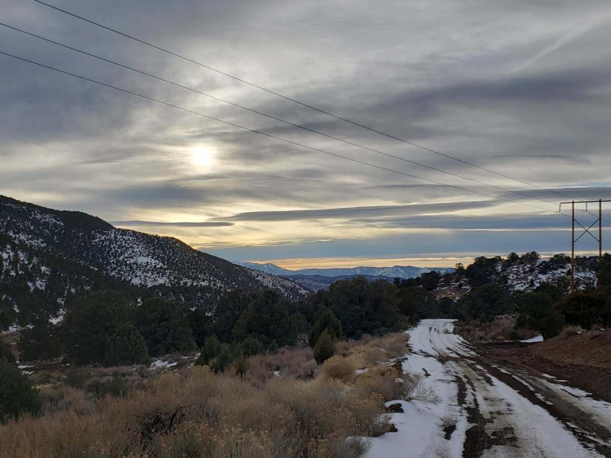
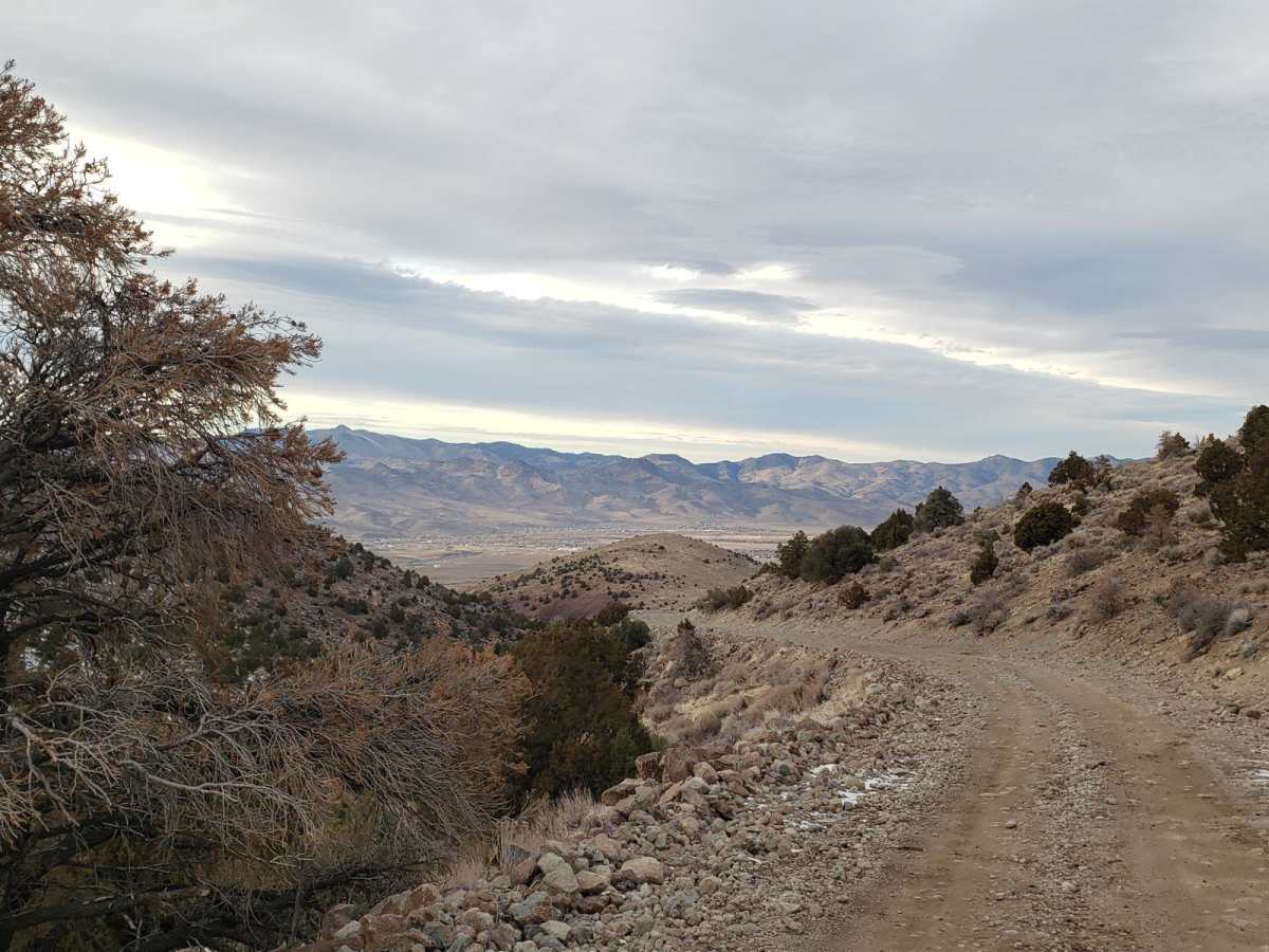
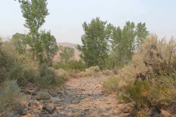
This road begins at Dayton, Nevada, and gradually rises in elevation from 4367'' to 7128' into the Pine Nut Mountains and is located on mostly BLM lands. The trail starts off over a flat alluvial plain and then climbs out of the wash into the mountains. Sage, Juniper, and Pine trees are abundant as you make your way into the mountains. At an elevation of 5,300,' the south end of this road connects to several other dirt roads located at the very north end of Smiths Valley. It is a very bumpy ride along most of this road which accommodates two-way traffic. This is a graded dirt road that is under-maintained and full of cobblestone sized rocks. During dry weather, the road can be driven by a 2WD, high-clearance SUV. During the winter season, 4WD with off-road snow-rated tires is advised. These hills get snow and in the spring the canyon washes may have water crossings. Intermittent to no cell service at this location. Food, gas, and lodging are available at the trailhead located in Dayton along HWY 50.

Photos of Old Como Road

Difficulty

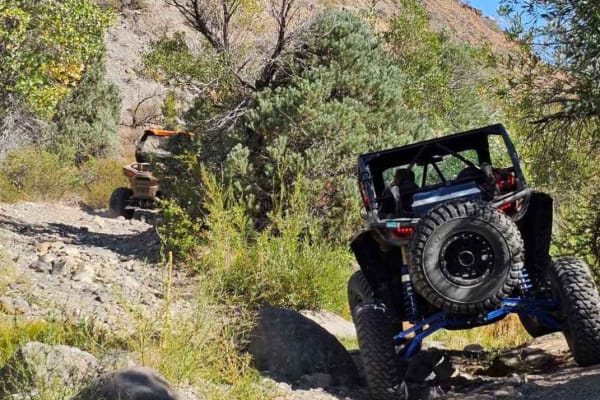
Dirt, sand and rocky road, unmaintained after rain or snow. Spring and winter shallow water crossings could be encountered. The road is wide and not cambered. A few tall stones and obstacles under 6" can be easily avoided. The road is not rutted and elevation changes are gradual with no ledges.

History

On December 30, 1879, Como's post office opened and operated until closing on January 3, 1881. A stone building and some gold mining equipment are still remaining. The small town boasted the Cross Hotel and published the Como Sentinel newspaper during its brief heyday.

Technical Rating

2

Status Reports

Add Status Report
M G
Jul 12, 2025
Open
This is a rough trail, but relatively easy. Air down & sway bar release recommend. Follow the trail then turn left on “Rawe trail” to head up to the peak with the towers. Fantastic views. One of our favorite places to pack a lunch too. Don’t miss the opportunity to check out the Como Mine. Trail time is about 3 hours round trip.
Danny Vaqueiro
Feb 22, 2025
Open
Mikro Kosmos.
Oct 26, 2024
Open
I’ve tried this before and didn’t like it because it’s so rocky. It’s still rocky. Maybe you can make it past that part. I dunno.
Dan Lawson
Sep 20, 2024
Open
easy with lifted 4x4 but so rocky. it feels and looks like you are driving up a rocky river bed with volleyball size rocks everywhere. worth the drive if you can handle the bumpy road
Jason Welsh
Jun 17, 2024
Open
Traveled north after turning left off of Sunrise Pass Road. The middle part of the trail is extremely rocky and slow going. The end of the trail is as well. High clearance 4x4 is definitely required. You should also have some pretty tough tires to avoid flats. Beginning of Sunrise Pass Road to the end of Old Como took about 4 hours.
Matt Beachy
Mar 27, 2024
Open
No real issues. Everything east of the Como town site is very rocky/rough. There are some massive washout at the top but they can be bypassed.
Hunter Lamphere
Dec 18, 2023
Open
Johnathan Domescik
Oct 09, 2023
Open
B Powell
Oct 07, 2023
Open
Dylan Lance
Jul 09, 2023
Open
Mike Sheehan
Jul 01, 2023
Open
Brian Snider
May 06, 2023
Open
John Heflin
May 06, 2023
Open

Old Como Road Trail can be accessed by the following ride types:

  • Single Track
  • 50 Inch
  • High Clearance
  • Full Width

Old Como Road Map

The onX Offroad Difference

onX Offroad combines trail photos, descriptions, difficulty ratings, width restrictions, seasonality, and more in a user-friendly interface. Available on all devices, with offline access and full compatibility with CarPlay and Android Auto. Discover what you're missing today!

Open Trail Map