Trail Overview
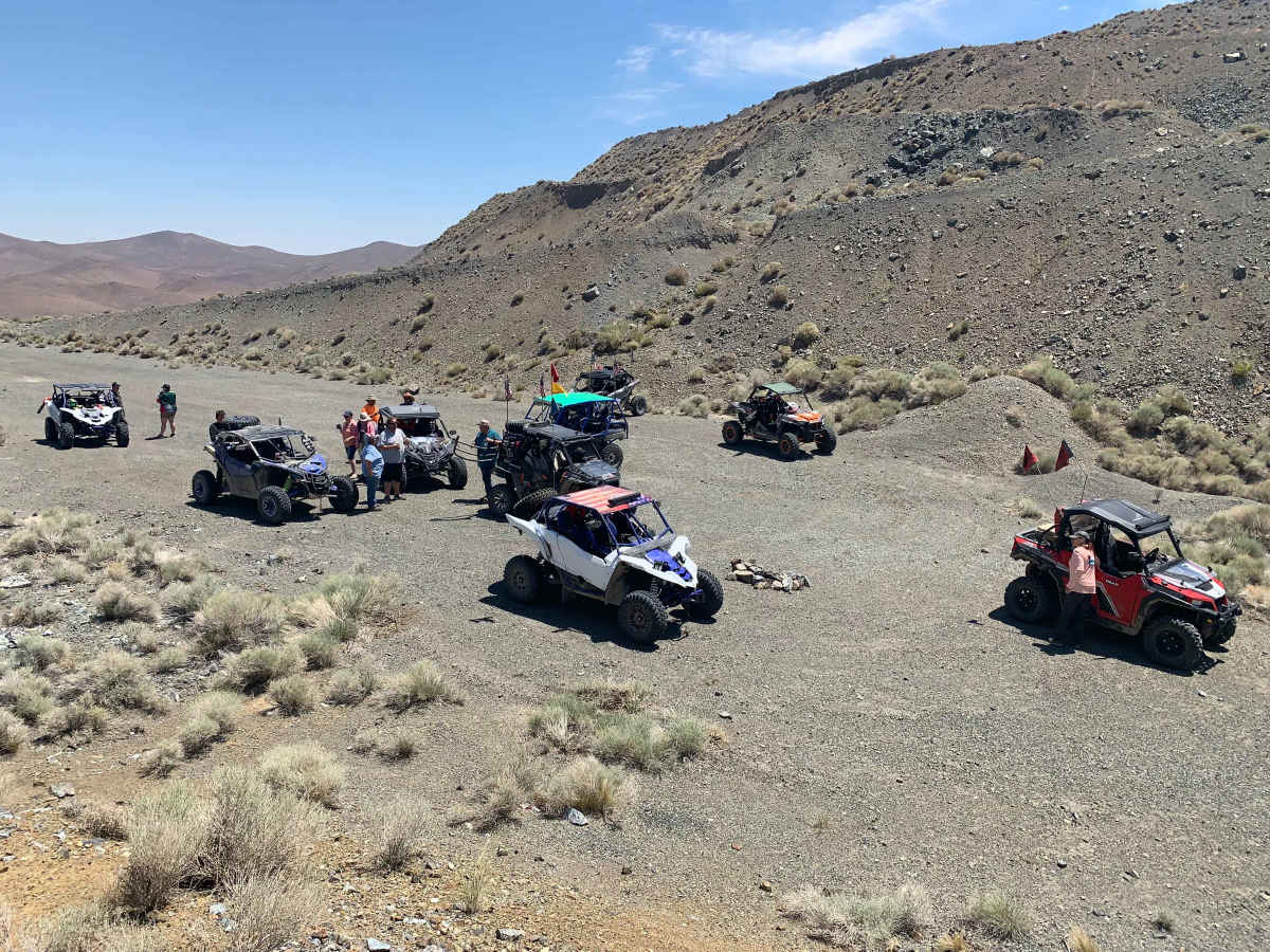
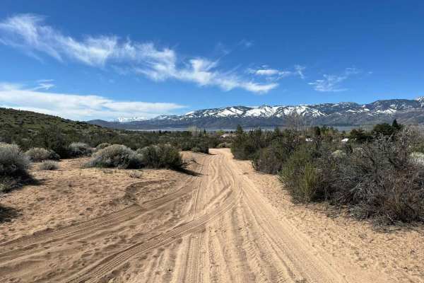
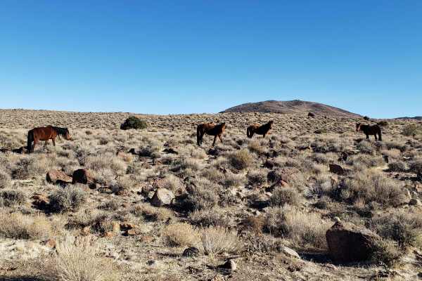
The Virginia City Loop is an exceptional offroad adventure designed for four-wheel-drive vehicles, SxSs, and dirt bikes looking to experience the rugged beauty and wild horse populations of the historic Virginia Range. Spanning approximately 46 miles, this moderate loop begins and ends near historic Virginia City, Nevada, offering a diverse mix of terrain that climbs from 4,445 feet up to 6,738 feet with over 7,580 feet of cumulative elevation change. Along the route, drivers will navigate a variety of surfaces including loose dirt, rocky climbs, sandy washes, and occasional mud or creek crossings depending on the season. The trail demands careful line selection and steady throttle control, particularly on the steeper sections where the maximum gradient reaches over 21 degrees.
As the route winds through the high desert landscape, travelers are treated to expansive vistas of the surrounding valleys and mountain peaks, with frequent opportunities to spot the famous wild horses that roam the range. Given the technical rating of 4, the track features persistent embedded rocks and uneven ruts, making high-clearance vehicles or capable offroad rigs highly recommended. It is best to start the journey directly from Virginia City, packing a lunch to enjoy at one of the scenic viewpoints along the trail before returning to town for dinner. Preparing for changing weather conditions and carrying plenty of water is essential when exploring this remote and scenic Nevada backcountry.
Access Description
The route traverses public lands primarily managed by the Bureau of Land Management (BLM). No entry fees or permits are required to drive the loop, but all off-highway vehicles (OHVs) must display a valid Nevada OHV registration decal or a recognized out-of-state registration. Visitors should respect private property boundaries along the historic mining claims and stay on designated routes.


 Offroad