Rawe Peak East Trail

Total Miles2.8
Technical Rating
2Easy
Best TimeSpring, Summer, Fall
Trail TypeFull-Width Road
Accessible By
Open Trail Map

Trail Overview

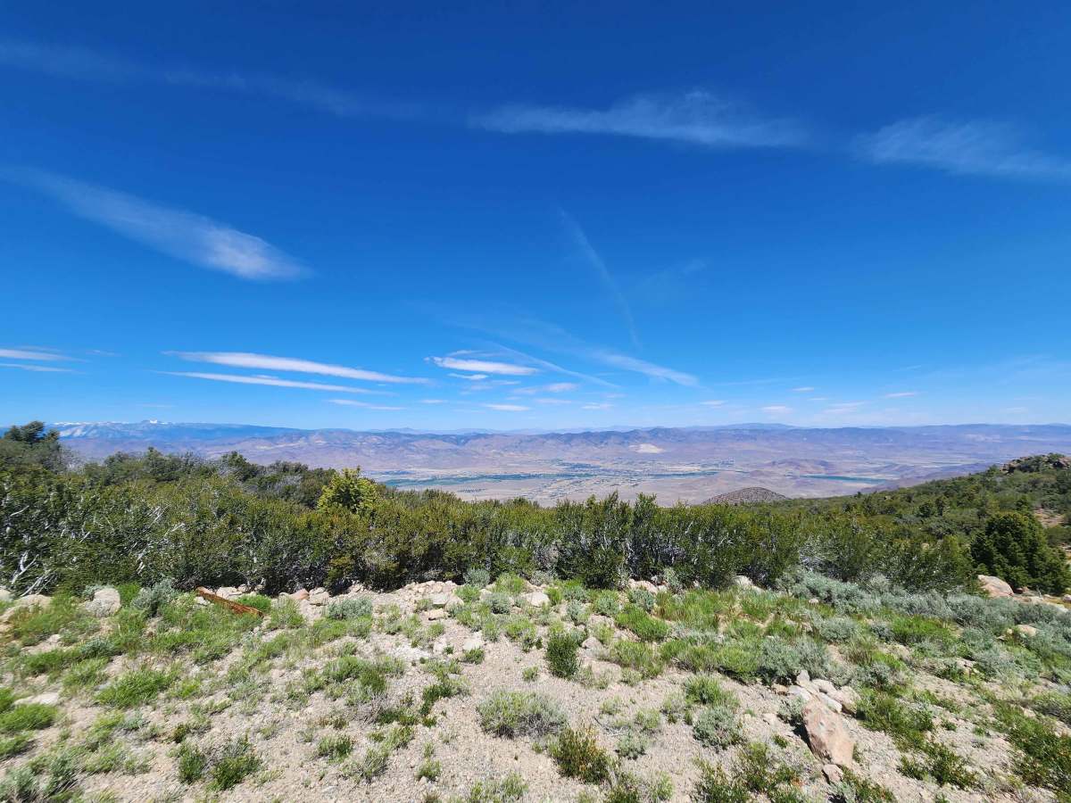
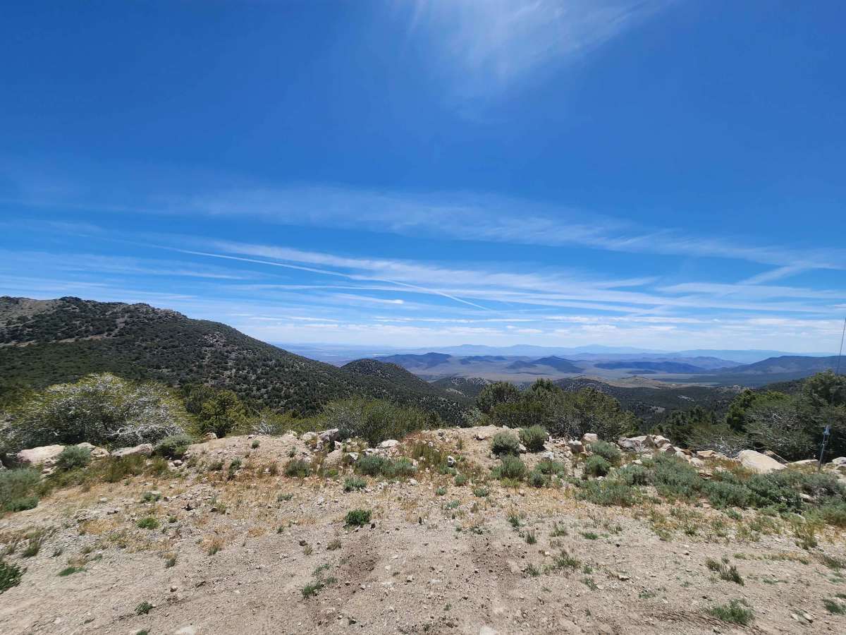
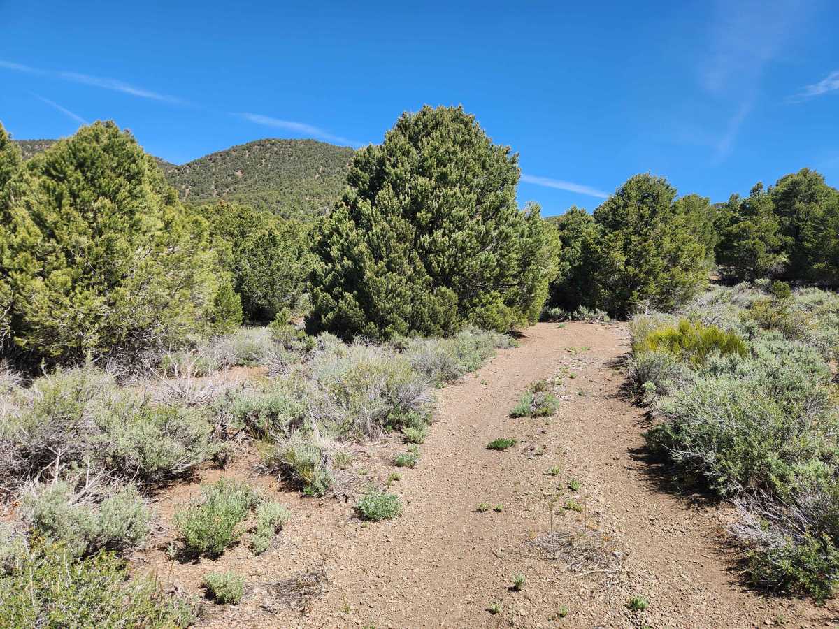
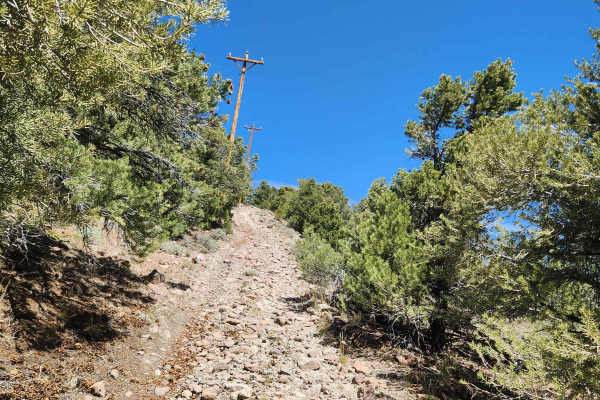
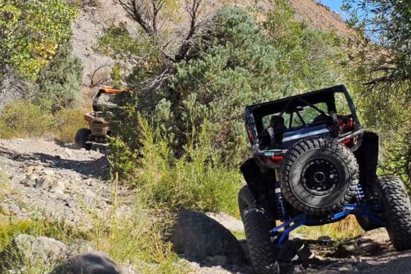
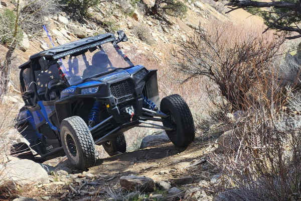
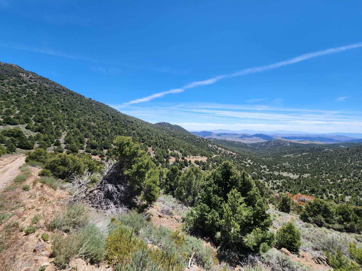
This trail leads to the top of Rawe Peak and is the eastern half of a loop which is accessed from Old Como Road. An easy ride from Old Como Road to the top with no significant obstacles, just an occasional puddle and some erosion ruts. The trail is wide enough that oncoming traffic is not a concern. The view from the top is outstanding. The view includes the Sierra Front, the Buckskin and Singatsee Ranges, the Pinenut Mountains, and twelve miles away, Virginia City. When you leave you can complete the loop and take the Western trail back to Old Como Road, but be advised, that is a much more challenging trail.

Photos of Rawe Peak East Trail

Difficulty

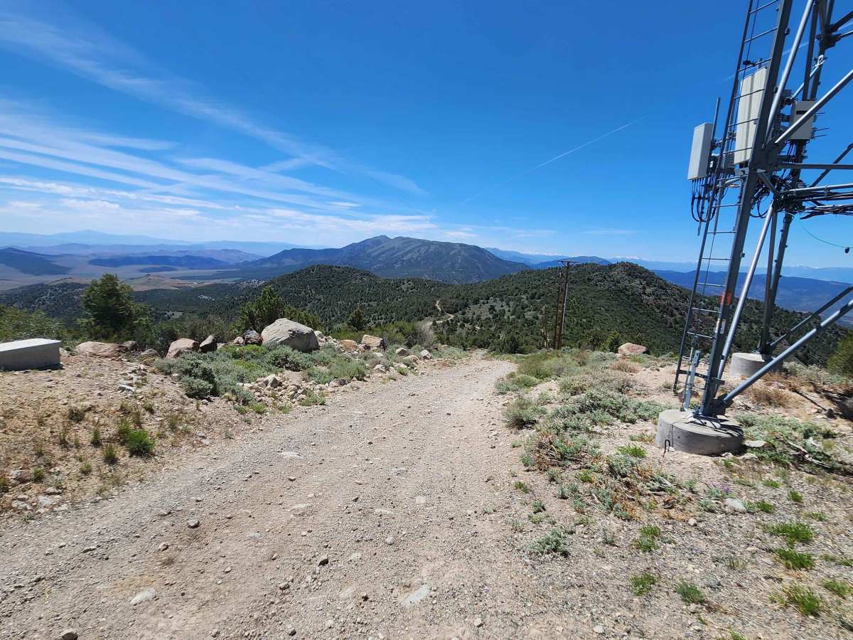
This is an access road for the communication equipment at the summit of Rawe Peak. As such, it is an easy dirt road mildly affected by winter erosion.

Technical Rating

2

Rawe Peak East Trail Trail can be accessed by the following ride types:

  • 50 Inch
  • 60 Inch
  • High Clearance
  • Full Width

Rawe Peak East Trail Map

The onX Offroad Difference

onX Offroad combines trail photos, descriptions, difficulty ratings, width restrictions, seasonality, and more in a user-friendly interface. Available on all devices, with offline access and full compatibility with CarPlay and Android Auto. Discover what you're missing today!

Open Trail Map