
Dirt Bike Trails
Near West Sedona, Arizona
Explore All Dirt Bike Trails Near West Sedona, Arizona
Dirt Bike Trails Near West Sedona, Arizona
Discover the best dirt bike trails near you. Browse trail maps, check difficulty ratings, and find your next adventure — whether you're looking for a quick ride or an all-day expedition.
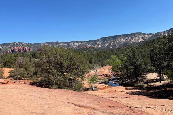
Road to Devil's Bridge & Van Deren Cabin
This OHV trail comes in right at 2.5 miles long and is a very rough and rocky road. The beginning of this trail starts when Dry Creek Road turns to dirt. You are met with a line of rocks which serves as a gatekeeper to deter lower-clearance vehicles from passing. If your vehicle scrapes or bumps thi...
Learn more about Road to Devil's Bridge & Van Deren Cabin
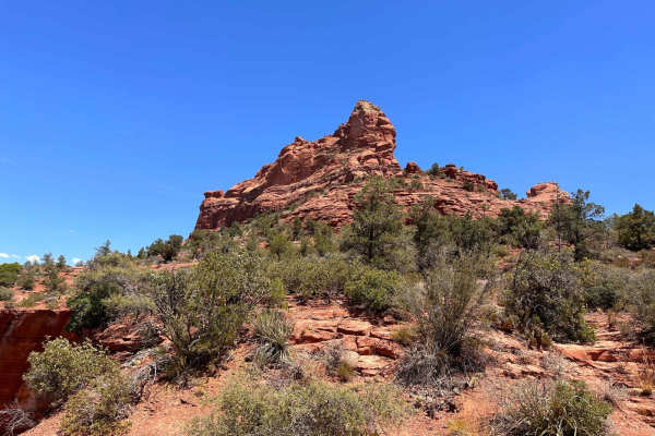
Tea Cup
This is a short trail that hangs off of Soldiers Pass but is no less difficult. This trail is filled with narrow sections and slickrock, making it an even more challenging trail more so in the snow or rain. To view the Devil's Sinkhole, you can either hike up to it or risk rolling by traversing the ...
Learn more about Tea Cup
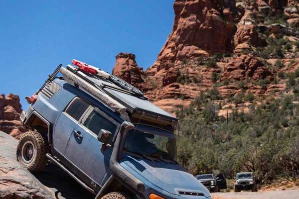
Broken Arrow
Broken Arrow is Sedona's quintessential off-road trail, offering unbeatable slick rock obstacles nestled among the towering red walls of the surrounding landscape. Many would argue this trail offers the best views in Sedona, which makes it popular for all types, including hikers, mountain bikers, an...
Learn more about Broken Arrow
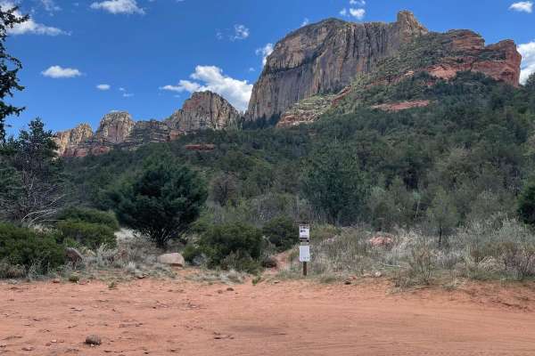
North Dry Creek Road to Vultee
It's hard to find isolation in Sedona. The end of this trail offers just that. The beginning of this trail starts at the turn-off to Van Deren Cabin and continues north. This trail is rough and rocky most of the way with some sandy sections at the end. There are several rock ledges to crawl down and...
Learn more about North Dry Creek Road to Vultee
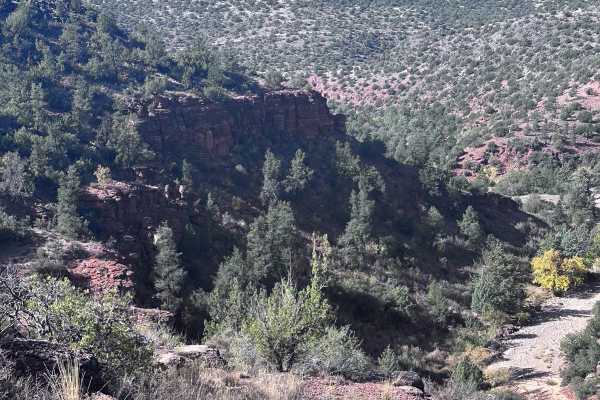
Cliffhanger Trail
This point-to-point trail takes you from Red Rock Loop Road to Highway 89A. If you veer south halfway down the trail, you'll reach the trailhead for the Oak Creek Trail. This is a short 0.5-mile hike down to Oak Creek and the ruins of an old stone cabin homestead. There is one short section that giv...
Learn more about Cliffhanger Trail
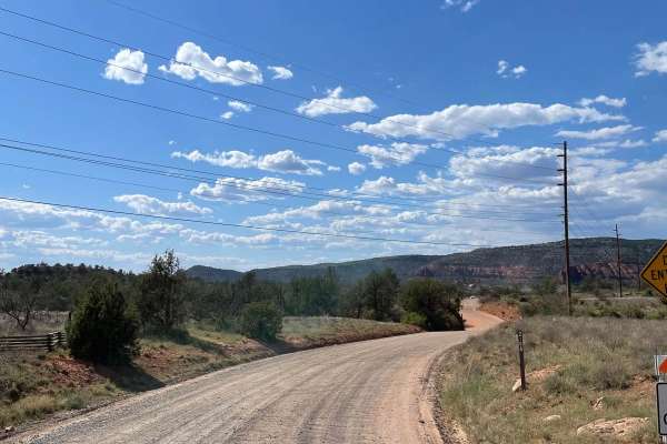
Alternative Access to Cathedral Rock
This short, maintained gravel road leads to the back side of the iconic Cathedral Rock. Along this road is Baldwin Trailhead. This hiking trailhead provides access to hiking trails to the most popular destination in Sedona, Cathedral Rock. The road ends at a turnaround that doesn't allow parking, bu...
Learn more about Alternative Access to Cathedral Rock
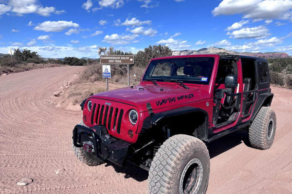
Diamondback Gulch (Greasy Spoon)
This 6.1-mile point-to-point trail takes you past the Greasy Spoon tank and through Diamondback Gulch. Most of the trail is easy with small rocks and washed-out areas. Once you pass the old coral at Greasy Spoon Tank, the trail becomes more difficult with steep rocky hills. The longest and steepest ...
Learn more about Diamondback Gulch (Greasy Spoon)
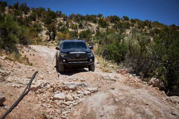
Ledge Pipe Climb
The Ledge Pipe Climb Trail is intense either way you run it. With large campsites at each end, this area is a popular spot for offroad enthusiasts. From the South end, you'll bob and weave through the creosote and underbrush toward the most itimidating obstacles on the trail - a series of uphill cli...
Learn more about Ledge Pipe Climb
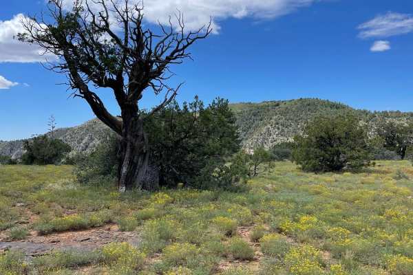
Committee Tank Trail
Committee Tank Trail stretches just over one mile long and is a portion of FS 9494F. The surface of this trail alternates between dirt and rocks. The trail is relatively flat and takes you past Committee Tank which will be on your right. After passing this tank, the trail becomes much more rocky as ...
Learn more about Committee Tank Trail
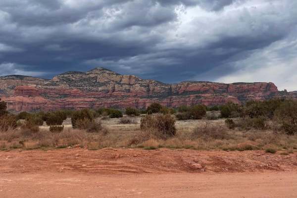
Boynton Canyon Road
This very short trail is maintained and has lots of OHV activity coming and going. There are very nice views of Bear Mountain to the north while traveling on this road. This trail provides access to the north entrance of the Greasy Spoon Trail. There is also a parking area for OHV unloading and load...
Learn more about Boynton Canyon Road
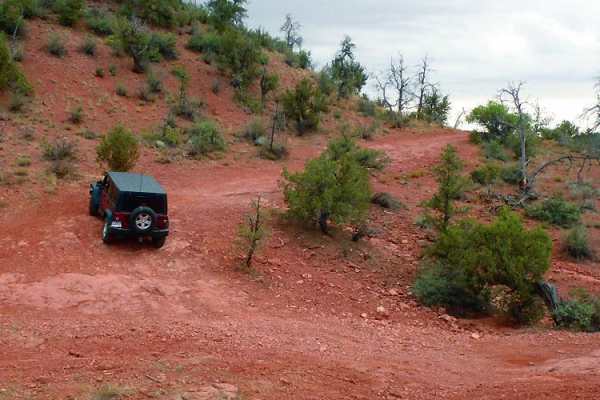
Outlaw Trail
This backcountry loop provides impressive red rock formations as well as some cool Native American cliff dwellings. There are some camping spots along the way if you want to take a few days to explore the area. Take advantage of the unique side roads that allow unlicensed vehicles.
Learn more about Outlaw Trail
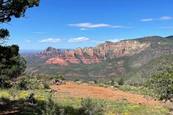
Schnebly Terraces Trail
Schnebly Terraces Trail is a portion of Forest Road 153A and connects with Schnebly Hill Trail and Rock Garden Loop which are both guided trails. The Southern part of this trail is mainly a semi-rough dirt trail with the potential for several mud holes. As you travel North, this trail becomes more t...
Learn more about Schnebly Terraces Trail
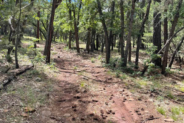
Scrub Oak Bypass
This short trail connects Forest Road 9495F with Forest Road 9494F. The majority of this trail is dirt with a small rock garden as you start to traverse up a small hill climb. At the end of this small climb, is a small section of loose rocks all over the trail's surface. This short trail takes you t...
Learn more about Scrub Oak Bypass
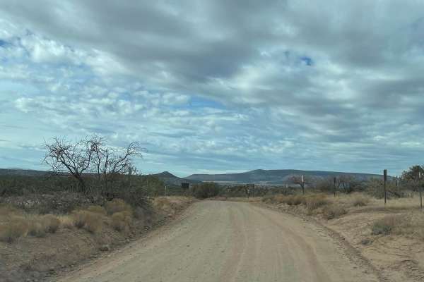
Sycamore Pass Road
This trail starts as a maintained road which turns to unmaintained as you get farther up the trail. The total distance of this trail is 8.5 miles, taking you from the start of FS Road 525C to the top of Sycamore Pass, which is the end of FS Road 525C. The last mile to Sycamore Pass becomes a little ...
Learn more about Sycamore Pass Road
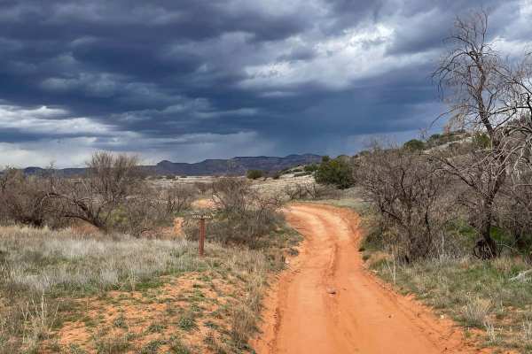
Ranch Loop OHV
This OHV trail clocks in right at 8 miles long and provides beautiful views of Sedona on the north end. This is a very popular trail and you are almost guaranteed to see others driving/riding. The route has many different surfaces, ranging from dirt, sand, rock, and gravel. The sandy areas are not d...
Learn more about Ranch Loop OHV
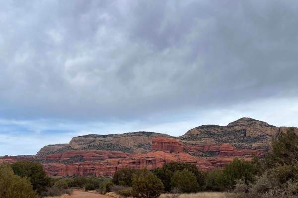
525 to 795 Palatki Heritage Site
This well-maintained road takes you through the Red Rock District of the Coconino National Forest. Starting on FS Road 525, it turns onto FS Road 795 which leads you to the Palatki Heritage Site. This historical site has ancient ruins and well-preserved petroglyphs. Most 2WD vehicles can travel this...
Learn more about 525 to 795 Palatki Heritage Site
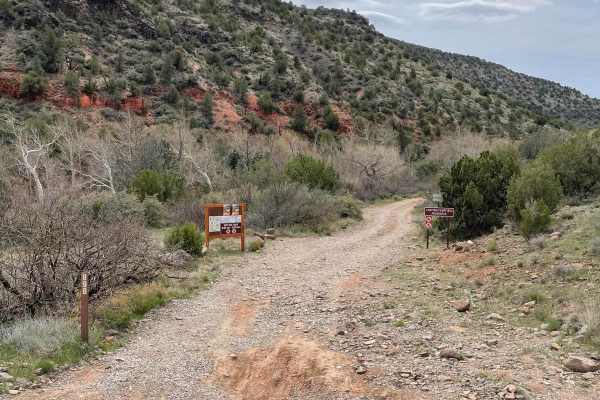
Lower Oak Creek Access #3
This trail is mostly a maintained dirt road except for the last part that hugs Oak Creek. There are several designated camping sites along this trail. The trail becomes covered with river rock once you start traveling next to Oak Creek. There are several places to pull over when you are next to Oak ...
Learn more about Lower Oak Creek Access #3
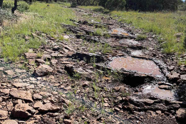
Rock Garden Loop
Rock Garden Loop is just under 5 miles long and traverses around Schnebly Hill. This loop consists of four different forest roads which are FS 801, FS 9495F, FS 9494F, and FS 153A. The Western part of this loop holds more of the large and consistent rock gardens. There are countless rocks with scrap...
Learn more about Rock Garden Loop
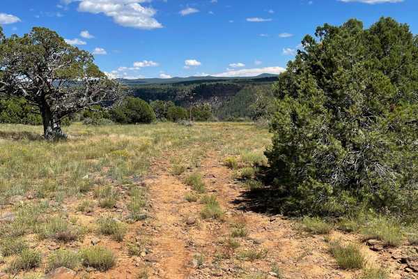
FS 9496F
Forest Service Road 9496F is a rocky dirt trail that intersects with Rock Garden Loop guided trail. As you start this trail, you will see Oak Tank to your right. The trail starts off as a dirt trail then quickly turns rocky. The main obstacle is a short, steep, and rocky downhill drop. This obstacle...
Learn more about FS 9496F
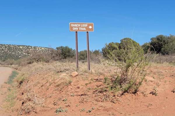
Ranch Loop OHV
This OHV trail clocks in right at 8 miles long and provides beautiful views of Sedona on the north end. This is a very popular trail and you are almost guaranteed to see others driving/riding. The route has many different surfaces, ranging from dirt, sand, rock, and gravel. The sandy areas are not d...
Learn more about Ranch Loop OHV
ATV trails near West Sedona, Arizona
Explore ATV-friendly trails near you. These trails are accessible for vehicles up to 50 inches wide, perfect for ATVs and smaller off-road machines.
Road to Devil's Bridge & Van Deren Cabin
This OHV trail comes in right at 2.5 miles long and is a very rough and rocky road. The beginning of this trail starts when Dry Creek Road turns to dirt. You are met with a line of rocks which serves as a gatekeeper to deter lower-clearance vehicles from passing. If your vehicle scrapes or bumps thi...
Learn more about Road to Devil's Bridge & Van Deren Cabin
Tea Cup
This is a short trail that hangs off of Soldiers Pass but is no less difficult. This trail is filled with narrow sections and slickrock, making it an even more challenging trail more so in the snow or rain. To view the Devil's Sinkhole, you can either hike up to it or risk rolling by traversing the ...
Learn more about Tea Cup
Broken Arrow
Broken Arrow is Sedona's quintessential off-road trail, offering unbeatable slick rock obstacles nestled among the towering red walls of the surrounding landscape. Many would argue this trail offers the best views in Sedona, which makes it popular for all types, including hikers, mountain bikers, an...
Learn more about Broken Arrow
North Dry Creek Road to Vultee
It's hard to find isolation in Sedona. The end of this trail offers just that. The beginning of this trail starts at the turn-off to Van Deren Cabin and continues north. This trail is rough and rocky most of the way with some sandy sections at the end. There are several rock ledges to crawl down and...
Learn more about North Dry Creek Road to Vultee
UTV/side-by-side trails near West Sedona, Arizona
Find UTV and side-by-side trails near you. These trails accommodate vehicles up to 60 inches wide, ideal for UTVs, side-by-sides, and wider off-road rigs.
Road to Devil's Bridge & Van Deren Cabin
This OHV trail comes in right at 2.5 miles long and is a very rough and rocky road. The beginning of this trail starts when Dry Creek Road turns to dirt. You are met with a line of rocks which serves as a gatekeeper to deter lower-clearance vehicles from passing. If your vehicle scrapes or bumps thi...
Learn more about Road to Devil's Bridge & Van Deren Cabin
Tea Cup
This is a short trail that hangs off of Soldiers Pass but is no less difficult. This trail is filled with narrow sections and slickrock, making it an even more challenging trail more so in the snow or rain. To view the Devil's Sinkhole, you can either hike up to it or risk rolling by traversing the ...
Learn more about Tea Cup
Broken Arrow
Broken Arrow is Sedona's quintessential off-road trail, offering unbeatable slick rock obstacles nestled among the towering red walls of the surrounding landscape. Many would argue this trail offers the best views in Sedona, which makes it popular for all types, including hikers, mountain bikers, an...
Learn more about Broken Arrow
North Dry Creek Road to Vultee
It's hard to find isolation in Sedona. The end of this trail offers just that. The beginning of this trail starts at the turn-off to Van Deren Cabin and continues north. This trail is rough and rocky most of the way with some sandy sections at the end. There are several rock ledges to crawl down and...
Learn more about North Dry Creek Road to Vultee
The onX Offroad Difference
onX Offroad combines trail photos, descriptions, difficulty ratings, width restrictions, seasonality, and more in a user-friendly interface. Available on all devices, with offline access and full compatibility with CarPlay and Android Auto. Discover what you're missing today!
Open Trail Map