
Dirt Bike Trails
Near Vale, Oregon
Explore All Dirt Bike Trails Near Vale, Oregon
Dirt Bike Trails Near Vale, Oregon
Discover the best dirt bike trails near you. Browse trail maps, check difficulty ratings, and find your next adventure — whether you're looking for a quick ride or an all-day expedition.
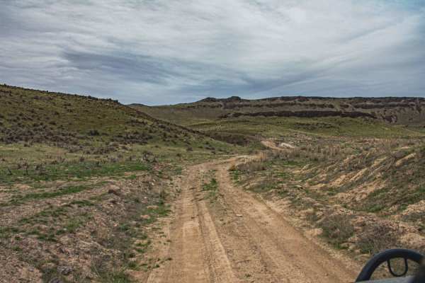
Snively Gultch
This trail is simple, but a few sections make it very difficult. Depending on the direction you take will depend on the difficulty. If you start off of Owyhee Lake Road, this is where the most difficult part of the road is. You will be greeted by a rushing river, and water levels change with the sea...
Learn more about Snively Gultch
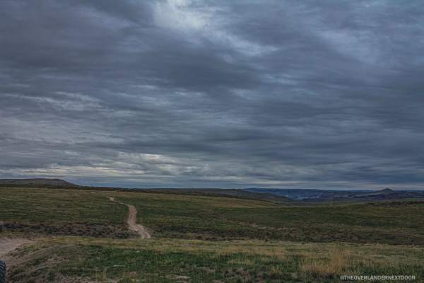
Rock Valley Lookout Road
Do you like a muddy road with beautiful views? This road is for you! This trail is very easy and also very short but offers a great spot to camp for a few nights. There is cellphone service available, and you can get some amazing views of the city lights at night.
Learn more about Rock Valley Lookout Road
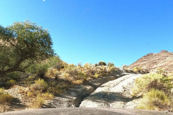
Owyhee Oxbow Basin
Owyhee Oxbow Basin is a rugged, 3.6-mile trail suited for remote adventurers seeking stunning canyon views and challenging backcountry terrain. This rocky and rutted dirt road climbs steeply from the Owyhee River into Oxbow Basin, gaining approximately 1,211 feet of elevation with a maximum gradient...
Learn more about Owyhee Oxbow Basin

Oxbow Basin Road
This rugged, 8-mile dirt road northwest of the Owyhee Reservoir passes through Oxbow Basin. This is part of a long and very remote route that accesses the backcountry and numerous Wilderness Study Areas along the west side of the Owyhee Reservoir and Owyhee Canyonlands. There is very little traffic ...
Learn more about Oxbow Basin Road
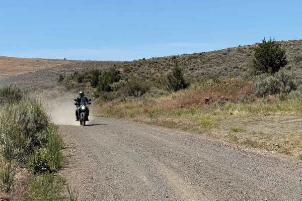
Bonita Road
This 30-mile Westfall loop is a scenic adventure ride through the remote backcountry west of Westfall, Oregon, winding across a mix of fast gravel roads, two-track, and rugged ranch and forest terrain. The route climbs and descends through rolling hills with expansive views of the surrounding high d...
Learn more about Bonita Road
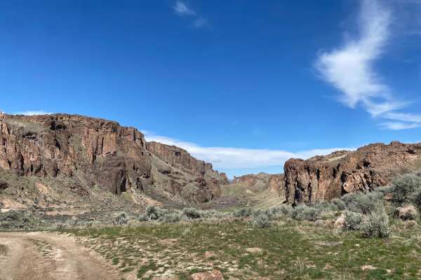
Succor Creek Road
Succor Creek Road is a fairly easy dirt road that passes through Succor Creek State Nature Area in Eastern Oregon. The route can be run either north or south depending on where you want to start and finish. You can start just outside of the town of Homedale, Idaho, off Highway 201 or Highway 95. The...
Learn more about Succor Creek Road
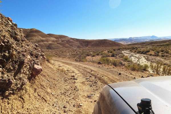
Dry Creek Road
Dry Creek Road is an ideal route for remote overland enthusiasts and dual-sport riders seeking a scenic, solitary drive along the dramatic, volcanic canyons of eastern Oregon's Owyhee Country. Stretching approximately 24 miles along the western side of the Owyhee Reservoir, this easy dirt road provi...
Learn more about Dry Creek Road
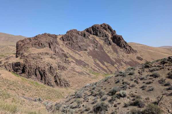
Camp Kettle Creek Road Trail
Camp Kettle Creek Road Trail is a moderately challenging route that traverses a bumpy, off-camber dirt road scattered with embedded rocks and rugged terrain. The trail features one notable steep ascent, requiring careful throttle control and good traction--especially if the surface is loose or dusty...
Learn more about Camp Kettle Creek Road Trail
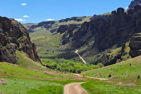
Graveyard - Succor Creek Road
The journey of this trail starts near Graveyard Point and winds down to the Succor Creek camping area. It offers a diverse terrain with small obstacles, making it exciting for beginners in off-roading. It's a dirt trail with quite a few rutted sections that aren't too deep. However, a 4x4 is require...
Learn more about Graveyard - Succor Creek Road
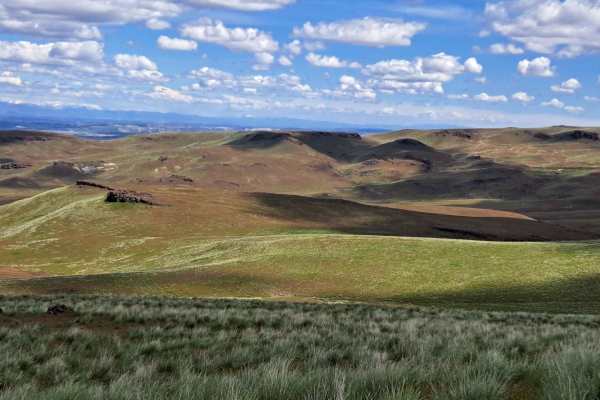
Graveyard Rim Trail
The Graveyard Point Rim area is a great option for those who want a relatively easy and accessible trail without any obstacles. Any 4x4 or AWD with little clearance will be able to complete the trail without any issues. There are a few rutted areas that are minor and not deep. A few minutes in, the...
Learn more about Graveyard Rim Trail
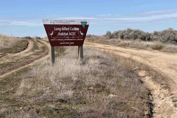
South Curlew Connector
The Curlew Connector starts at the Canyon County entrance to the BLM Long-billed Curlew Habitat Area, leading 1.2 miles north into Gem County and continuing for another 1.8 miles until it connects into BLM #2333. This clearly established, winding road is perfect for beginners in any of the off-road ...
Learn more about South Curlew Connector
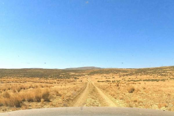
Dry Buttes Reservoir
The Dry Buttes Reservoir trail is a remote out-and-back spur designed for intermediate offroaders looking to explore the wild and desolate backcountry of the Owyhee Canyonlands. Spanning approximately 3.2 miles, this rough dirt road climbs into the Dry Buttes Wilderness Study Area (WSA) and terminat...
Learn more about Dry Buttes Reservoir
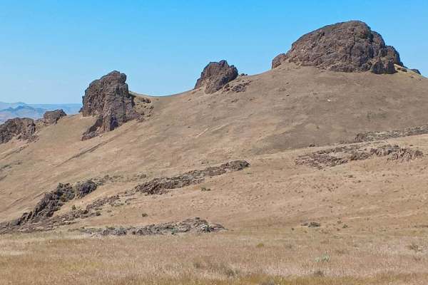
Three Fingers Viewpoint Trail
Three Fingers Viewpoint Trail is a short but rugged climb that rewards with 360-degree panoramic views and a close-up of the dramatic Three Fingers rock formation. The trail begins with a very steep and rocky ascent, where 4-Low is highly recommended for control and traction. After the initial steep...
Learn more about Three Fingers Viewpoint Trail
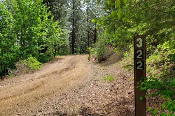
FR 322 - Wolf/Monroe Creek
Passing through a (seasonal) gate at the entrance, this trail begins as a progressive climb up the hill. The puddles are certainly present after wet conditions. There are erosion ruts to navigate as well. There are plenty of offshoot trails to explore, especially towards the top. The trail eventuall...
Learn more about FR 322 - Wolf/Monroe Creek
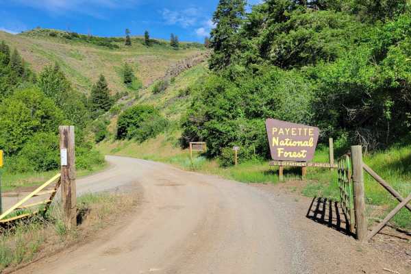
FR 09 - Mann Creek
This is the first section of FR 09. It's an easy and maintained dirt road as it leads to several established campgrounds. There are a handful of offshoot trails to take, as well as a hiking trailhead or two. If looking for primitive campsites, continue up the trail and you'll find quite a few. The M...
Learn more about FR 09 - Mann Creek
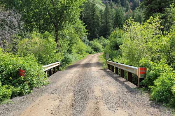
FR 025 - Adams Creek
Adams Creek Trail in the Payette National Forest is a picturesque mountain trail that is half of a scenic loop. It's an easy gradual ascent/descent dirt road with scattered primitive campsites along the way. Easy enough for observed large fifth-wheel camper trailers to reach the summit. At the top, ...
Learn more about FR 025 - Adams Creek
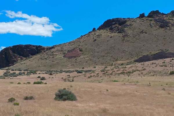
Three Fingers Loop West
Three Fingers Loop West is a rugged, high-desert route that winds through stunning rock formations and mountain vistas in every direction. This trail delivers big on views and challenge, traveling through terrain lined with sagebrush and rabbitbrush as it climbs, dips, and weaves across uneven, off-...
Learn more about Three Fingers Loop West
Three Fingers Gulch Trail
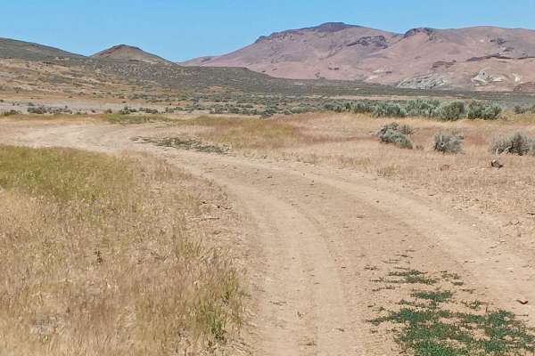
Three Fingers Gulch Trail is a rugged and scenic desert route that winds through a remote valley filled with rabbitbrush and sage, offering a fun, technical drive with panoramic views of the iconic Three Fingers formation and the dramatic Moon Rocks area. The dirt road is rough and bumpy, with numer...
Learn more about Three Fingers Gulch Trail
Old Highway Rd Loop
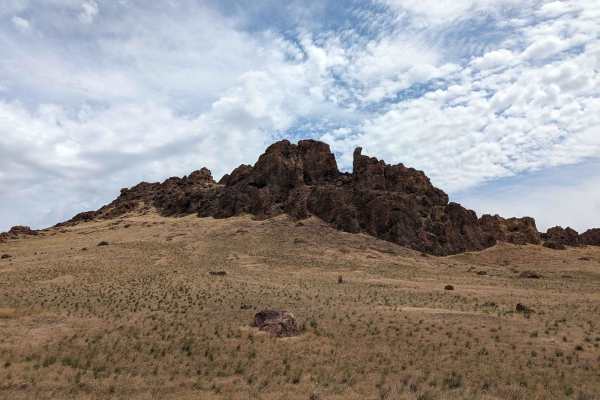
This loop starts from the highway onto the old highway grade. The trail travels past recreational shooting sites and then ascends to a great view of the surrounding area with several campsites. This loop starts out as a graded road and the most challenging part of it is the hill climb to the view po...
Learn more about Old Highway Rd Loop
FR 573 - Hitt Creek
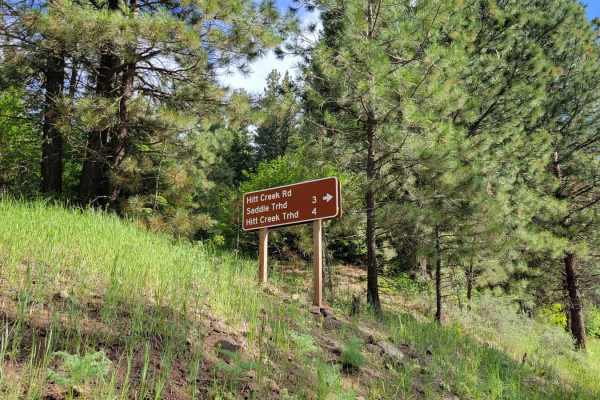
This offshoot trail from FR 09 leads to a couple of trailheads - Hitt Creek Trailhead and Keithy Saddle Trailhead. Hitt Creek Trailhead (Trail No. 276) is accessible to bikes and ATVs and is an alternative route to the Sturgil Lookout Tower. If continuing up the trail, unfortunately, there isn't a g...
Learn more about FR 573 - Hitt Creek
ATV trails near Vale, Oregon
Explore ATV-friendly trails near you. These trails are accessible for vehicles up to 50 inches wide, perfect for ATVs and smaller off-road machines.
Snively Gultch
This trail is simple, but a few sections make it very difficult. Depending on the direction you take will depend on the difficulty. If you start off of Owyhee Lake Road, this is where the most difficult part of the road is. You will be greeted by a rushing river, and water levels change with the sea...
Learn more about Snively Gultch
Rock Valley Lookout Road
Do you like a muddy road with beautiful views? This road is for you! This trail is very easy and also very short but offers a great spot to camp for a few nights. There is cellphone service available, and you can get some amazing views of the city lights at night.
Learn more about Rock Valley Lookout Road
Owyhee Oxbow Basin
Owyhee Oxbow Basin is a rugged, 3.6-mile trail suited for remote adventurers seeking stunning canyon views and challenging backcountry terrain. This rocky and rutted dirt road climbs steeply from the Owyhee River into Oxbow Basin, gaining approximately 1,211 feet of elevation with a maximum gradient...
Learn more about Owyhee Oxbow Basin
Oxbow Basin Road
This rugged, 8-mile dirt road northwest of the Owyhee Reservoir passes through Oxbow Basin. This is part of a long and very remote route that accesses the backcountry and numerous Wilderness Study Areas along the west side of the Owyhee Reservoir and Owyhee Canyonlands. There is very little traffic ...
Learn more about Oxbow Basin Road
UTV/side-by-side trails near Vale, Oregon
Find UTV and side-by-side trails near you. These trails accommodate vehicles up to 60 inches wide, ideal for UTVs, side-by-sides, and wider off-road rigs.
Snively Gultch
This trail is simple, but a few sections make it very difficult. Depending on the direction you take will depend on the difficulty. If you start off of Owyhee Lake Road, this is where the most difficult part of the road is. You will be greeted by a rushing river, and water levels change with the sea...
Learn more about Snively Gultch
Rock Valley Lookout Road
Do you like a muddy road with beautiful views? This road is for you! This trail is very easy and also very short but offers a great spot to camp for a few nights. There is cellphone service available, and you can get some amazing views of the city lights at night.
Learn more about Rock Valley Lookout Road
Owyhee Oxbow Basin
Owyhee Oxbow Basin is a rugged, 3.6-mile trail suited for remote adventurers seeking stunning canyon views and challenging backcountry terrain. This rocky and rutted dirt road climbs steeply from the Owyhee River into Oxbow Basin, gaining approximately 1,211 feet of elevation with a maximum gradient...
Learn more about Owyhee Oxbow Basin
Oxbow Basin Road
This rugged, 8-mile dirt road northwest of the Owyhee Reservoir passes through Oxbow Basin. This is part of a long and very remote route that accesses the backcountry and numerous Wilderness Study Areas along the west side of the Owyhee Reservoir and Owyhee Canyonlands. There is very little traffic ...
Learn more about Oxbow Basin Road
The onX Offroad Difference
onX Offroad combines trail photos, descriptions, difficulty ratings, width restrictions, seasonality, and more in a user-friendly interface. Available on all devices, with offline access and full compatibility with CarPlay and Android Auto. Discover what you're missing today!
Open Trail Map