Trail Overview
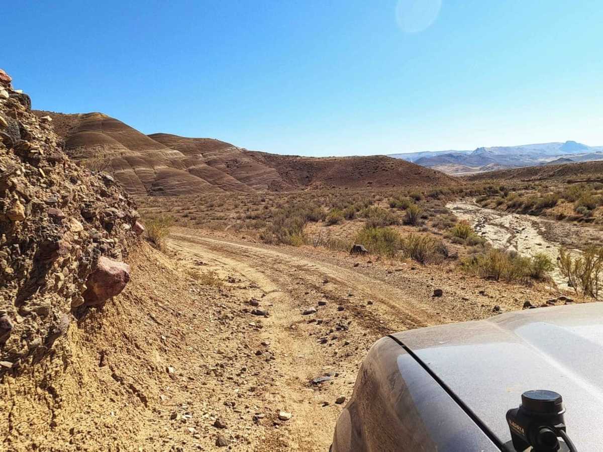
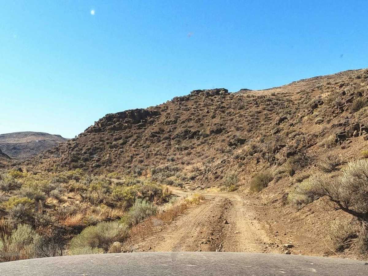
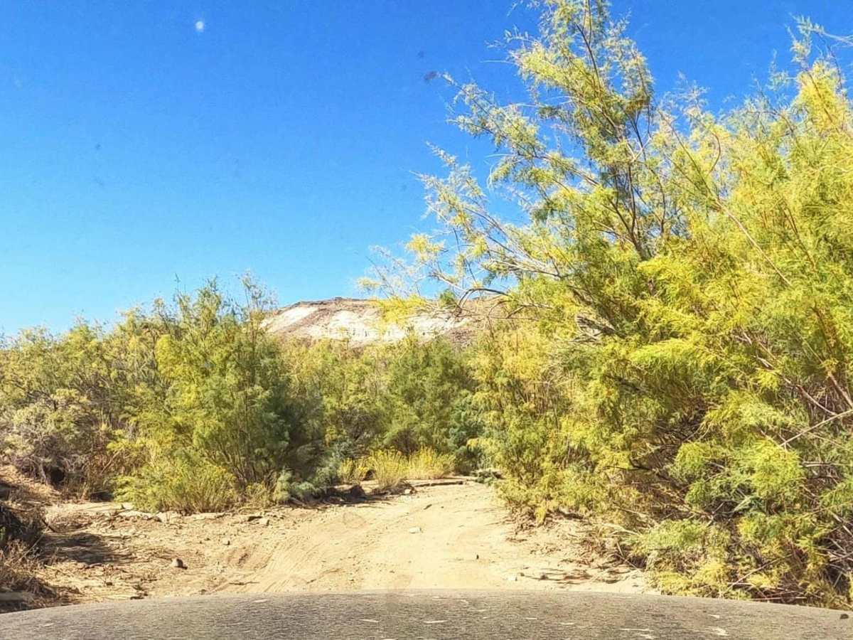
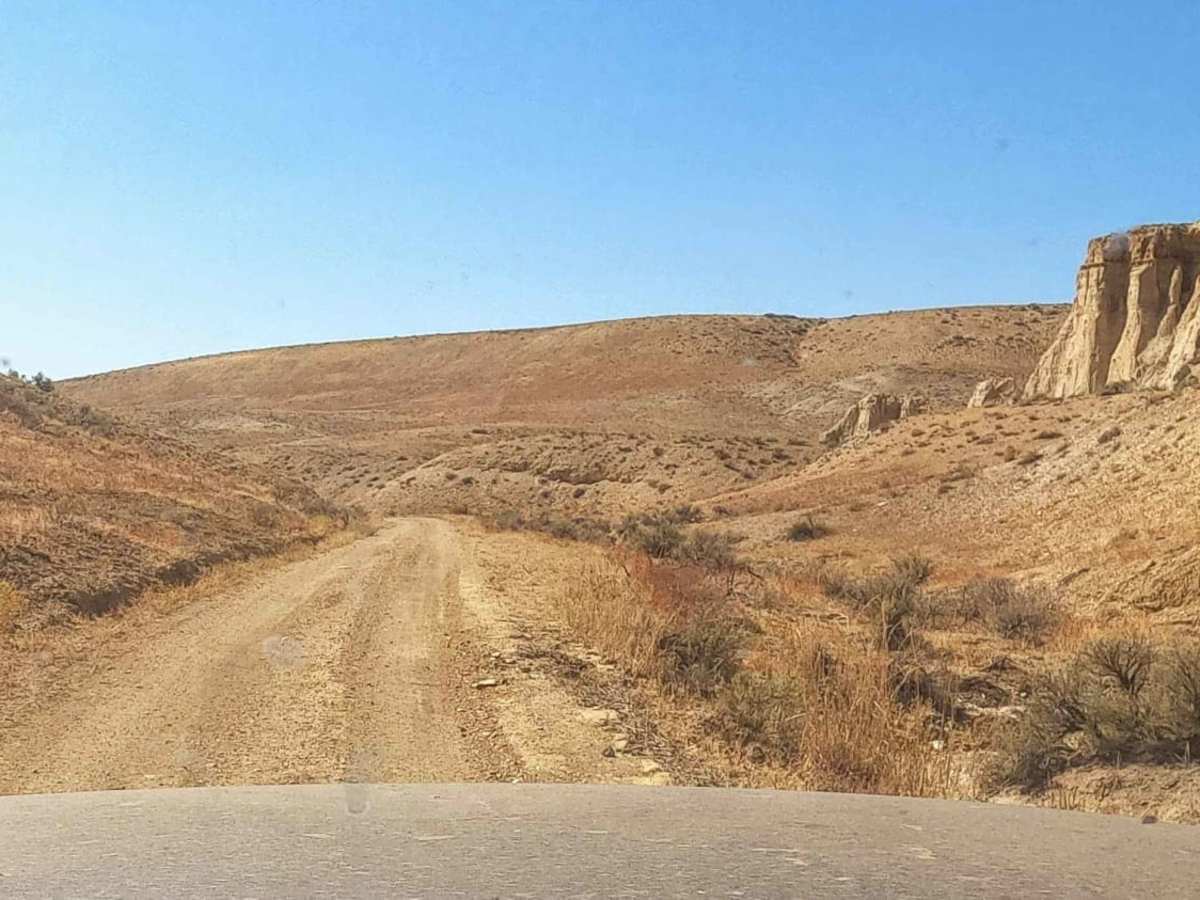
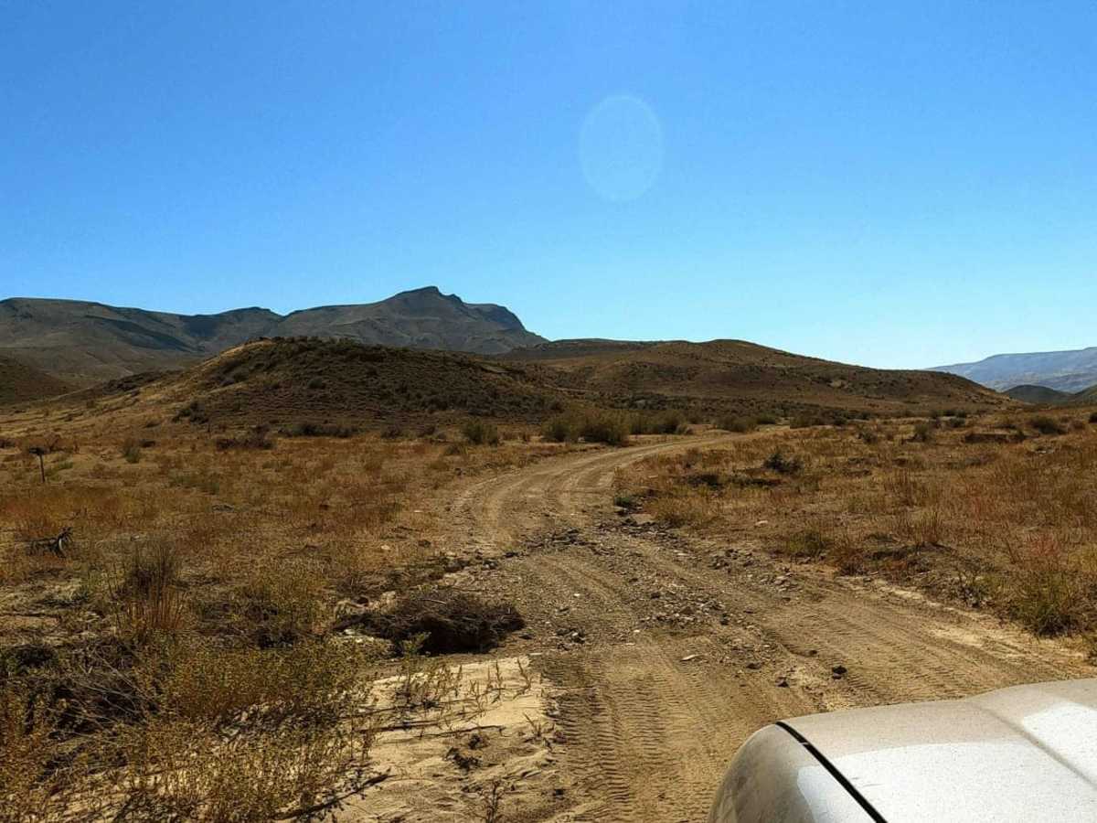
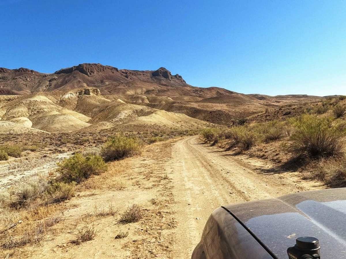
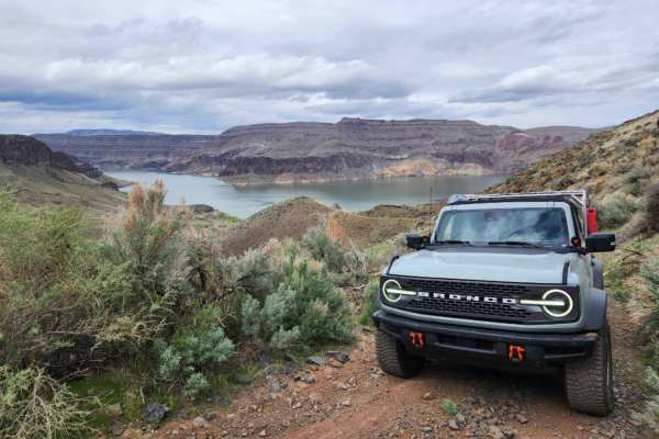
Dry Creek Road is an ideal route for remote overland enthusiasts and dual-sport riders seeking a scenic, solitary drive along the dramatic, volcanic canyons of eastern Oregon's Owyhee Country. Stretching approximately 24 miles along the western side of the Owyhee Reservoir, this easy dirt road provides access to the rugged backcountry, multiple Wilderness Study Areas, and the isolated boat-in properties at the Dry Creek Arm. The trail features mild elevation changes ranging from 2,713 to 3,820 feet above sea level, with a cumulative elevation gain of around 1,382 feet. Navigating this trail is technically straightforward under dry conditions, earning a technical rating of 2, but the sheer remoteness requires thorough preparation, including extra fuel, plentiful water, and reliable communication gear.
The route traverses a landscape dominated by towering volcanic formations like Red Butte, Quartz Mountain, and Deer Butte before terminating at the dirt two-tracks along the Owyhee River south of the reservoir. Drivers must be highly aware of weather conditions, as the local soil contains high levels of silica; when dry, it turns into extremely fine talc dust that penetrates vehicle cabins, while rain transforms it into an incredibly slick, sticky clay that adheres to tires and dries hard like concrete. Due to these challenging soil dynamics, the route is best traveled during dry periods, typically from late spring through autumn, and should be completely avoided during or immediately after rainstorms. High-clearance four-wheel-drive vehicles or properly equipped adventure motorcycles are recommended to safely negotiate the occasional rocky stretches and prevent getting stranded in this exceptionally low-traffic region.
Access Description
Dry Creek Road is managed by the Bureau of Land Management (BLM) Vale District. There are no fees or permits required to drive this public route. However, motorized vehicles must remain on designated, existing roads; off-road driving is strictly prohibited to protect the sensitive surrounding ecosystems and adjacent Wilderness Study Areas. Because of the extreme remoteness and lack of cellular service, travelers must be entirely self-sufficient, carrying adequate recovery gear, satellite communications, extra fuel, and plenty of drinking water.