Trail Overview
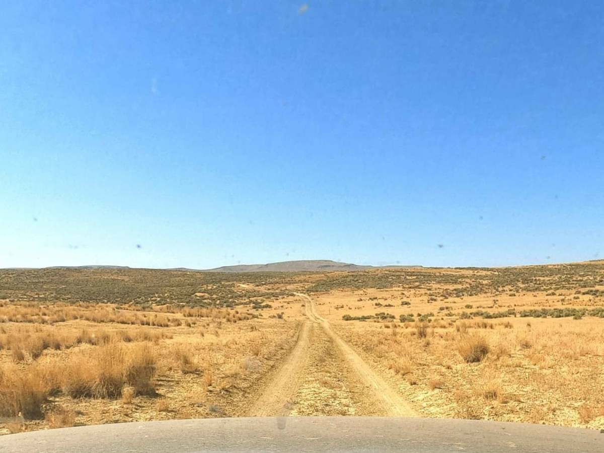
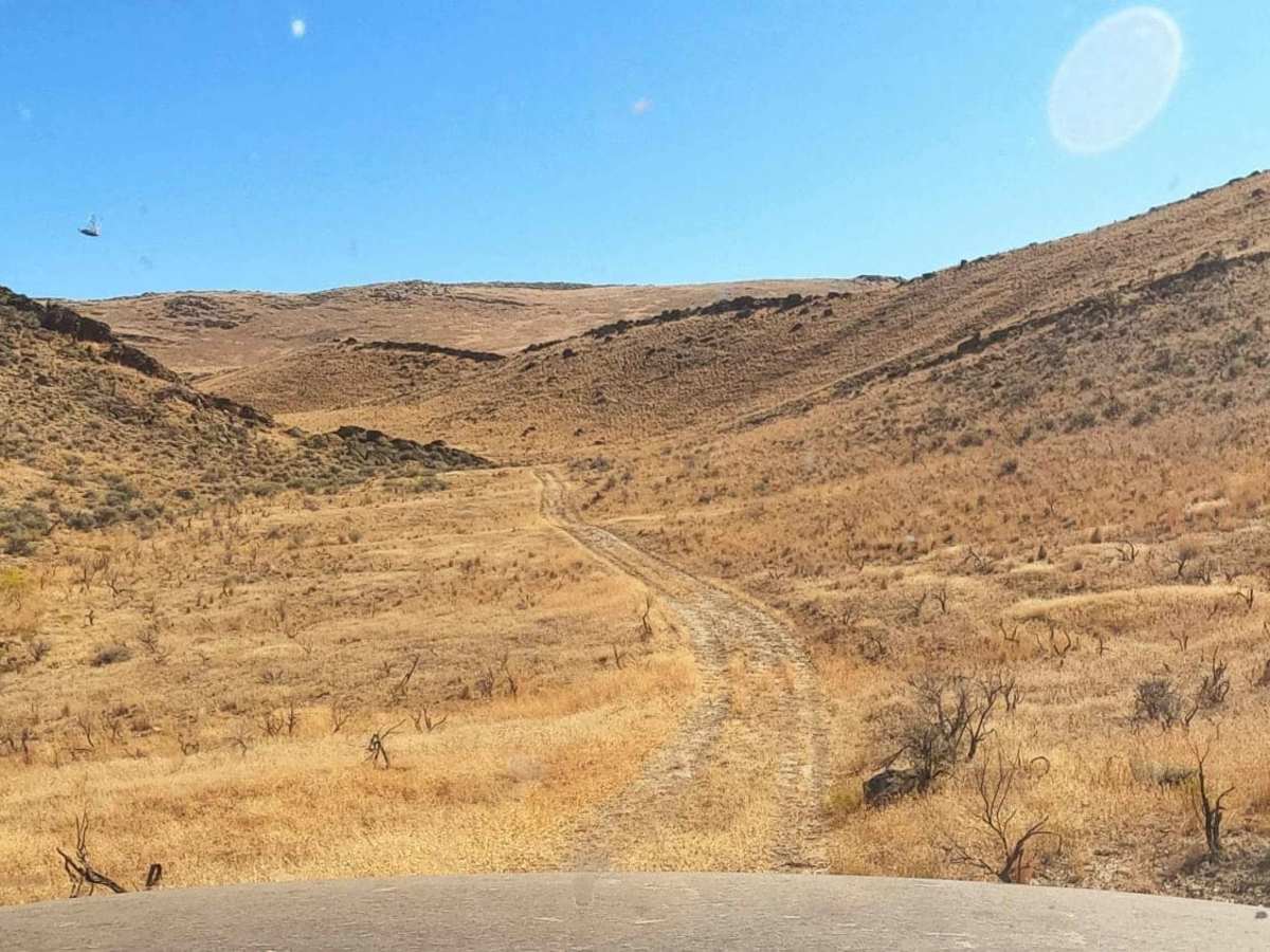
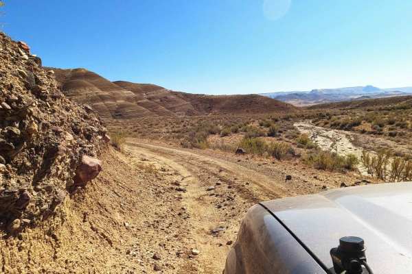
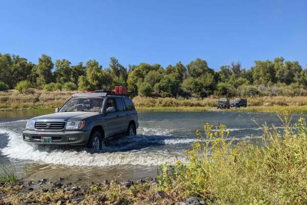
The Dry Buttes Reservoir trail is a remote out-and-back spur designed for intermediate offroaders looking to explore the wild and desolate backcountry of the Owyhee Canyonlands. Spanning approximately 3.2 miles, this rough dirt road climbs into the Dry Buttes Wilderness Study Area (WSA) and terminates at a seasonal reservoir on the west side of the Owyhee Reservoir. Drivers will encounter a mix of rocky terrain and deep ruts as the trail rises from an elevation of 3,560 feet to 3,799 feet. Because of its extreme isolation and minimal vehicle traffic, travelers must be entirely self-sufficient, carrying extra fuel, water, and spare tires to navigate this high-desert environment safely.
The region's unique soil composition presents distinct seasonal challenges, containing high silica levels that turn to fine talc dust in dry conditions and slick, concrete-like mud when wet. Driving this route during or immediately after rain is highly discouraged, as the clay-heavy mud can quickly strand even well-equipped four-wheel-drive vehicles. Stock high-clearance 4WD vehicles and capable UTVs can handle the technical rating of 3 during dry periods, but extreme caution is advised. Nearby landmarks like Hammond Hill and Twin Spring offer additional points of interest, for those seeking a true backcountry adventure away from the crowds.
Access Description
Motorized vehicles must remain on existing, designated routes within the Dry Buttes Wilderness Study Area. Off-trail driving is strictly prohibited to protect the surrounding wilderness characteristics and sensitive desert ecology. There are no fees or permits required to access this Bureau of Land Management (BLM) land, but travelers should check local weather and road conditions before departure, as wet weather can make the road completely impassable.



 Offroad