Bonita Road

Total Miles29.9
Technical Rating
3Easy
Best TimeSpring, Fall
Trail TypeFull-Width Road
Accessible By
Open Trail Map

Trail Overview

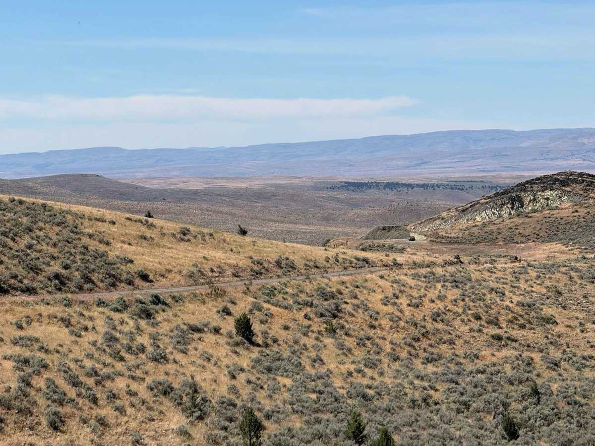
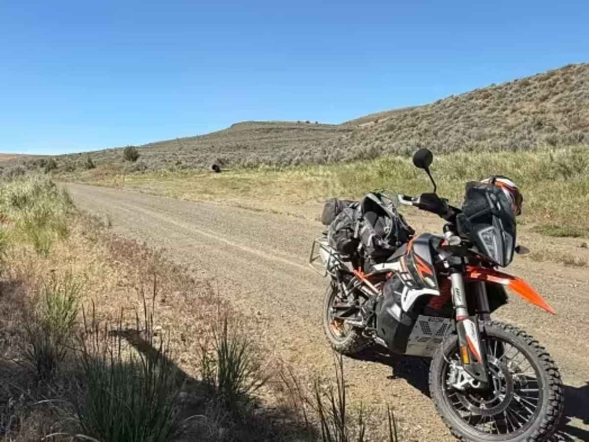
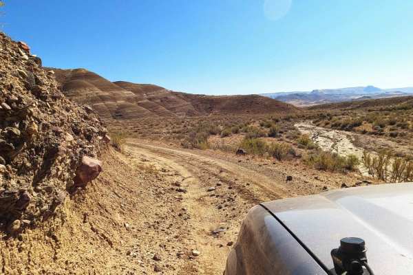
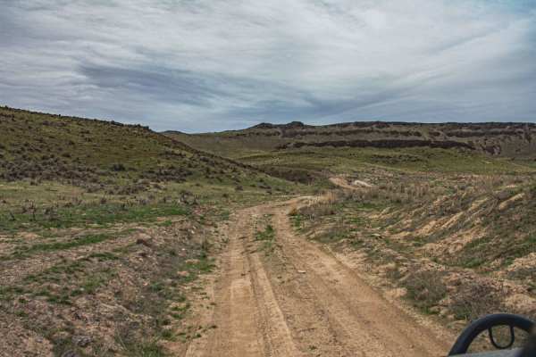
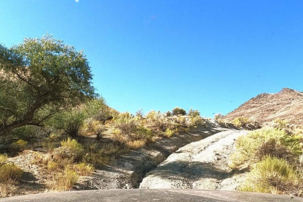
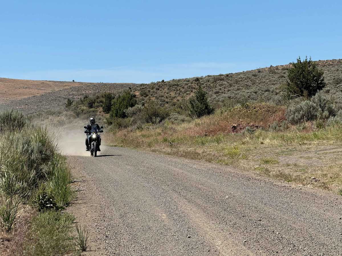
This 30-mile Westfall loop is a scenic adventure ride through the remote backcountry west of Westfall, Oregon, winding across a mix of fast gravel roads, two-track, and rugged ranch and forest terrain. The route climbs and descends through rolling hills with expansive views of the surrounding high desert, crossing open sagebrush country before reaching higher elevations with scattered pine timber and cooler mountain air. Riders can expect a variety of surfaces, from smooth county roads to rougher sections with loose rock, washboard, and occasional ruts, depending on recent weather. Wildlife sightings are common, and the ride offers a true eastern Oregon backcountry experience with very little traffic, making it ideal for adventure motorcycles, dual-sports, or capable 4x4 vehicles. The loop is approximately 30 miles long and is best enjoyed at a relaxed pace to take in the scenery and numerous photo opportunities.

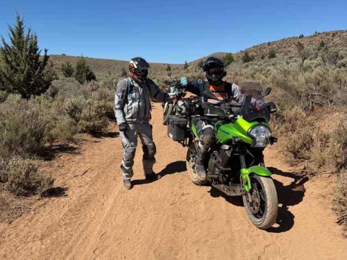
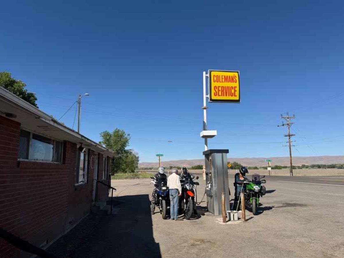
Photos of Bonita Road

Difficulty

Unless wet, the route is easy on a motorcycle or a vehicle with clearance.

Technical Rating

3

Bonita Road Trail can be accessed by the following ride types:

  • Single Track
  • 50 Inch
  • 60 Inch
  • High Clearance
  • Full Width

Bonita Road Map

The onX Offroad Difference

onX Offroad combines trail photos, descriptions, difficulty ratings, width restrictions, seasonality, and more in a user-friendly interface. Available on all devices, with offline access and full compatibility with CarPlay and Android Auto. Discover what you're missing today!

Open Trail Map