
Dirt Bike Trails
Near Tucson Estates, Arizona
Explore All Dirt Bike Trails Near Tucson Estates, Arizona
Dirt Bike Trails Near Tucson Estates, Arizona
Discover the best dirt bike trails near you. Browse trail maps, check difficulty ratings, and find your next adventure — whether you're looking for a quick ride or an all-day expedition.

Silverbell Sasco Loop
Titan Missile Interpretive Center, Silver Bell Mine, Silverbell Cemetery, mutant saguaros, and Sasco ghost town. A fun day on easy roads. Our friend that suggested the trip said it could be done "in a lifted Prius". That is slight hyperbole, but it is quite easy. Passable by most vehicles with a ...
Learn more about Silverbell Sasco Loop
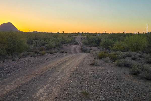
Gas Line Road
Gas Line Road offers a classic desert wheeling experience, winding through a stunning tapestry of protected landscapes, including the Ironwood Forest National Monument, BLM sections, and Arizona State Trust Land. This single-lane trek provides an intimate look at the rugged backcountry of the Southw...
Learn more about Gas Line Road
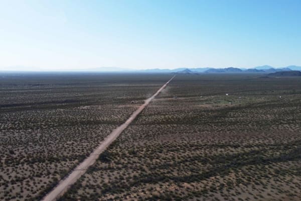
North Pump Station Road
North Pump Station Road is part of Ironwood Forest National Monument and Arizona State Trust Land. This road can be used to complete the long Silverbell Loop around the mountain. It is a smooth well graded dirt road with washboards in some areas and deep rolling washes. There are signs this area wil...
Learn more about North Pump Station Road
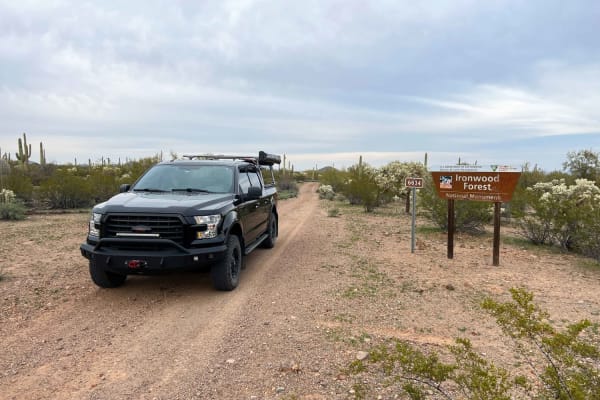
North Waterman Mountain Trail
North Waterman Mountain Trail is a narrow overgrown trail that passes through Ironwood National Monument BLM land and Arizona State Trust Land 5 miles south to West Avra Valley Road. This trail goes through many washes as it meanders through the dense saguaro and cholla valley. Expect pinstripes if ...
Learn more about North Waterman Mountain Trail
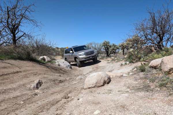
50 Year Trail Loop
Start on East Golder Ranch Drive. Turn left through the cattle guard onto E Equestrian Trail. At a corral, you take the right at the Y and proceed onto a single-vehicle-width trail. The trail remains easy with the mountain bike trail called 50 Year Trail crisscrossing the 4x4 trail and campsites alo...
Learn more about 50 Year Trail Loop
East Cochie Spring Trail
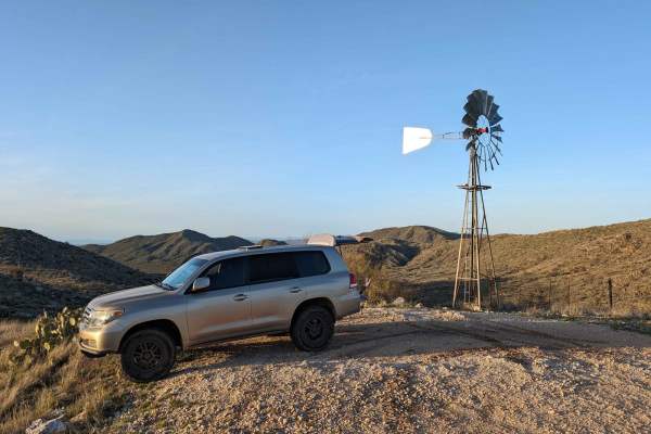
The trail veers off of the East Edwin Road just after crossing the first wash. You turn north onto the trail. The trail weaves through some tight spots in trees and cacti. The mud holes can get big after a rain, but the bottoms are mostly sandy. The main trail is the most used, but there are several...
Learn more about East Cochie Spring Trail
Badlands Trail
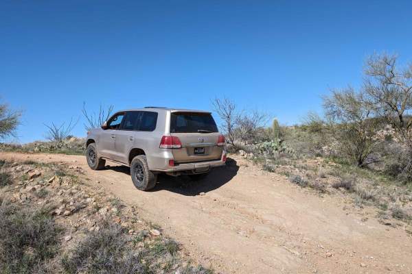
This cut-across from East Edwin Road to East Cochise Springs Road is a nice 4x4 track that leads you to many more remote campsites and to the "Badlands" loop trail system for mountain bikes. The trail takes you through some beautiful Sonoran desert vistas and past some side trails with their own fla...
Learn more about Badlands Trail
East Edwin Road
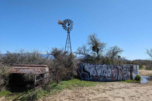
When accessing this trail, the turn to the west from Highway 77 (North Oracle Road) has its own stoplight, making the turn easier. The road has several cattle guards, some with missing bars, so be careful to not get a flat tire. Signs alert you that you're entering Arizona State Trust Land, which ne...
Learn more about East Edwin Road
Redington Pass
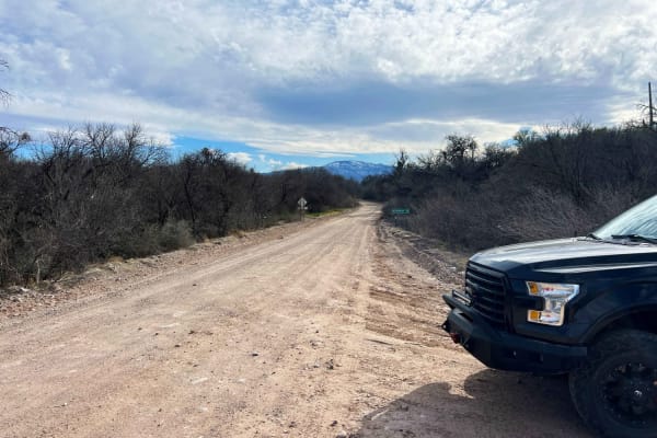
Redington Pass is a very popular two-lane road with lots of dispersed camping on the western slope overlooking Tucson. This pass varies in difficulty from deep ruts and washouts with many full washes. Most of the western side can be traversed in a low clearance 2wd with caution but it's not advised....
Learn more about Redington Pass
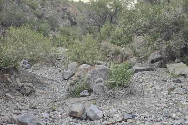
Proctor Trail
A trail that will get you towards Keystone Peak in the Sierrita Mountains. If you want to continue onward, bring a mountain bike or hike; access is blocked by large boulders. Not too difficult with a Jeep or side-by-side. May be overgrown in areas, bring a hand chain saw. Goes through State Trust la...
Learn more about Proctor Trail
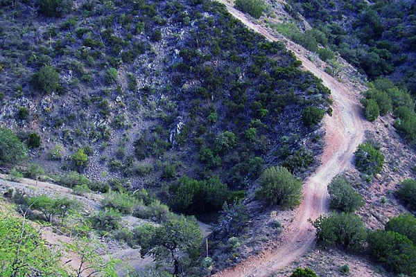
Charouleau Gap
Charouleau Gap is a challenging and highly rewarding 19-mile trail designed for experienced offroaders seeking demanding obstacles, rugged mountain terrain, and seasonal water crossings. Situated near Catalina and north of Tucson, this rugged route scales the northern slopes of the Santa Catalina Mo...
Learn more about Charouleau Gap
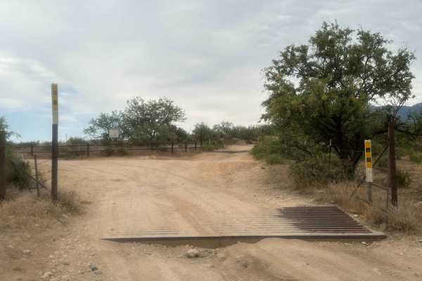
Three Feathers Playground
This route to Chiva Falls, particularly captivating during Tucson's monsoon season, leads to a stunning natural waterfall display. The trail section offers numerous technical challenges, featuring ledges and rocky inclines. The primary obstacle on this path is a steep waterfall descent, characterize...
Learn more about Three Feathers Playground
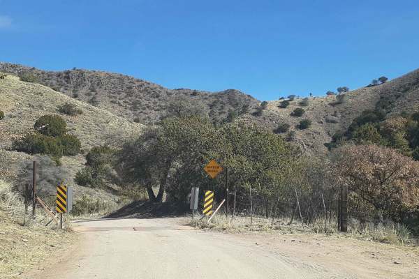
Box Canyon Road
This is a scenic drive through the Santa Rita Mountains that gets you up and out of the desert and into the oaks. Great views along the way! Coming from the east side of the mountains, it tops out behind the community of Greaterville and brings you back out to Highway 83. From there, you can head so...
Learn more about Box Canyon Road
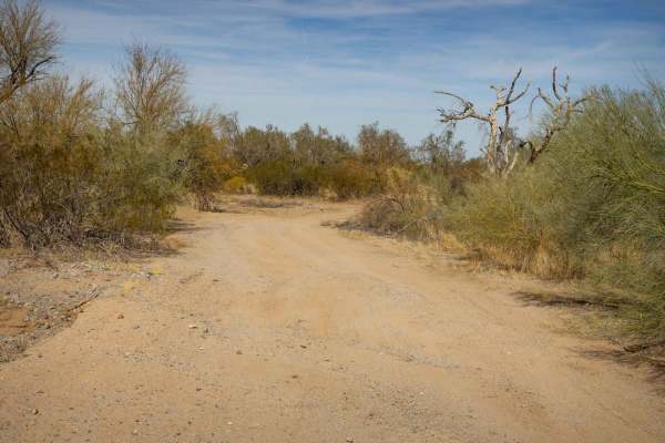
Parker Wash
Parker Wash is a typical Arizona wash, featuring the rugged, dry terrain common to the region. Parts of this wash are rocky, with packed dirt. Other sections are deep, soft sand that is easy to sink into with the possibility of getting stuck. The trail is currently blocked, making it impassable unle...
Learn more about Parker Wash
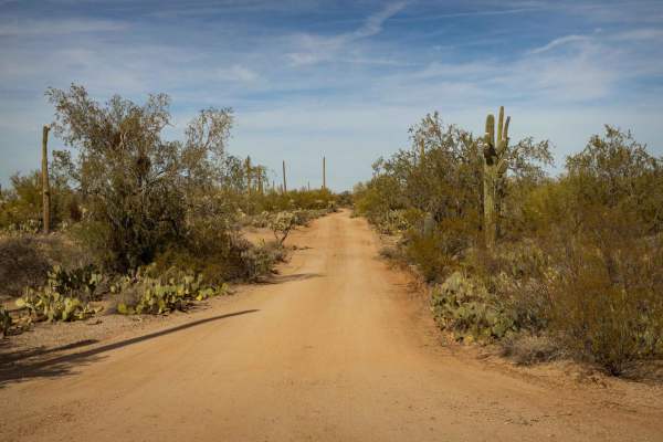
South Pygmy Owl Trail
South Pygmy Owl Trail is a narrow route that requires careful navigation due to its tight sections. The trail features wash crossings and mild erosion, adding variety to the ride, but there are no major obstacles along the way. Expect potential paint damage from nearby vegetation, so you may want to...
Learn more about South Pygmy Owl Trail
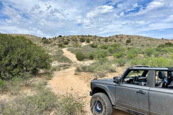
Mesa De La Oso Loop
Mesa de la Osa Trail (Trail #4405) offers a rugged offroad experience for seasoned drivers looking to test their skills northeast of Tucson in the Santa Catalina Ranger District. With its remote desert terrain, rocky ascents, and seasonal wash crossings, it’s a solid pick for those seeking a moderat...
Learn more about Mesa De La Oso Loop
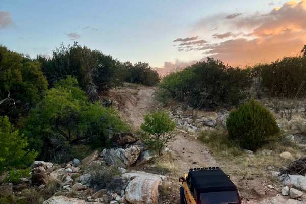
High Road
The High Road is a great route to add to a trip out to Chiva Falls. The trail goes around the falls and crosses the creek that feeds the falls. The trail is mostly a mix of dirt and solid rock with some short climbs or drops depending on direction. It's slow going, bumpy, and rocky, and will need go...
Learn more about High Road
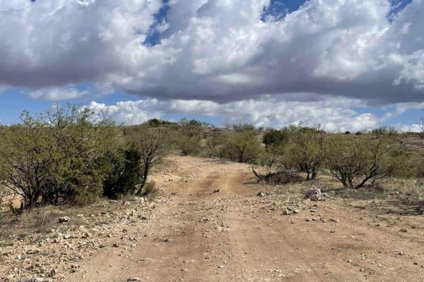
Chiva Loop - Forest Road 4417
This route to Chiva Falls follows the main Chiva Falls Trail (Forest Road 4417), offering a scenic and more approachable way to reach the falls without tackling the notorious Three Feathers obstacle. It's a classic Sonoran desert run with big skies, rocky hills, and sandy washes. Chiva Falls is best...
Learn more about Chiva Loop - Forest Road 4417
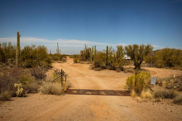
Boulevard
Boulevard is a wide and rolling trail that offers a mellow, easygoing drive. The route features gentle wash crossings and no obstacles, making it a smooth ride for vehicles of all types. With one bar of cell service in the area, it's a good idea to have offline maps downloaded before heading out.
Learn more about Boulevard
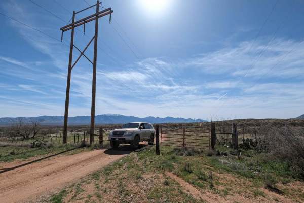
Tortolita Powerline Trail
You can start this trail from the north at Highway 79 or south at East Edwin Road. The trail follows a small powerline and cuts through several washes. Be careful in monsoon season or while raining. You pass several corrals and go through a couple of BLM grazing gates. The only hazards are cacti, tr...
Learn more about Tortolita Powerline Trail
ATV trails near Tucson Estates, Arizona
Explore ATV-friendly trails near you. These trails are accessible for vehicles up to 50 inches wide, perfect for ATVs and smaller off-road machines.
Silverbell Sasco Loop
Titan Missile Interpretive Center, Silver Bell Mine, Silverbell Cemetery, mutant saguaros, and Sasco ghost town. A fun day on easy roads. Our friend that suggested the trip said it could be done "in a lifted Prius". That is slight hyperbole, but it is quite easy. Passable by most vehicles with a ...
Learn more about Silverbell Sasco Loop
Gas Line Road
Gas Line Road offers a classic desert wheeling experience, winding through a stunning tapestry of protected landscapes, including the Ironwood Forest National Monument, BLM sections, and Arizona State Trust Land. This single-lane trek provides an intimate look at the rugged backcountry of the Southw...
Learn more about Gas Line Road
North Pump Station Road
North Pump Station Road is part of Ironwood Forest National Monument and Arizona State Trust Land. This road can be used to complete the long Silverbell Loop around the mountain. It is a smooth well graded dirt road with washboards in some areas and deep rolling washes. There are signs this area wil...
Learn more about North Pump Station Road
North Waterman Mountain Trail
North Waterman Mountain Trail is a narrow overgrown trail that passes through Ironwood National Monument BLM land and Arizona State Trust Land 5 miles south to West Avra Valley Road. This trail goes through many washes as it meanders through the dense saguaro and cholla valley. Expect pinstripes if ...
Learn more about North Waterman Mountain Trail
UTV/side-by-side trails near Tucson Estates, Arizona
Find UTV and side-by-side trails near you. These trails accommodate vehicles up to 60 inches wide, ideal for UTVs, side-by-sides, and wider off-road rigs.
Silverbell Sasco Loop
Titan Missile Interpretive Center, Silver Bell Mine, Silverbell Cemetery, mutant saguaros, and Sasco ghost town. A fun day on easy roads. Our friend that suggested the trip said it could be done "in a lifted Prius". That is slight hyperbole, but it is quite easy. Passable by most vehicles with a ...
Learn more about Silverbell Sasco Loop
Gas Line Road
Gas Line Road offers a classic desert wheeling experience, winding through a stunning tapestry of protected landscapes, including the Ironwood Forest National Monument, BLM sections, and Arizona State Trust Land. This single-lane trek provides an intimate look at the rugged backcountry of the Southw...
Learn more about Gas Line Road
North Pump Station Road
North Pump Station Road is part of Ironwood Forest National Monument and Arizona State Trust Land. This road can be used to complete the long Silverbell Loop around the mountain. It is a smooth well graded dirt road with washboards in some areas and deep rolling washes. There are signs this area wil...
Learn more about North Pump Station Road
North Waterman Mountain Trail
North Waterman Mountain Trail is a narrow overgrown trail that passes through Ironwood National Monument BLM land and Arizona State Trust Land 5 miles south to West Avra Valley Road. This trail goes through many washes as it meanders through the dense saguaro and cholla valley. Expect pinstripes if ...
Learn more about North Waterman Mountain Trail
The onX Offroad Difference
onX Offroad combines trail photos, descriptions, difficulty ratings, width restrictions, seasonality, and more in a user-friendly interface. Available on all devices, with offline access and full compatibility with CarPlay and Android Auto. Discover what you're missing today!
Open Trail Map