Charouleau Gap

Total Miles19
Technical Rating
7Difficult
Best TimeSpring, Fall
Trail TypeHigh-Clearance 4x4 Trail
Accessible By
Open Trail Map

Trail Overview

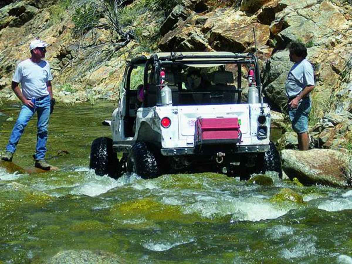
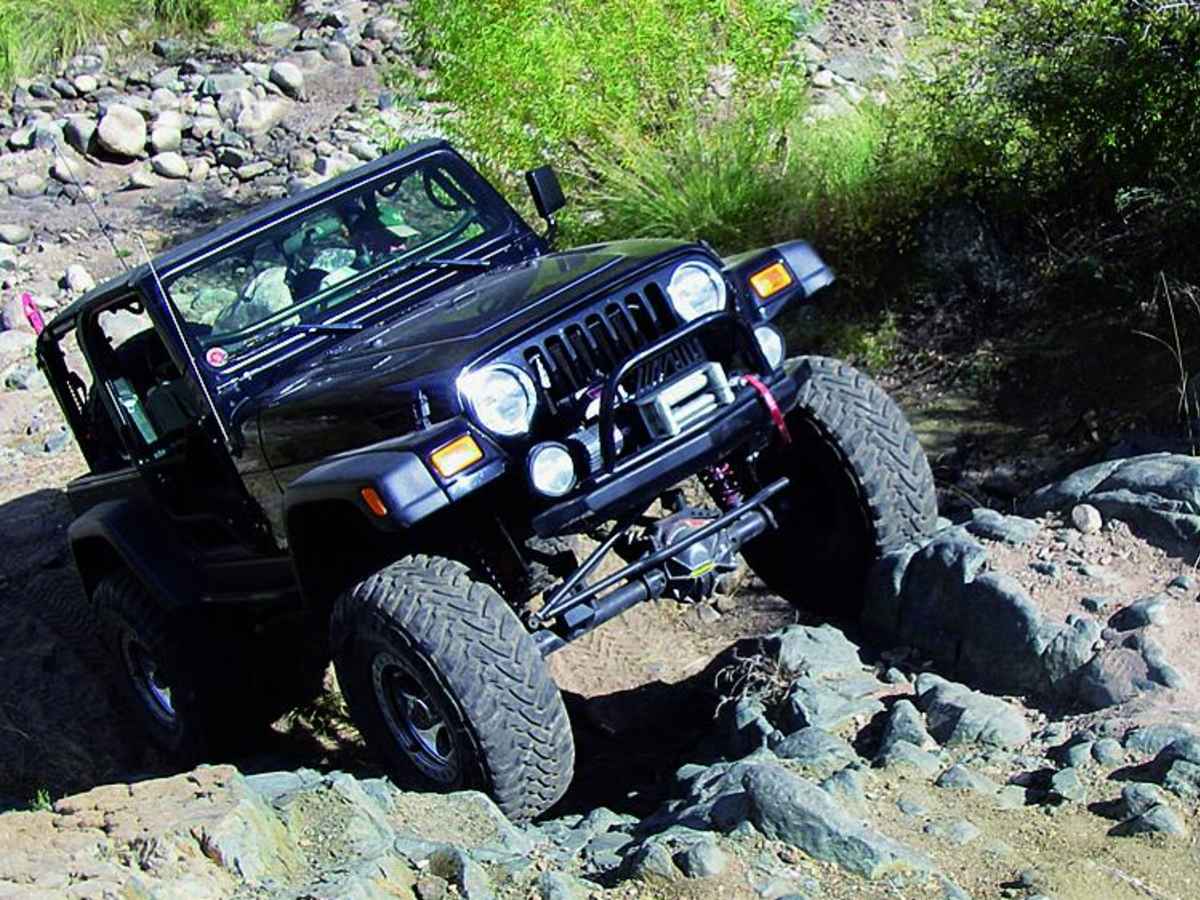
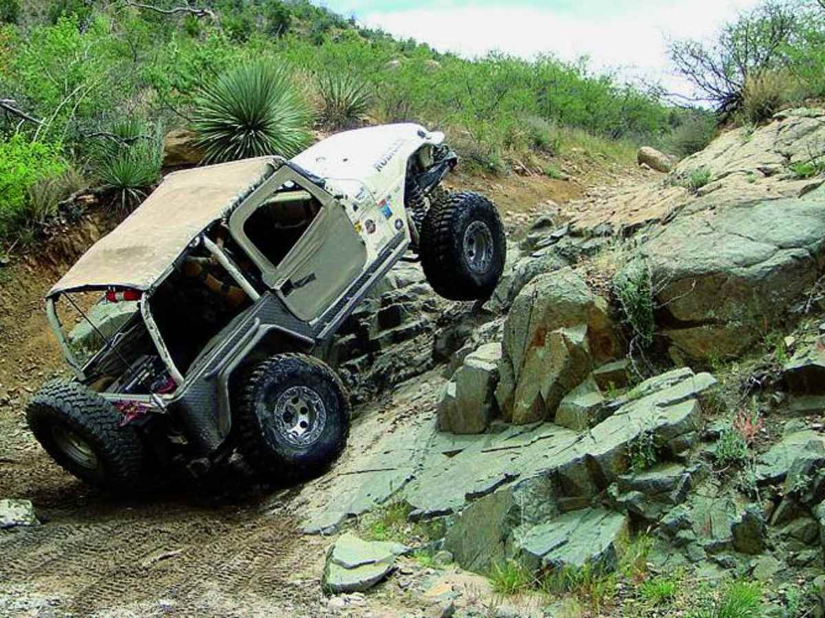
Charouleau Gap is a challenging and highly rewarding 19-mile trail designed for experienced offroaders seeking demanding obstacles, rugged mountain terrain, and seasonal water crossings. Situated near Catalina and north of Tucson, this rugged route scales the northern slopes of the Santa Catalina Mountains, climbing from a starting elevation of 3,133 feet to a peak of 5,095 feet with over 4,400 feet of cumulative elevation gain. The trail features a primarily unpaved surface of loose rock, dirt, and sandy washes, demanding a high-clearance four-wheel-drive vehicle or capable SxSs equipped with at least 33-inch or larger tires, lockers, and skid plates. Stock SUVs should not attempt this route due to its remote, punishing nature and steep gradients that max out near 73 degrees. Key obstacles like "The Step," a massive off-camber ledge, test the limits of built rigs, though an optional bypass is available for those looking to avoid body damage. The route crosses the Canada Del Oro Wash, which can flow heavily during spring snowmelt or late-summer monsoon storms, requiring caution and proper scouting before attempting deep water crossings. Maintained by the Tucson Rough Riders, the trail presents continuous challenges such as steep, loose rocky climbs, deep ruts, and tight shelf roads that require careful tire placement and potentially a spotter. Because of the trail's remote setting and high potential for mechanical breakdowns or route-finding difficulties, traveling with a group and carrying recovery gear is highly recommended. The route runs between Catalina on Highway 77 and Oracle to the northeast, offering spectacular views of the surrounding desert valleys and the rugged peaks of Coronado National Forest.

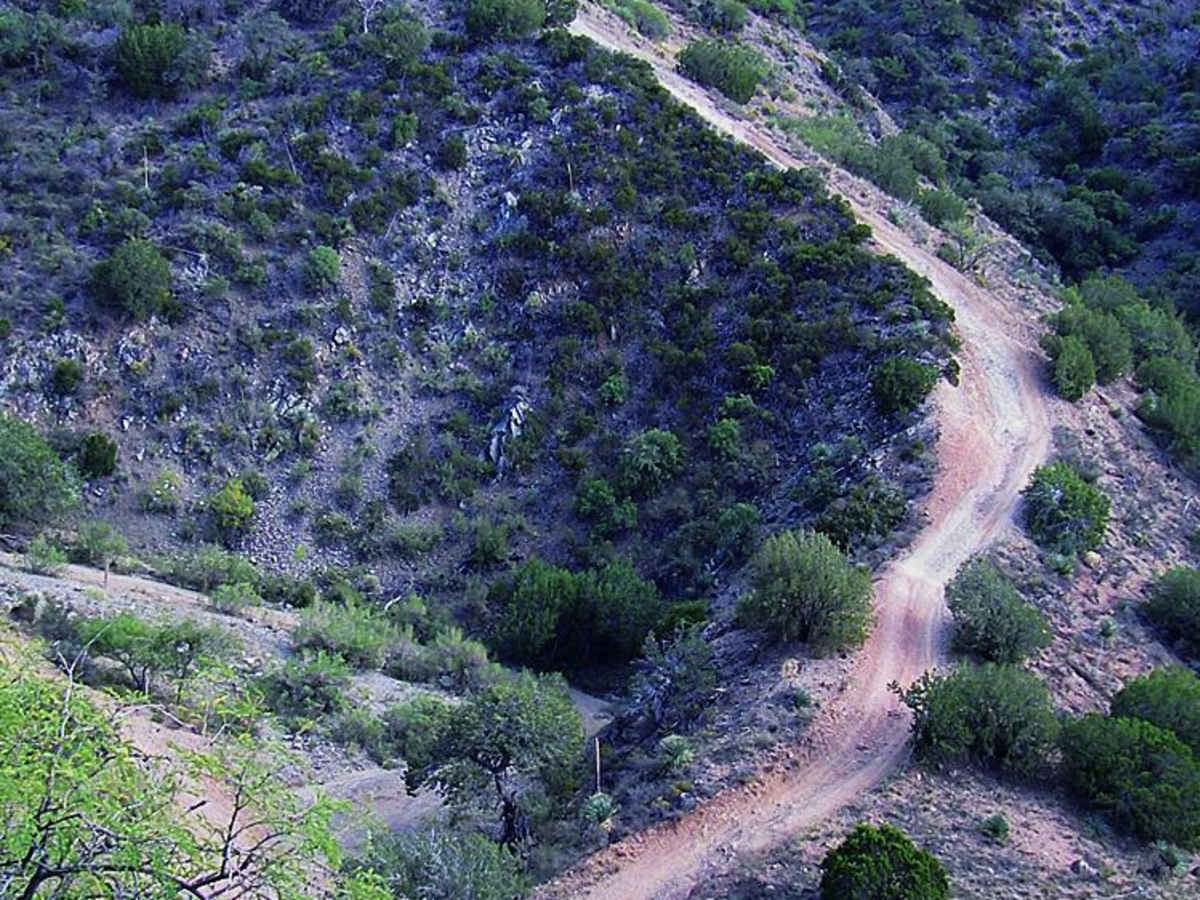
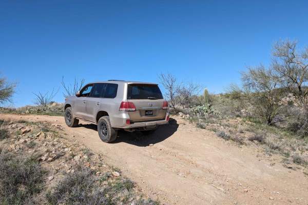
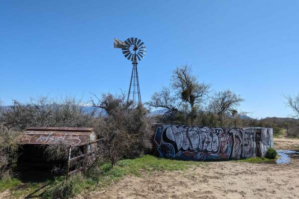
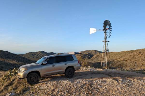
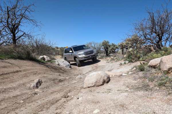
Photos of Charouleau Gap

Difficulty

Difficult: Long and remote with challenging obstacles and potentially deep water crossings. Very steep in places with loose rock. Route-finding can be challenging, even with GPS. Not for stock SUVs. Go with a group and be prepared for breakdowns.

Technical Rating

7

Status Reports

Add Status Report
Paul Adams
Apr 18, 2026
Open
Dusty
Everything was very dry and manageable. I was in a stock 2025 JLU Rubicon. I went 2.7 miles into the trail. Some obstacles required getting out and walking through to identify the line and having a spotter was beneficial.
Stanley Deelington
Apr 12, 2026
2026 Can-am X3
Open
Normal
Always a good time
Austin Huckaby
Dec 27, 2025
2009 Jeep Commander
Open
Rough/Deteriorated
Trail is certainly not for the inexperienced. It is fun as hell though. I took this trail in my jeep commander that's lifted about 3 inches on 31 in tires with a roof top tent. It was extremely difficult and wouldn't even attempt it in anything smaller. Thankfully I took this trail with a group of friends and had some help when I got high centered at one obstacle with no bypass. I did bypass all the big and well known obstacles for obvious reasons with my rig. This took about 9 hours with a group of 7 rigs making several stops along the way.
Julie Fyie
Jul 26, 2025
2019 Kawasaki Teryx4 800
Open
Kiss Rock is daunting at first sight. We'll be back in the future.
Ivan Ontiveros
Jun 21, 2025
Open
Rough/Deteriorated
Dean Guy
May 08, 2025
2022 Polaris General XP 4 1000
Open
Normal
Keith Morgan
Apr 12, 2025
Open
NormalDustyRough/Deteriorated
The Gap is a rough ride! Used to 4 wheel this trail a lot back in the day in trucks. It’s been at least 10 years since my last trip, but this time with a SXS & a Quad. This is not a trail for the inexperienced or easily intimidated. You can be hurt easily and badly. Do not go alone. A lot of the obstacles have a bypass, but not all and some of the bypasses aren’t great. Don’t overestimate your abilities or your rigs abilities. We started at 9:30 AM and went about 2/3 of the way down the backside before turning back due to time constraints. Total trip was 5 hours. Quads will have to negotiate with the trail to get through. My Honda Talon did very well and went where it was pointed. Be ready for a rough ride and sore muscles afterwards. Having said all that, it is a great trail & worth the trip. Just be careful!
Peter Vongphakdy
Dec 15, 2024
Open
The rating of this trail is way to low. A winch is absolutely needed for this trail and should absolutely expect some kind of damaged from it. and the videos posted about this trail doesn't truly show the scope of what it is. Don not attempt this trail by yourself.
kc Johnson
Nov 10, 2024
Open
in a jeep or smaller rig 4 wheel drive and some clearance you're just fine have fun. the raptor was awesome until one spot i WAS 1" to wide for a moment, lol. great tail dies get a little rough in the river buttons no water at this time
Brett steuckrath
Jun 29, 2024
Open
DustyRough/Deteriorated
Ivan Ontiveros
Apr 29, 2024
Open
Rough/Deteriorated
Mark G
Mar 22, 2024
Open
Normal
There’s an obstacle that cannot be bypassed, that has a high roll over chance. It’s further up from the “unsurvivable” obstacle. I did not get a picture of the obstacle as it was just at dawn, pictures wouldn’t do it justice anyways. It’s a steep off camber loose rock hill climb. Highly recommend a spotter. I personally decided against attempting it and turned around on the trail. There’s a couple videos on YT showing roll overs.
Luke Hopkins
Aug 27, 2023
Open
DustyRough/Deteriorated

Charouleau Gap Trail can be accessed by the following ride types:

  • Single Track
  • 50 Inch
  • 60 Inch
  • High Clearance

Charouleau Gap Map

The onX Offroad Difference

onX Offroad combines trail photos, descriptions, difficulty ratings, width restrictions, seasonality, and more in a user-friendly interface. Available on all devices, with offline access and full compatibility with CarPlay and Android Auto. Discover what you're missing today!

Open Trail Map