
Dirt Bike Trails
Near Stateline, Nevada
Explore All Dirt Bike Trails Near Stateline, Nevada
Dirt Bike Trails Near Stateline, Nevada
Discover the best dirt bike trails near you. Browse trail maps, check difficulty ratings, and find your next adventure — whether you're looking for a quick ride or an all-day expedition.
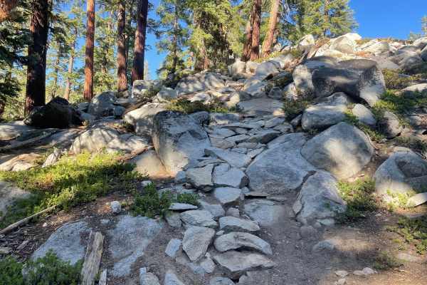
Kingsbury Stinger Trail
Kingsbury Stinger Trail is a fun all-arounder in the Tahoe Basin. It is one of the few legal trails for dirt bikes in the area. It can be ridden either direction and is strictly an out-and-back, as there is no way to loop it unless riding dual sport. Take note and be cautious, as this is frequently ...
Learn more about Kingsbury Stinger Trail
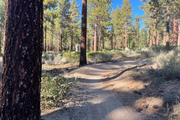
Lower Kingsbury Stinger Alternate - FS 18E46
This trail is commonly mapped as the Kingsbury Stinger Trail in apps, but according to the sign posted at the trail, it is not. It is Forest Service Trail 18E46, and we will refer to it as Lower Kingsbury Stinger Alternate. This trail allows you to out-and-back Kingsbury Stinger, but from a differen...
Learn more about Lower Kingsbury Stinger Alternate - FS 18E46
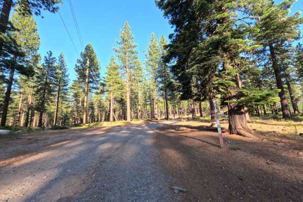
High Meadows Road - FS 12N21
This dirt road access is gated and seasonally open, with a semi-paved parking area just outside the edge of a nearby residential neighborhood. The surface starts with gravel and quickly turns to well-graded, hard-packed dirt. With only a slight incline at the start and minor dips throughout, with ve...
Learn more about High Meadows Road - FS 12N21
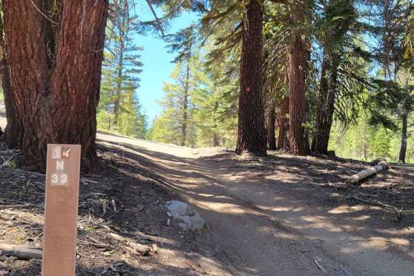
Logan House Loop 14n33
This trail has beautiful scenery that includes tree-filtered views of Lake Tahoe, Aspen groves, grassy meadows, a couple of small year-round streams, and the classic Sierra Nevada Mountain Forest. It is recommended for 4WD or AWD vehicles with higher clearance. Both ends of the trail offer paved sta...
Learn more about Logan House Loop 14n33
High Meadows Trail
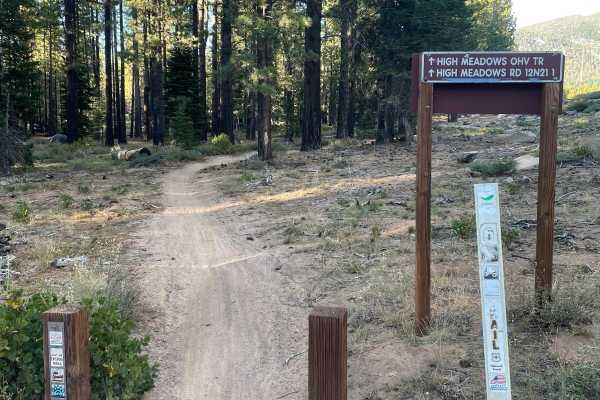
High Meadows is a more relaxed and flowing trail in the area. The biggest challenge on the trail is the loose sand that is common to the area, but most sections were not too deep, and made carrying speed fairly easy. This is a great trail for all skill levels and has some great banked corners for ha...
Learn more about High Meadows Trail
Incense Cedar Trail
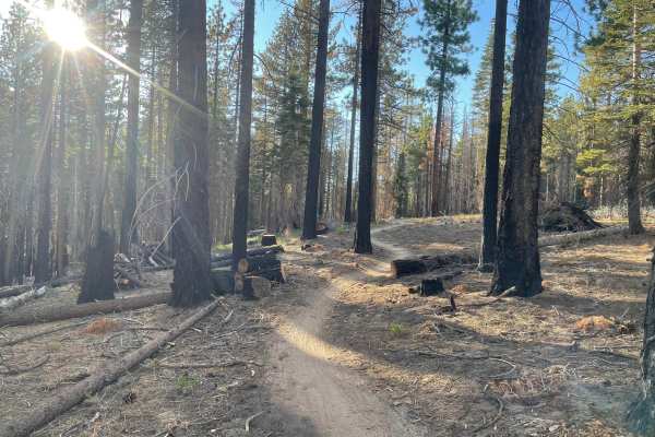
Incense Cedar Trail is a very flowy trail overall and great for all skill levels. It mostly consists of relatively banked corners and small fun rollers that can be ridden normally, wheelied, jumped, etc. One end of the trail has a couple of small rock lines that are optional, but the trail is mostly...
Learn more about Incense Cedar Trail
Genoa Peak Summit
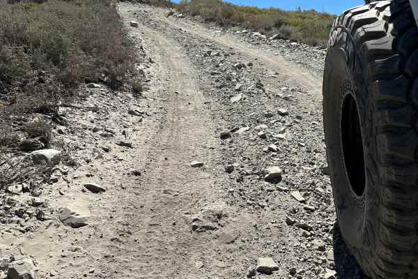
This trail can be dusty. Head size sharp rocks on hard pack with occasional tree roots. Trail is roughly a 3 (any 4x4 should make it). Saw Jeeps, SxS, and ATVs on this day. There are a few small drop-offs on the South end of the trail that could be challenging if traveling North. The trail does not ...
Learn more about Genoa Peak Summit
Sand Pits Motocross Track
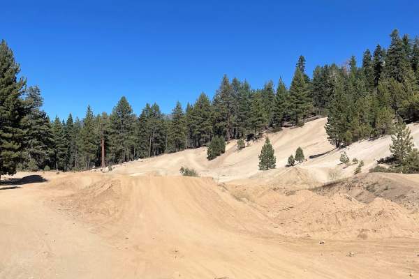
Sand Pits Motocross Track is a public track in South Lake Tahoe that is open daily and is never usually prepped. It is unmaintained by the government and is usually prepped by dedicated locals. Most prep days come in the fall and rarely in the summer. Spring and fall are awesome when the rains come ...
Learn more about Sand Pits Motocross Track
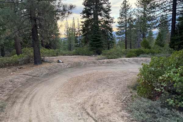
Corral Trail Alt Turns
Lower Corral Trail is full of jumps and berms (best ridden downhill and to avoid conflict with mountain bikers). The alternate line allows you to bypass a handful of jumps in the jump line and just ride some fun, continuous corners. This is great for those wanting more corners instead of jumps or fo...
Learn more about Corral Trail Alt Turns
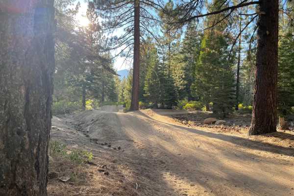
Lower Corral Trail
Lower Corral is a flow trail that should be ridden downhill and is most trafficked by MTBs although it is perfectly moto legal. The trail is jumps, berms, and rollers the entire way down and will feel relatively small on a dirt bike but sure are fun. Best when looped into with other trails nearby su...
Learn more about Lower Corral Trail
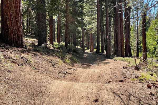
Twin Peaks
This is a sandy, loose trail made up almost entirely of continuous whoops. Occasional rocks and roots appear along the route, but the terrain is dominated by flowing sand whoops that create a fun, rhythmic ride. The trail also features well-formed sand corners and serves as the only narrower route i...
Learn more about Twin Peaks
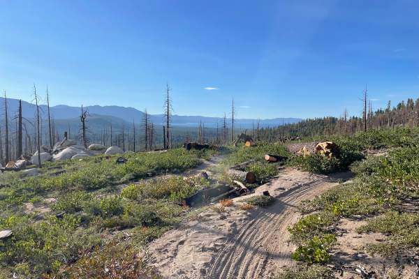
Sierra Sidewinder Trail
Sierra Sidewinder Trail is an awkwardly tight trail that will help you work on balance. The turns have a weird apex to them, and most are hard to lean into due to the tight trees being right where you want to put your handlebars. It is best ridden as an uphill and looped back into Corral or Incense ...
Learn more about Sierra Sidewinder Trail
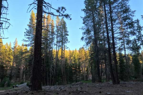
Saxon Tie Road - FS 12N17
The route starts at a parking lot along the paved Fountain Place Road (FS 1201) that also serves as the trailhead for Mr. Toad's Wild Ride, a popular mountain bike trail. The route continues past the lot to a seasonal gate. Past the gate, conditions shift quickly from gravel to hard-packed dirt with...
Learn more about Saxon Tie Road - FS 12N17
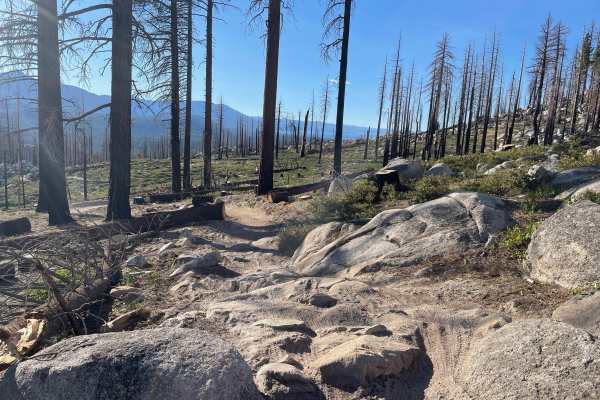
Upper Corral
Upper Corral is a fun and more technical trail in the area. It is quite fun in both directions, but it should be recommended as primarily downhill, to avoid head-to-heads with mountain bikers on one of the most popular and frequently ridden trails in the area. It is quite loose and full of sandier s...
Learn more about Upper Corral
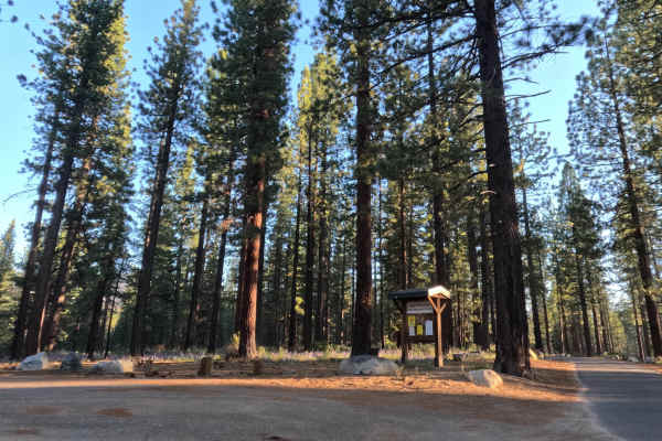
Saxon Creek Road - FS 12N01A
Start from a paved parking lot with a seasonally open gate, descending onto dirt almost immediately as you proceed. Recent logging activity lines the first stretch where you'll see stacked logs and marked trees along the well graded dirt and gravel surface. About a third of a mile in you reach a cul...
Learn more about Saxon Creek Road - FS 12N01A
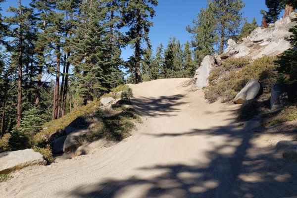
Genoa Peak Road - 41306
You'll get some great views of Lake Tahoe from this trail. It's a wide, single-lane gravel trail that's moderately to heavily used during the summer. The gates at both ends of the road are locked from November 15 to June 1st due to snowy conditions. It is recommended for 4x4s with high clearance, Je...
Learn more about Genoa Peak Road - 41306
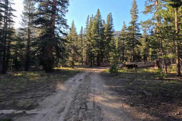
Unnamed Spur off Jobs Peak Trail Road - FS 31051
Winding through a serene, high-elevation alpine forest managed by Humboldt-Toiyabe National Forest, Unnamed Spur 1 branches directly off Jobs Peak Trail Road - FS 31051 as a versatile side route. While it lacks official junction signage at the start, the well-established dirt entrance is easy to spo...
Learn more about Unnamed Spur off Jobs Peak Trail Road - FS 31051
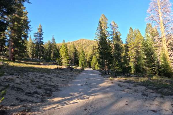
Jobs Peak Trail Spur - FS 31051A
Jobs Peak Trail Road - FS 31051A is a tranquil 0.5-mile out-and-back spur route through alpine forest managed by Humboldt-Toiyabe National Forest. Accessed directly from the main forest road network, this short single-track dirt road serves as a primary access corridor for hikers to reach the Jobs P...
Learn more about Jobs Peak Trail Spur - FS 31051A
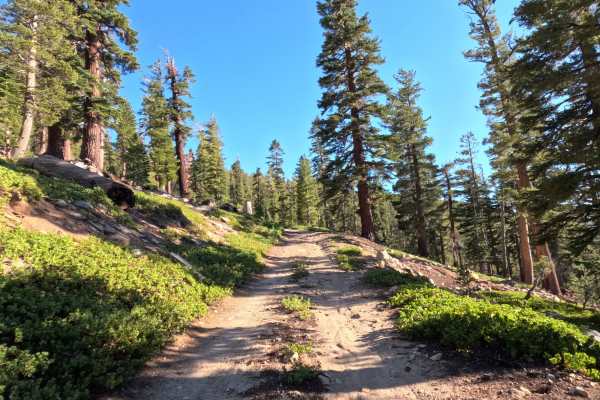
Horse Meadows Spur - FS 31051B
Located in a peaceful, high-altitude forest, Horse Meadows Spur B - FS 31051B is a 1-mile spur route managed by Sequoia National Forest. Accessed via the top of Horse Meadows Road, this trail is primarily used by visitors seeking remote primitive camping and access to nearby high-country hiking trai...
Learn more about Horse Meadows Spur - FS 31051B
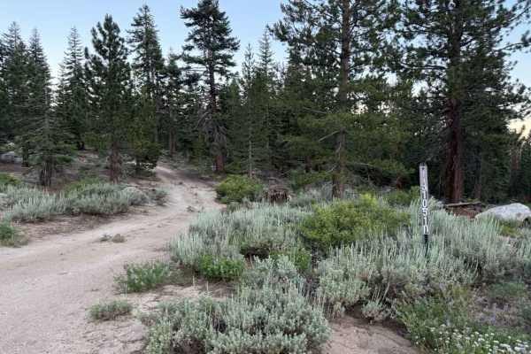
Willow Creek Road - FS 31051D
Winding through a dense, high-elevation pine forest managed by Humboldt-Toiyabe National Forest, Willow Creek Rd 31051D offers a scenic and tranquil loop off Horse Meadows Rd and nearby access points closest to Armstrong Pass Trailhead. Outdoor enthusiasts often utilize this short connector route to...
Learn more about Willow Creek Road - FS 31051D
ATV trails near Stateline, Nevada
Explore ATV-friendly trails near you. These trails are accessible for vehicles up to 50 inches wide, perfect for ATVs and smaller off-road machines.
High Meadows Road - FS 12N21
This dirt road access is gated and seasonally open, with a semi-paved parking area just outside the edge of a nearby residential neighborhood. The surface starts with gravel and quickly turns to well-graded, hard-packed dirt. With only a slight incline at the start and minor dips throughout, with ve...
Learn more about High Meadows Road - FS 12N21
Logan House Loop 14n33
This trail has beautiful scenery that includes tree-filtered views of Lake Tahoe, Aspen groves, grassy meadows, a couple of small year-round streams, and the classic Sierra Nevada Mountain Forest. It is recommended for 4WD or AWD vehicles with higher clearance. Both ends of the trail offer paved sta...
Learn more about Logan House Loop 14n33
High Meadows Trail
High Meadows is a more relaxed and flowing trail in the area. The biggest challenge on the trail is the loose sand that is common to the area, but most sections were not too deep, and made carrying speed fairly easy. This is a great trail for all skill levels and has some great banked corners for ha...
Learn more about High Meadows Trail
Genoa Peak Summit
This trail can be dusty. Head size sharp rocks on hard pack with occasional tree roots. Trail is roughly a 3 (any 4x4 should make it). Saw Jeeps, SxS, and ATVs on this day. There are a few small drop-offs on the South end of the trail that could be challenging if traveling North. The trail does not ...
Learn more about Genoa Peak Summit
UTV/side-by-side trails near Stateline, Nevada
Find UTV and side-by-side trails near you. These trails accommodate vehicles up to 60 inches wide, ideal for UTVs, side-by-sides, and wider off-road rigs.
High Meadows Road - FS 12N21
This dirt road access is gated and seasonally open, with a semi-paved parking area just outside the edge of a nearby residential neighborhood. The surface starts with gravel and quickly turns to well-graded, hard-packed dirt. With only a slight incline at the start and minor dips throughout, with ve...
Learn more about High Meadows Road - FS 12N21
Logan House Loop 14n33
This trail has beautiful scenery that includes tree-filtered views of Lake Tahoe, Aspen groves, grassy meadows, a couple of small year-round streams, and the classic Sierra Nevada Mountain Forest. It is recommended for 4WD or AWD vehicles with higher clearance. Both ends of the trail offer paved sta...
Learn more about Logan House Loop 14n33
Genoa Peak Summit
This trail can be dusty. Head size sharp rocks on hard pack with occasional tree roots. Trail is roughly a 3 (any 4x4 should make it). Saw Jeeps, SxS, and ATVs on this day. There are a few small drop-offs on the South end of the trail that could be challenging if traveling North. The trail does not ...
Learn more about Genoa Peak Summit
Saxon Tie Road - FS 12N17
The route starts at a parking lot along the paved Fountain Place Road (FS 1201) that also serves as the trailhead for Mr. Toad's Wild Ride, a popular mountain bike trail. The route continues past the lot to a seasonal gate. Past the gate, conditions shift quickly from gravel to hard-packed dirt with...
Learn more about Saxon Tie Road - FS 12N17
The onX Offroad Difference
onX Offroad combines trail photos, descriptions, difficulty ratings, width restrictions, seasonality, and more in a user-friendly interface. Available on all devices, with offline access and full compatibility with CarPlay and Android Auto. Discover what you're missing today!
Open Trail Map