Trail Overview
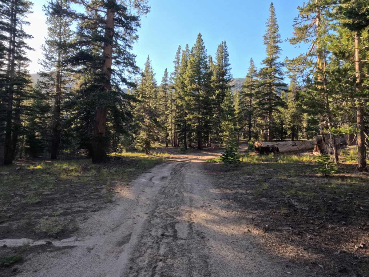
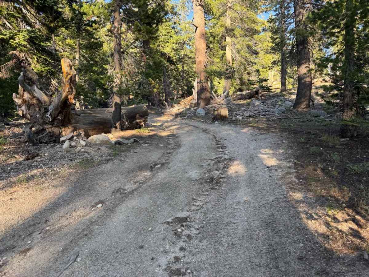
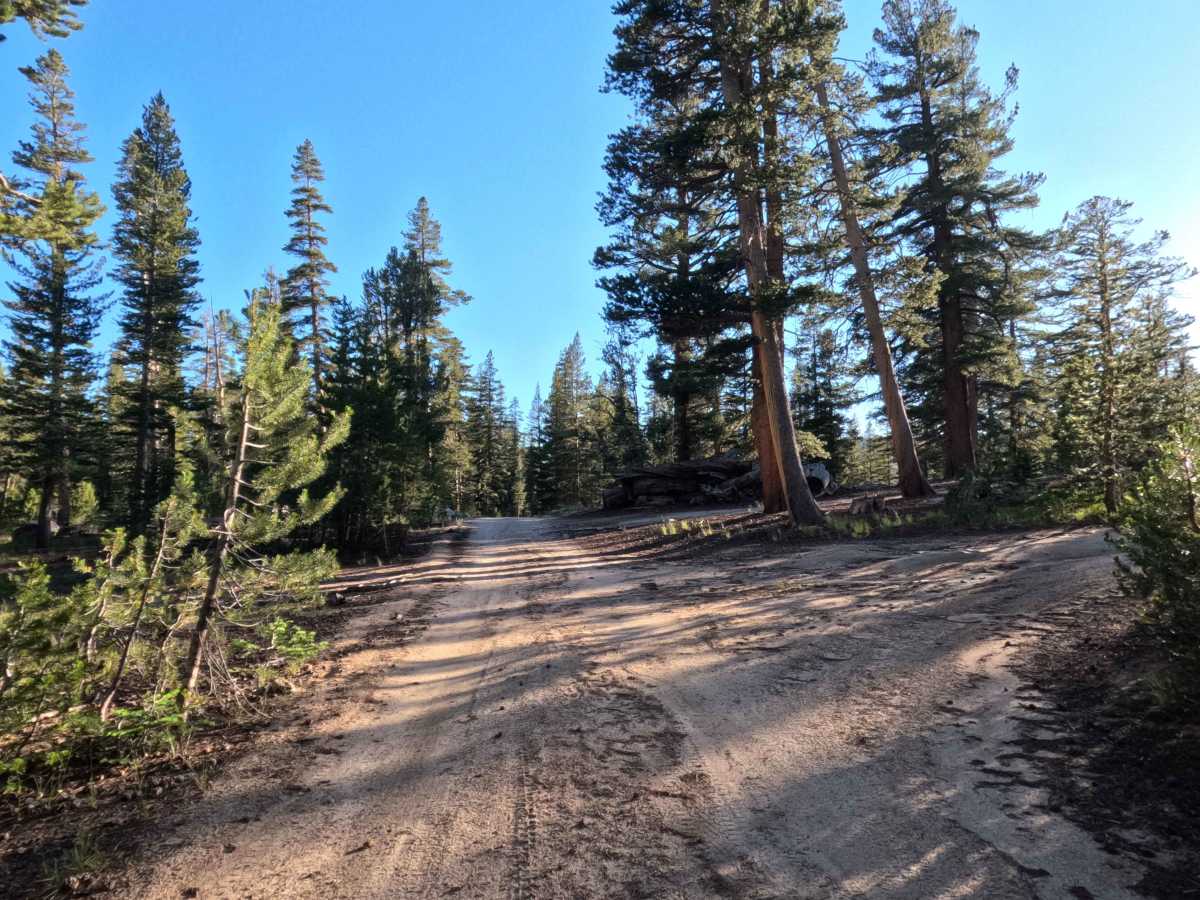
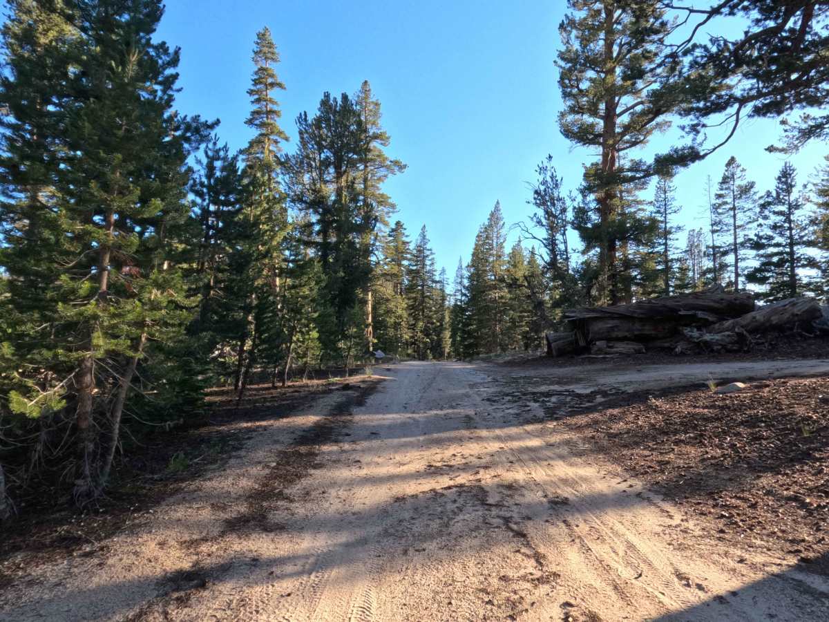
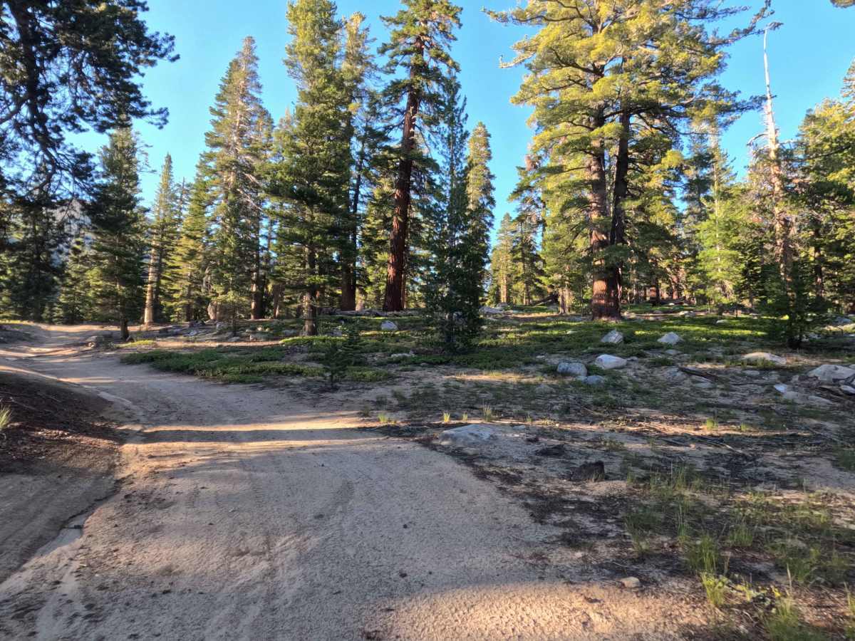
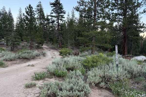
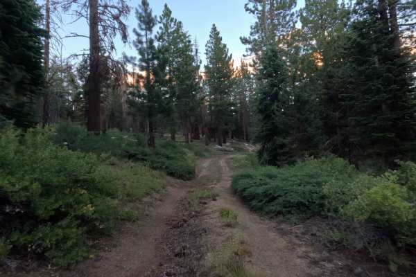
Winding through a serene, high-elevation alpine forest managed by Humboldt-Toiyabe National Forest, Unnamed Spur 1 branches directly off Jobs Peak Trail Road - FS 31051 as a versatile side route. While it lacks official junction signage at the start, the well-established dirt entrance is easy to spot and serves as a secondary access point or overflow parking area for adventurers heading toward the scenic Jobs Peak Trail. The route begins on a single-track surface composed of embedded rock and hard-packed dirt. At 0.2 miles, the trail passes a sign for a second connective spur near a potential dispersed campsite. By 0.3 miles, the path noticeably narrows, grows rougher, and begins transitioning into a track better used by OHVs, mountain bikes, and hikers. Drivers will find a smaller turnaround area at 0.4 miles. Beyond this point, the track becomes increasingly steeper, rockier, and overgrown until it's accessed by the Jobs Peak hiking trail near 0.6 miles.
Difficulty
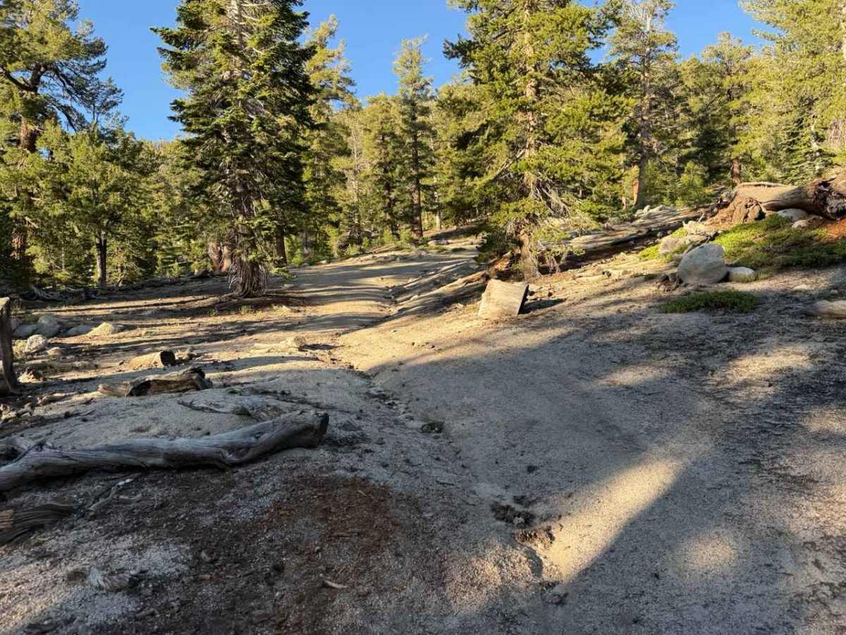
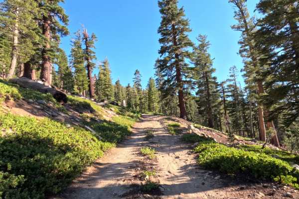
Rated a 3, this narrow, single-track spur features a technical surface of hard-packed dirt, embedded rock, and noticeable water erosion rutting running along the right side of the path. The initial section remains relatively mild, but past 0.3 miles, the path becomes rougher, steeper, and overgrown. If continuing in OHV, drivers will encounter exposed granite boulders, loose rock beds, and tight trail clearances that require careful line choice to avoid undercarriage impacts.