Trail Overview
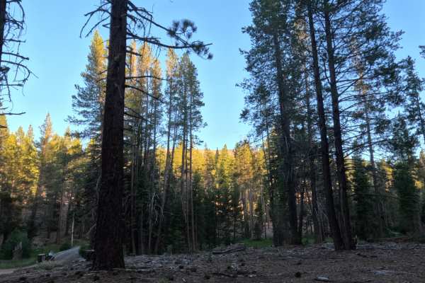
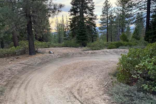
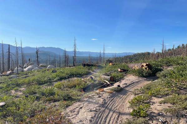
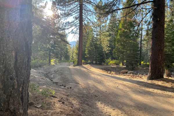
Start from a paved parking lot with a seasonally open gate, descending onto dirt almost immediately as you proceed. Recent logging activity lines the first stretch where you'll see stacked logs and marked trees along the well graded dirt and gravel surface. About a third of a mile in you reach a culvert crossing, its rocky, humped middle, and demands a slow careful line if you're driving a low clearance vehicle. Past the culvert the road narrows and roughens as it climbs toward the edge of the Caldor Fire scar. Standing burned tree trunks remain visible. A signed non-motorized trail crosses just past the culvert, note it and continue straight. The road dead-ends at a turnaround near the old trailhead, about a mile out, making for a two-mile round trip.
Difficulty
This route is primarily a straightforward, well-graded dirt and gravel road, manageable for most stock vehicles. The one technical point is the culvert crossing about one-third of a mile in, where a rocky, higher-centered hump slightly decreases clearance, requiring a careful, slow line to avoid scraping a low-clearance vehicle. As the road narrows and gets bumpier, it climbs toward the fire-scarred hillside near the end. Nothing beyond the culvert requires special skill, just steady attention.



 Offroad