Trail Overview
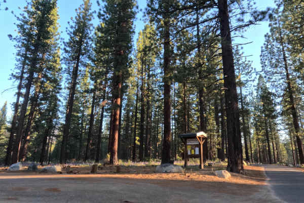
The route starts at a parking lot along the paved Fountain Place Road (FS 1201) that also serves as the trailhead for Mr. Toad's Wild Ride, a popular mountain bike trail. The route continues past the lot to a seasonal gate. Past the gate, conditions shift quickly from gravel to hard-packed dirt within the first 30 feet, and the road stays flat and easy the rest of the way. There are no ruts, dips, or anything weather-related to worry about. The tread is spacious throughout with plenty of pull-outs, though not a full two-vehicle width everywhere. A culvert carries drainage under the road partway along, and a water bar crosses the surface further up, both unremarkable at normal speed. The dirt ends at a small bridge with broken asphalt and gravel, where the route meets Powerline Rd (FS 12N08), a steep climb that may have descending mountain bike riders. There's a pull-out near the bridge with room for two cars to turn around, and more parking at the FS 12N08 intersection and scattered along the length of the road.
Difficulty
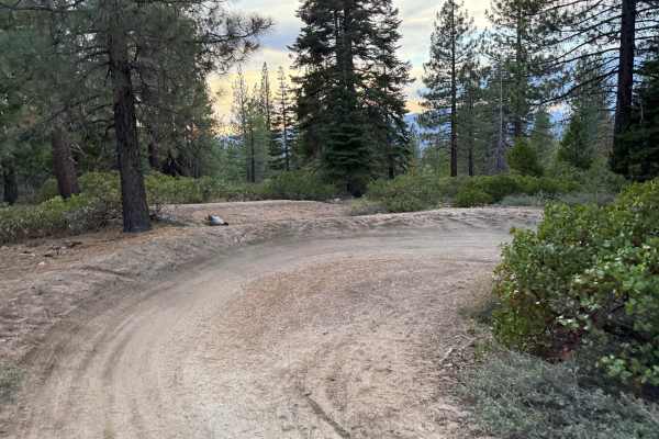
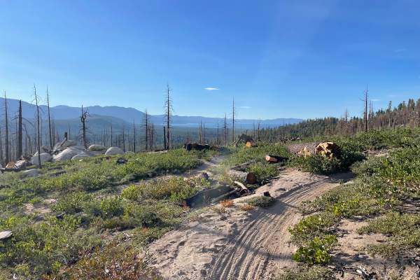
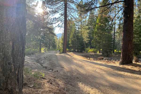
This is an easy, low-stress road suitable for nearly any vehicle. The surface transitions quickly from gravel to smooth, hard-packed dirt, and stays flat with no real elevation change. There's no rutting, no washboarding, and nothing technical to navigate; a standard passenger car handles it without issue. The road narrows in a few spots but never drops below single-vehicle width, and frequent pull-outs make passing easy. There are no obstacles and no need to hesitate, even for a first-time off-pavement driver.



 Offroad