
Dirt Bike Trails
Near Shaver Lake, California
Explore All Dirt Bike Trails Near Shaver Lake, California
Dirt Bike Trails Near Shaver Lake, California
Discover the best dirt bike trails near you. Browse trail maps, check difficulty ratings, and find your next adventure — whether you're looking for a quick ride or an all-day expedition.
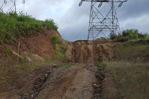
Rector Line 9S006
Rector Line (Forest Service Road 9S006) is a rugged backcountry route in the Sierra National Forest, best suited for high-clearance 4x4 rigs and seasoned drivers looking for a remote challenge near Shaver Lake. This trail stands out for its mix of decomposed granite, embedded rock, and steep, off-ca...
Learn more about Rector Line 9S006
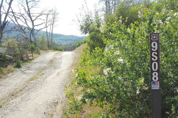
Sugarloaf - FS 9S08
This is a point-to-point single vehicle-width trail in the Jose Creek Basin area. The surface is primarily packed dirt with short stretches of gravel. There can also be shallow ruts and mud holes frequently along the route. This trail will pass through both a section of forest with fire damage and a...
Learn more about Sugarloaf - FS 9S08
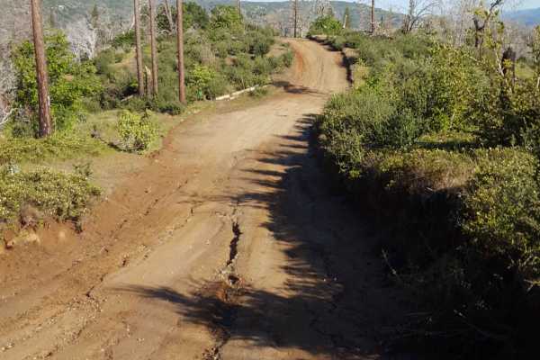
Jose Basin
This is the primary dirt road running through the Jose Creek Basin in the Sierra National Forest and connects the north end of Jose Basin Road to Auberry Road/Highway 168. It is wide enough in most places to allow vehicles to pass each other. Depending on the weather, there could be occasional muddy...
Learn more about Jose Basin
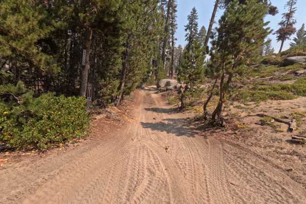
Plain - FS 26E211
Don't let the name fool you—Plain (FS 26E211) is anything but boring. This delightful connector trail serves as a scenic bridge between the popular Bald Mountain (FS 26E219) route and the more technical Basecamp (FS 26E328) trail. The drive is a quintessential High Sierra experience, featuring a dyn...
Learn more about Plain - FS 26E211
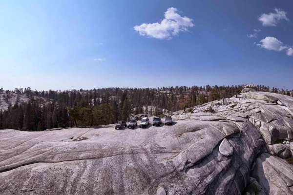
Bald Rush - FS 26E311
Bald Rush is a serious contender for one of the most engaging technical trails in the Bald Mountain network. It’s not just a drive; it’s a full-body workout for your suspension. The trail tread is a classic Sierra cocktail of dirt, sand, and decomposed granite (DG), but the main event is the relentl...
Learn more about Bald Rush - FS 26E311
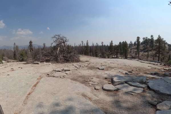
Bow Tie - FS 25E208
Bow Tie (FS 25E208) is a classic High Sierra connector that feels like a "greatest hits" album of the Bald Mountain region. Starting from Rock Creek Road, this trail winds south, linking up with Tower (FS 25E314) and eventually terminating at Plain (FS 25E315). The tread is that signature Sierra mix...
Learn more about Bow Tie - FS 25E208
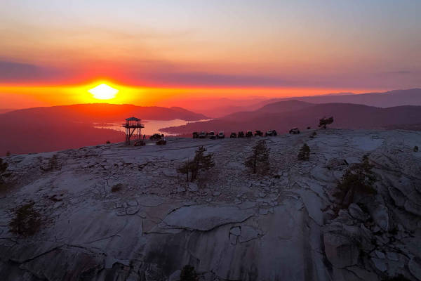
Bald Mountain - FS 26E219
Bald Mountain (FS 26E219) is the crown jewel of the area, a legendary "two-track" trail that serves up a perfect cocktail of high Sierra granite terrain. The route climbs steadily from the Green Gate toward the summit, offering a dynamic surface mix of loose dirt, decomposed granite (DG), and grippy...
Learn more about Bald Mountain - FS 26E219
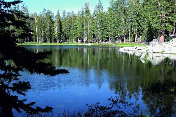
Brewer Lake
If you are a beginner, or looking to test out a new vehicle, this is a great easy trail. The trail is short but provides beautiful views of Shaver Lake below. The last three quarters of a mile will appeal to those looking for a challenge. Great campspots available.
Learn more about Brewer Lake
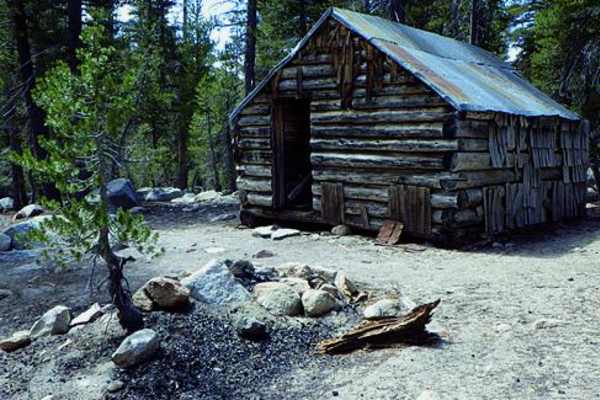
Swamp Lake
Contrary to what its name implies, Swamp Lake Trail is a high-elevation mountain route climbing over 9,500 feet at one point. Although much of the trail is heavily forested, the scenery is very impressive from high vistas along the route. You pass several excellent fishing lakes, although some requi...
Learn more about Swamp Lake
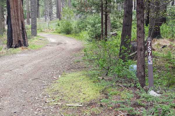
Ellis Meadow - FS 7S076
This point-to-point connector trail runs through wooded sections and a large meadow area near Roush Creek. The route is at least as wide as a full-size vehicle and has wider areas to allow vehicles to pass each other easily. The surface is primarily dirt with small embedded rocks. There can be occas...
Learn more about Ellis Meadow - FS 7S076
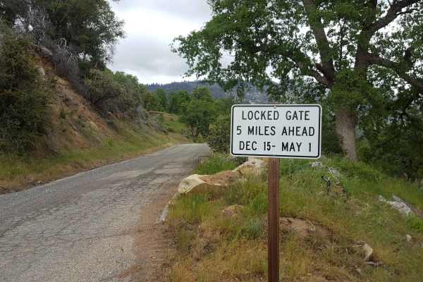
Peckinpah
Peckinpah Trail (FS Route 8S009) is a rugged backcountry route in the Sierra National Forest that challenges experienced offroaders with its rocky climbs and tight forested passages. Ideal for high-clearance 4WDs, dirt bikes, and ATVs, this technical trail offers a rewarding escape for those seeking...
Learn more about Peckinpah
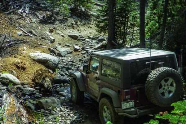
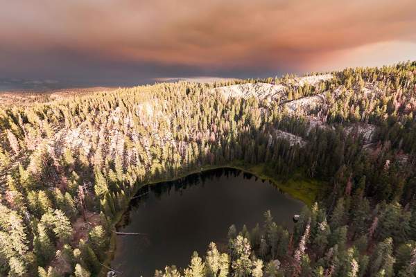
Strawberry Lake - FS 26E214
Strawberry Lake Trail (FS 26E314) is a trail that lures you in with a smile before baring its teeth. Departing from the Sand Flats Staging Area, the route begins deceptively mellow, offering a gentle warm-up as you cruise toward the intersection with the Mirror Lake Trail (FS 26E216). However, once ...
Learn more about Strawberry Lake - FS 26E214
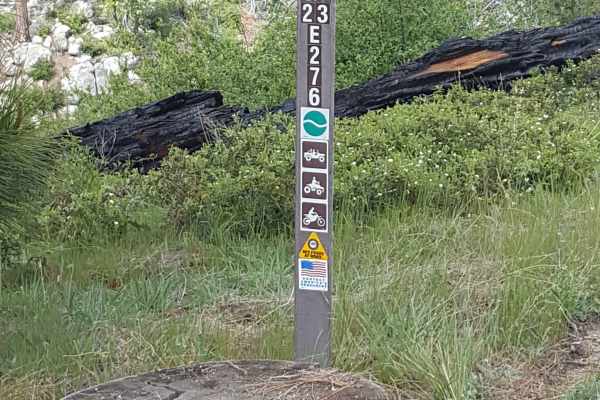
Pah - FS 23E276
This short trail is a single vehicle-width bypass off Peckinpah Road on the slope of Peckinpah Mountain. The surface is primarily dirt with embedded rocks and a short rocky ledge section. There can be shallow ruts and tight vegetation along the route. The trail can be traveled in either direction, b...
Learn more about Pah - FS 23E276
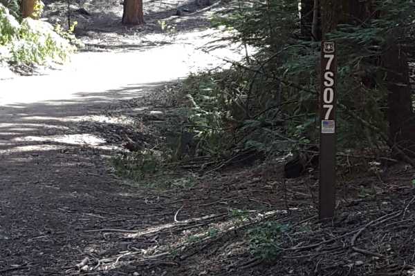
Fish Creek West - FS 7S007
This is a main FS road that will take you out towards Whiskey Ridge and through the Fish and Ross Creek areas, where you can access several other trailheads. Panoramic views of the surrounding forest are possible in sections of this route as it passes along the side of the mountain. The road is gene...
Learn more about Fish Creek West - FS 7S007
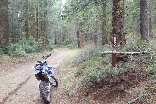
Peckinpah Meadow - FS 8S26
This is a point-to-point trail that creates a loop with Peckinpah Road. It runs past a large meadow area as well as along the mountainside, providing great scenic views of North Fork. The route is at least as wide as a full-size vehicle and has many wider areas allowing vehicles to pass each other e...
Learn more about Peckinpah Meadow - FS 8S26
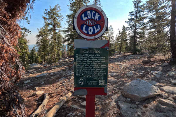
Mirror Lake - FS 22E216
Mirror Lake Trail (FS 26E216) is not just a trail; it is a reputation. Often cited as one of the hardest 4x4 trails in California, this high-alpine route is a hardcore test of machine and nerve. Branching off the Strawberry Lake Trail, the route lures you in with a mellow start before slamming you i...
Learn more about Mirror Lake - FS 22E216
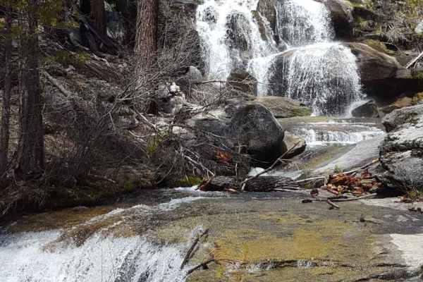
Whiskey Falls West - FS 8S70
This is a point-to-point route running from the main Peckinpah Road, past the Whiskey Falls campground and Whiskey Falls, and out into the Roush Creek area. The trail mostly consists of packed dirt, but also has short stretches of large gravel and asphalt/concrete where runoff water can be present. ...
Learn more about Whiskey Falls West - FS 8S70
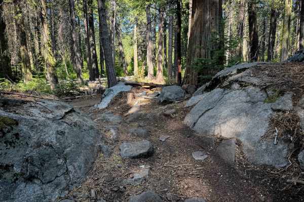
23E298
23E298 is a 1.1-mile-long easy ATV trail through the Whisky Falls trail system in the Sierra National Forest. The south end starts off wide and easy, between scrub oaks and tall pines, with gradual corners, great visibility, a little bit of whoops, but mostly smooth dirt covered in pinecones and pi...
Learn more about 23E298
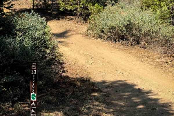
23E268
This is a short ATV trail that connects from the Forest Service road FS 8S065A up to 23E291. It starts off with a semi-steep climb from the southeast end, with loose rocks and shallow ruts, for the first hundred yards. Then it mellows out in grade, continuing with a steady, gradual climb for the res...
Learn more about 23E268
ATV trails near Shaver Lake, California
Explore ATV-friendly trails near you. These trails are accessible for vehicles up to 50 inches wide, perfect for ATVs and smaller off-road machines.
Rector Line 9S006
Rector Line (Forest Service Road 9S006) is a rugged backcountry route in the Sierra National Forest, best suited for high-clearance 4x4 rigs and seasoned drivers looking for a remote challenge near Shaver Lake. This trail stands out for its mix of decomposed granite, embedded rock, and steep, off-ca...
Learn more about Rector Line 9S006
Sugarloaf - FS 9S08
This is a point-to-point single vehicle-width trail in the Jose Creek Basin area. The surface is primarily packed dirt with short stretches of gravel. There can also be shallow ruts and mud holes frequently along the route. This trail will pass through both a section of forest with fire damage and a...
Learn more about Sugarloaf - FS 9S08
Jose Basin
This is the primary dirt road running through the Jose Creek Basin in the Sierra National Forest and connects the north end of Jose Basin Road to Auberry Road/Highway 168. It is wide enough in most places to allow vehicles to pass each other. Depending on the weather, there could be occasional muddy...
Learn more about Jose Basin
Plain - FS 26E211
Don't let the name fool you—Plain (FS 26E211) is anything but boring. This delightful connector trail serves as a scenic bridge between the popular Bald Mountain (FS 26E219) route and the more technical Basecamp (FS 26E328) trail. The drive is a quintessential High Sierra experience, featuring a dyn...
Learn more about Plain - FS 26E211
UTV/side-by-side trails near Shaver Lake, California
Find UTV and side-by-side trails near you. These trails accommodate vehicles up to 60 inches wide, ideal for UTVs, side-by-sides, and wider off-road rigs.
Rector Line 9S006
Rector Line (Forest Service Road 9S006) is a rugged backcountry route in the Sierra National Forest, best suited for high-clearance 4x4 rigs and seasoned drivers looking for a remote challenge near Shaver Lake. This trail stands out for its mix of decomposed granite, embedded rock, and steep, off-ca...
Learn more about Rector Line 9S006
Sugarloaf - FS 9S08
This is a point-to-point single vehicle-width trail in the Jose Creek Basin area. The surface is primarily packed dirt with short stretches of gravel. There can also be shallow ruts and mud holes frequently along the route. This trail will pass through both a section of forest with fire damage and a...
Learn more about Sugarloaf - FS 9S08
Jose Basin
This is the primary dirt road running through the Jose Creek Basin in the Sierra National Forest and connects the north end of Jose Basin Road to Auberry Road/Highway 168. It is wide enough in most places to allow vehicles to pass each other. Depending on the weather, there could be occasional muddy...
Learn more about Jose Basin
Plain - FS 26E211
Don't let the name fool you—Plain (FS 26E211) is anything but boring. This delightful connector trail serves as a scenic bridge between the popular Bald Mountain (FS 26E219) route and the more technical Basecamp (FS 26E328) trail. The drive is a quintessential High Sierra experience, featuring a dyn...
Learn more about Plain - FS 26E211
The onX Offroad Difference
onX Offroad combines trail photos, descriptions, difficulty ratings, width restrictions, seasonality, and more in a user-friendly interface. Available on all devices, with offline access and full compatibility with CarPlay and Android Auto. Discover what you're missing today!
Open Trail Map