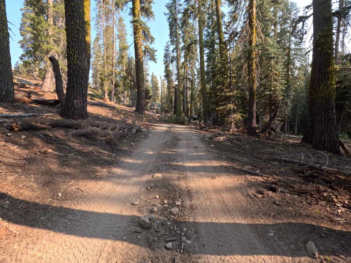
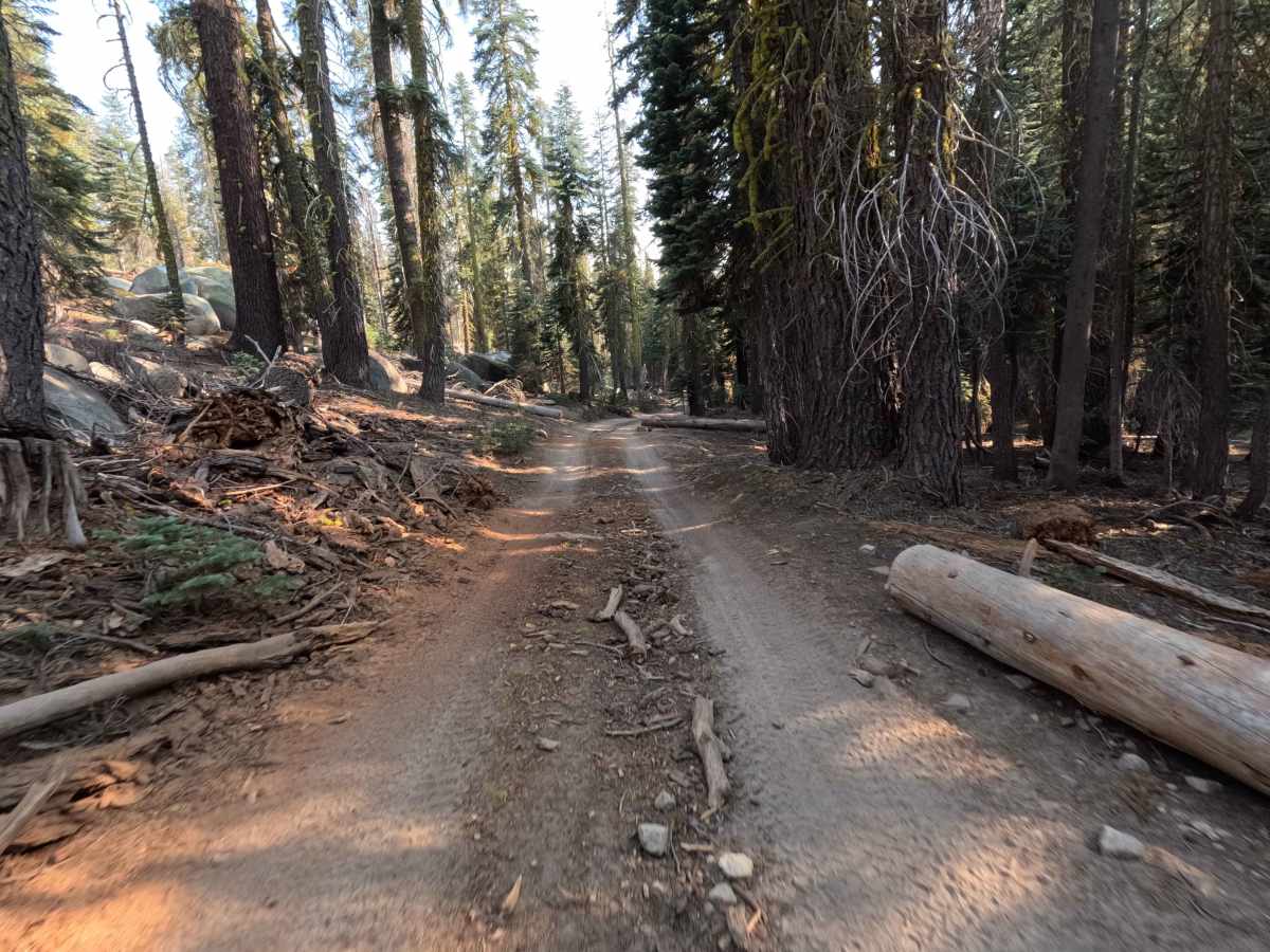
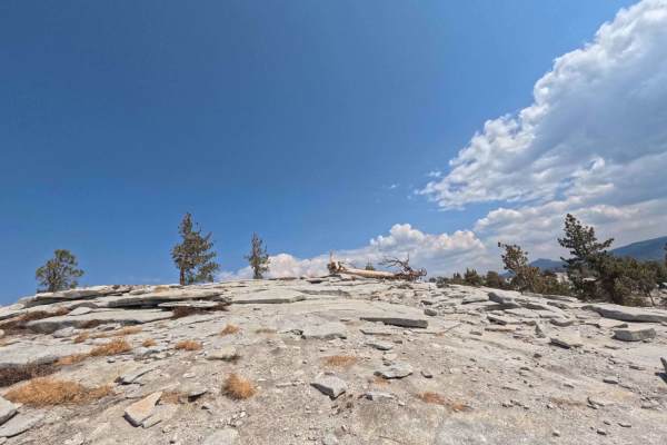
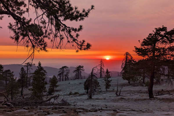
Trail Overview
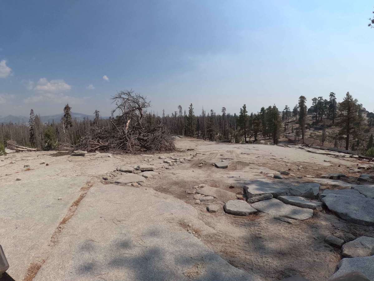
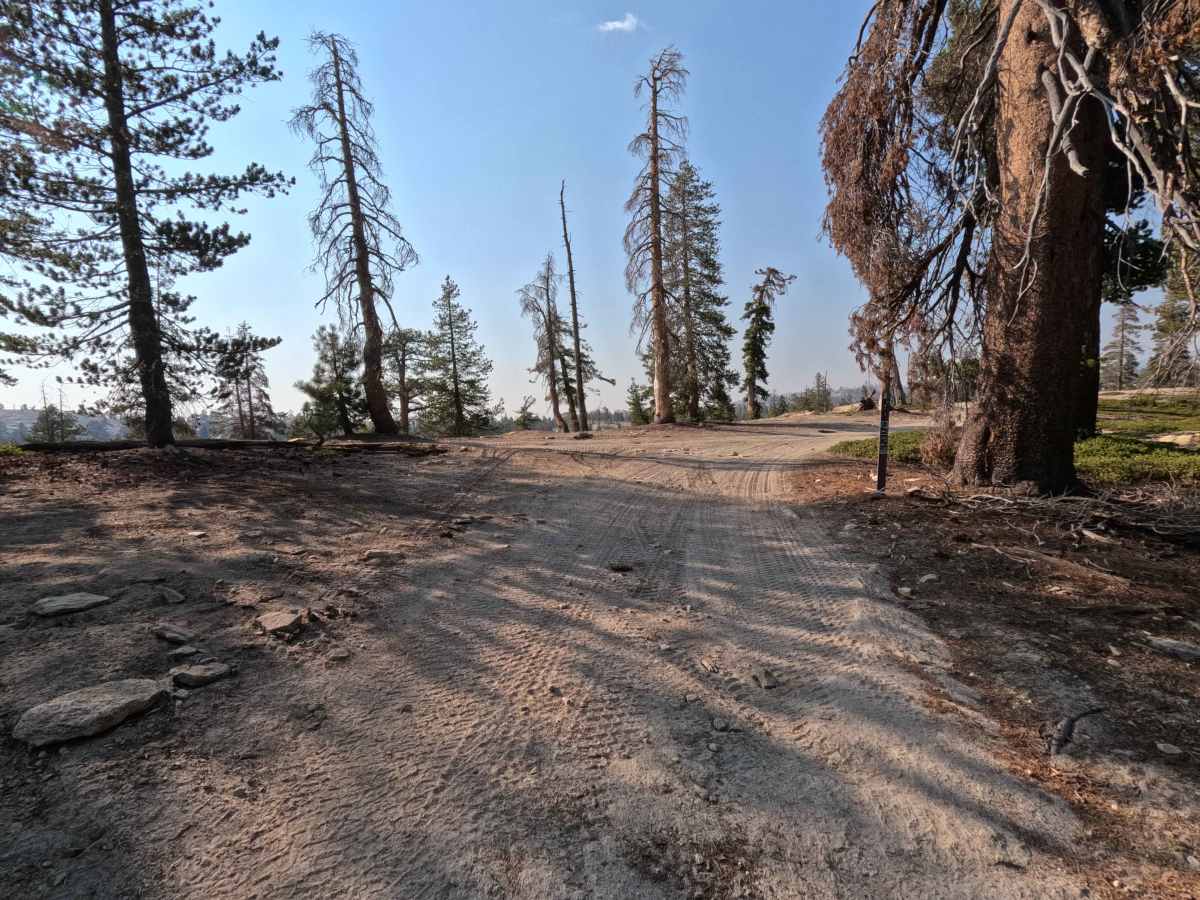
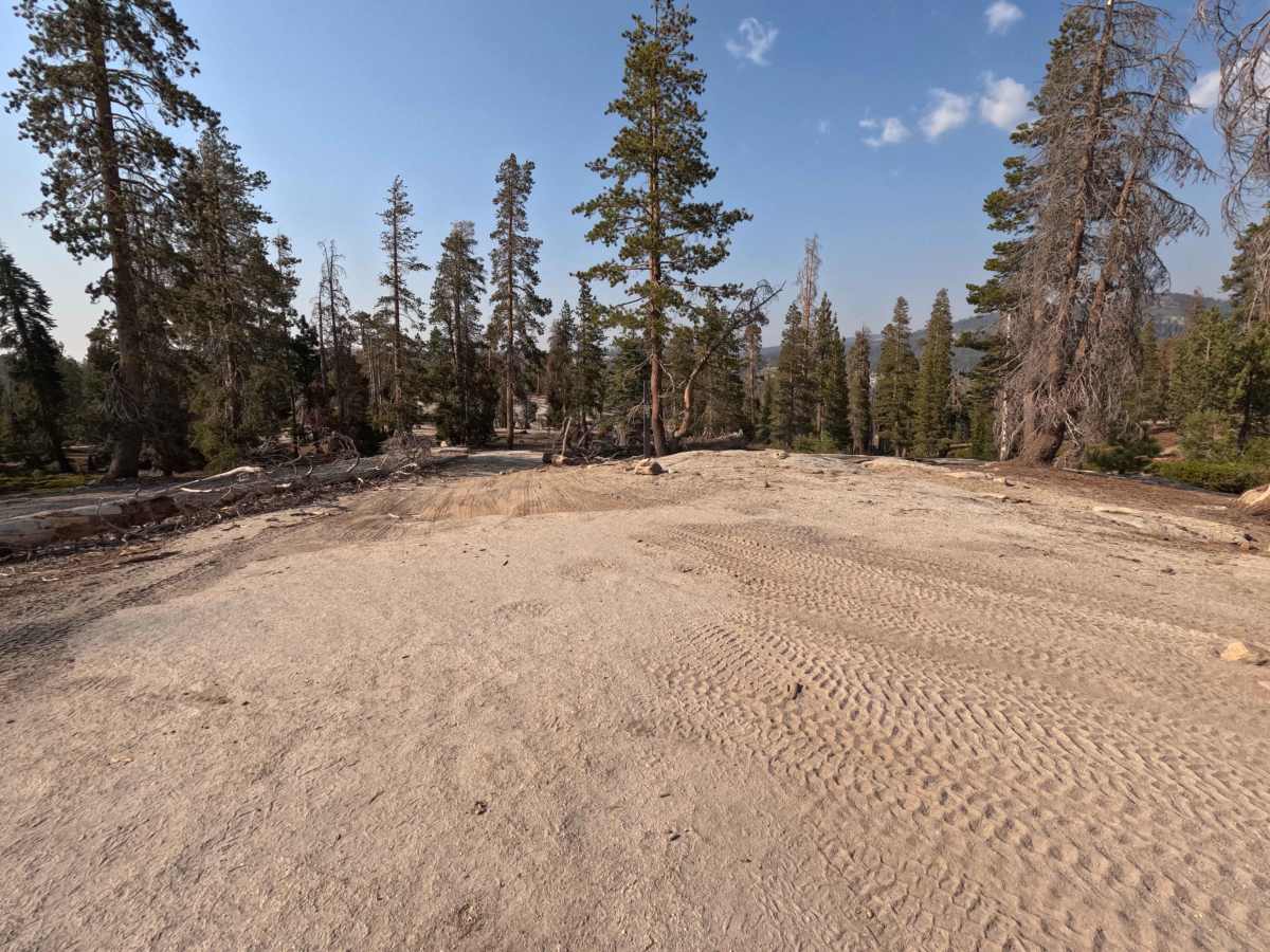
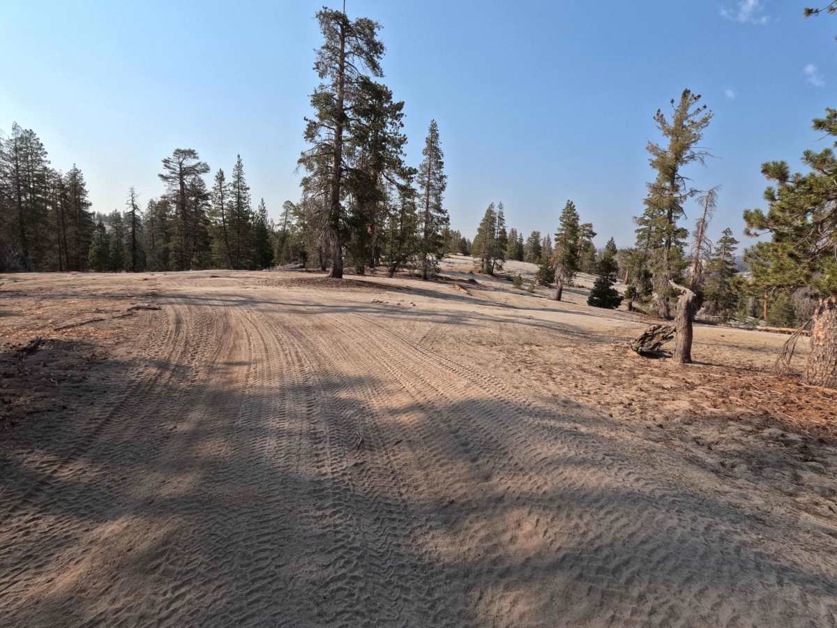
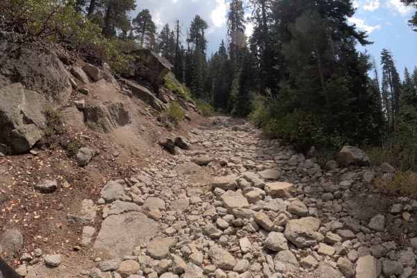
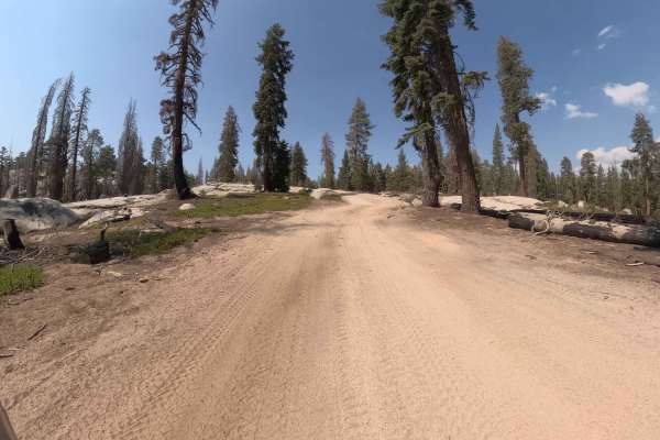
Bow Tie (FS 25E208) is a classic High Sierra connector that feels like a "greatest hits" album of the Bald Mountain region. Starting from Rock Creek Road, this trail winds south, linking up with Tower (FS 25E314) and eventually terminating at Plain (FS 25E315). The tread is that signature Sierra mix: soft, sandy decomposed granite (DG) packed down between sections of massive, grippy granite slabs. The drive is a scenic delight, weaving through a healthy forest of red fir and lodgepole pine before opening up onto expansive rock outcroppings that make you feel like you are driving on the moon. It isn't just a transit road; the flowy two-track offers fun, rhythmic driving with plenty of opportunities to stop at dispersed campsites or the stunning Granite Overlook for a panoramic lunch break. It captures the very best of the Shaver Lake backcountry in one accessible package. It is important to note that on the Forest Service MVUM maps, the first mile or so of this trail is labeled as Bow Tie (FS 9S002).
Difficulty
This trail is Rated 2 because it is slightly rougher than a graded gravel road but lacks significant obstacles. The primary challenge, and fun, comes from navigating the granite slabs and transitioning between dirt and rock. You might encounter small ledges, exposed roots, or erosion ruts up to 10 inches deep, but the traction on the granite is phenomenal. Any stock high-clearance 4x4 or capable AWD SUV with decent tires can enjoy this route without stress. It’s bumpy enough to keep you awake, but easy enough to relax and enjoy the views.