
Dirt Bike Trails
Near Santa Clara, Oregon
Explore All Dirt Bike Trails Near Santa Clara, Oregon
Dirt Bike Trails Near Santa Clara, Oregon
Discover the best dirt bike trails near you. Browse trail maps, check difficulty ratings, and find your next adventure — whether you're looking for a quick ride or an all-day expedition.
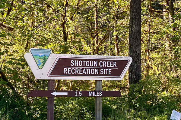
Shotgun to McGowan - Mainline
This is a great weekend drive. Go north on Marcola Road out of Springfield. Shotgun Creek Road is on the left just after you pass the covered bridge. Head up to the fork and take a right towards Crooked Creek Staging Area where you will head straight until you reach FS 15-2-24, as you head up the hi...
Learn more about Shotgun to McGowan - Mainline
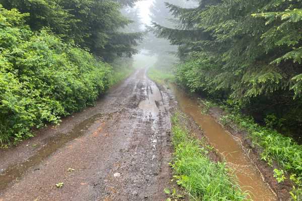
Prairie Peak
Prairie Peak is located on BLM land outside of Triangle Lake, Oregon. The area is a system of trails and dirt roads that wind their way up to a broadcast tower at the peak that can make for some easy riding and great scenic views. The trail leading up to the peak is a somewhat maintained dirt road w...
Learn more about Prairie Peak
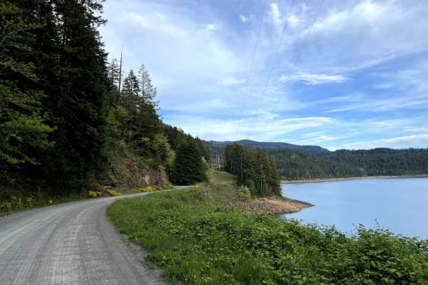
Lookout Point Trail
Lookout Point Trail, also known as Forest Road 5821 (NF-5821), is an easy and scenic 14.3-mile dirt route running along the north side of Lookout Point Lake, making it an ideal option for beginners, scenic cruisers, and standard vehicles seeking an alternative to Willamette Highway 58. Traveling thr...
Learn more about Lookout Point Trail
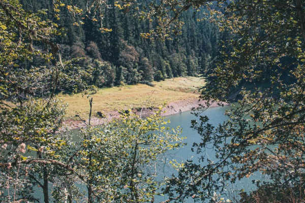
Goodman Creek
Goodman Creek is a typically unmaintained one-lane gravel road with turnouts that runs through the Willamette National Forest, there is a chance of fallen trees in this area. The road has three hiking trails Eagles Rest Trailhead Lower, Goodman Creek Falls, and Lost Creek Trailhead. The end of the t...
Learn more about Goodman Creek
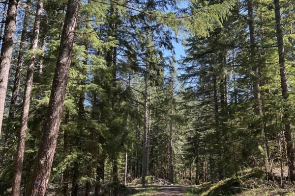
Timber Butte
This is the first trail you hit coming in from the west side of Big Fall Creek Road. This is an easy logging road that is quite windy at the beginning. Smooth riding on this road, but currently you need to watch out for equipment. I had to backtrack and take another route in May and finish this trai...
Learn more about Timber Butte
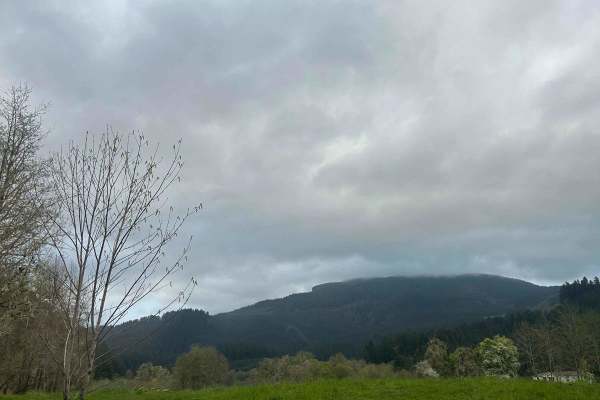
Mary's Peak to Harlan
The first mile to mile and a half is full of potholes, then it smooths out. There are dispersed camping spots along the way along with a couple of streams and views when it opens up. Throughout the trail, there are offshoots for further exploration. Winter travel is not recommended due to high pileu...
Learn more about Mary's Peak to Harlan
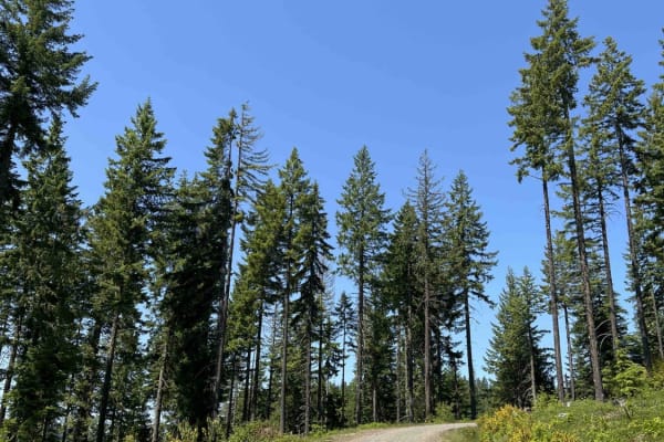
Rubble Creek
Beginning off of Big Fall Creek Road on the north, this easy trail passes a couple of homes on the way in. As you ascend more than 2500 feet, you pass through a small burn area. This road has obviously been used for timber harvest, with some areas cleared out for equipment and staging. The length of...
Learn more about Rubble Creek
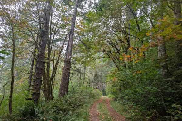
FS 3200672
This forest trail is user-maintained and doesn’t seem to get much use. The route begins on a hard gravel surface and eventually softens, with plenty of brush, trees, and undergrowth along the way. Expect significant pinstriping, as vegetation grows close to the trail, along with numerous potholes. D...
Learn more about FS 3200672
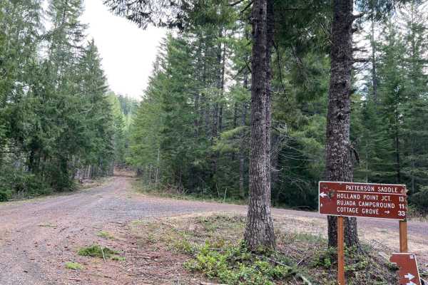
Mid Coast Ridge
This trail segment began at the intersection of Patterson Mountain, "Surprise" and Layng Creek-Patterson, which straddles the divide between Umpqua National Forest and Willamette National Forest. The trail winds over Patterson Saddle and alongside Patterson Mountain, and if you elect to take a spur ...
Learn more about Mid Coast Ridge
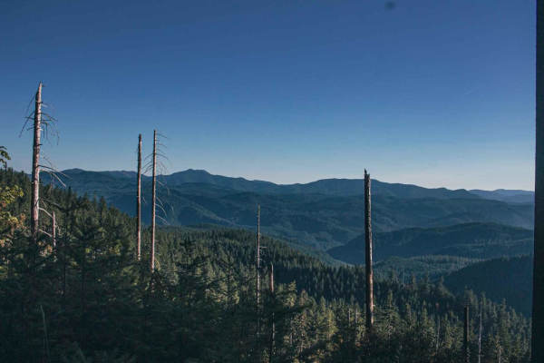
Surprise
Surprise is a short, challenging off-road route in the Willamette National Forest designed for drivers of short-wheelbase four-wheel-drive vehicles and SxSs seeking a tight, forested adventure. Stretching approximately 1.7 miles, this narrow, single-lane dirt trail climbs from an elevation of 3,231 ...
Learn more about Surprise

Patterson Mountain
When entering Patterson Mountain Road from Highway 58 in the beginning, there is a dirt bike trail that runs across the road called Lawler #3473 Trail. Keep an eye out for riders. This road runs through the Willamette National Forest and is very easy gravel riding, but it can be twisty with blind co...
Learn more about Patterson Mountain
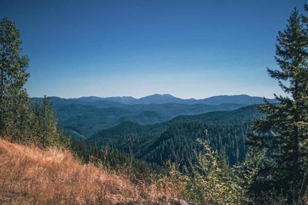
June Mountain
June Mountain road runs through Umpqua National Forest, it is a mix of gravel and natural surfaces. There is a potential for multiple downed trees, some of which hang over the road, making it not possible for a taller vehicle to fit without a chainsaw and some sections of this road can be steep, win...
Learn more about June Mountain
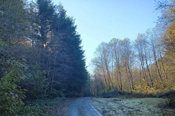
Missouri Tie
Missouri Tie is a 5-mile unpaved route winding through the Siuslaw National Forest along the Lincoln and Benton County border. The narrow corridor is heavily overgrown with dense coastal foliage, making vehicle pinstriping highly likely.
The trail has a low technical difficulty rating of 2, requiri...
Learn more about Missouri Tie
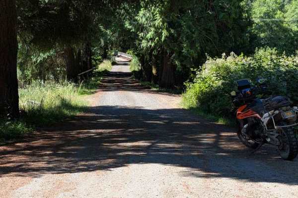
FS 3415
This road is accessed directly from Highway 34, but there are no signs marking its beginning. The road is easy, but it becomes overgrown fairly quickly, with encroaching vegetation and some low-hanging branches. From the Motor Vehicle Use Map, it is open to all classes of vehicles, but paint scratch...
Learn more about FS 3415
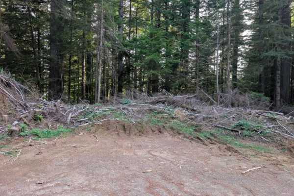
FS 5840634
This interesting trail is a well-maintained former logging road that has been cleared and remains relatively easy to navigate aside from several significant obstacles. The biggest concern is a series of excessively large, deep drainage dips, or speed-control humps. These are much more aggressive tha...
Learn more about FS 5840634
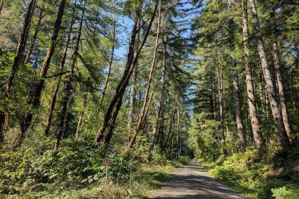
FS 2170000
This well-maintained gravel trail climbs through a mountain pass, reaching about 1,500 feet before descending to around 143 feet. The route has a beautiful mix of elevation changes and offers a scenic drive through the surrounding area. Watch for rockfall and use caution around the numerous bends an...
Learn more about FS 2170000
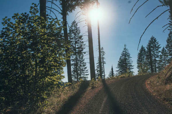
Laying Creek -Patternson
Laying Creek - Patternson road is a very easy smooth two-car wide gravel road, that is typically unmaintained. There are sections of the road that can get steep, but it is still doable for a 2wd vehicle in good weather. The road runs through Umpqua National Forest and there is access to Spirit Falls...
Learn more about Laying Creek -Patternson
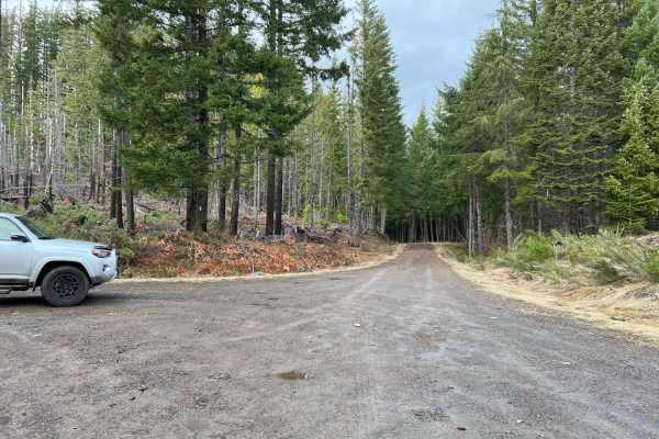
Deception Butte
This trail spans between the Mid Coast Ridge trail and the Kruger Rock Road Trail. The south end, near Mid Coast Ridge and Fivepoint Hill, sports the highest elevation, dropping steadily for about 1000' before meeting up with Kruger. No extreme inclines are present, and the trail is a mix of gravel ...
Learn more about Deception Butte
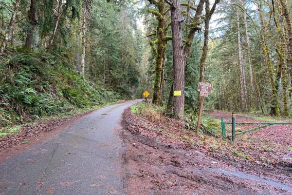
Kruger Rock Road
This trail begins near the highway and Shady Dell Campground. The first couple hundred yards are paved, turning to fairly smooth gravel for the remainder, with the occasional pothole to avoid. Although there is a large climb in elevation, the trail is gradual and does not have any overly steep sect...
Learn more about Kruger Rock Road
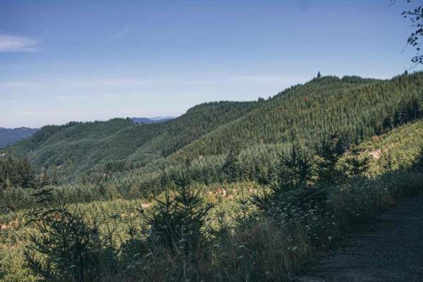
Sugar Loaf
Sugar Loaf is an approachable yet scenic gravel route through the Siuslaw National Forest and private timberlands, making it a perfect drive for beginners, high-clearance four-wheel-drive vehicles, and SxSs seeking sweeping forest views. Spanning approximately 3.7 miles, this easy-rated trail climbs...
Learn more about Sugar Loaf
ATV trails near Santa Clara, Oregon
Explore ATV-friendly trails near you. These trails are accessible for vehicles up to 50 inches wide, perfect for ATVs and smaller off-road machines.
Shotgun to McGowan - Mainline
This is a great weekend drive. Go north on Marcola Road out of Springfield. Shotgun Creek Road is on the left just after you pass the covered bridge. Head up to the fork and take a right towards Crooked Creek Staging Area where you will head straight until you reach FS 15-2-24, as you head up the hi...
Learn more about Shotgun to McGowan - Mainline
Prairie Peak
Prairie Peak is located on BLM land outside of Triangle Lake, Oregon. The area is a system of trails and dirt roads that wind their way up to a broadcast tower at the peak that can make for some easy riding and great scenic views. The trail leading up to the peak is a somewhat maintained dirt road w...
Learn more about Prairie Peak
Lookout Point Trail
Lookout Point Trail, also known as Forest Road 5821 (NF-5821), is an easy and scenic 14.3-mile dirt route running along the north side of Lookout Point Lake, making it an ideal option for beginners, scenic cruisers, and standard vehicles seeking an alternative to Willamette Highway 58. Traveling thr...
Learn more about Lookout Point Trail
Goodman Creek
Goodman Creek is a typically unmaintained one-lane gravel road with turnouts that runs through the Willamette National Forest, there is a chance of fallen trees in this area. The road has three hiking trails Eagles Rest Trailhead Lower, Goodman Creek Falls, and Lost Creek Trailhead. The end of the t...
Learn more about Goodman Creek
UTV/side-by-side trails near Santa Clara, Oregon
Find UTV and side-by-side trails near you. These trails accommodate vehicles up to 60 inches wide, ideal for UTVs, side-by-sides, and wider off-road rigs.
Shotgun to McGowan - Mainline
This is a great weekend drive. Go north on Marcola Road out of Springfield. Shotgun Creek Road is on the left just after you pass the covered bridge. Head up to the fork and take a right towards Crooked Creek Staging Area where you will head straight until you reach FS 15-2-24, as you head up the hi...
Learn more about Shotgun to McGowan - Mainline
Prairie Peak
Prairie Peak is located on BLM land outside of Triangle Lake, Oregon. The area is a system of trails and dirt roads that wind their way up to a broadcast tower at the peak that can make for some easy riding and great scenic views. The trail leading up to the peak is a somewhat maintained dirt road w...
Learn more about Prairie Peak
Lookout Point Trail
Lookout Point Trail, also known as Forest Road 5821 (NF-5821), is an easy and scenic 14.3-mile dirt route running along the north side of Lookout Point Lake, making it an ideal option for beginners, scenic cruisers, and standard vehicles seeking an alternative to Willamette Highway 58. Traveling thr...
Learn more about Lookout Point Trail
Goodman Creek
Goodman Creek is a typically unmaintained one-lane gravel road with turnouts that runs through the Willamette National Forest, there is a chance of fallen trees in this area. The road has three hiking trails Eagles Rest Trailhead Lower, Goodman Creek Falls, and Lost Creek Trailhead. The end of the t...
Learn more about Goodman Creek
The onX Offroad Difference
onX Offroad combines trail photos, descriptions, difficulty ratings, width restrictions, seasonality, and more in a user-friendly interface. Available on all devices, with offline access and full compatibility with CarPlay and Android Auto. Discover what you're missing today!
Open Trail Map