FS 5840634

Total Miles2
Technical Rating
2Easy
Best TimeSpring, Summer, Fall
Trail TypeFull-Width Road
Accessible By
Open Trail Map

Trail Overview

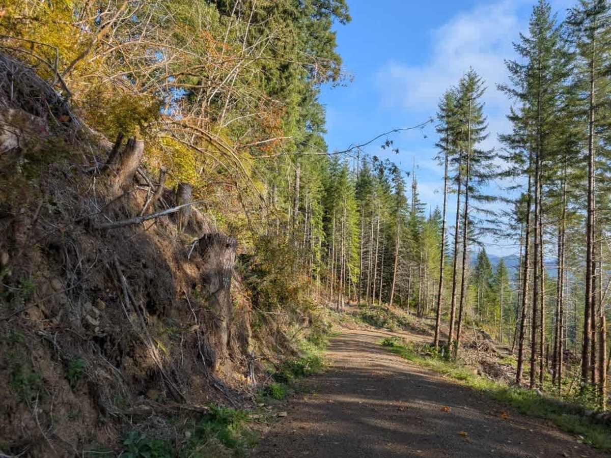
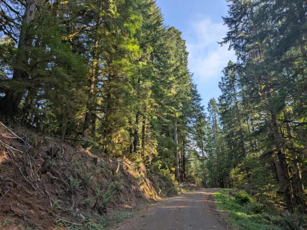
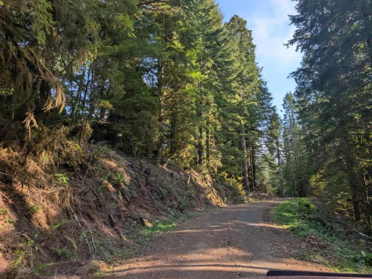
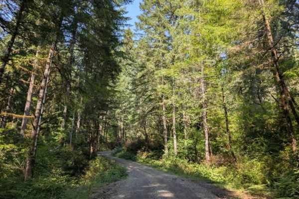
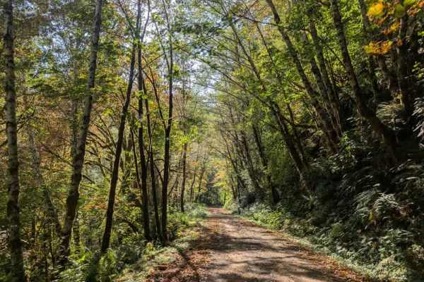
This interesting trail is a well-maintained former logging road that has been cleared and remains relatively easy to navigate aside from several significant obstacles. The biggest concern is a series of excessively large, deep drainage dips, or speed-control humps. These are much more aggressive than typical speed bumps and require a high-clearance vehicle to navigate safely. Low-clearance vehicles and normal sedans will not make it through without risking damage to the suspension or undercarriage. Thankfully, blue-and-white striped ribbons mark the larger dips and humps along the route, making them easier to spot ahead of time, and red ribbons indicate other hazards or obstacles ahead. A fallen tree also crosses one of the marked obstacles, so use extra caution when approaching this section. The trail descends steeply for most of its length, continuing downhill to the end of the route. ATVs, UTVs, Side-by-Sides, and Dirt Bikes must always have a valid Oregon ATV Operating Permit sticker.

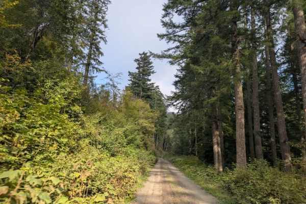
Photos of FS 5840634

Difficulty

Large, deep drainage dips make this a challenging trail requiring a high-clearance vehicle.

Technical Rating

2

FS 5840634 Trail can be accessed by the following ride types:

  • Single Track
  • 50 Inch
  • 60 Inch
  • High Clearance
  • Full Width

FS 5840634 Map

The onX Offroad Difference

onX Offroad combines trail photos, descriptions, difficulty ratings, width restrictions, seasonality, and more in a user-friendly interface. Available on all devices, with offline access and full compatibility with CarPlay and Android Auto. Discover what you're missing today!

Open Trail Map