Trail Overview
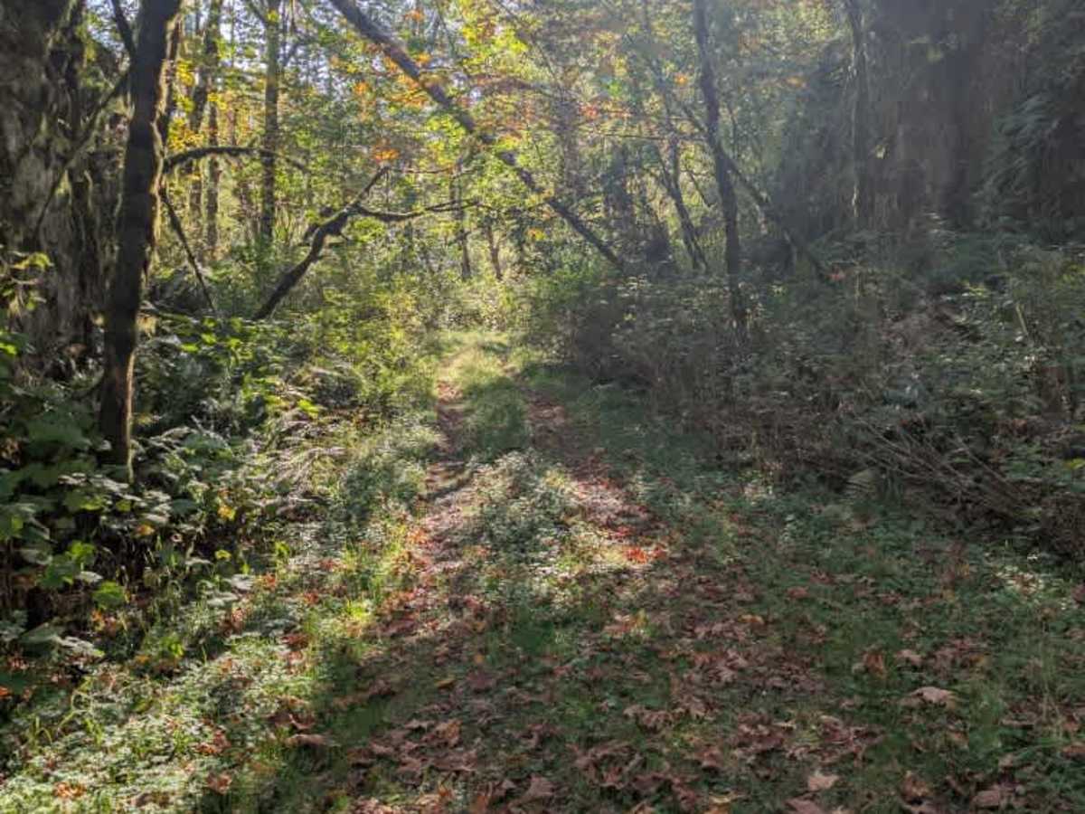
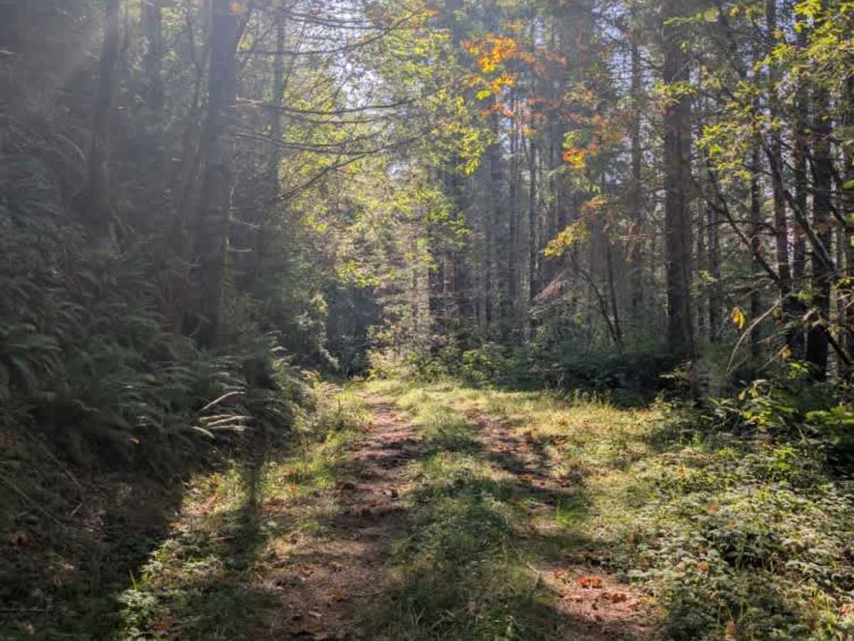
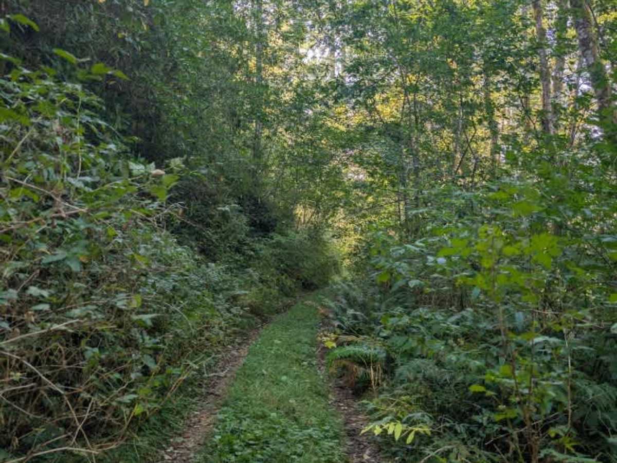
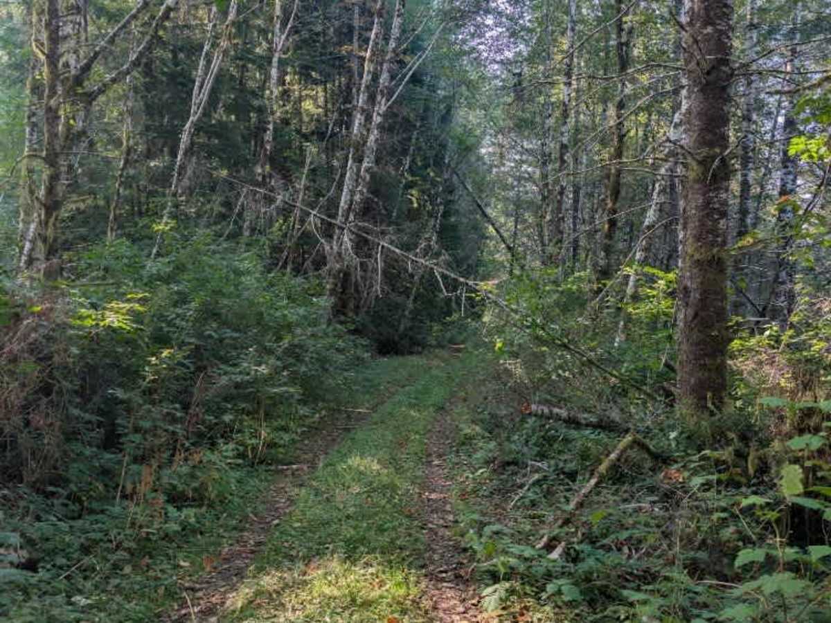
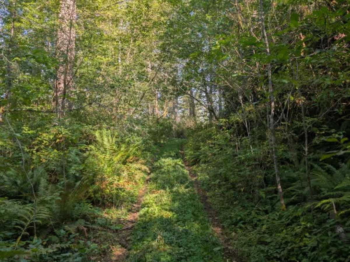
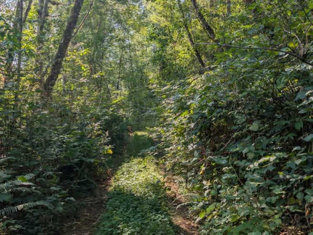
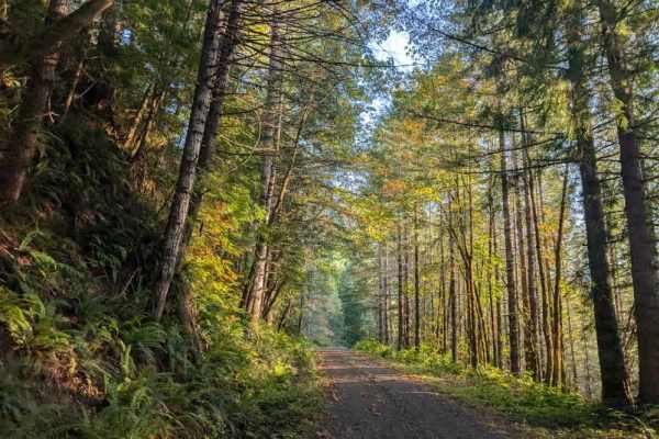
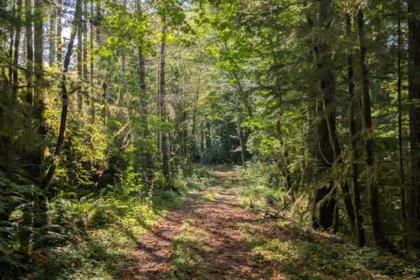
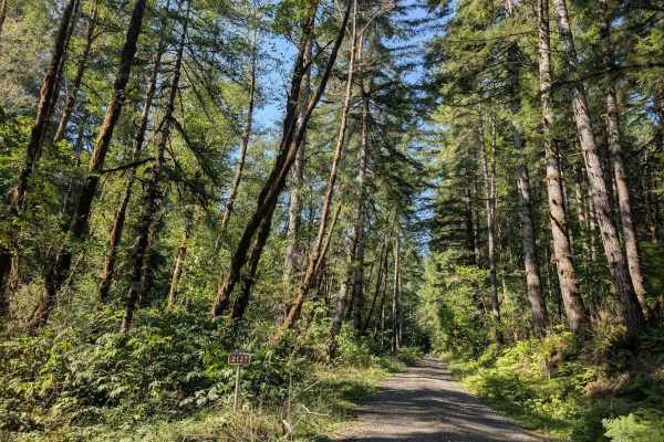
This hilly trail follows the ridgeline along one of the mountain’s branches, winding through a lush, wet forest. The route has some minor ruts, but overgrowth is the main factor limiting access. Thick vegetation and numerous fallen trees hang over the roadway, with some suspended between other trees and the ground, making the trail too tight for larger vehicles. The route continues to an intersection with another road, where it effectively ends shortly afterward. The final section could not be accessed during the visit because a parked vehicle blocked the remaining roadway at the intersection. Even without this obstruction, the trail becomes extremely tight near the end. With its narrow travel path, heavy vegetation, and overhanging trees, this route suits smaller vehicles better. ATVs, UTVs, Side-by-Sides, and Dirt Bikes must always have a valid Oregon ATV Operating Permit sticker.