FS 2570000

Total Miles6.2
Technical Rating
1Easy
Best TimeSpring, Summer, Fall
Trail TypeFull-Width Road
Accessible By
Open Trail Map

Trail Overview

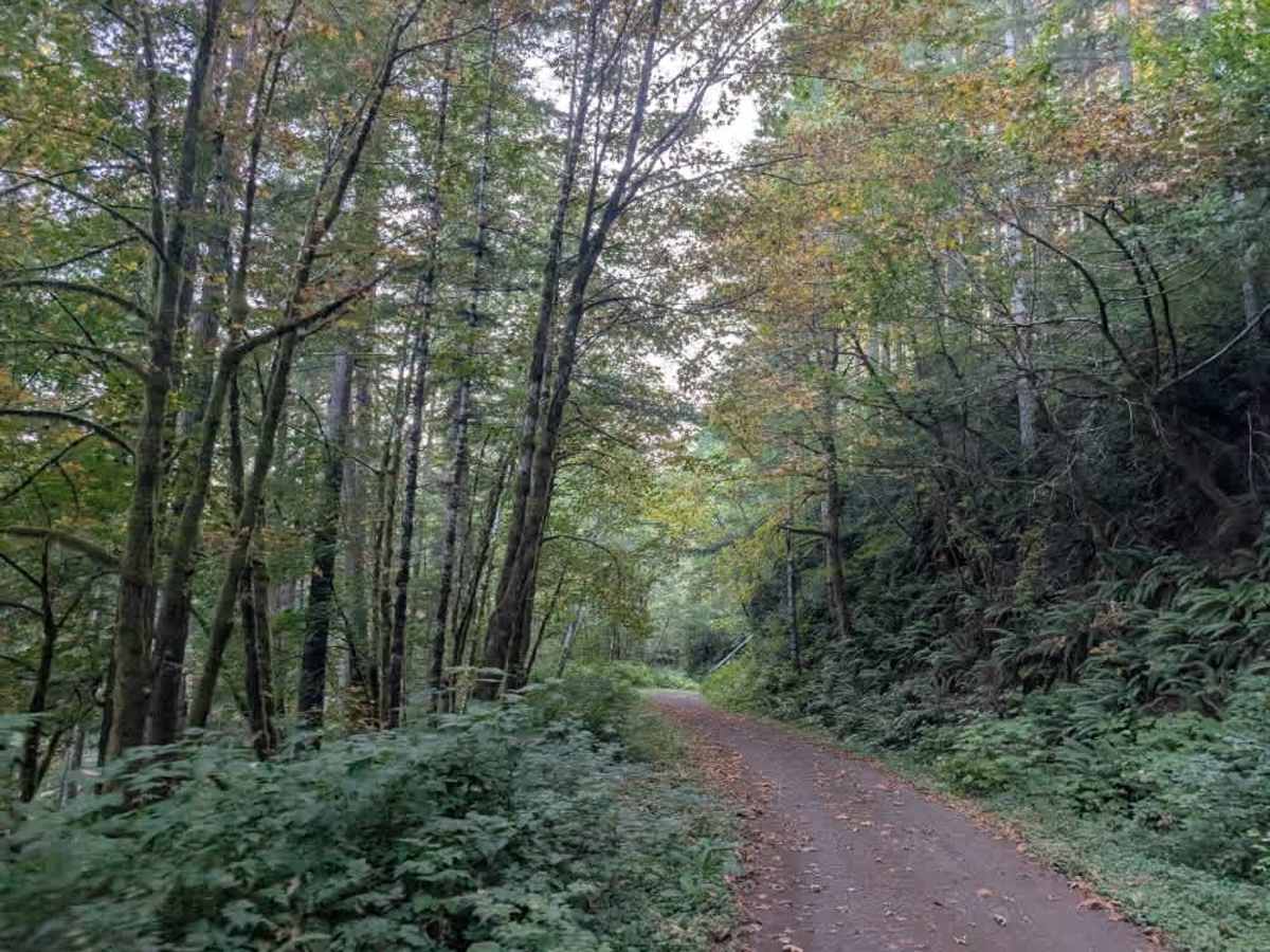
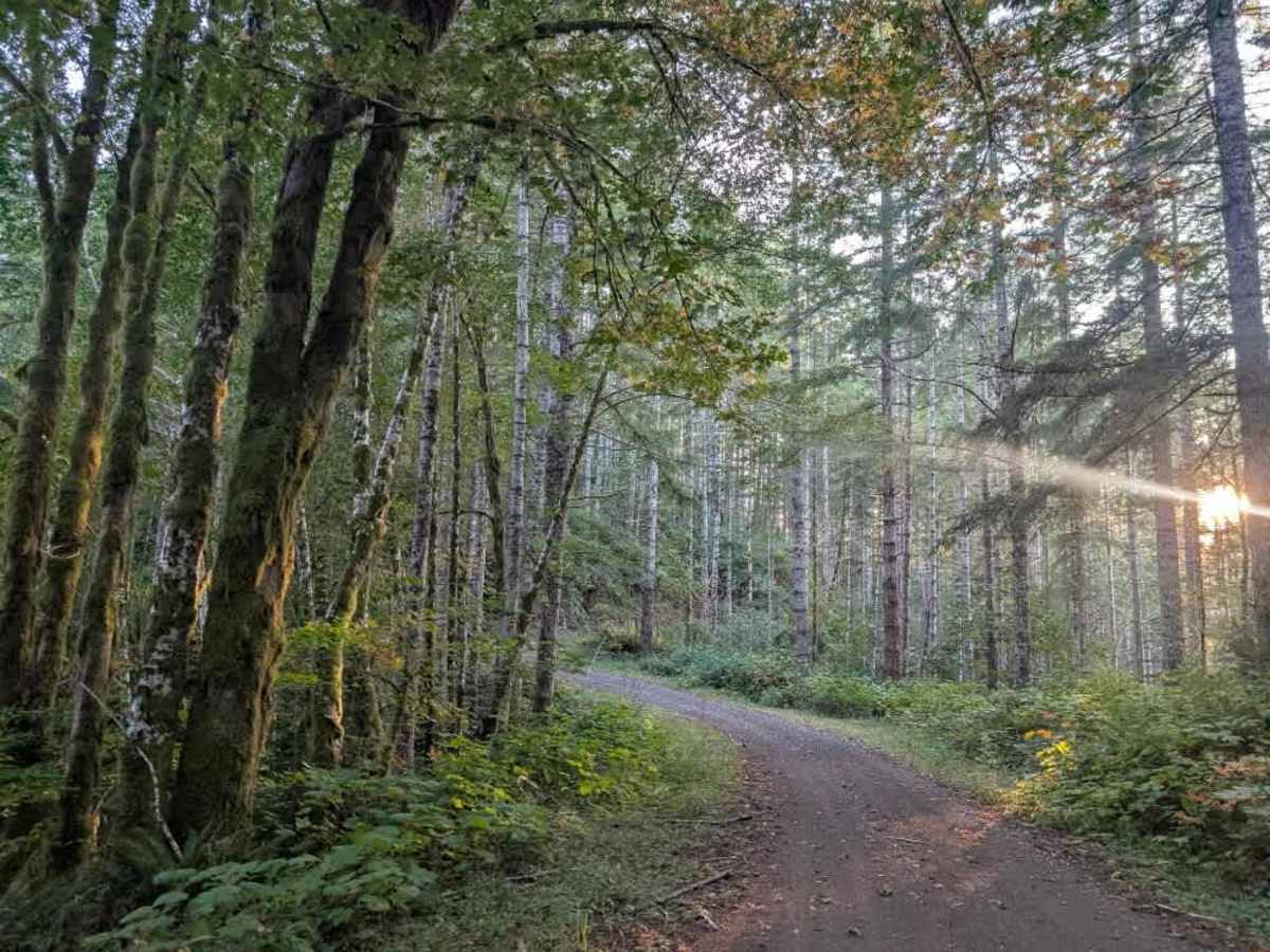
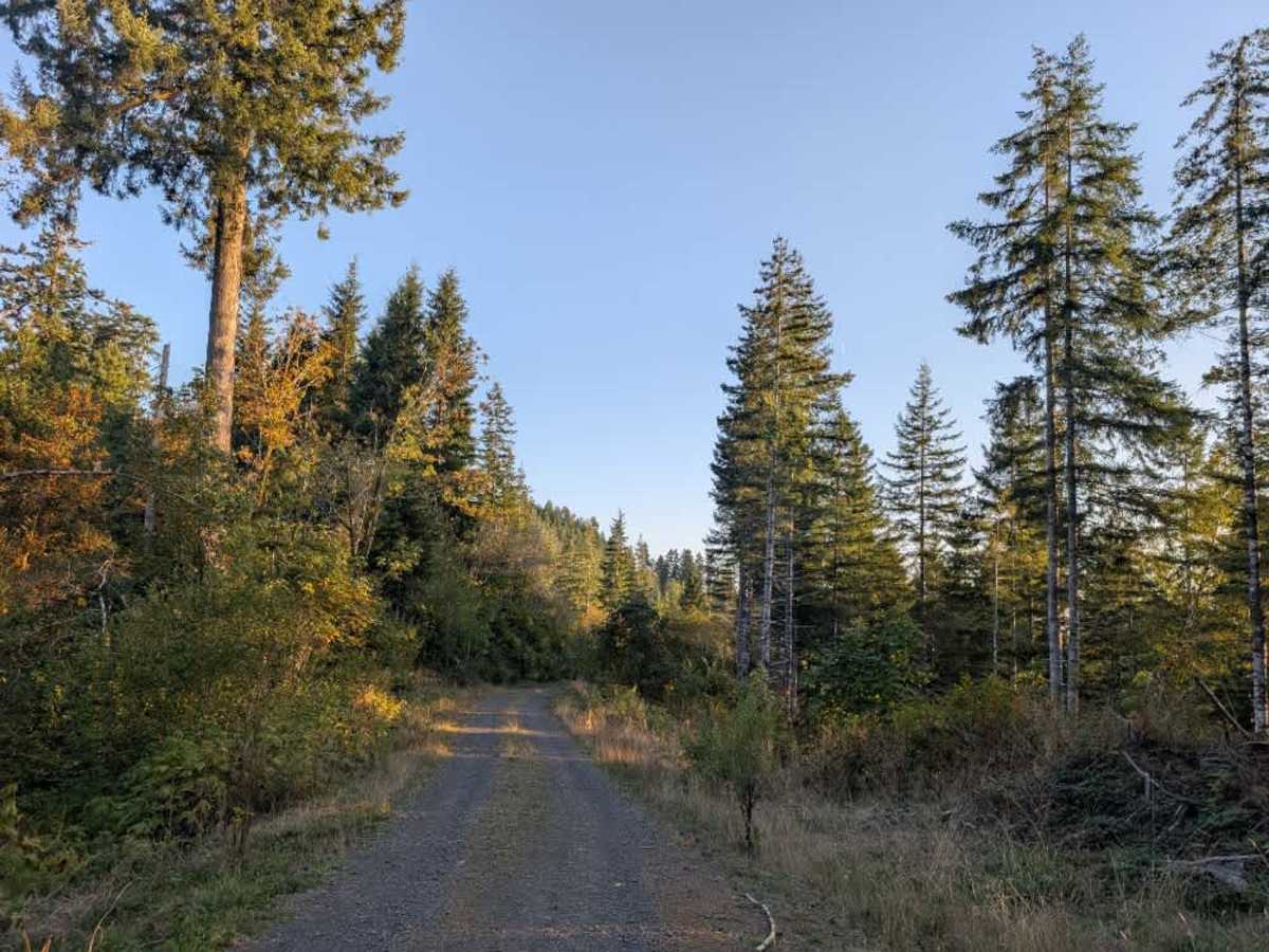
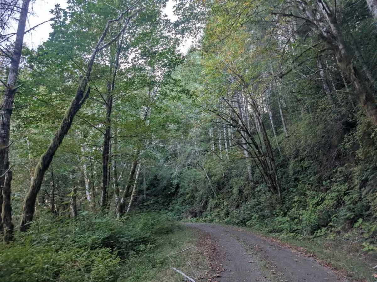
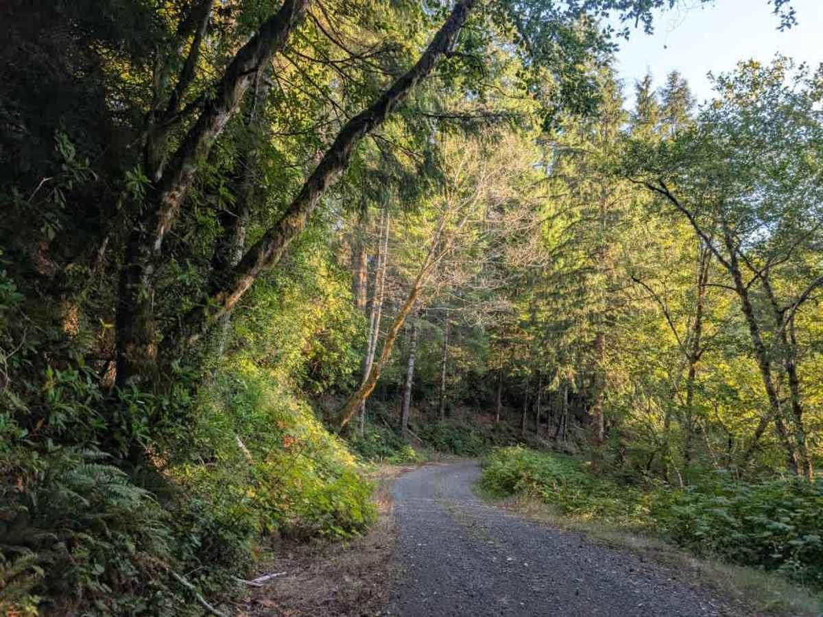
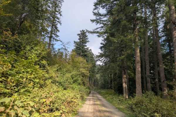
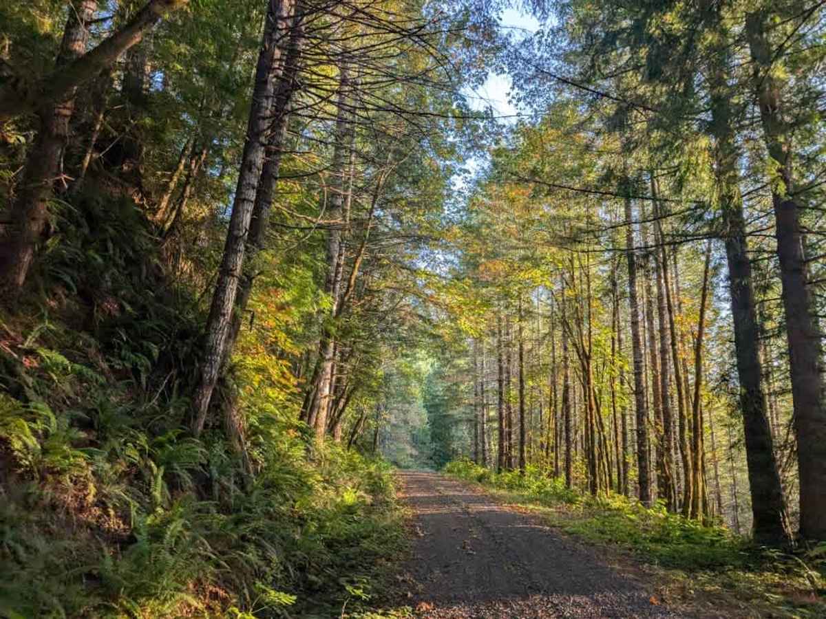
This beautiful trail winds through the mountains with a series of steep inclines and declines, particularly when approaching from the north. The route climbs up the mountain, descends, and then climbs again, continuing through the forest with plenty of elevation changes along the way. The scenery is especially beautiful when the leaves begin changing color in the fall. Recent storm damage has left some trees overhanging the road, but most affected areas have been cleared, and the route remains passable. The road also has numerous curves, corners, blind spots, and a couple of switchbacks, so use caution and maintain a manageable speed throughout the drive. Logging trucks reportedly use this road, although none were encountered during the trip, but please still watch for work vehicles and other traffic. Bears are present in the area, so use extra caution when traveling by quad or SxS and be aware of your surroundings. ATVs, UTVs, Side-by-Sides, and Dirt Bikes must always have a valid Oregon ATV Operating Permit sticker.

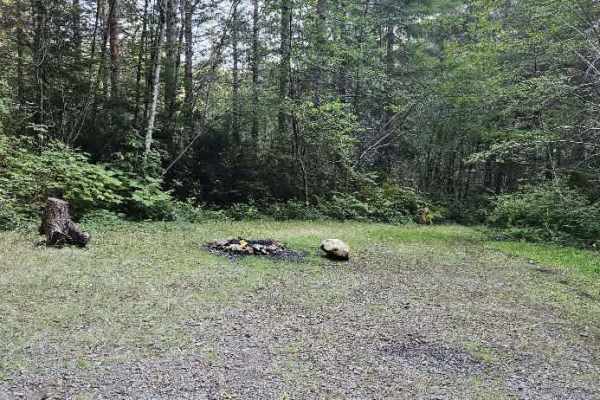
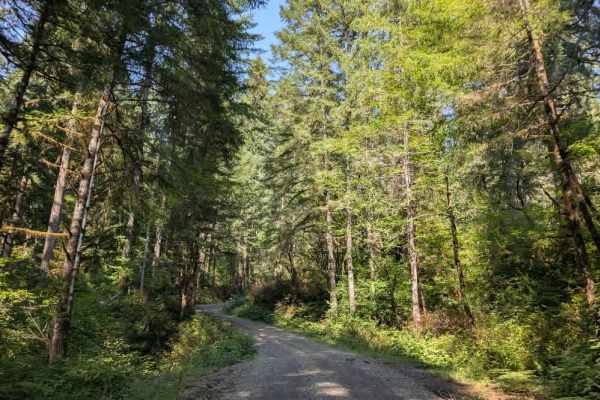
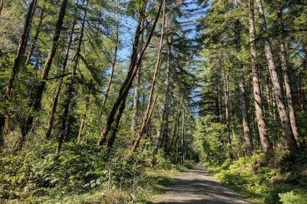
Photos of FS 2570000

Difficulty

The trail is generally manageable, with steep elevation changes and winding sections requiring extra attention.

Technical Rating

1

FS 2570000 Trail can be accessed by the following ride types:

  • High Clearance
  • Full Width

FS 2570000 Map

The onX Offroad Difference

onX Offroad combines trail photos, descriptions, difficulty ratings, width restrictions, seasonality, and more in a user-friendly interface. Available on all devices, with offline access and full compatibility with CarPlay and Android Auto. Discover what you're missing today!

Open Trail Map