FS 2570778

Total Miles1.4
Technical Rating
2Easy
Best TimeSpring, Summer, Fall
Trail TypeFull-Width Road
Accessible By
Open Trail Map

Trail Overview

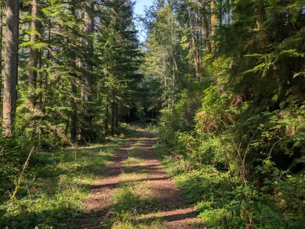
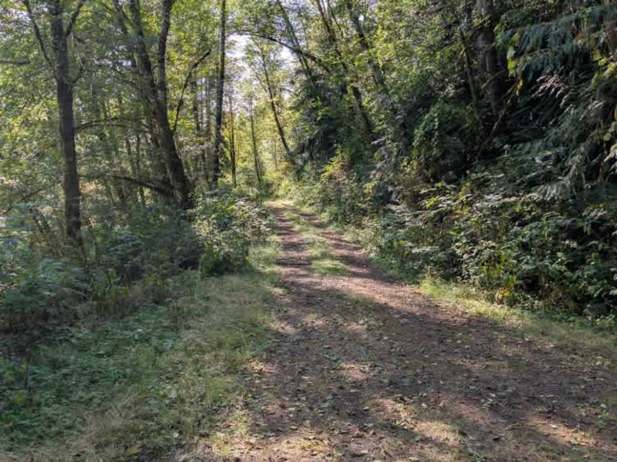
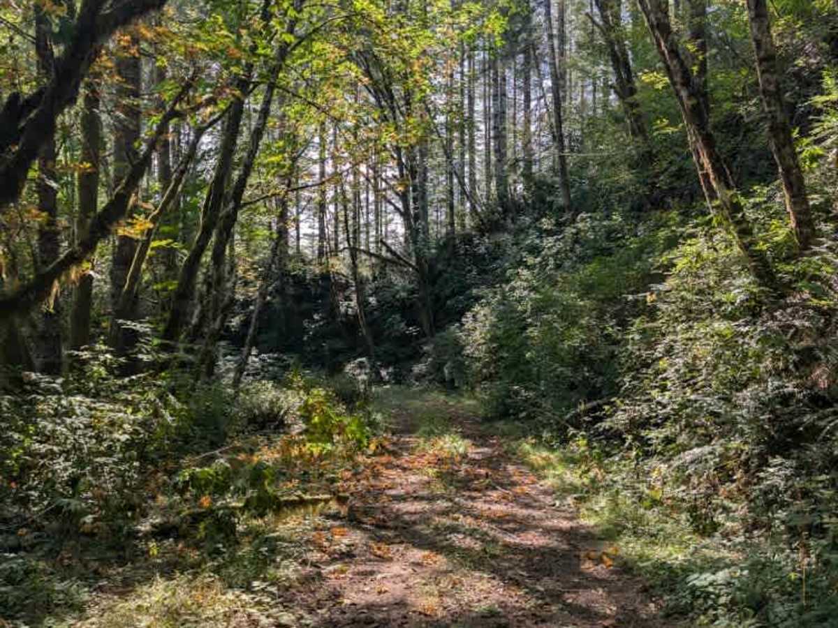
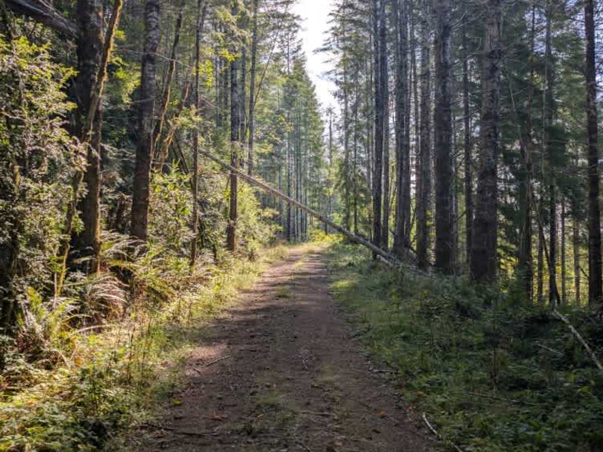
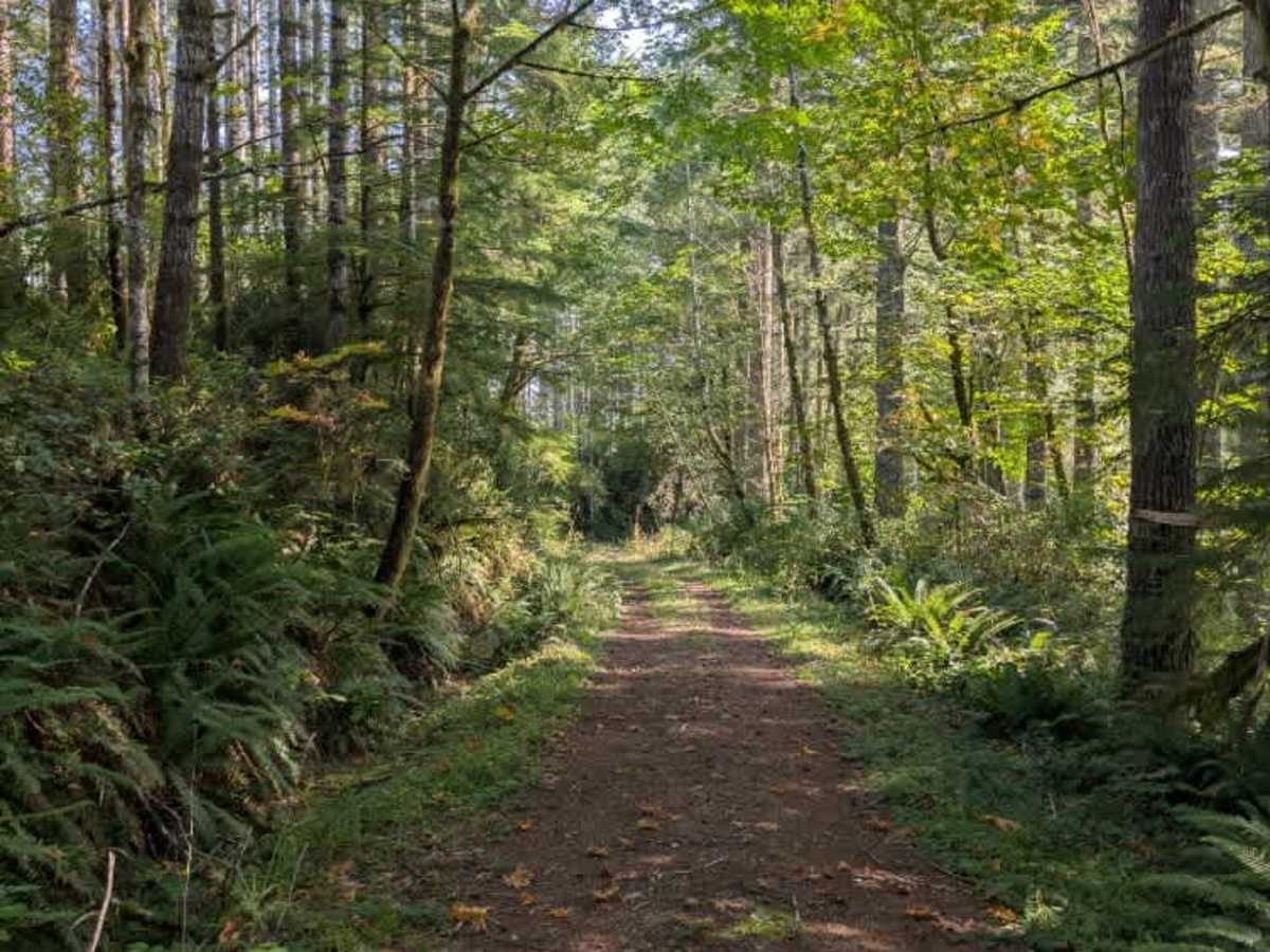
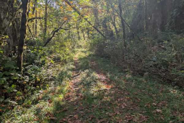
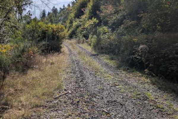
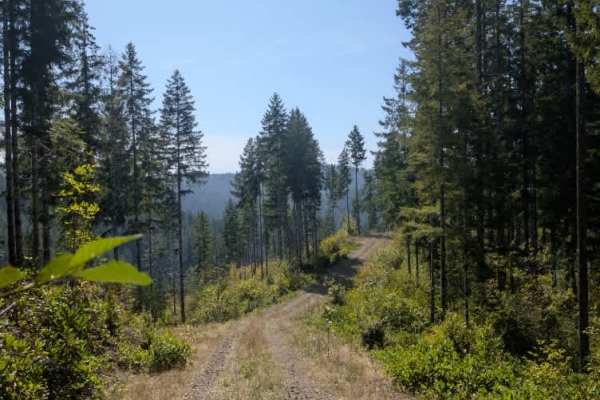
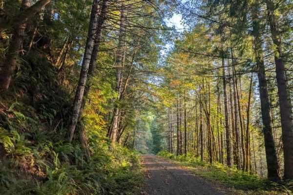
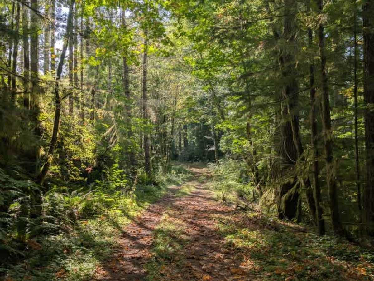
This non-maintained gravel road has a relatively clear travel path, but numerous fallen trees and overhanging branches make access increasingly difficult. A few suspended trees could be passed under, allowing the route to continue farther toward the end, but full-size vehicles, including sedans, 4x4s, and trucks, cannot get through the tighter sections. The road has some minor ruts and uneven terrain, but the fallen trees are the primary obstacle. The trail becomes completely overgrown and ends roughly 20 meters before the mapped endpoint, where another fallen tree blocks further travel. It is important to note that dispersed camping is not permitted along this trail. ATVs, UTVs, Side-by-Sides, and Dirt Bikes must always have a valid Oregon ATV Operating Permit sticker.

Photos of FS 2570778

Difficulty

The increasingly overgrown trail and fallen trees make access more challenging.

Technical Rating

2

FS 2570778 Trail can be accessed by the following ride types:

  • Single Track
  • 50 Inch
  • 60 Inch
  • High Clearance
  • Full Width

FS 2570778 Map

The onX Offroad Difference

onX Offroad combines trail photos, descriptions, difficulty ratings, width restrictions, seasonality, and more in a user-friendly interface. Available on all devices, with offline access and full compatibility with CarPlay and Android Auto. Discover what you're missing today!

Open Trail Map