Trail Overview
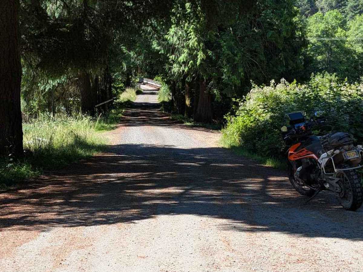
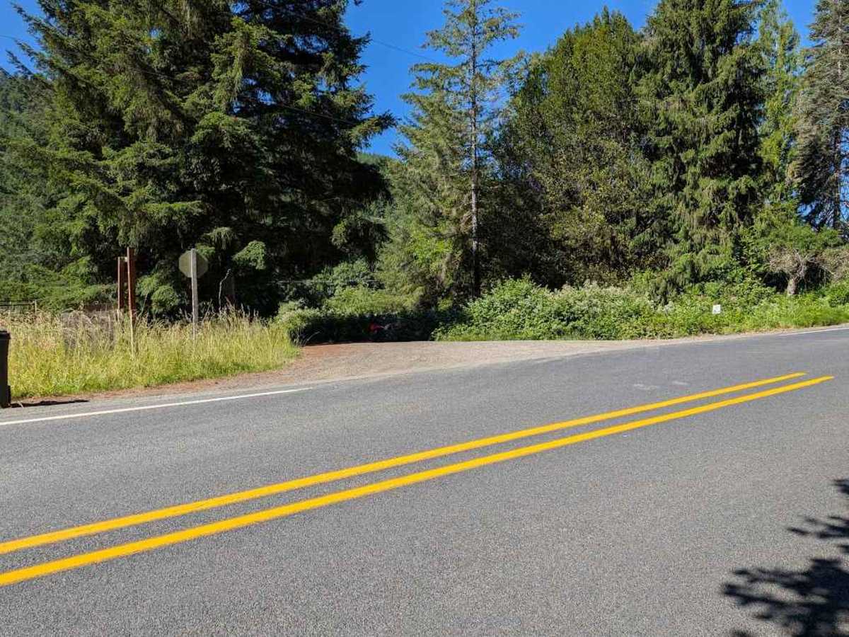
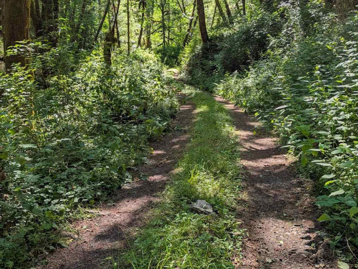
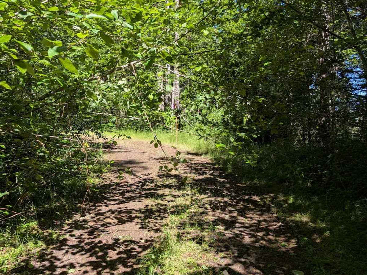
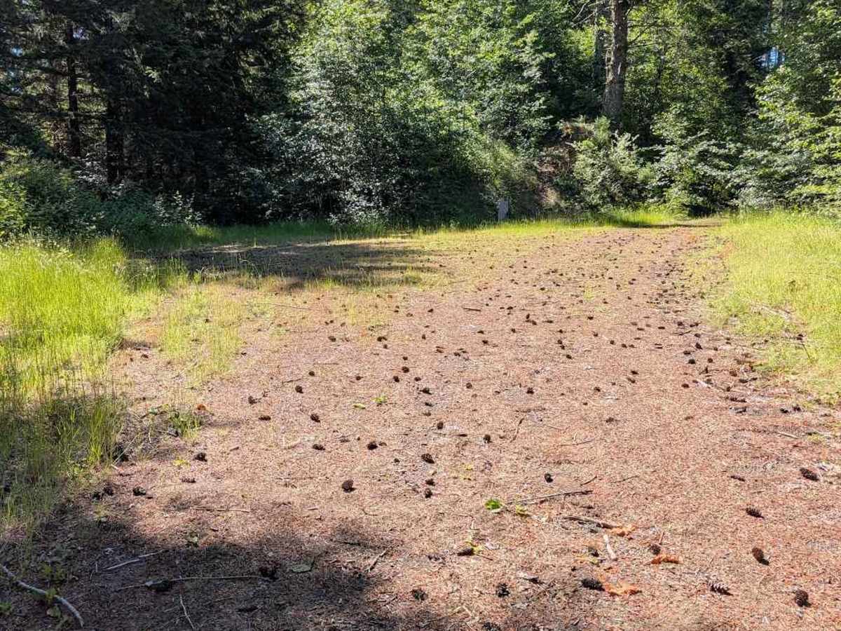
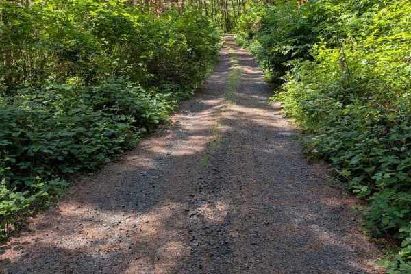
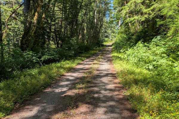
This road is accessed directly from Highway 34, but there are no signs marking its beginning. The road is easy, but it becomes overgrown fairly quickly, with encroaching vegetation and some low-hanging branches. From the Motor Vehicle Use Map, it is open to all classes of vehicles, but paint scratches are likely for anything wider than a quad. There are water bars spaced out on the climb, typically about one foot deep. The roadbed itself was solid. The vegetation in between the two tracks did hide some large pieces of branches, up to 3" in diameter, so caution is warranted if riding a motorcycle up the center to avoid the brush on the sides. Overhead branches also make it less conducive to standing up on the pegs to better see those obstacles. The road is open to all vehicle types, but know that even a motorcycle will be pushing through vegetation for parts of this track. At the top, it connects to the Missouri Tie - FS 3412.
Difficulty
This is a two-track road with typical 1-foot deep water bars. The road is overgrown in places, and even a motorcycle will be pushing through some vegetation and ducking under small-diameter low branches. Scraped paint is likely for larger vehicles. Vegetation hides any rocks or pieces of wood in the center between tracks.