Missouri Tie

Total Miles5
Technical Rating
2Easy
Best TimeSummer, Spring, Fall
Trail TypeFull-Width Road
Accessible By
Open Trail Map

Trail Overview

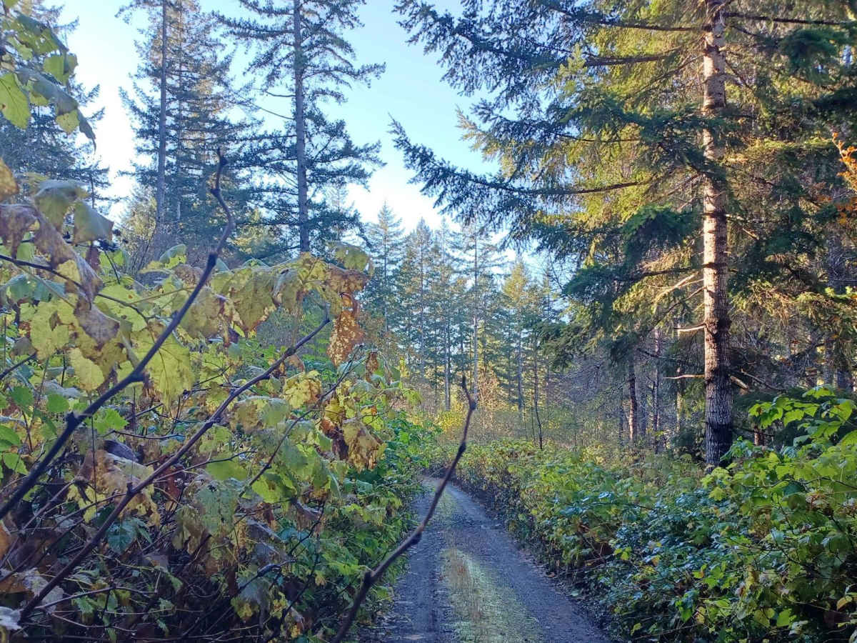
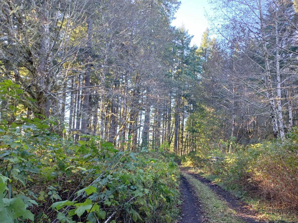
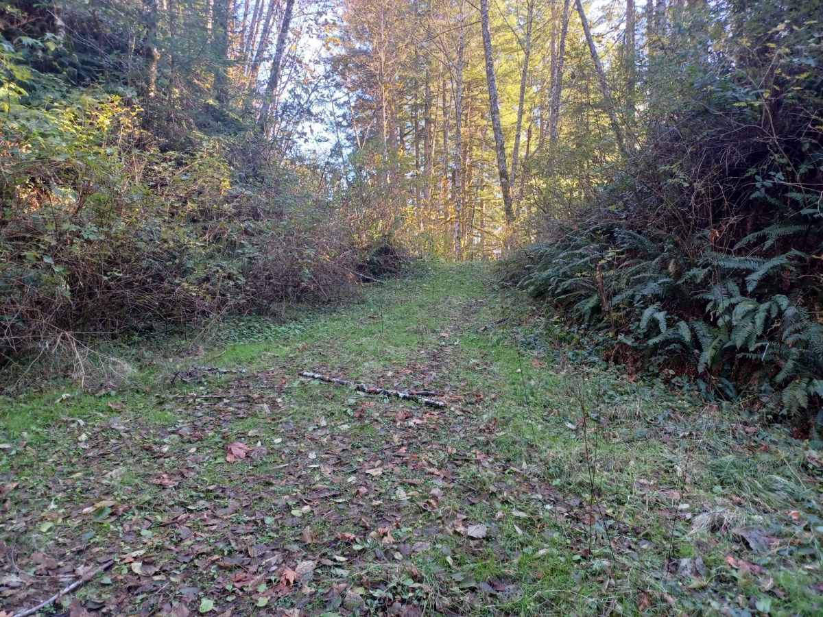
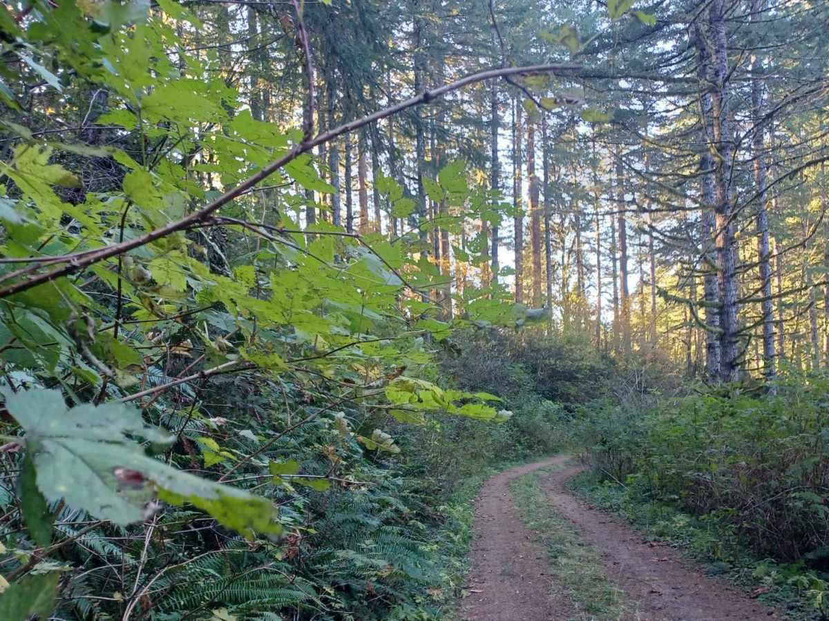
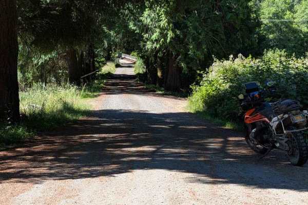
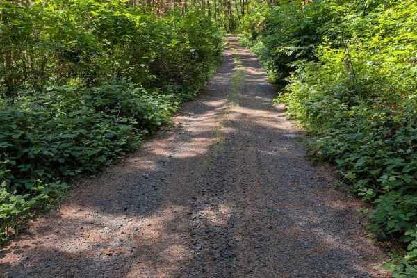
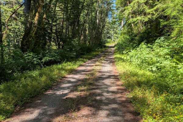
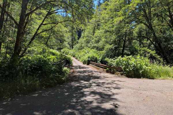
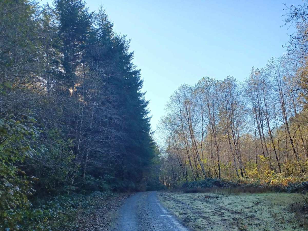
Missouri Tie is a 5-mile unpaved route winding through the Siuslaw National Forest along the Lincoln and Benton County border. The narrow corridor is heavily overgrown with dense coastal foliage, making vehicle pinstriping highly likely. The trail has a low technical difficulty rating of 2, requiring basic high-clearance four-wheel-drive or all-wheel-drive. It is not maintained during winter, when drivers may encounter mud, washouts, and downed timber. Several primitive dispersed camping pull-offs are located along the route, with no developed amenities.

Photos of Missouri Tie

Difficulty

Little to no difficulty, not winter maintained.

Technical Rating

2

Status Reports

Add Status Report
Tyler Moisan
Jul 07, 2024
2020 Toyota Tacoma
Open
Rough/Deteriorated
Overgrown but passable. Fun ride if you don’t mind pinstripes.
Todd Waddell
Apr 06, 2024
2023 Subaru Outback
Open
Muddy/Wet
Description is accurate. Road is overgrown. Typically 1’ more narrow than our Subaru. Overgrowth was generally shrub branches. Fortunately, someone had been through with a chainsaw and taken care of the fallen trees. It was passable, but I wouldn’t do it again.

Missouri Tie Trail can be accessed by the following ride types:

  • Single Track
  • 50 Inch
  • 60 Inch
  • High Clearance
  • Full Width

Access Description

The route runs through the Siuslaw National Forest and is not maintained during the winter. Tight foliage encroaches closely on the road, making vehicle pinstriping highly likely. No fees or permits are specifically required for driving the road, but standard US Forest Service regulations apply.

Missouri Tie Map

The onX Offroad Difference

onX Offroad combines trail photos, descriptions, difficulty ratings, width restrictions, seasonality, and more in a user-friendly interface. Available on all devices, with offline access and full compatibility with CarPlay and Android Auto. Discover what you're missing today!

Open Trail Map