
Dirt Bike Trails
Near Priest River, Idaho
Explore All Dirt Bike Trails Near Priest River, Idaho
Dirt Bike Trails Near Priest River, Idaho
Discover the best dirt bike trails near you. Browse trail maps, check difficulty ratings, and find your next adventure — whether you're looking for a quick ride or an all-day expedition.
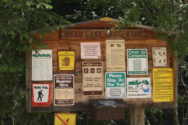
Bead Lake
The Bead Lake trail is an easy-going, scenic off-road loop ideal for beginners, families, and high-clearance vehicles looking for a relaxing day in the Colville National Forest near the Washington-Idaho border. Spanning approximately 28.7 miles, this route climbs from an elevation of 2,057 feet up t...
Learn more about Bead Lake
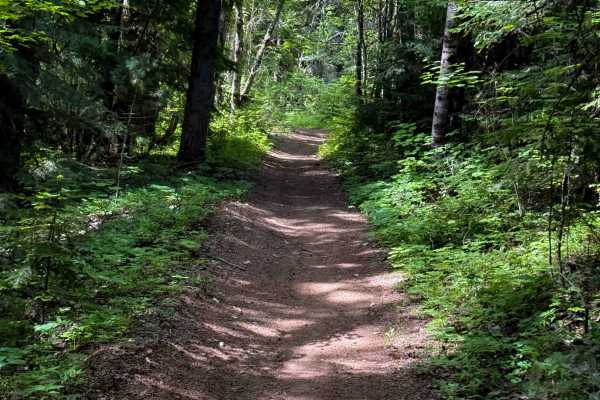
John Wayne Loop
The John Wayne Loop trail is a fun and easy trail for ATVs. The north end departs from the Pee Wee ATV trail, and it goes south through the Kaniksu National Forest towards Forest Service Road 1334. From the north end, it drops down to a couple of small bridges over muddy creeks; one of the bridges i...
Learn more about John Wayne Loop
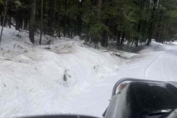
Gleason McAbee 334
The trail starts down a residential dirt road for about 3 miles. Be prepared as in the winter it will only be plowed for the 3 miles. You will drive along Priest River for most of the trail. There is wildlife to be seen as well as golden eagles.
Learn more about Gleason McAbee 334
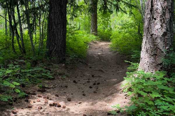
John Wayne A Spur
The John Wayne A Spur is a short ATV trail that connects John Wayne back to Pee Wee over 1 mile. It gains about 400 feet in elevation from south to north, with a few steep spots, but is generally very easy and gradual. The trail stays on a wide path, appropriate for 50-inch vehicles, on smooth dirt ...
Learn more about John Wayne A Spur
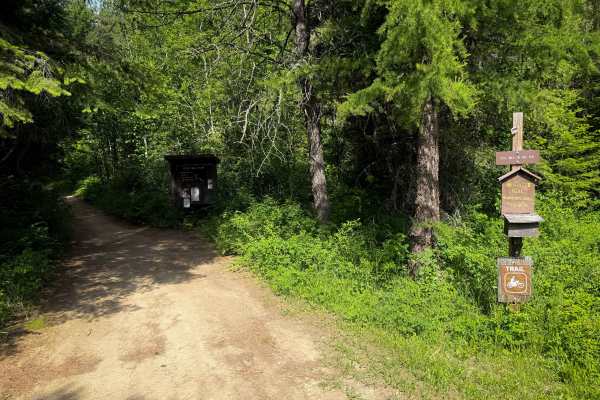
Pee Wee
Pee Wee is a moderately easy ATV trail in the Kaniksu National Forest near Priest River, Idaho. The south end starts at the Pee Wee Trailhead, which is a large dispersed camping and staging area. It winds through the forest for 4.2 miles up and over small hills, with several steeper climbing section...
Learn more about Pee Wee
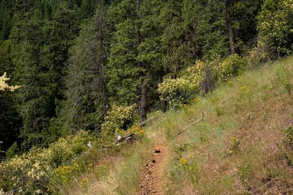
Steep Creek
Steep Creek is a dirt bike trail open to vehicles 40 inches or less. The west end starts off very wide, meandering through a flat forest floor, on smooth dirt, through a forest of hemlocks. Eventually it narrows up, turning into a true single track that is more exposed on the hillsides. It follows t...
Learn more about Steep Creek
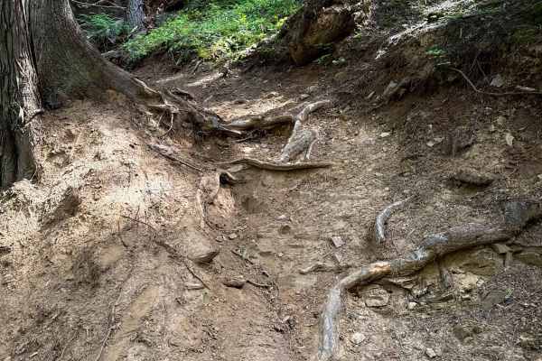
Quartz View
The north end of Quartz View starts out with a bridge crossing over the Steep Creek, and then it immediately starts climbing up a series of 10+ tight and moderately technical switchbacks. A few of the switchbacks have dug out roots across the trail on the inside corner, making them more difficult. T...
Learn more about Quartz View
Happy Fork
Great summer trail with an easy forest service road that you can do in 2WD. A little creek runs next to the trail and lots of pine trees. If you go in the winter be prepared with recovery gear. The more we climbed the harder it got. We ended up having to winch quite a bit.
Learn more about Happy Fork

LM 2697
You will need to air down before the trail. There is a staging area at the beginning of this trail. In the Summer and Fall, this is an easy smooth Forest Service Road for a 2-wheel drive. In the winter this is a more challenging. Grab a winch, your buddy, and a 6 pack. It is a great scenic drive, so...
Learn more about LM 2697
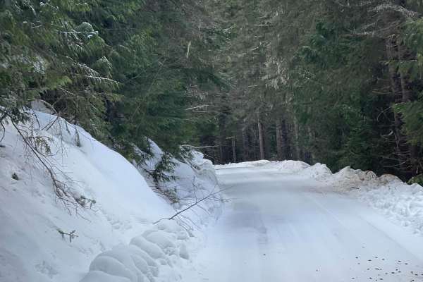
Quartz Creek 416
This is a two-way Forest Service Road. Great way to get to other trails fast or back to the highway. Lots of pine trees and mountain views. In the wintertime, this trail can be icy but it does get plowed.
Learn more about Quartz Creek 416
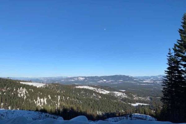
NF-2550 (HooDoo)
This route crosses over Mt HooDoo (elevation 5,119') from Blanchard to Priest River via National Forest Road 2550. The views up here are incredible on a clear day. Mt. Hoodoo is a popular spot for off-roading, hunting, and ATV's. It's also popular with snowmobilers during the winter months.
Learn more about NF-2550 (HooDoo)
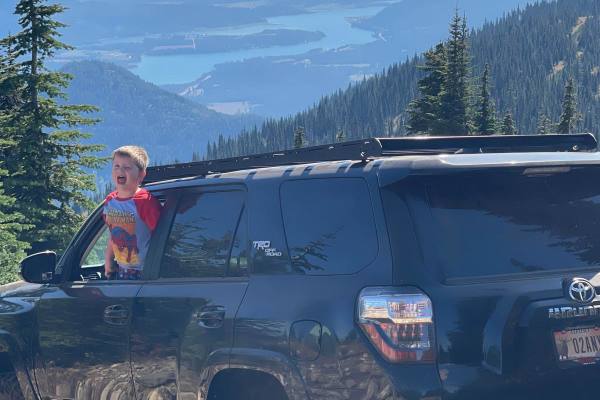
Bald Mountain
This trail is so epic. Got to see some wild turkeys and white tail deer. You'll see beautifully colored trees. Huge peak mountain and one amazing view of Lake Pend Oreille. There are some narrow spots on this trail. I don't recommend full vehicles. I got some nice pinstripes from the brush on the tr...
Learn more about Bald Mountain
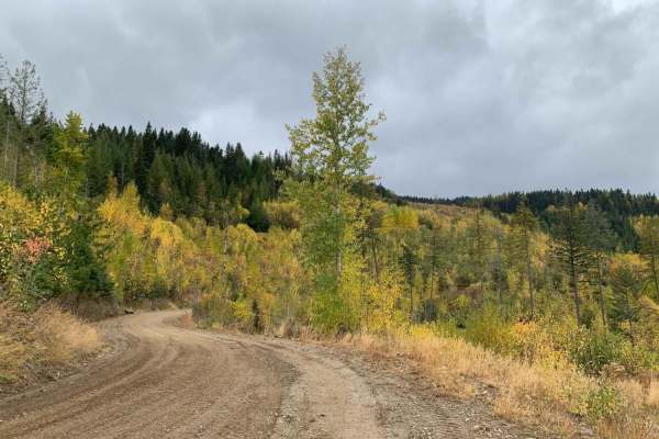
Mt Spokane via IEP Backroads
This route goes from Spirit Lake, ID to the top of Mt Spokane via Inland Empire Paper logging roads and Mt Spokane Nordic Trails. Starting from Brickel Creek Road (via IEP Brickel Creek Gate), to Idaho Road (M8), to Mica Road (M17), to Linder Ridge Road, through the IEP Mt. Spokane Gate and ending i...
Learn more about Mt Spokane via IEP Backroads
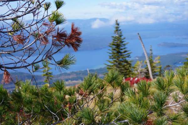
Sundance Mountain
Discover the allure of sheep-grade trail, a gravel road ascending a gentle hillside to unveil breathtaking views of Priest Lake. At the summit stands a rustic lookout tower, offering panoramic vistas of the pristine lake, rolling hills, and dense forests. A hidden gem for nature enthusiasts seeking ...
Learn more about Sundance Mountain
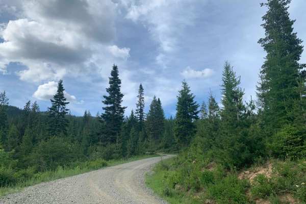
Brickel Creek Road
This road travels east/west through Inland Empire Paper's Brickel Creek Gate and connects to multiple other trails. The road is normally in decent shape with just a few ruts and washouts along the way. Mud or snow conditions may add to the difficulty level in spring and fall. This is a popular ar...
Learn more about Brickel Creek Road
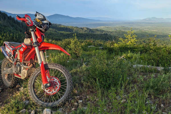
Little Blacktail Trail
Fun canyon with switchbacks and breathtaking mountain ridgelines that parallel Lake Pend Oreille. The trail is somewhat technical but would not consider this a "Hard Enduro". This is the middle connection section between Bayview and Talache Landing single track. This trail has a dirt bike and quad s...
Learn more about Little Blacktail Trail
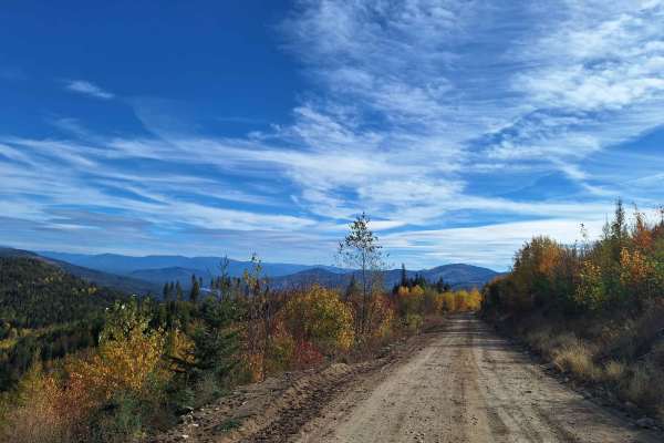
Mica Road & Upper Outer Limits
This route combines Mica Road & Upper Outer Limits to form an alternate side path from the main road "Mt Spokane via IEP Backroads". Starting at Junction 9 and heading east, you'll take Mica Road for around 2 miles until you hit Junction 8. From there you can continue on Upper Outer Limits for clos...
Learn more about Mica Road & Upper Outer Limits
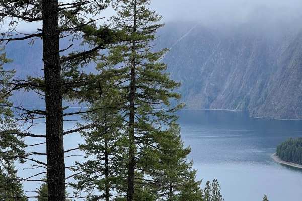
Cape Horn Mountain
This is a very scenic route out of Bayview. There are breathtaking views of the town and Lake Pend Oreille. The road starts as an easy fairly smooth road but after a couple of miles, it gets more rutted and rough. Choosing the correct line is required in a few spots for stock 4X4s, but anything lift...
Learn more about Cape Horn Mountain
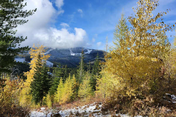
Lower Tripps
This route is an alternate path from the main route, "Mt Spokane via IEP Backroads". Lower Tripps runs parallel to Upper Tripps for about 3.6 miles from Junction 6 to Junction 11. These roads are typically maintained in summer and have clear road signs and maps along the way. Cell service is intermi...
Learn more about Lower Tripps
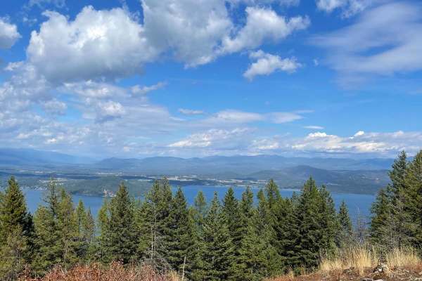
Contest Mountain- 2642
Get ready for an unforgettable adventure on Contest Mountain where the rugged beauty of Kaniksu National Forest meets breathtaking views of Lake Pend Oreille. This scenic route winds through dense forest and crosses into private land, so please respect the area and stick to the main road. Along the ...
Learn more about Contest Mountain- 2642
ATV trails near Priest River, Idaho
Explore ATV-friendly trails near you. These trails are accessible for vehicles up to 50 inches wide, perfect for ATVs and smaller off-road machines.
Bead Lake
The Bead Lake trail is an easy-going, scenic off-road loop ideal for beginners, families, and high-clearance vehicles looking for a relaxing day in the Colville National Forest near the Washington-Idaho border. Spanning approximately 28.7 miles, this route climbs from an elevation of 2,057 feet up t...
Learn more about Bead Lake
John Wayne Loop
The John Wayne Loop trail is a fun and easy trail for ATVs. The north end departs from the Pee Wee ATV trail, and it goes south through the Kaniksu National Forest towards Forest Service Road 1334. From the north end, it drops down to a couple of small bridges over muddy creeks; one of the bridges i...
Learn more about John Wayne Loop
Gleason McAbee 334
The trail starts down a residential dirt road for about 3 miles. Be prepared as in the winter it will only be plowed for the 3 miles. You will drive along Priest River for most of the trail. There is wildlife to be seen as well as golden eagles.
Learn more about Gleason McAbee 334
John Wayne A Spur
The John Wayne A Spur is a short ATV trail that connects John Wayne back to Pee Wee over 1 mile. It gains about 400 feet in elevation from south to north, with a few steep spots, but is generally very easy and gradual. The trail stays on a wide path, appropriate for 50-inch vehicles, on smooth dirt ...
Learn more about John Wayne A Spur
UTV/side-by-side trails near Priest River, Idaho
Find UTV and side-by-side trails near you. These trails accommodate vehicles up to 60 inches wide, ideal for UTVs, side-by-sides, and wider off-road rigs.
Bead Lake
The Bead Lake trail is an easy-going, scenic off-road loop ideal for beginners, families, and high-clearance vehicles looking for a relaxing day in the Colville National Forest near the Washington-Idaho border. Spanning approximately 28.7 miles, this route climbs from an elevation of 2,057 feet up t...
Learn more about Bead Lake
Gleason McAbee 334
The trail starts down a residential dirt road for about 3 miles. Be prepared as in the winter it will only be plowed for the 3 miles. You will drive along Priest River for most of the trail. There is wildlife to be seen as well as golden eagles.
Learn more about Gleason McAbee 334
Happy Fork
Great summer trail with an easy forest service road that you can do in 2WD. A little creek runs next to the trail and lots of pine trees. If you go in the winter be prepared with recovery gear. The more we climbed the harder it got. We ended up having to winch quite a bit.
Learn more about Happy Fork
LM 2697
You will need to air down before the trail. There is a staging area at the beginning of this trail. In the Summer and Fall, this is an easy smooth Forest Service Road for a 2-wheel drive. In the winter this is a more challenging. Grab a winch, your buddy, and a 6 pack. It is a great scenic drive, so...
Learn more about LM 2697
The onX Offroad Difference
onX Offroad combines trail photos, descriptions, difficulty ratings, width restrictions, seasonality, and more in a user-friendly interface. Available on all devices, with offline access and full compatibility with CarPlay and Android Auto. Discover what you're missing today!
Open Trail Map