
Dirt Bike Trails
Near Pine Crest, Tennessee
Explore All Dirt Bike Trails Near Pine Crest, Tennessee
Dirt Bike Trails Near Pine Crest, Tennessee
Discover the best dirt bike trails near you. Browse trail maps, check difficulty ratings, and find your next adventure — whether you're looking for a quick ride or an all-day expedition.
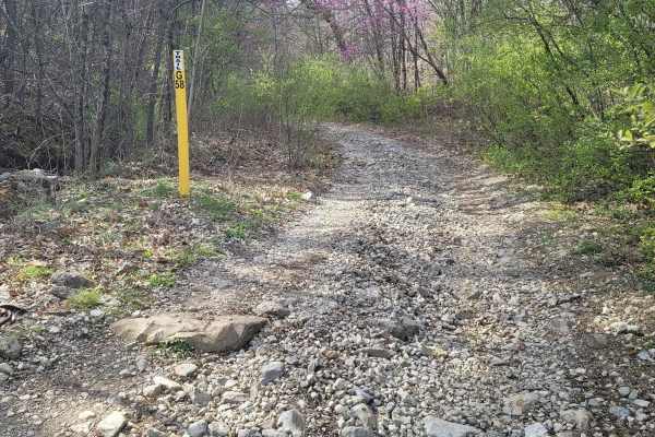
G58 - Cambria Hollow
G58 - Cambria Hollow is a mud-hole-ridden trail with hard bottoms. There is no fear of sinking a vehicle in these puddles, but they can give you a good splash. This trail can lead you outside of the park as well as in so be aware of property boundary signs. During the springtime, the brush overgrowt...
Learn more about G58 - Cambria Hollow
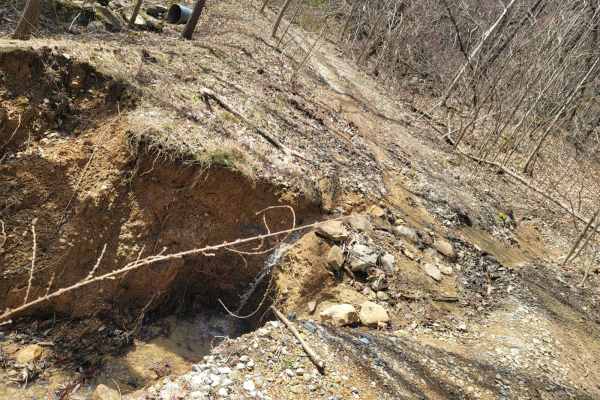
G59
Trail G59 is like many other "green" gravel trails at Windrock park, in the fact they can seem like a good trail to rip up at faster speeds just to see where it goes, but like all trails can be degraded past the normal standards. This trail is easy all around, but even the easiest trails can wash ou...
Learn more about G59
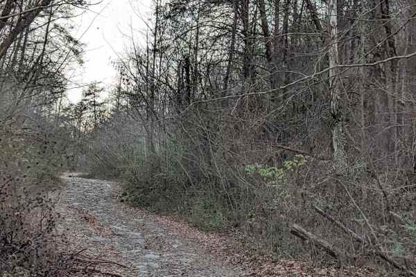
G54
This is the beginning of the recommended route to the Caryville Flats (G54, 62,66). All trails have moderate washouts and ledges. and rocks. It's a nice drive with a few spots for scenic views. The view of Caryville lit up at night is fun to see. We have also seen the elk herd running around late at...
Learn more about G54
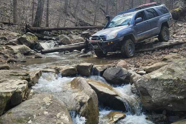
70 - Disney Hollow
Trail 70 - Disney Hollow is the perfect day cruise into lunchtime. This trail shows two different traits- the first being a flat cruising style trail composed of hard-packed dirt and the latter being a drop off of the side of the mountain onto a short section of rock tables. There is little loose ro...
Learn more about 70 - Disney Hollow
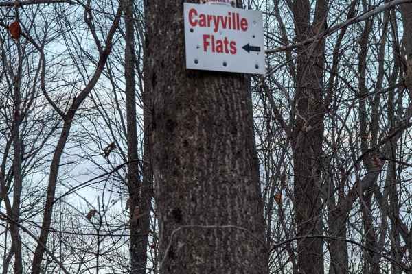
62
Trail 62 in Windrock Park offers offroaders an engaging, scenic climb that serves as a key connecting route to the expansive Caryville Flats. This 1.1-mile trail is ideal for drivers of stock four-wheel-drive vehicles and SxSs looking for a moderate challenge without extreme risks. Starting at an el...
Learn more about 62
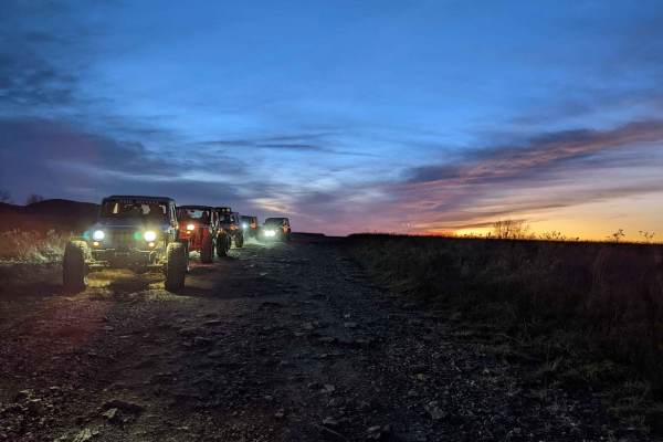
66 - Caryville Flats
Caryville Flats, also designated as Trail 66, offers an exceptionally scenic, easy-going ridge top drive that is perfect for families, beginners, and anyone looking to enjoy the expansive mountain vistas of Windrock Park. Spanning roughly 1.5 miles at an elevation of around 2,900 feet near McGhee Ga...
Learn more about 66 - Caryville Flats
Main Forest Road
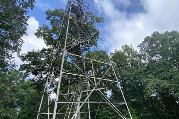
Main Forest Road offers an easy, highly scenic 13.2-mile cruise through Chuck Swan State Forest that is perfect for beginners, families, and anyone looking to enjoy a relaxing drive with gorgeous lake views and deep historical significance. This unpaved route serves as the primary artery of the fore...
Learn more about Main Forest Road
54C - Power Pole
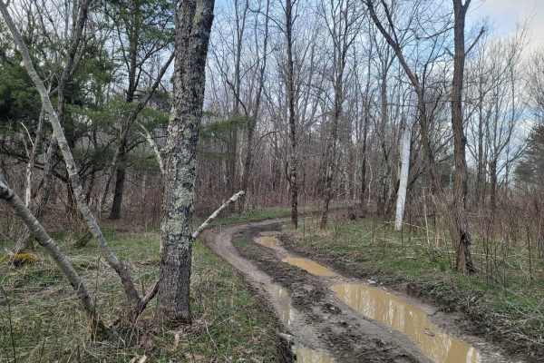
Trail 54C - Power Pole is a trail that bobs and weaves out of trail 54. This dirt and mud trail will get you off the most common paths and around obstructions on primary Trail 54. Trail 54C starts out in a lowland plain-type terrain that is flat and holds water, while the second section drops off th...
Learn more about 54C - Power Pole
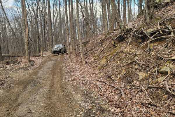
93 - Oak Elbow
Trail 93 - Oak Elbow is one of the cascading trails that loop around the mountain when you want to cover a large number of trails, find a bypass around a tougher obstacle or take a route that isn't covered by other riders. This trail has frequent trail debris from the trees that grow out over the tr...
Learn more about 93 - Oak Elbow
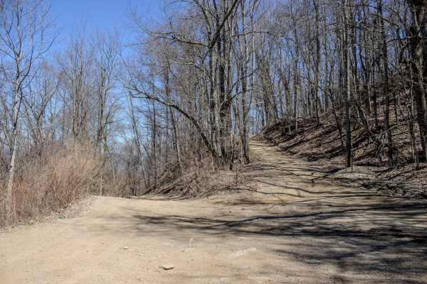
Cross Mountain Road
Cross Mountain Trail is one of the main routes through the Royal Blue Riding Area, stretching across the mountain and serving as a major connector for much of the trail system. Rated a 3/10, it is one of the longer trails in the area and can be completed by smaller 4x4 SUVs with good ground clearanc...
Learn more about Cross Mountain Road
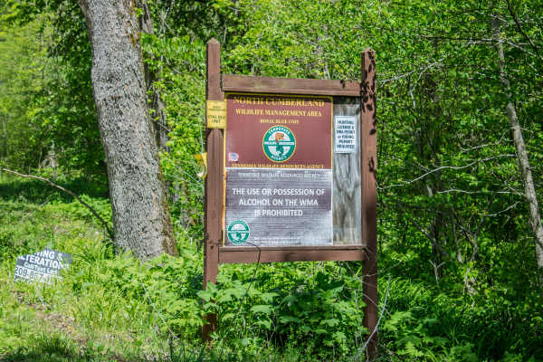
RBS19
RBS19 is a two-way, mostly dirt trail that connects Cross Mountain Road to CR 63. The trail follows the power line for much of the route before branching off toward the main road. This is a narrow trail with limited areas to pass or pull over, so drivers should watch for oncoming traffic and plan be...
Learn more about RBS19
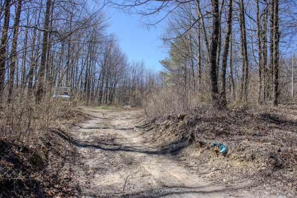
Grave Gap Trail
Grave Gap Trail is a mostly maintained gravel road within the Royal Blue Riding Area, offering an easy two-way route with plenty of room for vehicles to pass without difficulty. While most of the trail is gravel, a few sections shift to a mix of dirt and gravel, adding a little variety without makin...
Learn more about Grave Gap Trail
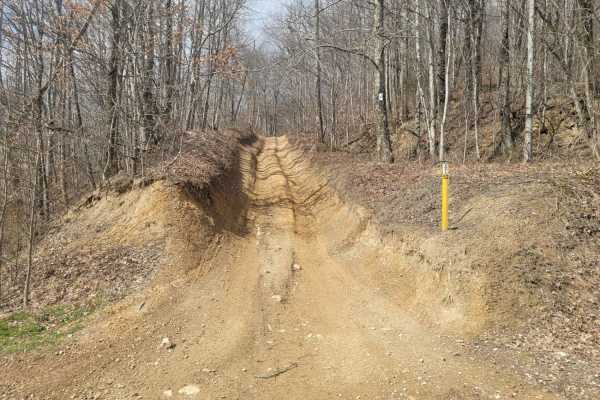
52 - Cold Gap Shortcut
Trail 52 is a more direct route to the Cold Gap Waterfall from easier green trails such as G50 and G53 to G52. This small section still provides some small technical challenges as Windrock Park considers it an easy "blue" trail, but it prevents the longer route through Trail 53. Expect loose rock wi...
Learn more about 52 - Cold Gap Shortcut
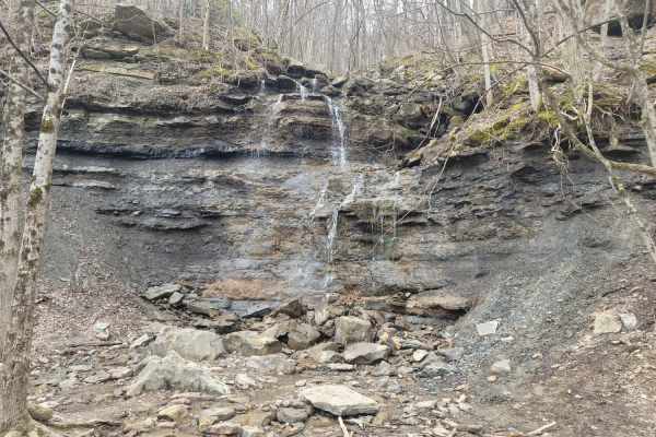
53 - Cold Gap Waterfall
This trail is a sight for sore eyes! It has it all; a year-round flowing waterfall, a mountain top powerline overlook, boulders comparable to hot air balloons, and varying mud holes to top it off. This medium difficulty blue trail is very popular due to its attractions and connection to a primary ro...
Learn more about 53 - Cold Gap Waterfall
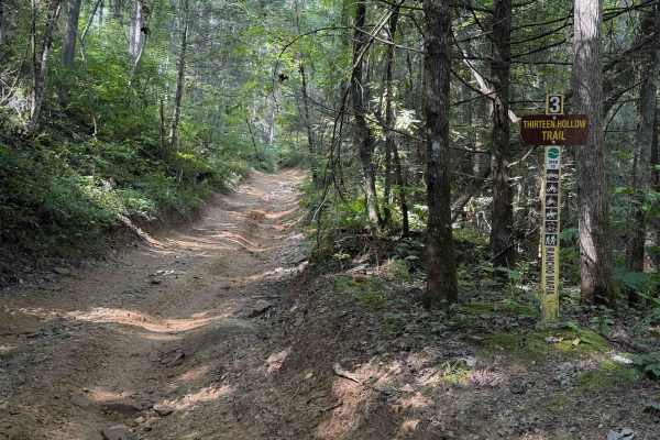
Thirteen Hollow Trail 3
Thirteen Hollow Trail is a short connector trail between Ollie’s Creek Trail 2 and Flatwoods Road Trail 1. The trail is mostly a mix of clay and dirt with loose rocks and shallow ruts that can get very slick when wet, as it rides through a dense forested hollow that holds a lot of moisture in the di...
Learn more about Thirteen Hollow Trail 3
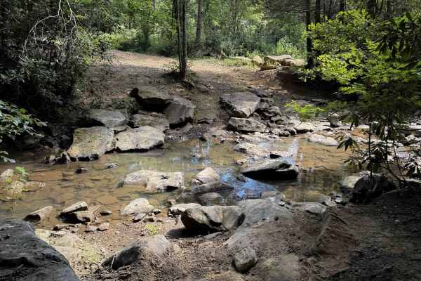
Ollie’s Creek Trail 2
Ollie’s Creek is a long OHV trail within the Sundquist Unit of the North Cumberland OHV Riding Area, with several fun rocky features, mud pits, and a great trailside view of the Yellow Branch waterfall. The east entrance starts in Jordan Hollow, from the Tank Springs Trailhead, and it connects to Tr...
Learn more about Ollie’s Creek Trail 2
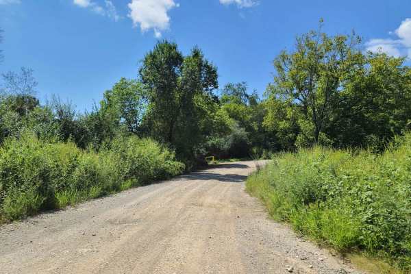
Flatwoods Road - Trail 1
This is a well-maintained gravel road accessible by any stock vehicle. It starts just off of I-75 and is a nice gravel road with a few potholes and puddles. Any stock truck or SUV can do this section at least as far as the shooting range. After that, it is a little rougher with a few steep rocky hil...
Learn more about Flatwoods Road - Trail 1
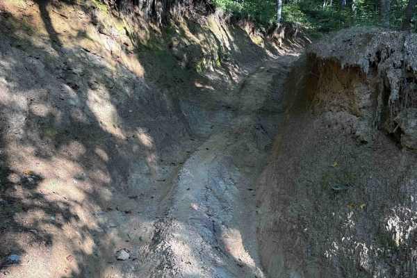
Ivydell Trail
Ivydell Trail is an access road intended for experienced riders seeking a more technical challenge within the Sundquist Unit of North Cumberland Wildlife Management Area. Connecting Flatwoods Road with Ollis Creek Trail, this trail serves as a demanding entry into the interior trail network while t...
Learn more about Ivydell Trail
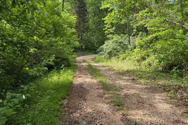
Crumely Loop
Crumely Loop is a mellow 2.6-mile forest road tucked into the heart of Chuck Swan State Forest. Like all the roads here, it's an active logging route, so keep an eye out for trucks and yield when needed. Several old roads branch off along the way, but most are closed to motorized vehicles; just foll...
Learn more about Crumely Loop
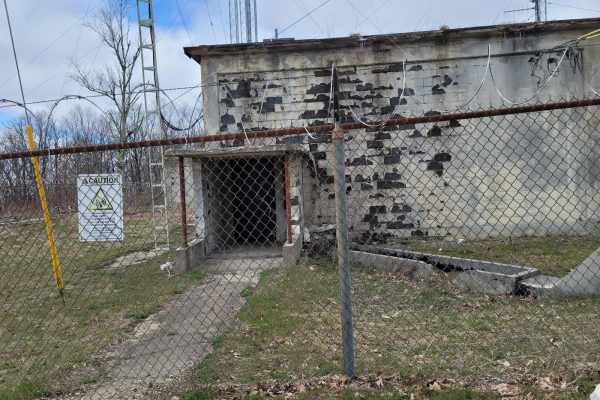
G53 - Radar Base
Trail G53 - Radar Base is a great spot to bring the kids and adults alike for the "Ooohs and Ahhhs". While this trail won't bring you into an off camber frenzy, it will make up for it in old structures and history. This trail is gravel from the pavement at Slatestone road to the base, it does featur...
Learn more about G53 - Radar Base
ATV trails near Pine Crest, Tennessee
Explore ATV-friendly trails near you. These trails are accessible for vehicles up to 50 inches wide, perfect for ATVs and smaller off-road machines.
G58 - Cambria Hollow
G58 - Cambria Hollow is a mud-hole-ridden trail with hard bottoms. There is no fear of sinking a vehicle in these puddles, but they can give you a good splash. This trail can lead you outside of the park as well as in so be aware of property boundary signs. During the springtime, the brush overgrowt...
Learn more about G58 - Cambria Hollow
G59
Trail G59 is like many other "green" gravel trails at Windrock park, in the fact they can seem like a good trail to rip up at faster speeds just to see where it goes, but like all trails can be degraded past the normal standards. This trail is easy all around, but even the easiest trails can wash ou...
Learn more about G59
G54
This is the beginning of the recommended route to the Caryville Flats (G54, 62,66). All trails have moderate washouts and ledges. and rocks. It's a nice drive with a few spots for scenic views. The view of Caryville lit up at night is fun to see. We have also seen the elk herd running around late at...
Learn more about G54
70 - Disney Hollow
Trail 70 - Disney Hollow is the perfect day cruise into lunchtime. This trail shows two different traits- the first being a flat cruising style trail composed of hard-packed dirt and the latter being a drop off of the side of the mountain onto a short section of rock tables. There is little loose ro...
Learn more about 70 - Disney Hollow
UTV/side-by-side trails near Pine Crest, Tennessee
Find UTV and side-by-side trails near you. These trails accommodate vehicles up to 60 inches wide, ideal for UTVs, side-by-sides, and wider off-road rigs.
G58 - Cambria Hollow
G58 - Cambria Hollow is a mud-hole-ridden trail with hard bottoms. There is no fear of sinking a vehicle in these puddles, but they can give you a good splash. This trail can lead you outside of the park as well as in so be aware of property boundary signs. During the springtime, the brush overgrowt...
Learn more about G58 - Cambria Hollow
G59
Trail G59 is like many other "green" gravel trails at Windrock park, in the fact they can seem like a good trail to rip up at faster speeds just to see where it goes, but like all trails can be degraded past the normal standards. This trail is easy all around, but even the easiest trails can wash ou...
Learn more about G59
G54
This is the beginning of the recommended route to the Caryville Flats (G54, 62,66). All trails have moderate washouts and ledges. and rocks. It's a nice drive with a few spots for scenic views. The view of Caryville lit up at night is fun to see. We have also seen the elk herd running around late at...
Learn more about G54
70 - Disney Hollow
Trail 70 - Disney Hollow is the perfect day cruise into lunchtime. This trail shows two different traits- the first being a flat cruising style trail composed of hard-packed dirt and the latter being a drop off of the side of the mountain onto a short section of rock tables. There is little loose ro...
Learn more about 70 - Disney Hollow
The onX Offroad Difference
onX Offroad combines trail photos, descriptions, difficulty ratings, width restrictions, seasonality, and more in a user-friendly interface. Available on all devices, with offline access and full compatibility with CarPlay and Android Auto. Discover what you're missing today!
Open Trail Map