Trail Overview
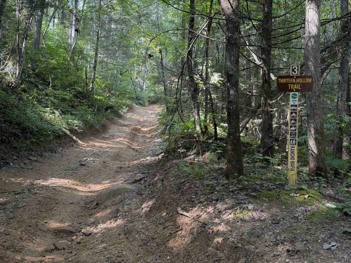
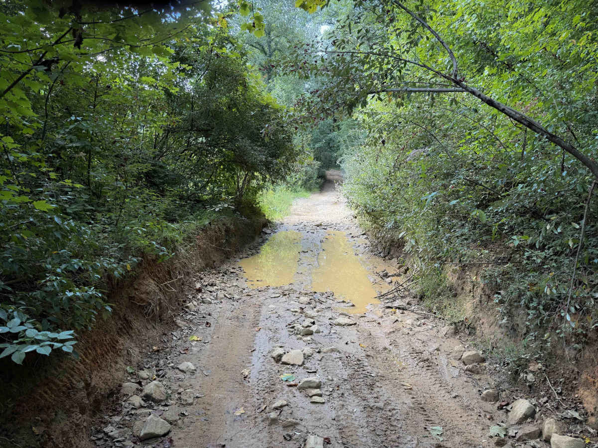
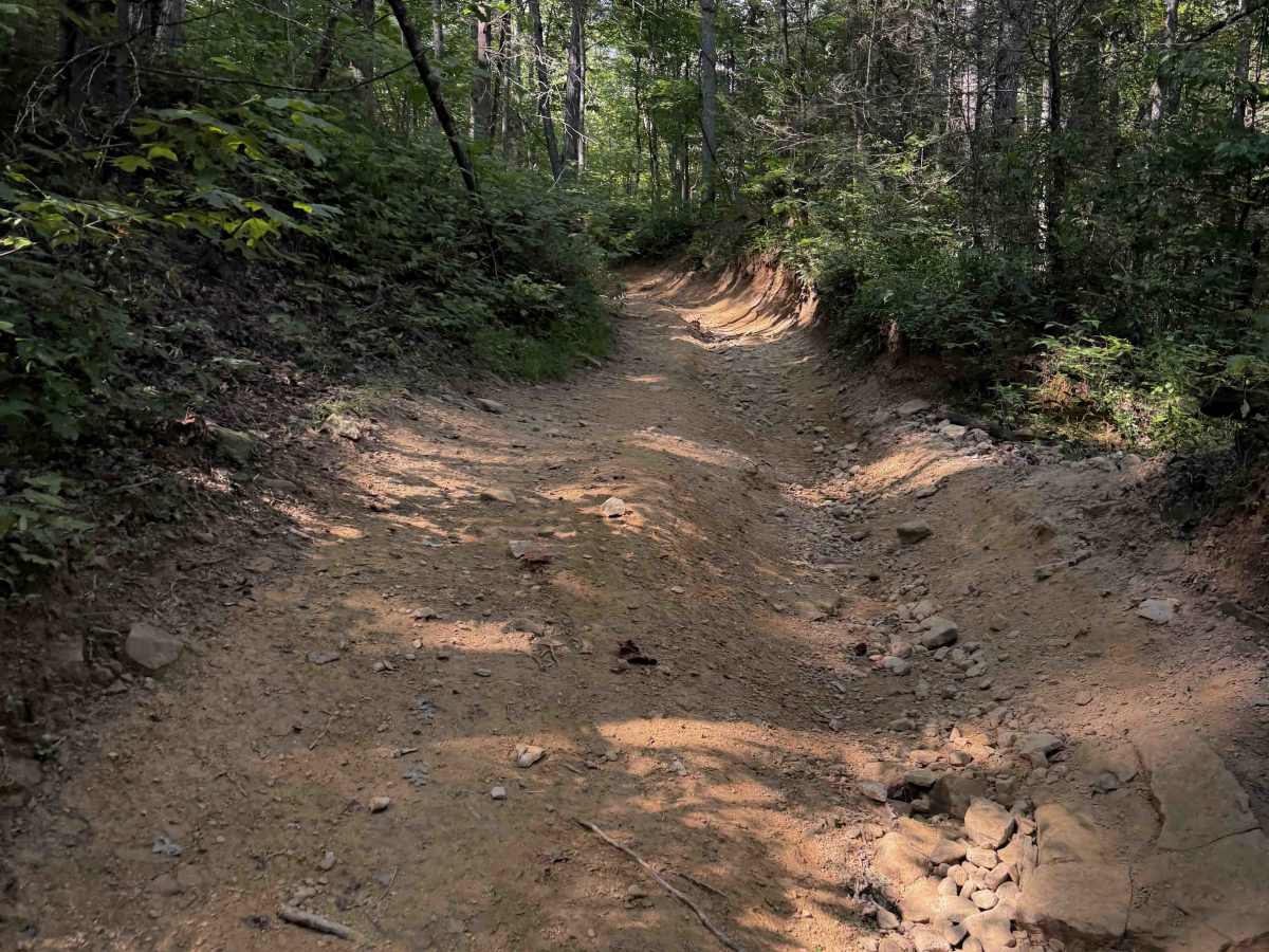
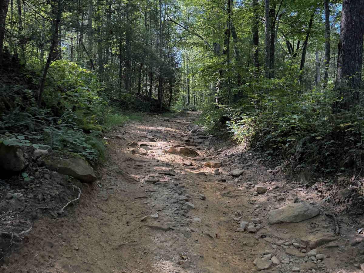
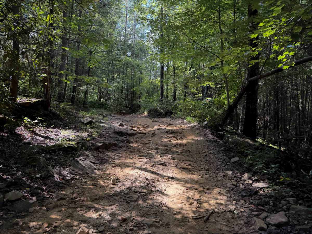
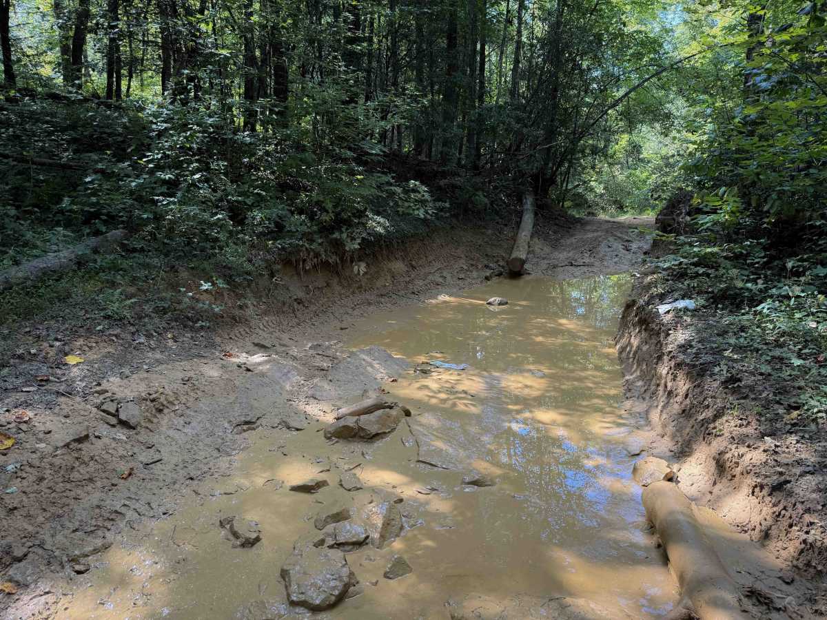
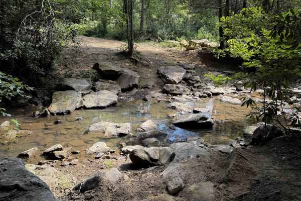
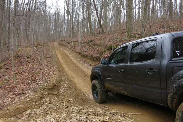
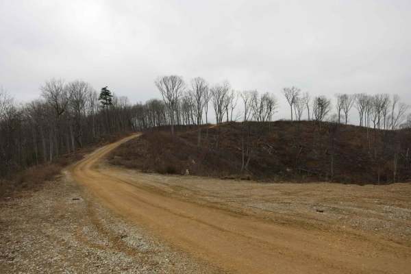
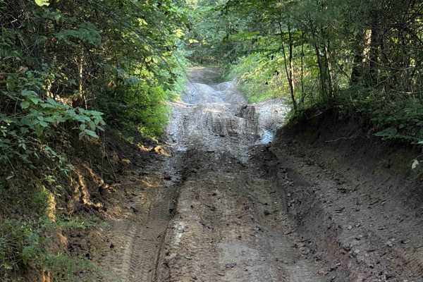
Thirteen Hollow Trail is a short connector trail between Ollie’s Creek Trail 2 and Flatwoods Road Trail 1. The trail is mostly a mix of clay and dirt with loose rocks and shallow ruts that can get very slick when wet, as it rides through a dense forested hollow that holds a lot of moisture in the dirt. It gradually climbs up from Ollie’s Creek, gaining less than 100 feet in about a half mile. Expect small loose rocks and some bigger embedded rock surfaces. The path is generally pretty wide, but at times it is troughed out below the forest floor with limited width between the dirt banks. There are big mud puddles spanning the width of the trail, and some small logs down. Watch for low branches. Other times the trail is single-lane width with limited space to pass. It passes Thirteen Hollow Falls to the east of the trail, but it did not have a clear view of the falls.
Difficulty
This is rated Easy by the Cumberland WMA. The trail is generally easy despite a few narrow sections, muddy patches, and frequent loose rock.