Trail Overview
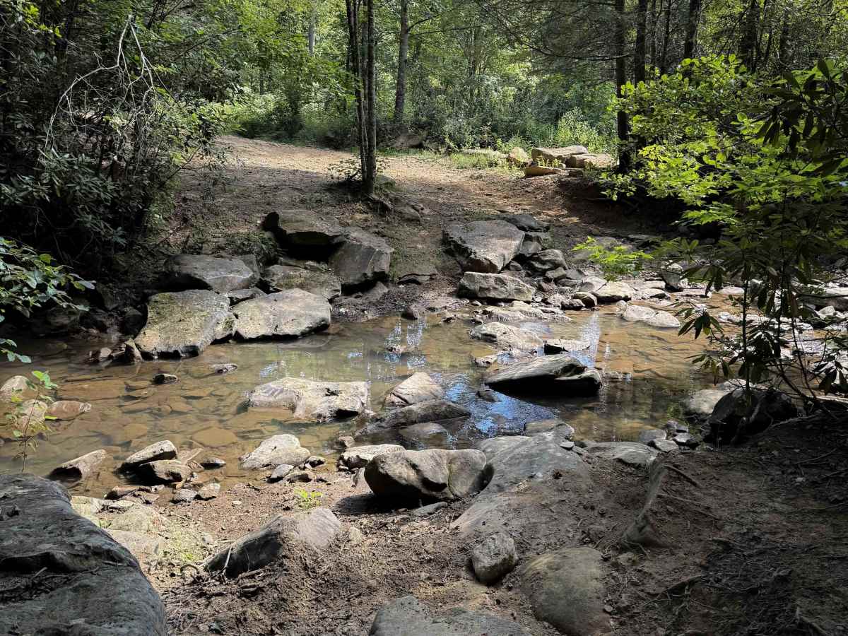
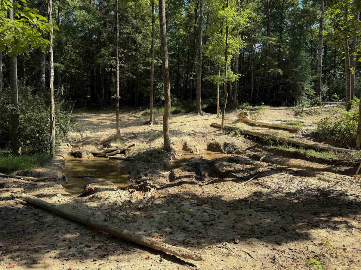
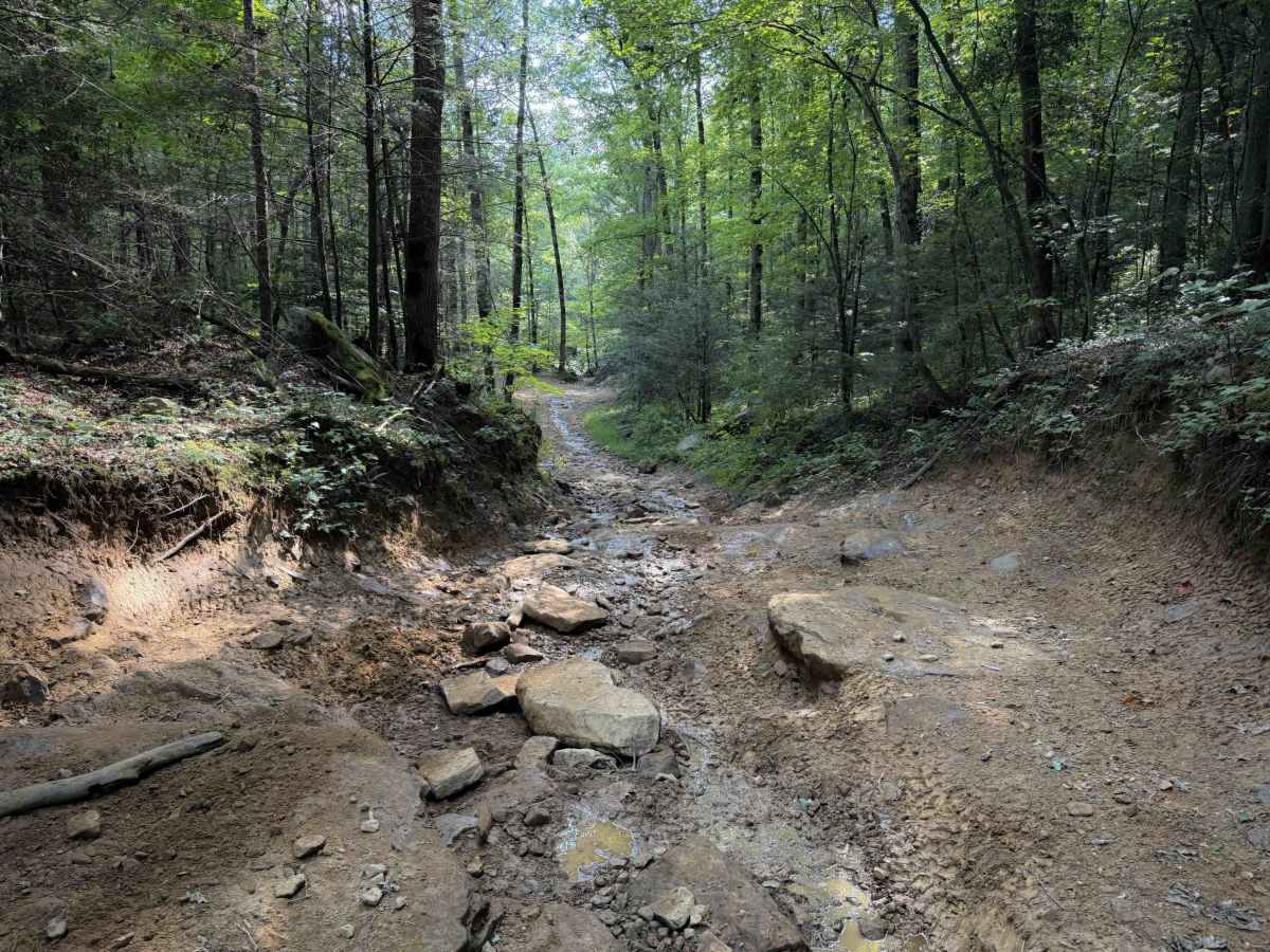
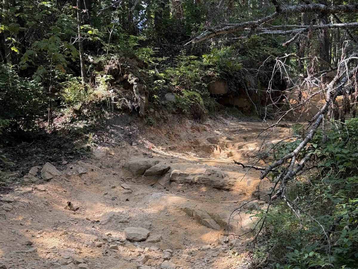
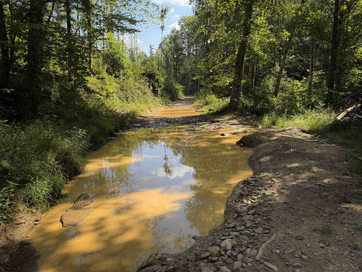
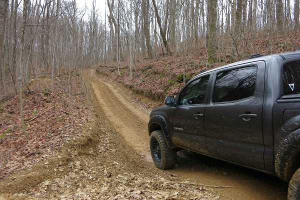
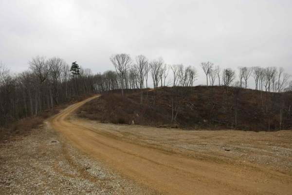
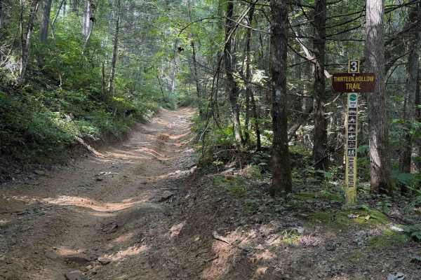
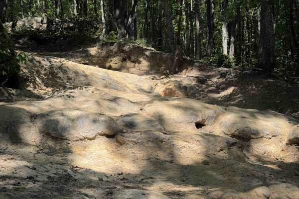
Ollie’s Creek is a long OHV trail within the Sundquist Unit of the North Cumberland OHV Riding Area, with several fun rocky features, mud pits, and a great trailside view of the Yellow Branch waterfall. The east entrance starts in Jordan Hollow, from the Tank Springs Trailhead, and it connects to Trail 1- Flatwoods Road, over the course of 6.3 miles. It only passes one intersection on the way, which is a short spur onto Thirteen Hollow. The trail is open to all 4x4 vehicles, but it has frequent narrow spots, such as when it weaves between muddy ruts and skinny trees in the middle of the trail, which will make it more difficult for wider vehicles. The trail is often rutted out with deep mud puddles, often spanning the entire width of the trail. Watch out for a couple of small logs down, and a few low branches over the trail with low overhead clearance. It is often a single lane width and troughed out deep below the forest floor, making it a limited width between the tall dirt walls. There are rockier sections in the eastern half of the trail, with embedded slab rock layers, loose boulders, and a rocky stream crossing.
Difficulty
This is rated Easy by the Cumberland WMA, but conditions can change over time, and it is more of a Moderate trail due to several rockier spots on the east end and deep muddy ruts. The trail will have narrow spots when it is rutted out and a rocky stream crossing, making it an intermediate trail.