High Rock Trail

Total Miles1.6
Technical Rating
7Difficult
Best TimeSpring, Summer, Fall
Trail Type60" Trail
Accessible By
Open Trail Map

Trail Overview

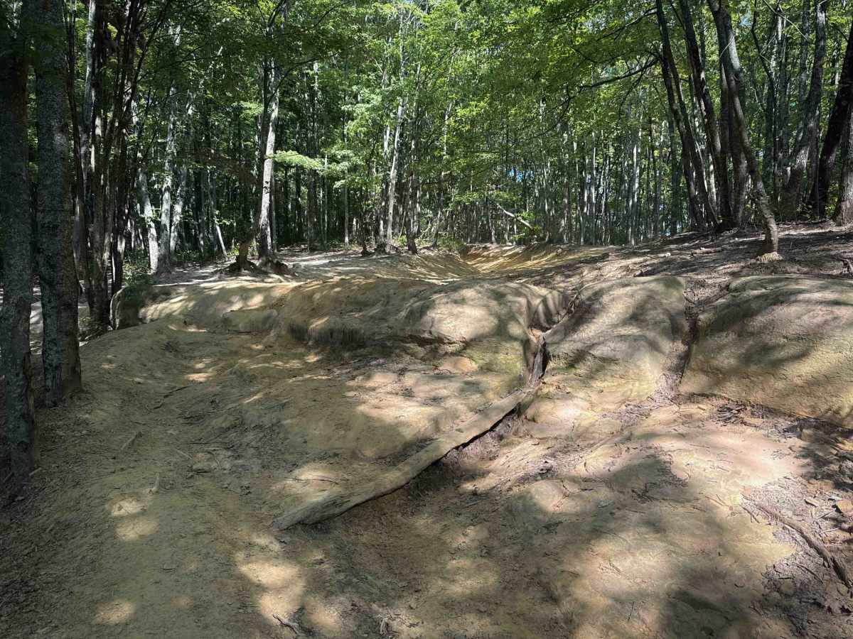
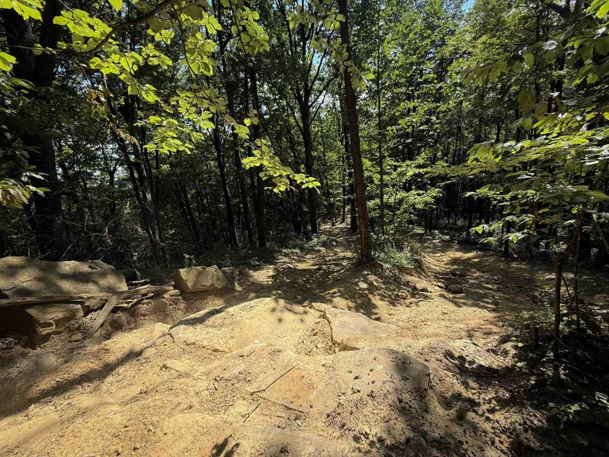
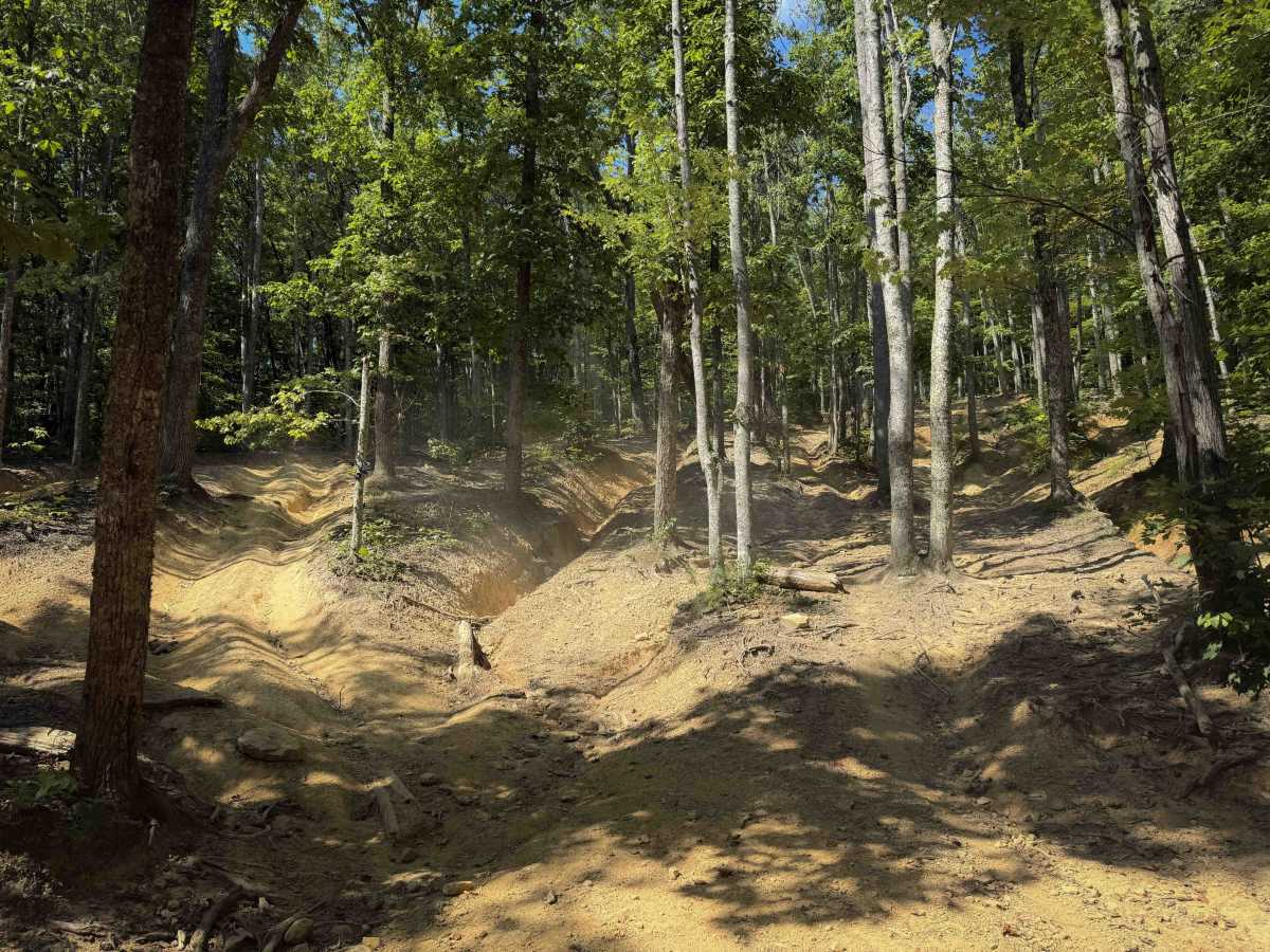
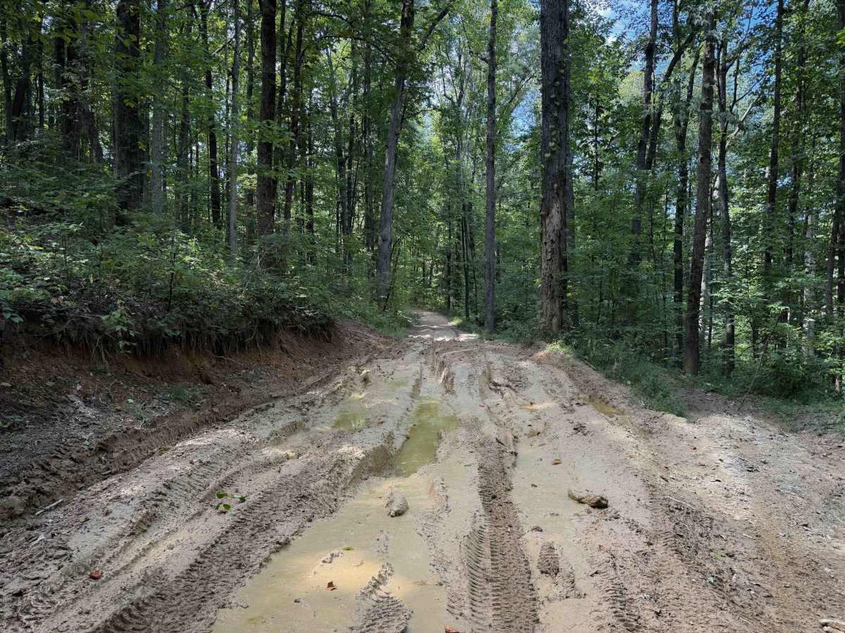
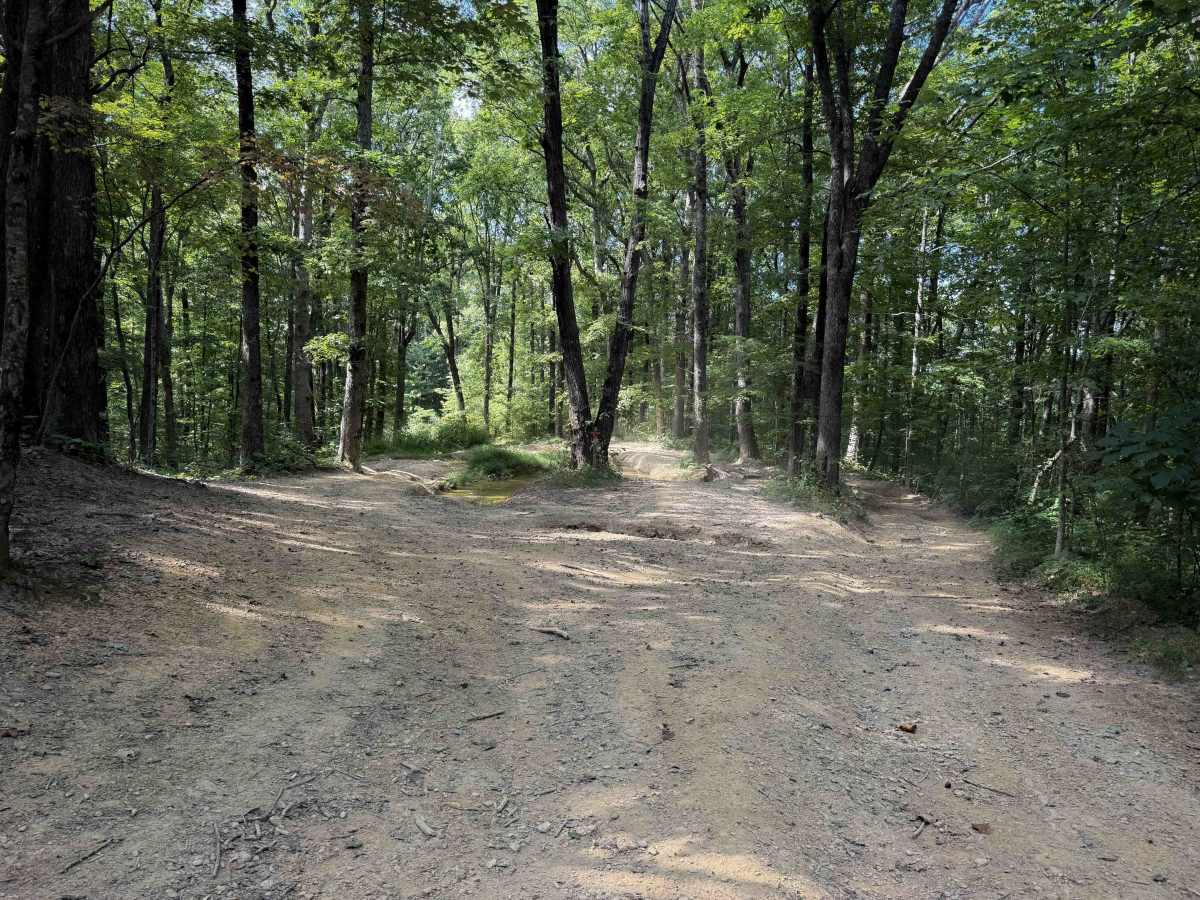
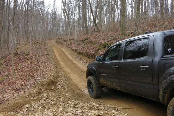
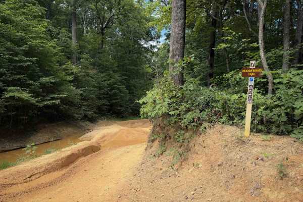
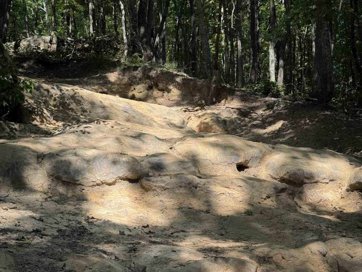
High Rock Trail is one of the Most Difficult trails in the Sundquist Unit of the North Cumberland Off-Highway Vehicle Riding Area (NCWMA). It is made up of muddy clay and dirt and is often deeply rutted out. The trail goes along a little ridgeline and a shelf road cut along the hillside. It has big mud pits through deeply rutted sections, with slippery roots mixed in. The trail has several steeper hills both up and down, including a steep descent towards the west entrance. There are a couple of small logs embedded into the mud at times as well. You really have to pick a good line because sometimes the trail becomes split around mud pits and trees, and some of the mud pits are extremely deep, more like a bog, where a winch could be necessary. The steep hill on the west side has a series of tall rock ledges that you’ll climb up when riding west to east, which makes it even more difficult because they are almost undercut, so the steepness can make your tires spin.

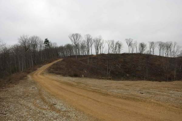
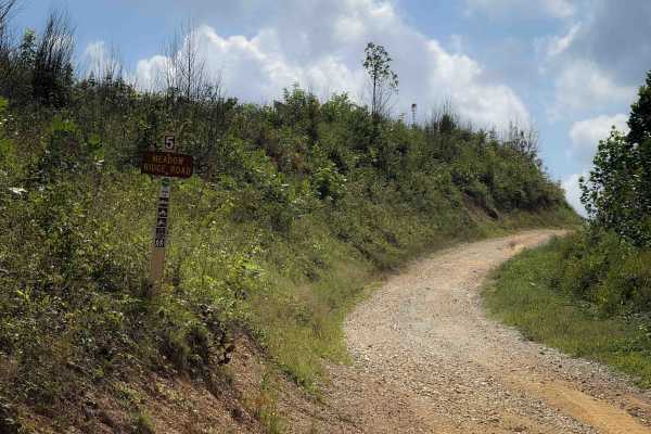
Photos of High Rock Trail

Difficulty

This is rated Most Difficult by the Cumberland Wildlife Management Area. It is a more advanced trail due to several tall rock ledges that will require careful tire placement and articulation. Expect steep terrain and muddy ruts.

Technical Rating

7

High Rock Trail Trail can be accessed by the following ride types:

  • Single Track
  • 50 Inch
  • 60 Inch

High Rock Trail Map

The onX Offroad Difference

onX Offroad combines trail photos, descriptions, difficulty ratings, width restrictions, seasonality, and more in a user-friendly interface. Available on all devices, with offline access and full compatibility with CarPlay and Android Auto. Discover what you're missing today!

Open Trail Map