
Dirt Bike Trails
Near Ophir, Colorado
Explore All Dirt Bike Trails Near Ophir, Colorado
Dirt Bike Trails Near Ophir, Colorado
Discover the best dirt bike trails near you. Browse trail maps, check difficulty ratings, and find your next adventure — whether you're looking for a quick ride or an all-day expedition.
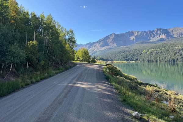
Galloping Goose Road
This route follows a portion of the historic Rio Grande Southern Railroad grade as it travels around Trout Lake and leads directly to the remaining Rio Grande Southern trestle bridge. The road consists primarily of a well-maintained gravel and packed dirt surface and passes through a mixture of open...
Learn more about Galloping Goose Road
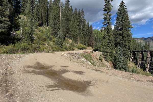
Trestle Road
This route continues around the Trout Lake area, connecting Galloping Goose Road back to Highway 145. The road travels through a mix of dense evergreen forest, stands of aspen, open grassy areas, and sections overlooking the surrounding mountain slopes. Much of the route follows a wide dirt and grav...
Learn more about Trestle Road
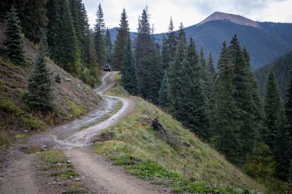
Middle Fork Mineral Creek
Middle Fork Mineral Creek is a short, scenic spur trail off Ophir Pass that is perfect for four-wheel-drive enthusiasts looking to access a secluded streamside campsite or explore historic mining relics. Spanning just over a third of a mile (approximately 1,900 feet), this route descends quickly fro...
Learn more about Middle Fork Mineral Creek
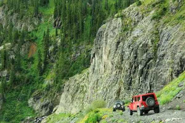
Silver Cloud Mine
Silver Cloud Mine is a short but scenic four-wheel-drive route located off US Highway 550 south of Red Mountain Pass, offering offroaders a brief but rewarding climb to a historic mining site. Starting near Mill Creek at an elevation of approximately 10,500 feet, this 1.16-mile trail climbs steadily...
Learn more about Silver Cloud Mine
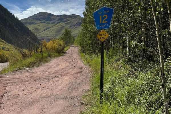
Clear Lake Road
If you're looking for an adventure just outside Ophir, Colorado, the 9.5-mile out-and-back trail is a fantastic option to consider. Known for its challenging terrain, this trail will test your skills and endurance, making it a rewarding experience for those who seek a bit of thrill. While the trail ...
Learn more about Clear Lake Road

South Mineral Road
This is an easy trail outside Silverton, CO. This trail takes you through Copper Gulch on the North end and ascends as you go south into the Rolling Mountain Valley. The trail is a dirt road for the first 4 miles and transitions into a mild shelf road for the last 3 miles. There are 3 locations for ...
Learn more about South Mineral Road
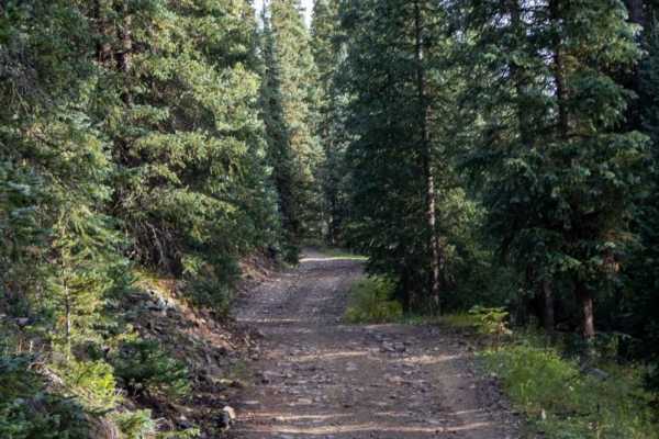
Chattanooga Trail
This road will lead to the trailhead for the Columbine Lake hike. Vehicles are often parked on the shoulder, so use caution. The beginning of the Northern part of the trail will have you crossing Mineral Creek, which should typically only be a few inches deep, but there is potential for higher water...
Learn more about Chattanooga Trail
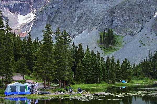
Ophir Pass
Ophir Pass is a scenic high-alpine off-road route through Colorado’s San Juan Mountains, connecting the historic town of Ophir with U.S. Highway 550 north of Silverton. The trail climbs to approximately 11,800 feet and offers expansive views of the Upper Ophir Valley, surrounding peaks, alpine tundr...
Learn more about Ophir Pass
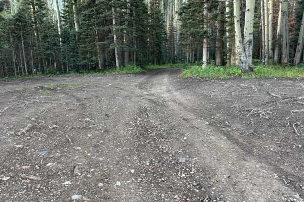
Sunshine Mesa
This route begins as an easy, well-maintained dirt and gravel road that should be suitable for most AWD vehicles or 2WD vehicles with decent ground clearance. The lower section travels through open meadows and dense stands of aspen and evergreen trees, with impressive mountain views along the way. S...
Learn more about Sunshine Mesa
Porphyry Gulch
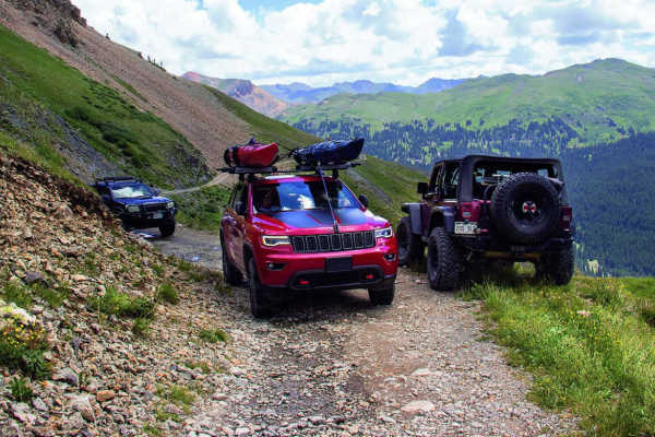
After completing this short trail, you will arrive at a beautiful spot with mountain lakes and waterfalls. If you're in an unlicensed vehicle, you may have trouble finding room to stage at the trailhead. Some drivers head in through the entrance to Black Bear, but the cut-over to this trail is unmar...
Learn more about Porphyry Gulch
Black Bear Pass
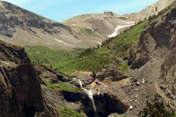
Black Bear Pass trail is one of Colorado's most well-known Jeep trails. This 9.9-mile route deep in the Rocky Mountains begins at U.S. 550 at Red Mountain Pass and climbs to heart-stopping heights before the famous descent into Telluride. Views of historic mines and majestic waterfalls, including th...
Learn more about Black Bear Pass
East Fork Trail
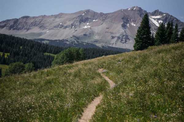
East Fork Trail is a really rocky and rooty single track that starts right off of Lizard Head Pass near Telluride, Colorado. There is a staging area fit for a couple of trailers, with tons of camping nearby, and it is popular for mountain bikers horses, and hikers. The trail has tight curves, exposu...
Learn more about East Fork Trail
Chicago Tunnel Trail
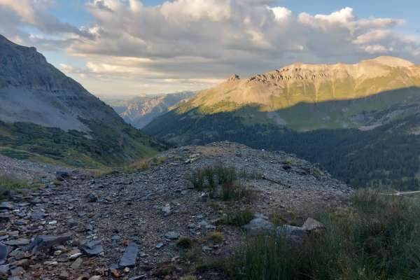
This steep, loose, rutted, and often off-camber trail with tight switchbacks that climbs up to the Chicago Tunnel Mine--is not recommended for novice or inexperienced drivers. This out-and-back trail has one turnaround at the top. If you don't make it you will have to back down in a 4-wheel vehicle....
Learn more about Chicago Tunnel Trail
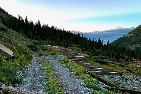
Old mine roads off of Imogene Pass Rd
These are some old mine roads you can take off the Imogene Pass and will loop back, whether going up or down Imogene Pass Road. There is a closed mine tunnel with rails, old housing mine structures and a nice view of the valley at High Point Road. Some other short roads branch off of it to other poi...
Learn more about Old mine roads off of Imogene Pass Rd
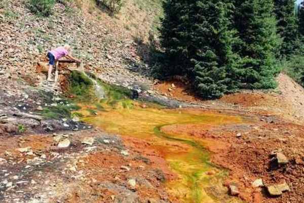
Porcupine Gulch
Porcupine Gulch is a short, lesser-known mountain track off County Road 110 near Silverton, Colorado, offering offroaders a quiet escape to a historic mine site away from the more crowded Alpine Loop routes. This route is ideal for drivers of stock high-clearance 4x4 vehicles, SxSs, and OHVs looking...
Learn more about Porcupine Gulch
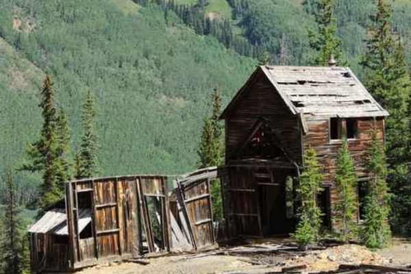
Red Mountain Pass
Red Mountain Pass is an easy Jeep trail that features old mining structures and great alpine scenery. You'll connect with Highway 550 near the middle of the trail, so it can be divided into two sections. The northern section is visible from the Red Mountain Mining History Viewpoint on Highway 550. T...
Learn more about Red Mountain Pass
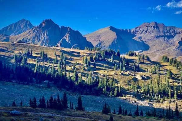
Sidney Basin
Short trail off of Governors Basin trail in Ouray. It leads to some open meadows, some nice views and an old abandoned mine. Be aware there is another trail to the east on the map indicated with dotted lines. It is a VERY narrow trail with no areas to pass another vehicle and areas washing out, so b...
Learn more about Sidney Basin
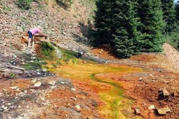
Hancock Gulch
Hancock Gulch is the southernmost gulch and is the closest to Silverton. This is mostly a trail through the forest, but breaks out into the open at the end, offering good views of the alpine area above and of distant peaks. Most difficult of the four gulches, but still only rated 4. Turn around be...
Learn more about Hancock Gulch
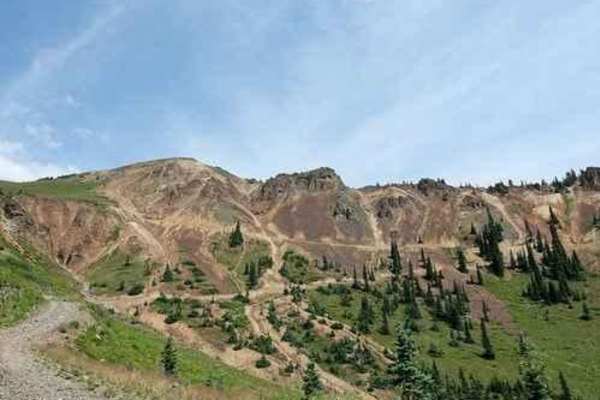
Georgia Gulch
Georgia Gulch is an exceptional alpine offroad trail for moderate 4x4 drivers and OHV enthusiasts looking to escape the heavier crowds of Silverton's main passes while enjoying spectacular high-country scenery. Spanning nearly two miles, this dirt path climbs approximately 1,480 feet out of the vall...
Learn more about Georgia Gulch

Cty Rd 6 - Christ of the Mines Shrine
This scenic, entry-level drive on the north side of Silverton, Colorado, is perfect for families, beginners, and anyone looking for a quick, high-reward excursion with spectacular views of the historic town. Starting near the San Juan County Courthouse on 15th Street, County Road 6 (also known as th...
Learn more about Cty Rd 6 - Christ of the Mines Shrine
ATV trails near Ophir, Colorado
Explore ATV-friendly trails near you. These trails are accessible for vehicles up to 50 inches wide, perfect for ATVs and smaller off-road machines.
Galloping Goose Road
This route follows a portion of the historic Rio Grande Southern Railroad grade as it travels around Trout Lake and leads directly to the remaining Rio Grande Southern trestle bridge. The road consists primarily of a well-maintained gravel and packed dirt surface and passes through a mixture of open...
Learn more about Galloping Goose Road
Trestle Road
This route continues around the Trout Lake area, connecting Galloping Goose Road back to Highway 145. The road travels through a mix of dense evergreen forest, stands of aspen, open grassy areas, and sections overlooking the surrounding mountain slopes. Much of the route follows a wide dirt and grav...
Learn more about Trestle Road
Middle Fork Mineral Creek
Middle Fork Mineral Creek is a short, scenic spur trail off Ophir Pass that is perfect for four-wheel-drive enthusiasts looking to access a secluded streamside campsite or explore historic mining relics. Spanning just over a third of a mile (approximately 1,900 feet), this route descends quickly fro...
Learn more about Middle Fork Mineral Creek
Silver Cloud Mine
Silver Cloud Mine is a short but scenic four-wheel-drive route located off US Highway 550 south of Red Mountain Pass, offering offroaders a brief but rewarding climb to a historic mining site. Starting near Mill Creek at an elevation of approximately 10,500 feet, this 1.16-mile trail climbs steadily...
Learn more about Silver Cloud Mine
UTV/side-by-side trails near Ophir, Colorado
Find UTV and side-by-side trails near you. These trails accommodate vehicles up to 60 inches wide, ideal for UTVs, side-by-sides, and wider off-road rigs.
Galloping Goose Road
This route follows a portion of the historic Rio Grande Southern Railroad grade as it travels around Trout Lake and leads directly to the remaining Rio Grande Southern trestle bridge. The road consists primarily of a well-maintained gravel and packed dirt surface and passes through a mixture of open...
Learn more about Galloping Goose Road
Trestle Road
This route continues around the Trout Lake area, connecting Galloping Goose Road back to Highway 145. The road travels through a mix of dense evergreen forest, stands of aspen, open grassy areas, and sections overlooking the surrounding mountain slopes. Much of the route follows a wide dirt and grav...
Learn more about Trestle Road
Middle Fork Mineral Creek
Middle Fork Mineral Creek is a short, scenic spur trail off Ophir Pass that is perfect for four-wheel-drive enthusiasts looking to access a secluded streamside campsite or explore historic mining relics. Spanning just over a third of a mile (approximately 1,900 feet), this route descends quickly fro...
Learn more about Middle Fork Mineral Creek
Silver Cloud Mine
Silver Cloud Mine is a short but scenic four-wheel-drive route located off US Highway 550 south of Red Mountain Pass, offering offroaders a brief but rewarding climb to a historic mining site. Starting near Mill Creek at an elevation of approximately 10,500 feet, this 1.16-mile trail climbs steadily...
Learn more about Silver Cloud Mine
The onX Offroad Difference
onX Offroad combines trail photos, descriptions, difficulty ratings, width restrictions, seasonality, and more in a user-friendly interface. Available on all devices, with offline access and full compatibility with CarPlay and Android Auto. Discover what you're missing today!
Open Trail Map