Trail Overview
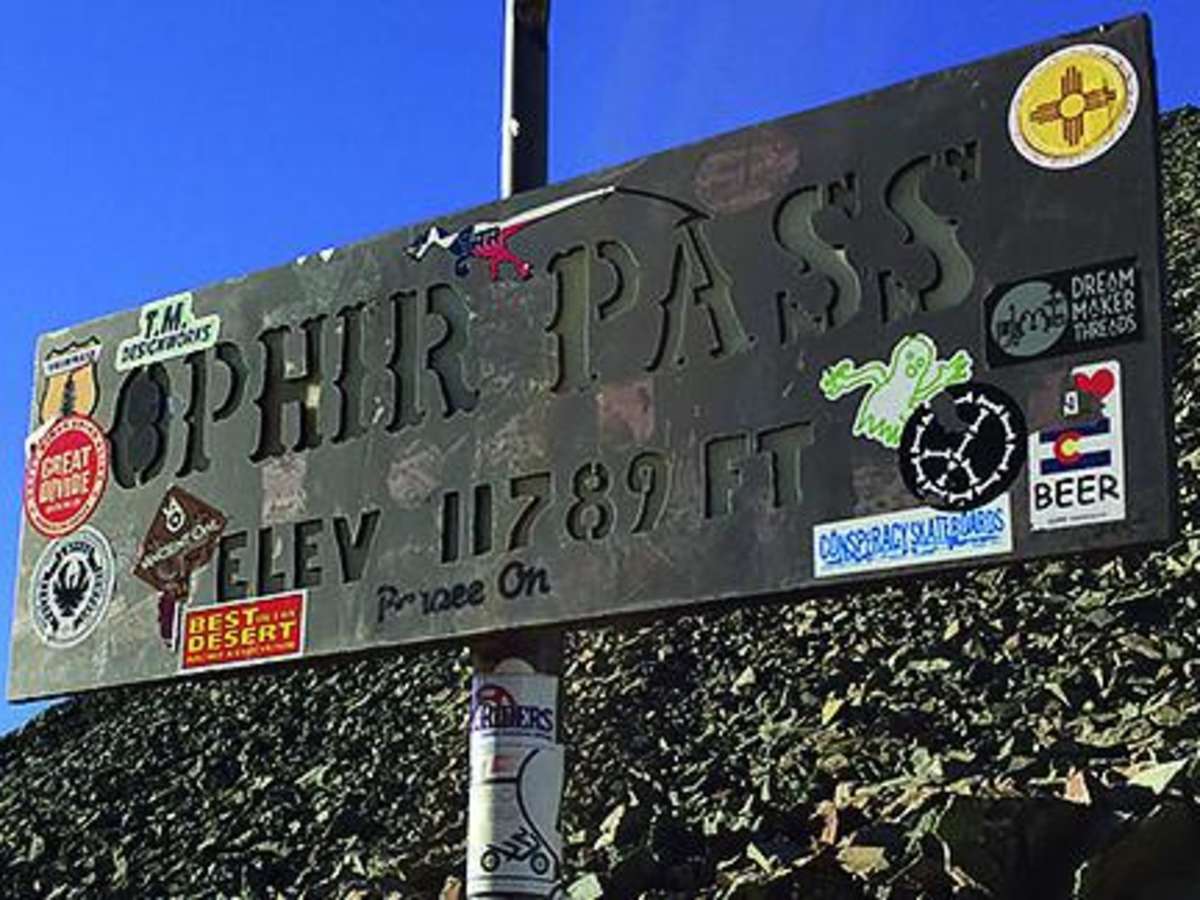
Ophir Pass is a scenic high-alpine off-road route through Colorado’s San Juan Mountains, connecting the historic town of Ophir with U.S. Highway 550 north of Silverton. The trail climbs to approximately 11,800 feet and offers expansive views of the Upper Ophir Valley, surrounding peaks, alpine tundra, and seasonal wildflowers.
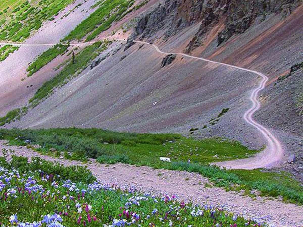
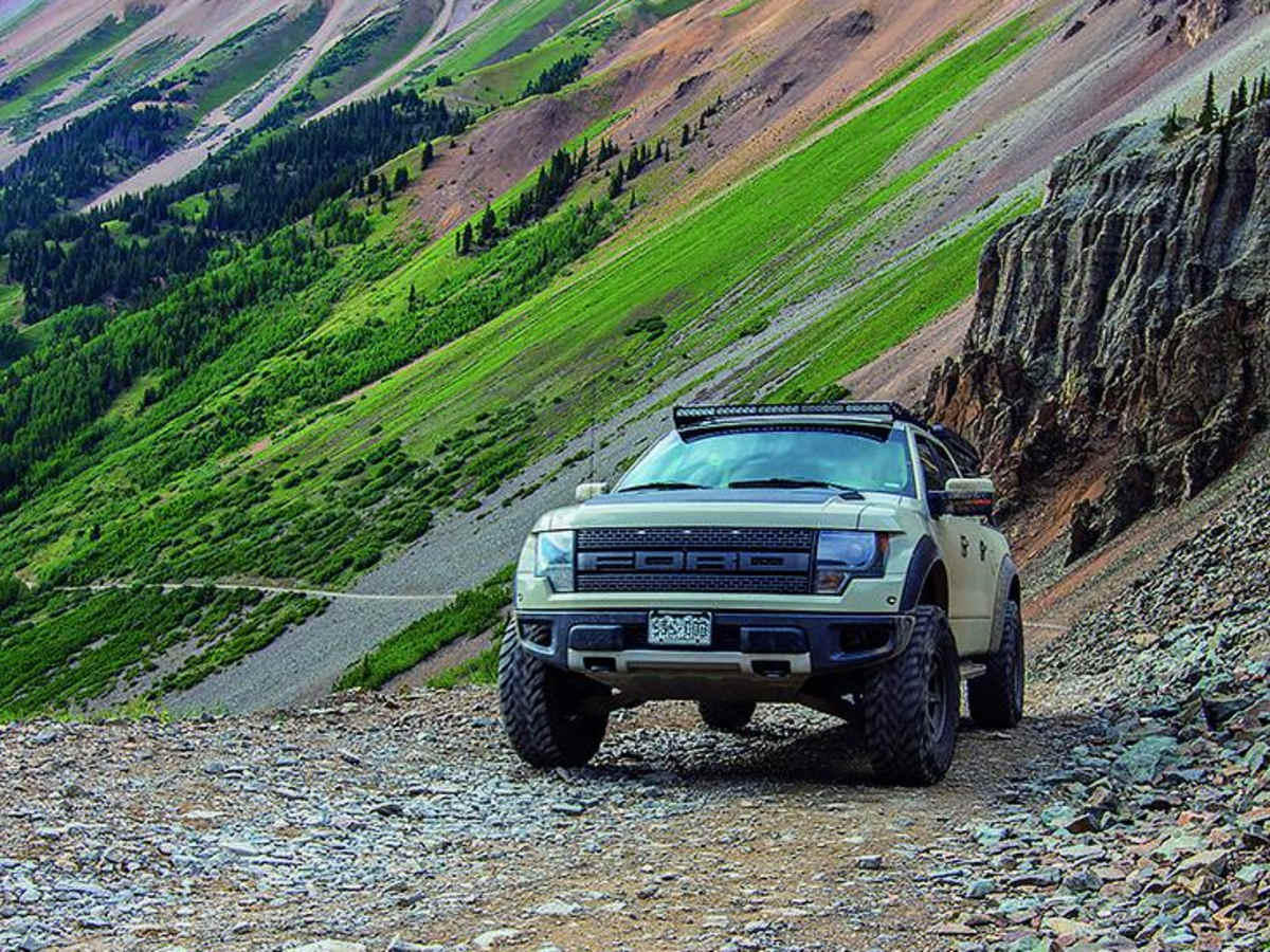
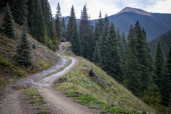
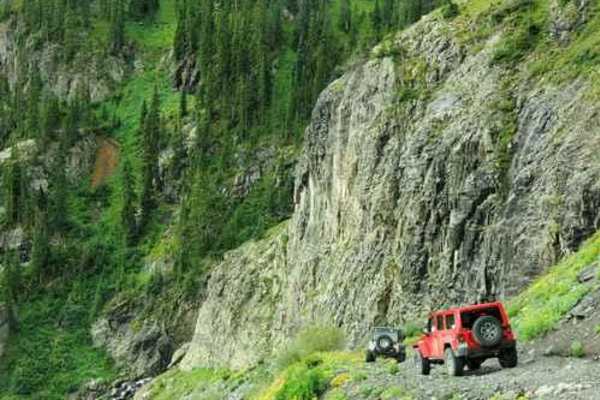
Most of Ophir Pass Road is relatively approachable for a high-clearance 4WD vehicle, but drivers should be prepared for loose rock, steep grades, and a narrow shelf-road section on the Ophir side of the pass. Passing can be difficult along this stretch, and downhill vehicles should yield to uphill traffic.
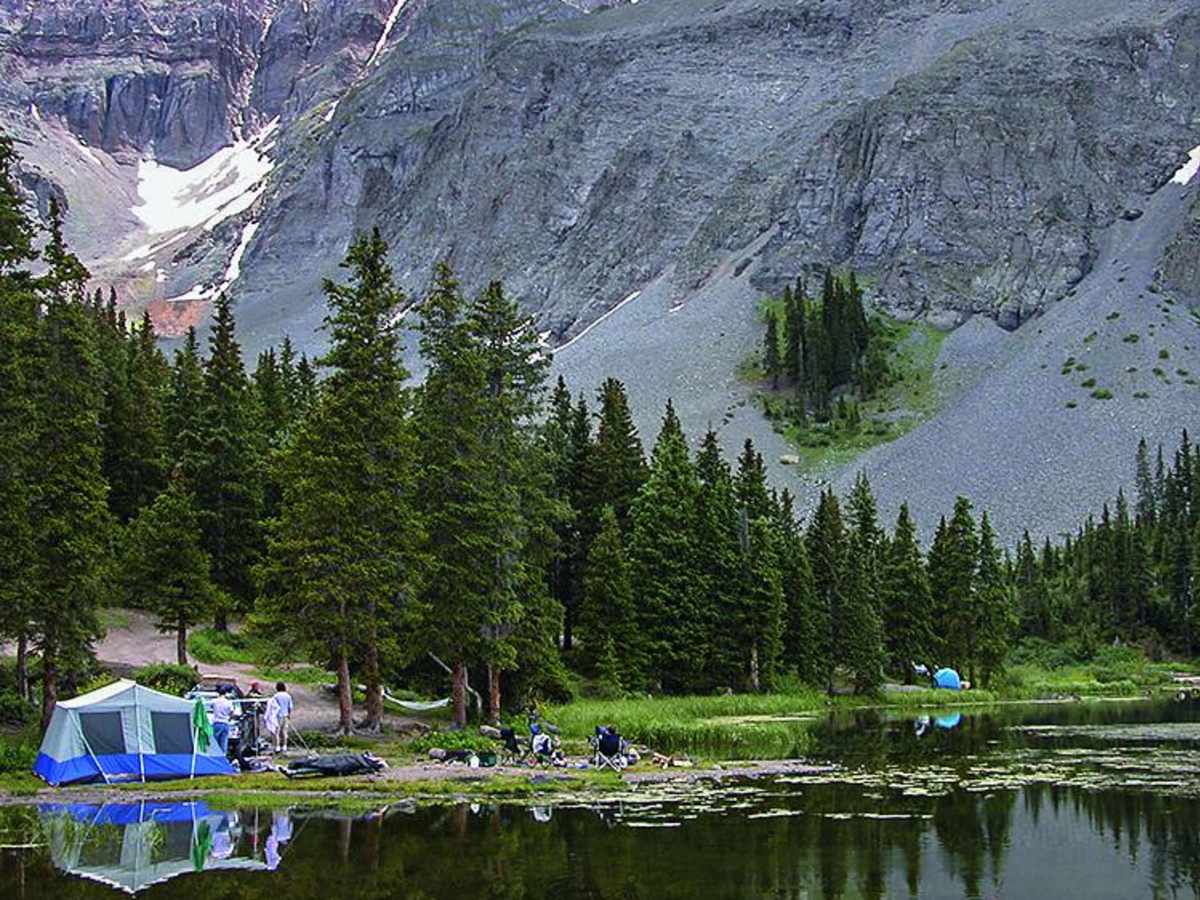
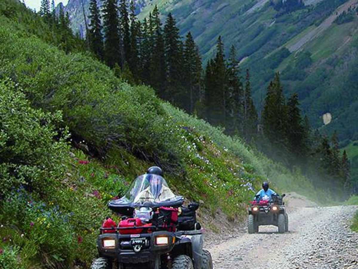
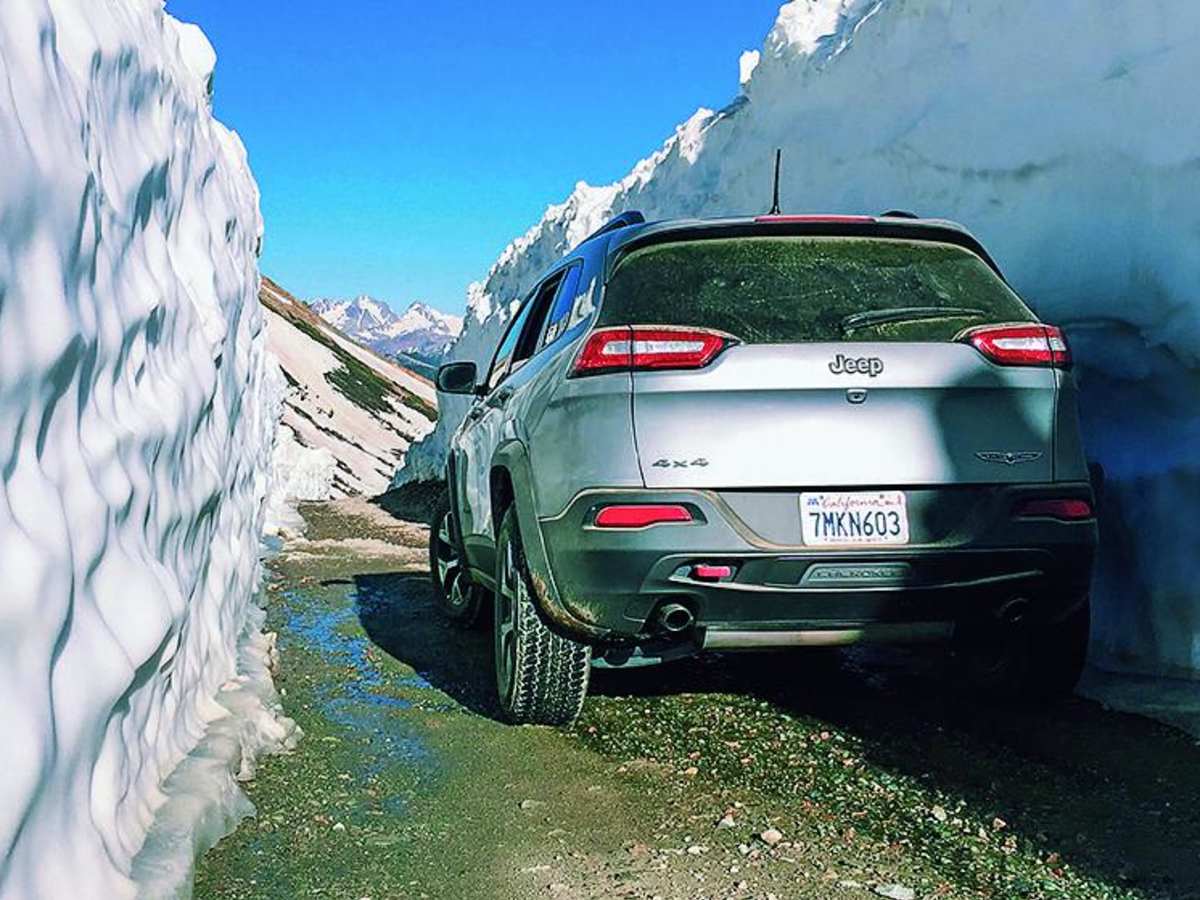
Nearby Alta Lakes is a popular side trip for mountain views, wildflowers, fishing, and designated camping. Unlicensed off-highway vehicles are permitted on portions of Ophir Pass Road but cannot be driven through the town of Ophir. Snow can remain well into early summer, so check current road conditions and seasonal closures before starting the trail.
Difficulty
Moderate. Applies to narrow, rocky shelf road on the west side of Ophir Pass. Passing an oncoming vehicle can be a little scary for a novice driver. Wait for traffic to clear before starting across. The last tenth of a mile to Alta Lakes is rocky and requires high clearance to reach camping.
History
Built in 1891, Ophir Pass was originally a toll road between Silverton and Telluride. The town of Ophir was a supply town for hundreds of mines in the area. Today it is a quaint residential community. Alta was once a bustling mining town serving the Alta-Gold King area from 1877 to 1948 when the mill was destroyed by fire. This was one of the first towns in Colorado where alternating electrical current was used for power.