Trail Overview
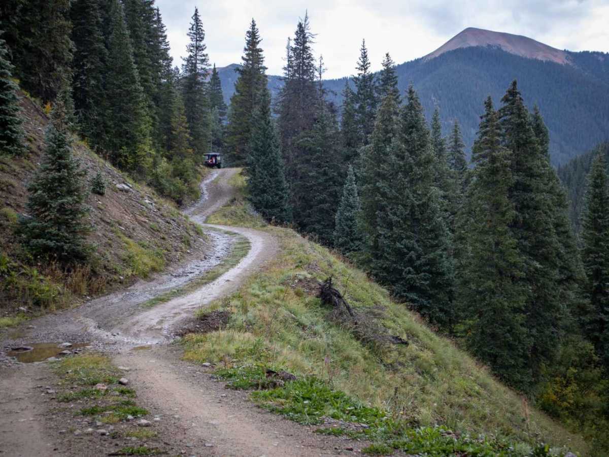
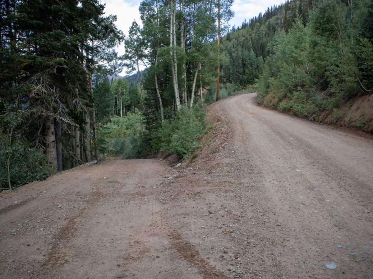
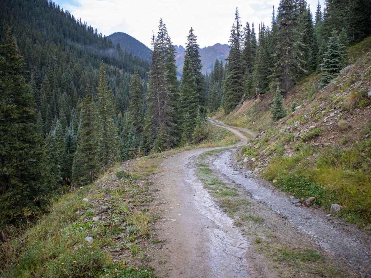
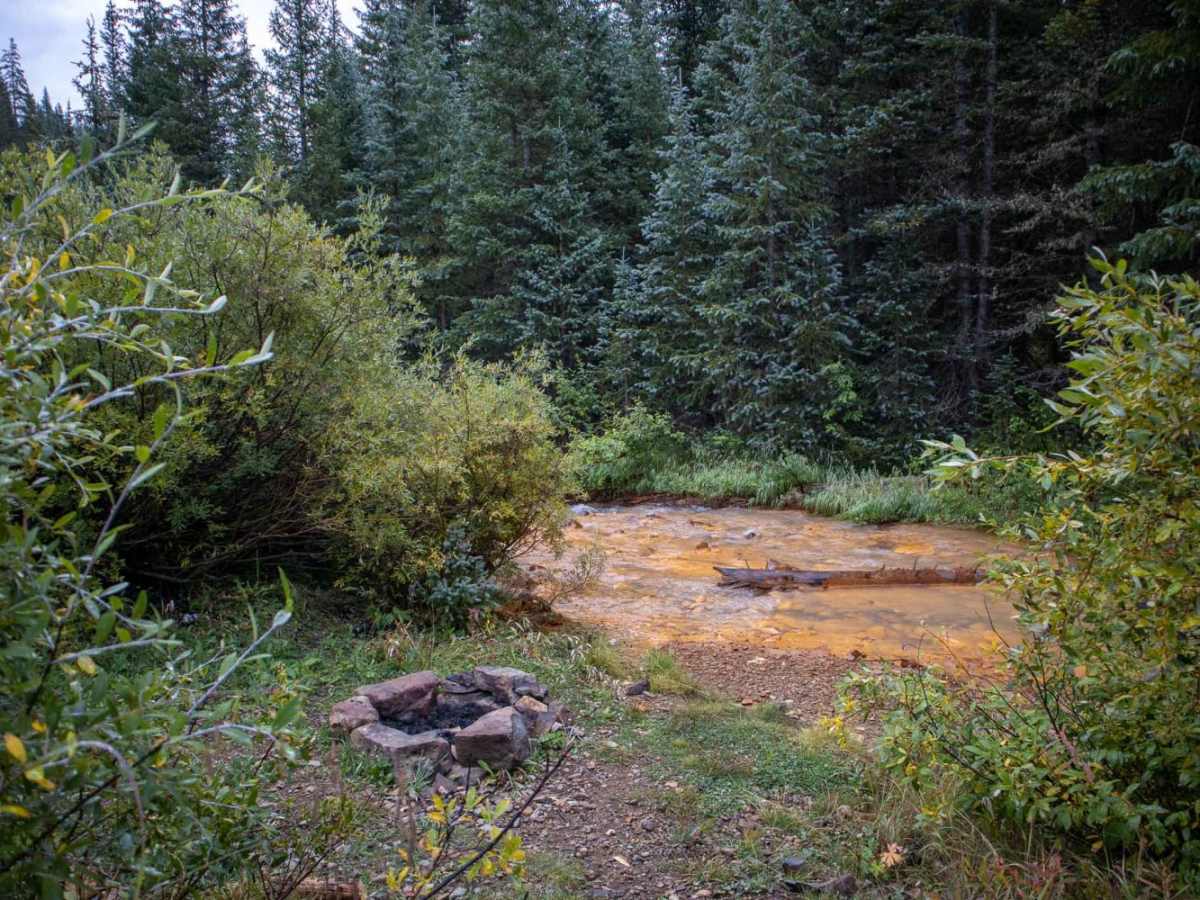
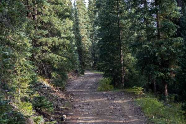
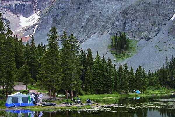
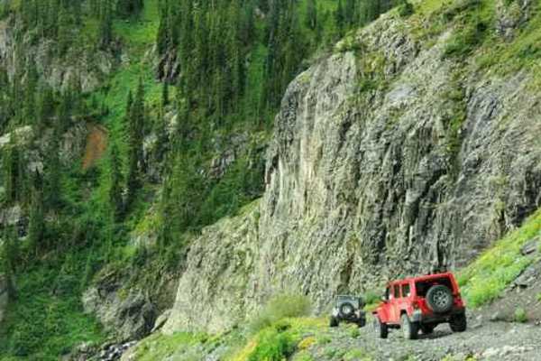
Middle Fork Mineral Creek is a short, scenic spur trail off Ophir Pass that is perfect for four-wheel-drive enthusiasts looking to access a secluded streamside campsite or explore historic mining relics. Spanning just over a third of a mile (approximately 1,900 feet), this route descends quickly from its intersection with Forest Service Road 679, dropping about 175 feet in elevation down to the creek. The trail features a technical rating of 3, meaning it is suitable for stock four-wheel-drive vehicles, high-clearance SxSs, and dirt bikes, though low-clearance vehicles are highly discouraged due to the steep descent and rocky terrain. Upon reaching the bottom, offroaders will find a picturesque campsite situated right along the water, complete with two established rock fire rings.
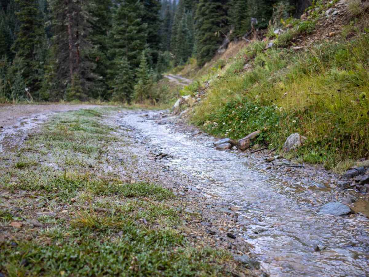
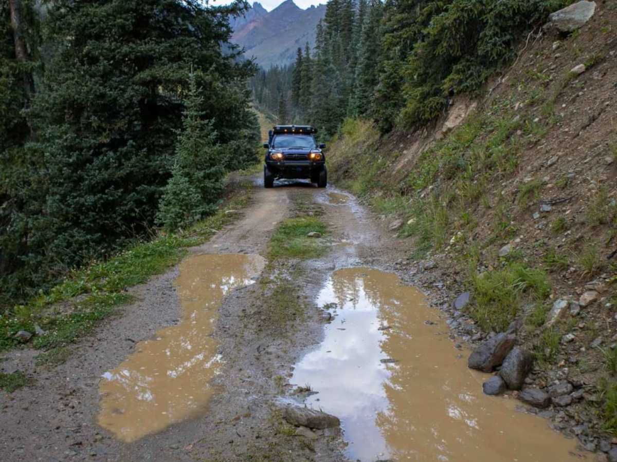
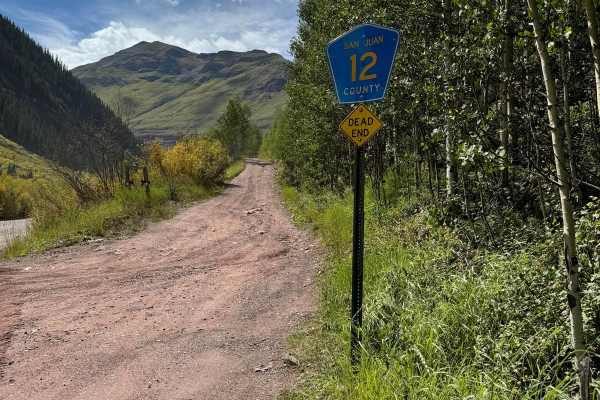
Beyond the creek crossing, the trail splits into two forks, with the right fork quickly dead-ending and the left fork narrowing significantly as it climbs toward the historic Bonner Mine area. This section requires careful tire placement and a narrow track width to navigate safely past mountain drop-offs. Seasonal conditions can heavily affect the route, with early summer snowmelt or heavy afternoon thunderstorms creating deep water crossings and muddy trail surfaces. The route sits at an elevation between 10,085 and 10,262 feet and is not maintained during the winter months, making late summer the ideal time to explore. Visitors should be prepared for high-altitude weather changes and ensure their vehicles are equipped to handle steep, unpaved grades.