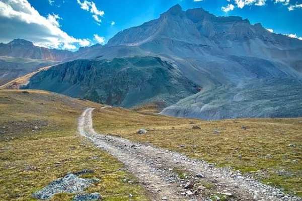
Trail Overview
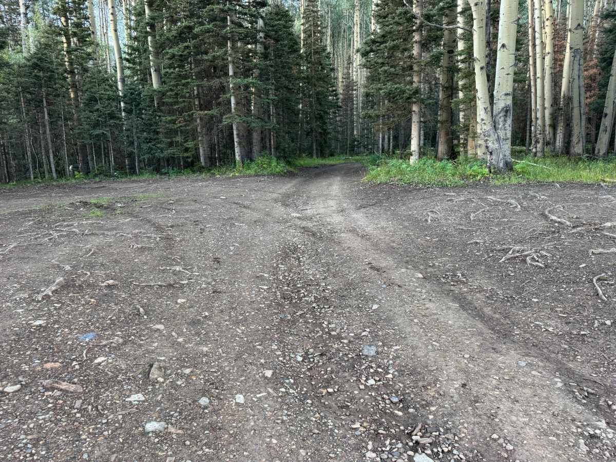
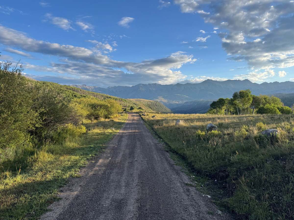
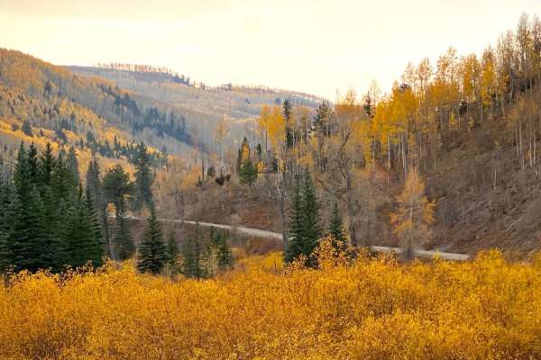
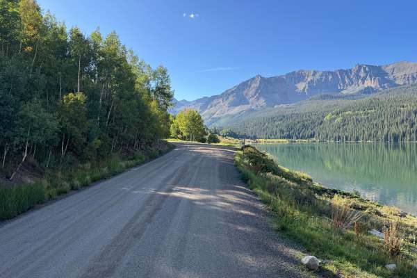
This route begins as an easy, well-maintained dirt and gravel road that should be suitable for most AWD vehicles or 2WD vehicles with decent ground clearance. The lower section travels through open meadows and dense stands of aspen and evergreen trees, with impressive mountain views along the way. Several private driveways branch from the route, so remain on the designated road and respect private property.
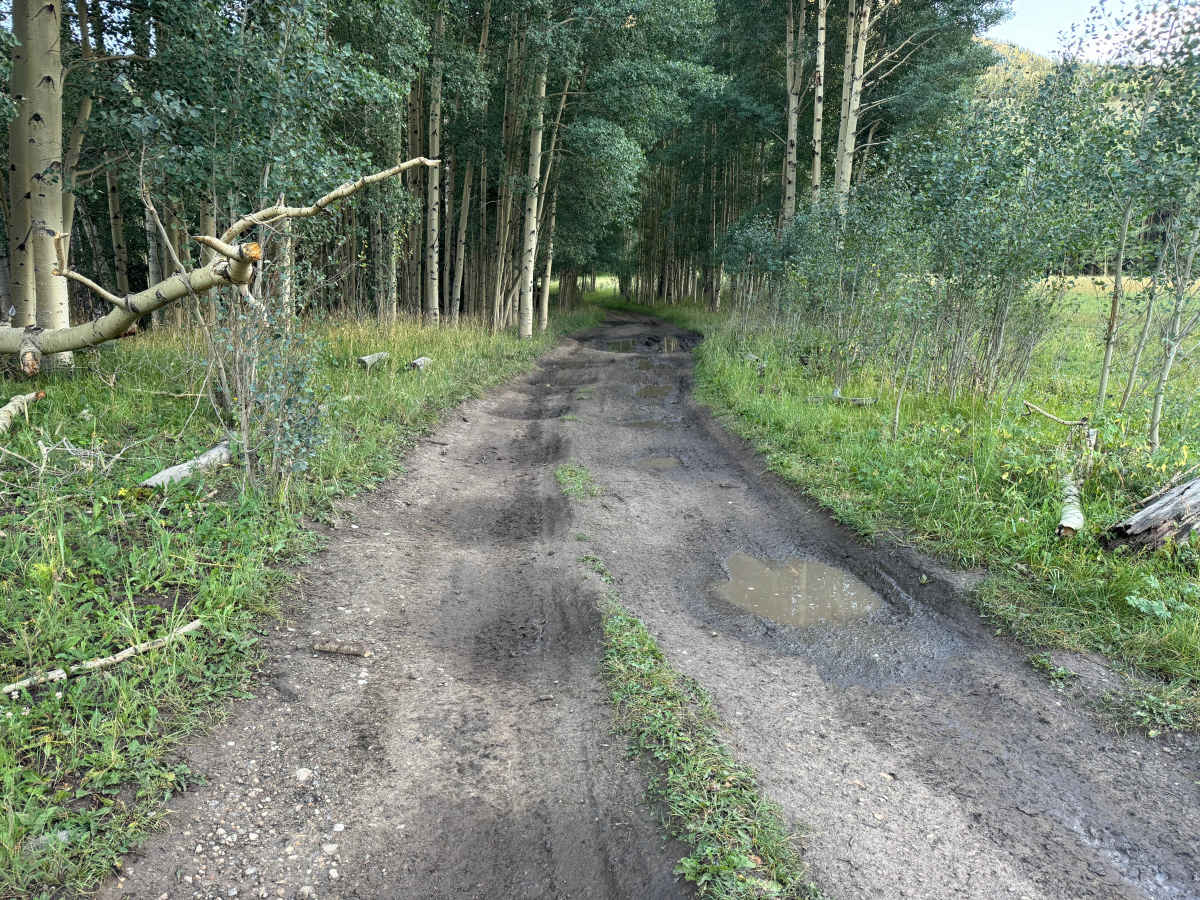
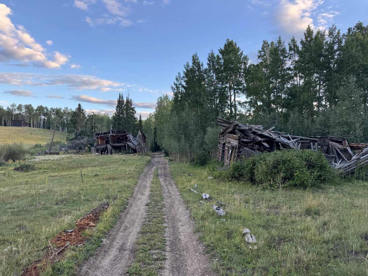
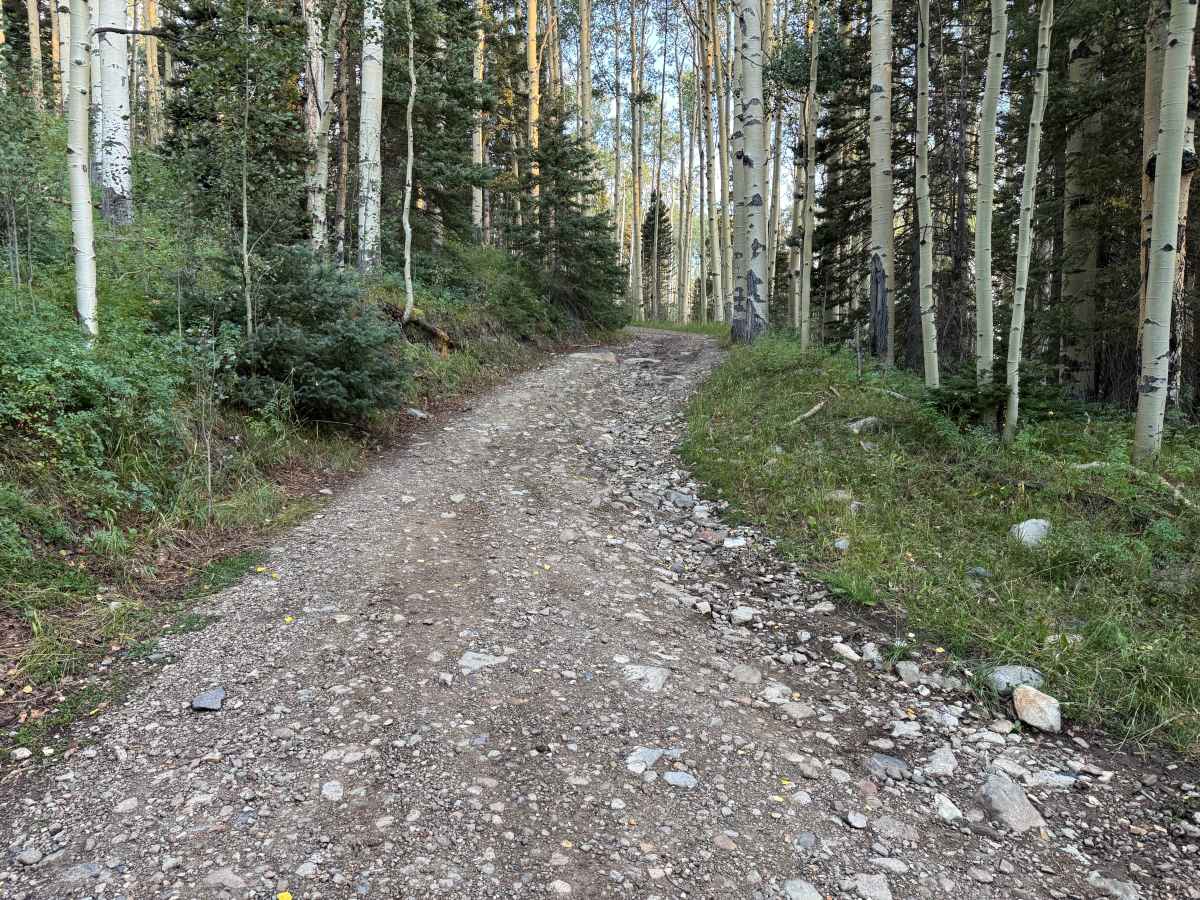
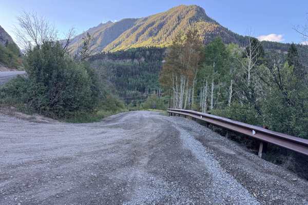
After reaching the junction with the Galloping Goose hiking trail, the route becomes steeper, rockier, and noticeably less maintained. A high-clearance 4x4 is recommended beyond this point. Expect loose rock, exposed roots, uneven terrain, ruts, and muddy sections with standing water that may become slick or deeply rutted after rain. Near the upper portion, the route passes several deteriorating historic-looking structures that may be associated with an old homestead, mining, or logging activity. These structures are on private property and should not be entered or disturbed. The route eventually ends at an open parking and camping area.
Difficulty
The route begins easy on maintained dirt and gravel but becomes steeper, rockier, and more rutted beyond the Galloping Goose junction. Mud, exposed roots, loose rock, and uneven terrain may require careful tire placement. High-clearance 4x4 is recommended for the upper section.
History
The Telluride area was shaped by mining and the transportation networks built to support it. Gold and silver discoveries during the late 1800s brought mines, mills, settlements, wagon roads, and eventually the Rio Grande Southern Railroad into these mountains. The railroad connected Telluride and nearby mining districts with communities throughout southwestern Colorado. During its later years, the famous Galloping Goose railcars carried passengers, mail, and freight along portions of the corridor that are now used for recreation. Remnants of mines, railroad grades, structures, and other historic workings can still be found throughout the surrounding mountains.