Trail Overview
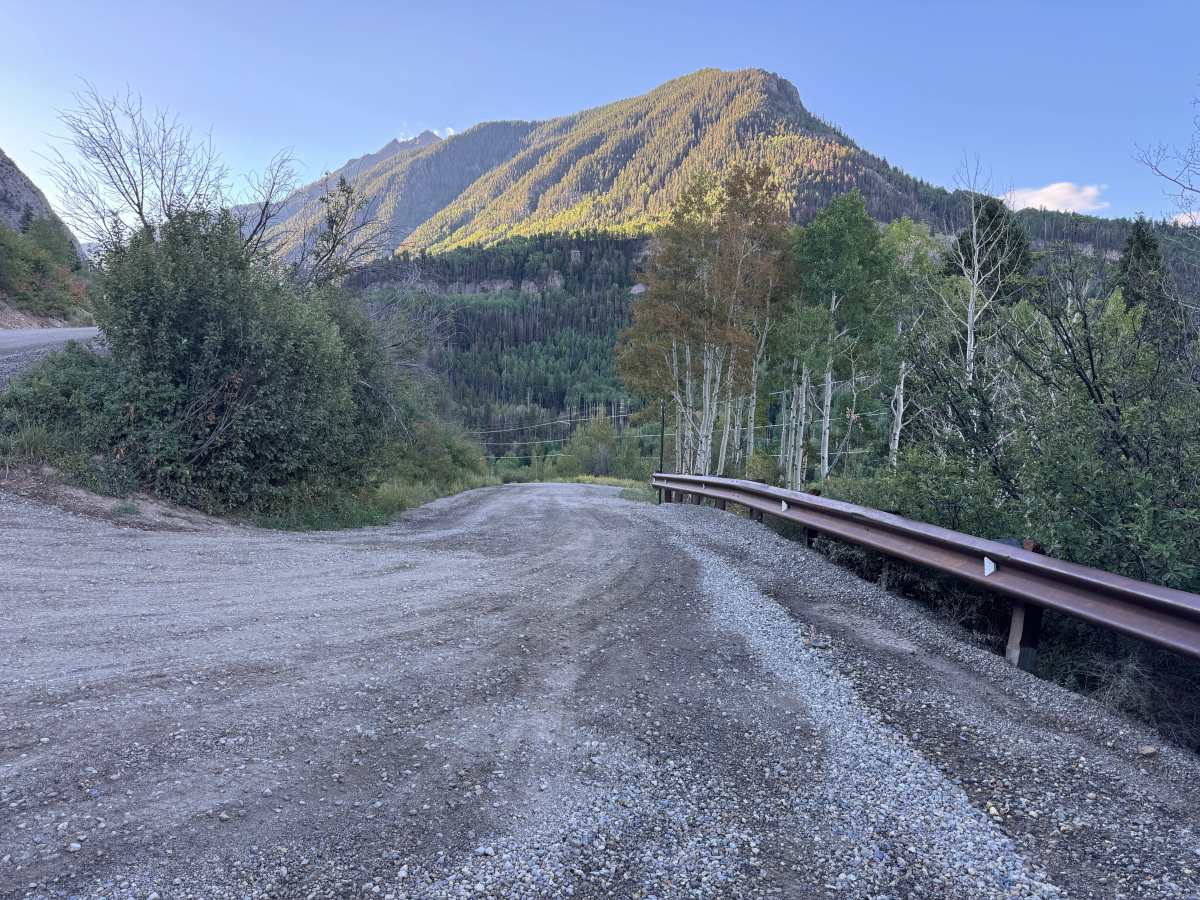
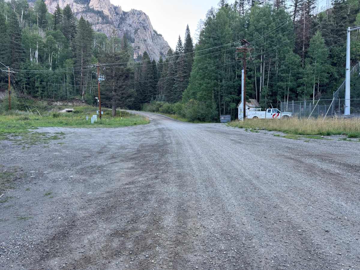
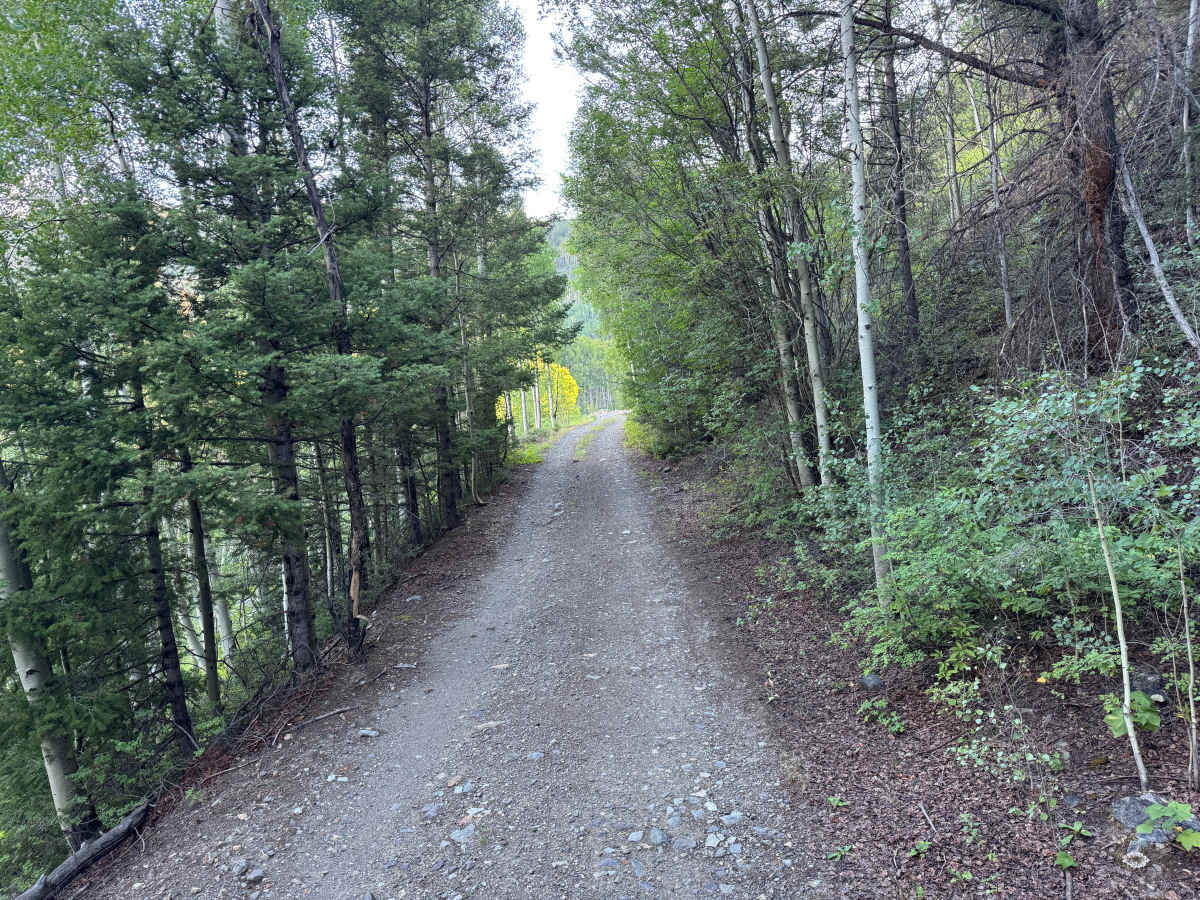
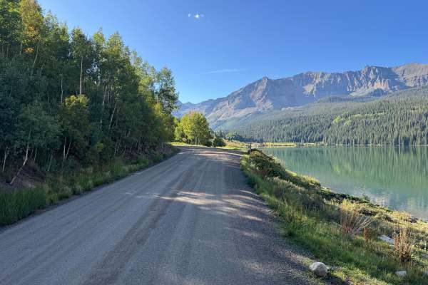
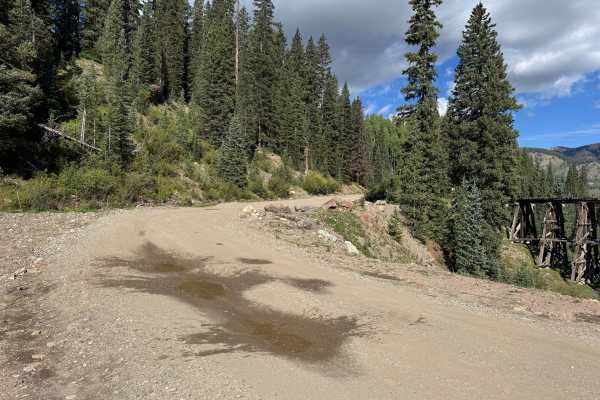
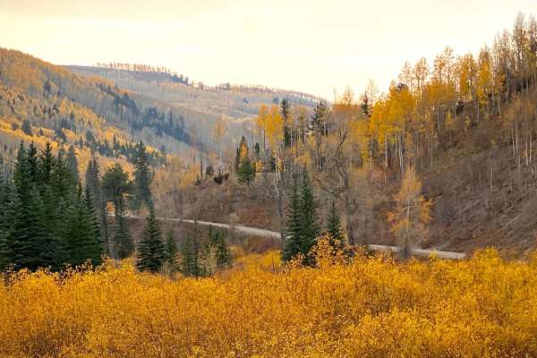
This route travels past the Ames Station, a historic hydroelectric power plant that provides electricity to the surrounding area, before winding its way higher into the mountains. The surrounding landscape transitions between thick stands of aspen and evergreen forest, with openings that provide views of the surrounding mountain terrain. Portions of the route follow the historic Rio Grande Southern railroad grade, giving travelers an opportunity to experience part of the region’s railroad history. The area also contains evidence of its extensive mining past, along with information about reclamation efforts conducted to clean up waste material left by mining operations from the 1940s through the 1970s. The combination of railroad history, mining history, dense mountain forests, and changing scenery makes this a particularly interesting route to explore.
Difficulty
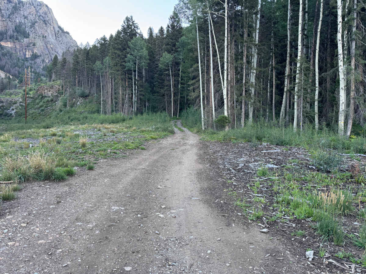
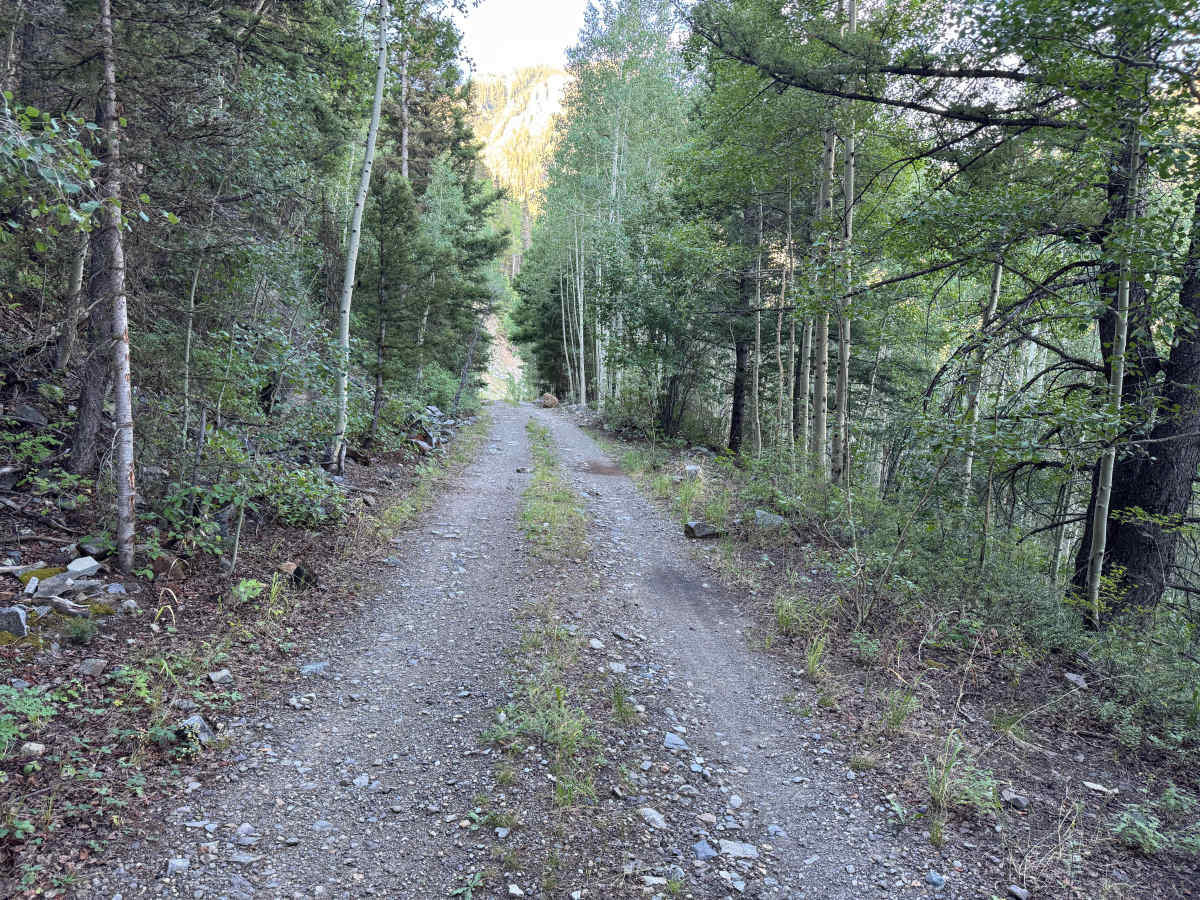
Generally easy with a dirt and gravel surface, but several steeper climbs make a high-clearance 4x4 with low range recommended. The route is narrow with limited passing opportunities, and an area prone to rockslides may occasionally become difficult or impassable.
History
The Telluride area was shaped by mining and the transportation networks built to support it. Gold and silver discoveries during the late 1800s brought mines, mills, settlements, wagon roads, and eventually the Rio Grande Southern Railroad into these mountains. The railroad connected Telluride and nearby mining districts with communities throughout southwestern Colorado. During its later years, the famous Galloping Goose railcars carried passengers, mail, and freight along portions of the corridor that are now used for recreation. Remnants of mines, railroad grades, structures, and other historic workings can still be found throughout the surrounding mountains.

 Offroad