
Dirt Bike Trails
Near Mina, Nevada
Explore All Dirt Bike Trails Near Mina, Nevada
Dirt Bike Trails Near Mina, Nevada
Discover the best dirt bike trails near you. Browse trail maps, check difficulty ratings, and find your next adventure — whether you're looking for a quick ride or an all-day expedition.
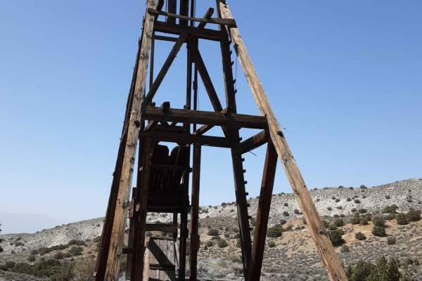
The Road to the Simon Lead Mine
This scenic 23.2-mile trail is ideal for intermediate offroaders, SxSs, and high-clearance four-wheel-drive vehicles looking to explore Nevada’s rich mining history. Starting on the east side of State Highway 95 in Mina, Nevada, the route begins as a well-maintained dirt road that climbs steadily fr...
Learn more about The Road to the Simon Lead Mine
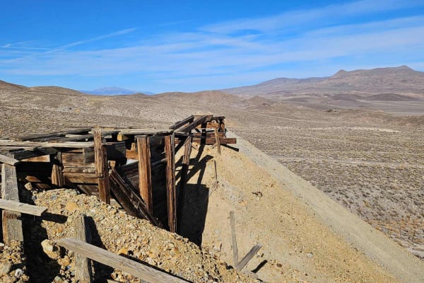
Rebel Canyon Loop
This is a fairly short route that takes you to Douglas Camp, an area of several mines. It loops out through Rebel Canyon. There are active mining claims if you continue up towards Thunder Mountain, please respect the claim owners and don't go beyond posted signs. The Maryann Mine is on the way down ...
Learn more about Rebel Canyon Loop
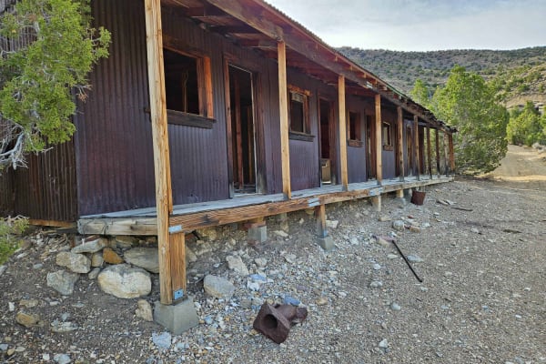
Mina Mercury Mine Loop
The route is easy to drive and can be done with almost any vehicle. However, if conditions are wet or snowy, the route is much more difficult. This is a nice half-day trip with several other mine sites that can be visited along the way. To get to the route, take Simon Lead Road east from Mina.
Learn more about Mina Mercury Mine Loop
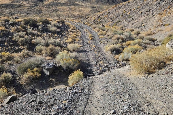
Rattlesnake Canyon
This route takes you from the Mina area to Little Huntoon Valley. It is easy and can be completed in dry conditions with a 2WD full-size vehicle. You cross Garfield Flat where Aerojet General uses the dry lakebed for a test facility. After the dry lakebed, you can follow Rattlesnake Flats Road for a...
Learn more about Rattlesnake Canyon
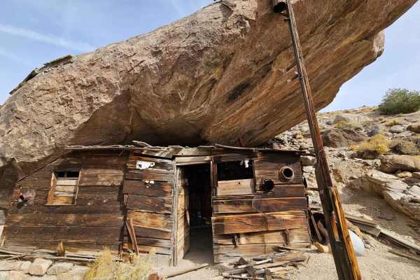
Cabin Under a Rock
This trip starts you at the Marrietta site with some ruins in various steps of decay. There are a few people that live there, watch your speed and dust. The whole area around Marietta is the Nation's first formally recognized Wild Burro Range. The 68,000-acre range is managed for between 78-104 wild...
Learn more about Cabin Under a Rock
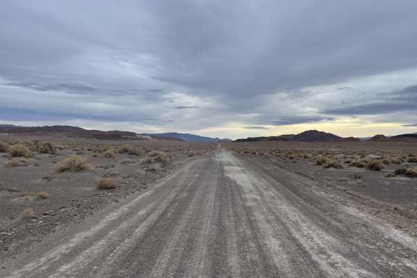
Emigrant Trail to "The Crossing"
A pretty drive to get you from the highway back to a network of fun trails and some dispersed camping spots. The drive takes you all the way through rocky canyons and alongside marshy tall grasses. Once you crest the hill, the valley is laid out before you, showing some of the wetlands and marshy, g...
Learn more about Emigrant Trail to "The Crossing"
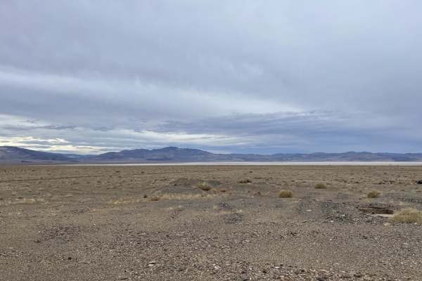
The Burned Out Ghost Town of Coalville to Emigrant Pass Road
Mostly easy dirt and sand trail that runs along the highway for a bit before cutting inland. Feel free to start or stop in the abandoned and mostly burned-out stopover town of Coalville. It's a must-see if you are a fan of graffiti art, abandoned buildings, and the history of a time long since past....
Learn more about The Burned Out Ghost Town of Coalville to Emigrant Pass Road
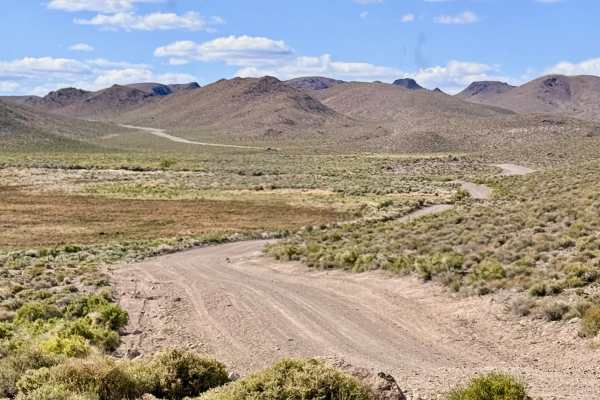
Cloverdale Ranch Road
Cloverdale Ranch Road is a quintessential "desert highway," offering a wide, well-graded, and high-speed dirt corridor that crisscrosses the expansive Nevada landscape. Because the road consists of well-compacted gravel and native materials, it is one of the most reliable routes in the district when...
Learn more about Cloverdale Ranch Road
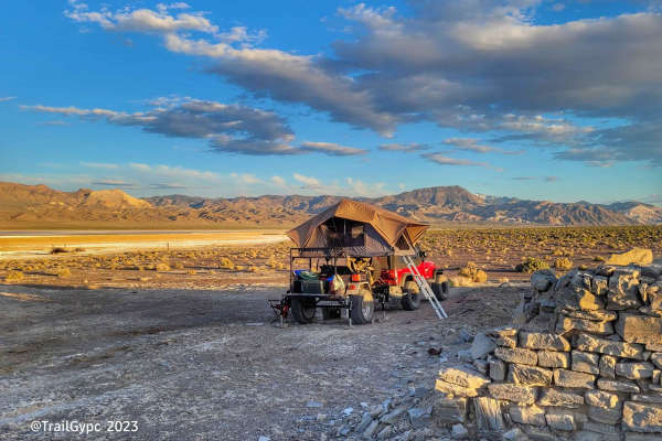
Fish Lake Playa
This is an old borax harvesting route on the west side of the Fish Lake Playa outside of the town of Dyer, Nevada. This trail offers a fairly easy way around the playa and a side trip to see the borax workings and adobe remains. The route can become sandy in spots, as well as a hard mineral-based gr...
Learn more about Fish Lake Playa
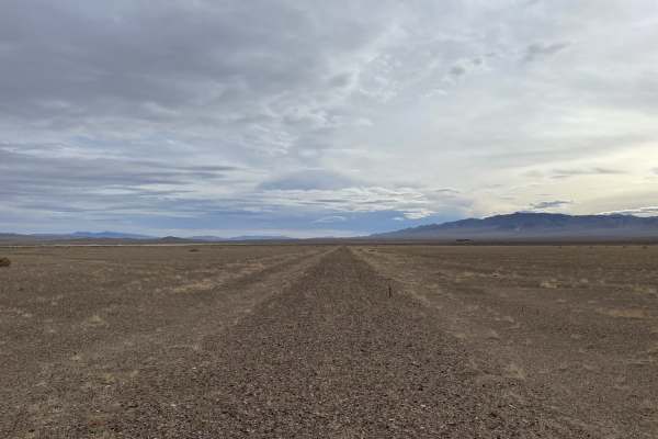
Old Narrow Gage Trail
This is a very rutted, soft, and technical ride along the edge of an old dry lake bed in the great Smoky Valley. Be aware of many deep washouts and look out for vehicle tracks veering off the main trail to avoid the washouts--it's a good sign that a big one is coming up. Sections of the trail almost...
Learn more about Old Narrow Gage Trail
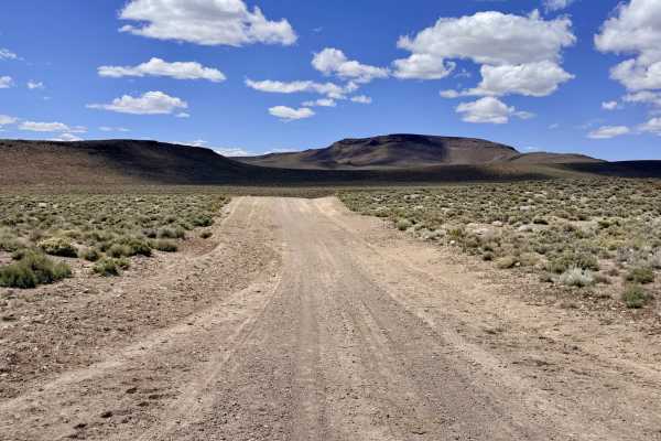
Willow Springs - FS 44427
Willow Springs FS 44427 serves as a primary artery leading explorers from the wide-open desert floor into the rugged, high-altitude foothills of Mount Ardivey. The first 5.7 miles of the route offer a fast and enjoyable drive on a wide, well-graded two-track dirt road. As you reach the junction with...
Learn more about Willow Springs - FS 44427
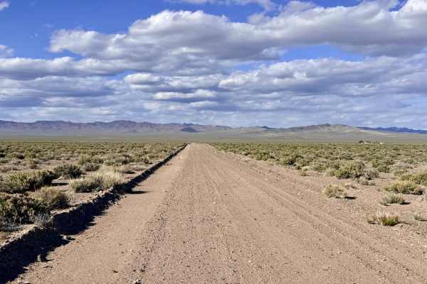
Dicks Road
Dicks Road is a surprisingly well-maintained and "well-grained" single-track trail that provides a delightful shortcut across the expansive valley floor. Connecting the Cloverdale-Peavine corridor to the Gabbs Pole Line Road, this route offers a smooth and efficient way to navigate the basin. The dr...
Learn more about Dicks Road
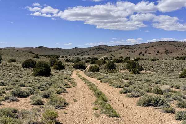
Four Mile Spring Bypass - FS 44428
The Four Mile Spring Bypass is a rewarding, technical mountain route that traverses the rugged spine of the Toiyabe Range, cresting at the impressive Golden Summit at an elevation above 7,000 feet. This trail offers a premier high-altitude experience, winding through a picturesque forest of Pinyon P...
Learn more about Four Mile Spring Bypass - FS 44428
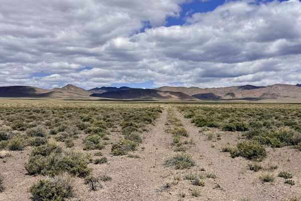
Mississippi Springs
Mississippi Springs is a charming out-and-back trail. While the springs may not flow with the volume of their famous namesake river, this site is a critical oasis in an otherwise arid landscape. The trail serves as a dedicated corridor leading from the high-speed Cloverdale-Peavine Road deep into th...
Learn more about Mississippi Springs
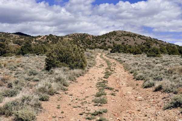
Willow Springs Bypass - FS 44429
The Willow Springs Bypass serves as the rugged and rewarding "second chapter" to the main Willow Springs route. Picking up where the maintained road fades. This trail carries explorers deep into the technical heart of the Mt. Ardivey foothills. The driving experience is spirited and physically deman...
Learn more about Willow Springs Bypass - FS 44429
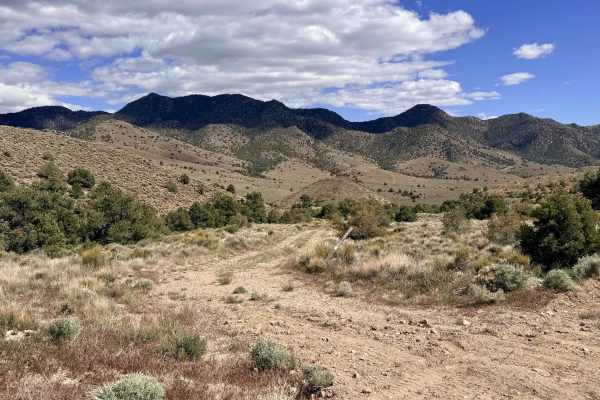
Four Mile Spring- FS 44018B
Four Mile Spring is a very lightly traveled and primitive trail that offers a true test of both vehicle capability and driver patience. The route feels largely forgotten by time, characterized by narrow "brush tunnels" and technical hurdles. The northern segment begins near a turn-off leading to sev...
Learn more about Four Mile Spring- FS 44018B
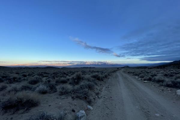
The Easy Way Around Rock Creek
The Easy Way Around Rock Creek is a scenic 3.3-mile point-to-point trail in the Inyo National Forest, perfect for beginner to intermediate offroaders looking for a mild route with access to dispersed camping and the broader forest trail network. Starting near Sagehen Spring at an elevation of approx...
Learn more about The Easy Way Around Rock Creek
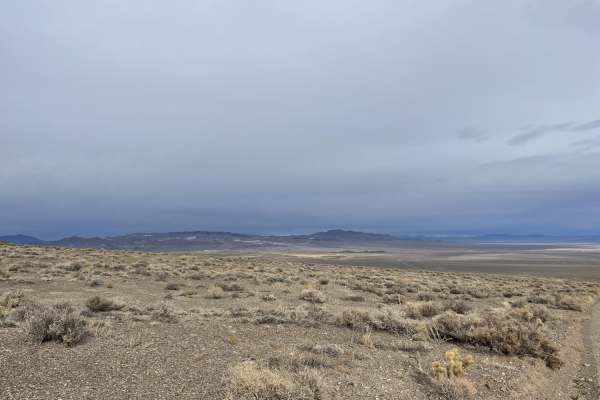
Emigrant Pass from "The Crossing" to Silver Peak Road
Mostly an easy trail with amazing views from the top of the Emigrant pass summit. It can be sandy in spots, especially at wash crossings. You may see Bighorn Sheep and Burros in the area as well as birds of prey. The tail is mostly desert terrain with some jumping cactus and grasslands by the marsh ...
Learn more about Emigrant Pass from "The Crossing" to Silver Peak Road
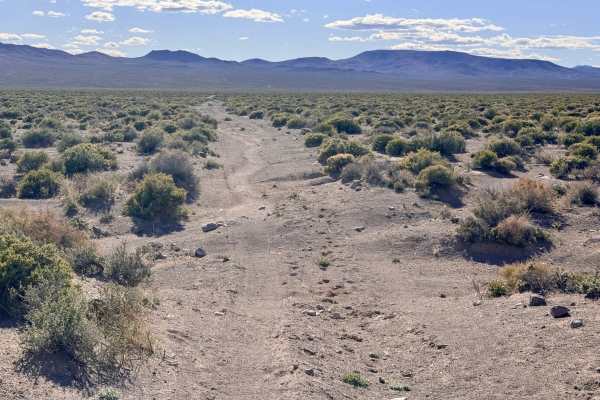
Well Road
Well Road Trail is a surprisingly enjoyable and diverse east-west corridor that cuts across the vast desert basin between Cloverdale-Peavine Road and Gabbs Pole Line Road. This route offers a more intimate, secluded experience than the nearby, graded highways. The journey begins on the eastern side ...
Learn more about Well Road
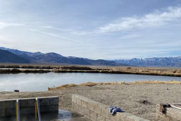
Coyote Rd.
The route starts at Fish Lake hot springs. The water temp is 100 degrees, and the springs is a concrete tub that can fit 12 people comfortably. There are also vault toilets and camping available. The road is wide, gravel and graded. There may be a lot of day traffic coming and going, and the area ma...
Learn more about Coyote Rd.
ATV trails near Mina, Nevada
Explore ATV-friendly trails near you. These trails are accessible for vehicles up to 50 inches wide, perfect for ATVs and smaller off-road machines.
The Road to the Simon Lead Mine
This scenic 23.2-mile trail is ideal for intermediate offroaders, SxSs, and high-clearance four-wheel-drive vehicles looking to explore Nevada’s rich mining history. Starting on the east side of State Highway 95 in Mina, Nevada, the route begins as a well-maintained dirt road that climbs steadily fr...
Learn more about The Road to the Simon Lead Mine
Rebel Canyon Loop
This is a fairly short route that takes you to Douglas Camp, an area of several mines. It loops out through Rebel Canyon. There are active mining claims if you continue up towards Thunder Mountain, please respect the claim owners and don't go beyond posted signs. The Maryann Mine is on the way down ...
Learn more about Rebel Canyon Loop
Mina Mercury Mine Loop
The route is easy to drive and can be done with almost any vehicle. However, if conditions are wet or snowy, the route is much more difficult. This is a nice half-day trip with several other mine sites that can be visited along the way. To get to the route, take Simon Lead Road east from Mina.
Learn more about Mina Mercury Mine Loop
Rattlesnake Canyon
This route takes you from the Mina area to Little Huntoon Valley. It is easy and can be completed in dry conditions with a 2WD full-size vehicle. You cross Garfield Flat where Aerojet General uses the dry lakebed for a test facility. After the dry lakebed, you can follow Rattlesnake Flats Road for a...
Learn more about Rattlesnake Canyon
UTV/side-by-side trails near Mina, Nevada
Find UTV and side-by-side trails near you. These trails accommodate vehicles up to 60 inches wide, ideal for UTVs, side-by-sides, and wider off-road rigs.
The Road to the Simon Lead Mine
This scenic 23.2-mile trail is ideal for intermediate offroaders, SxSs, and high-clearance four-wheel-drive vehicles looking to explore Nevada’s rich mining history. Starting on the east side of State Highway 95 in Mina, Nevada, the route begins as a well-maintained dirt road that climbs steadily fr...
Learn more about The Road to the Simon Lead Mine
Rebel Canyon Loop
This is a fairly short route that takes you to Douglas Camp, an area of several mines. It loops out through Rebel Canyon. There are active mining claims if you continue up towards Thunder Mountain, please respect the claim owners and don't go beyond posted signs. The Maryann Mine is on the way down ...
Learn more about Rebel Canyon Loop
Mina Mercury Mine Loop
The route is easy to drive and can be done with almost any vehicle. However, if conditions are wet or snowy, the route is much more difficult. This is a nice half-day trip with several other mine sites that can be visited along the way. To get to the route, take Simon Lead Road east from Mina.
Learn more about Mina Mercury Mine Loop
Rattlesnake Canyon
This route takes you from the Mina area to Little Huntoon Valley. It is easy and can be completed in dry conditions with a 2WD full-size vehicle. You cross Garfield Flat where Aerojet General uses the dry lakebed for a test facility. After the dry lakebed, you can follow Rattlesnake Flats Road for a...
Learn more about Rattlesnake Canyon
The onX Offroad Difference
onX Offroad combines trail photos, descriptions, difficulty ratings, width restrictions, seasonality, and more in a user-friendly interface. Available on all devices, with offline access and full compatibility with CarPlay and Android Auto. Discover what you're missing today!
Open Trail Map