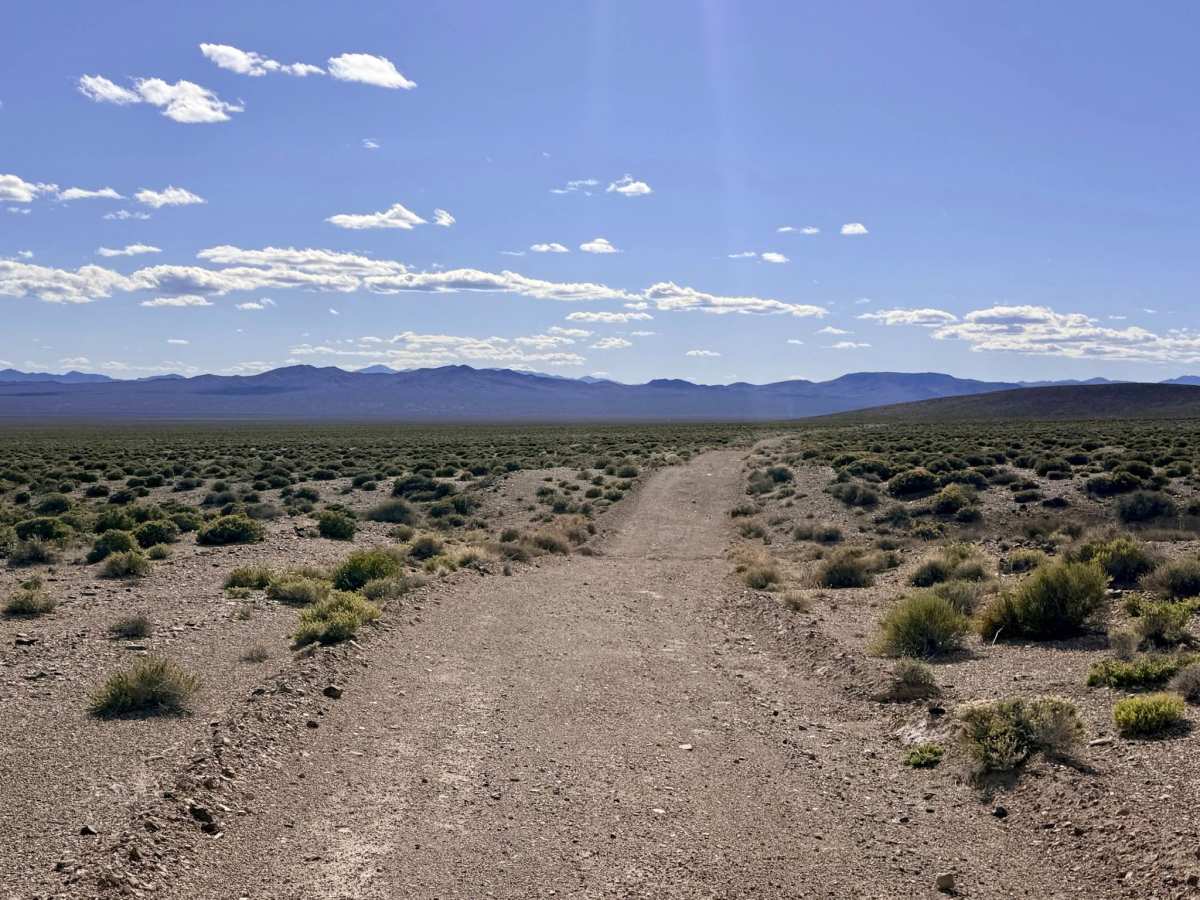
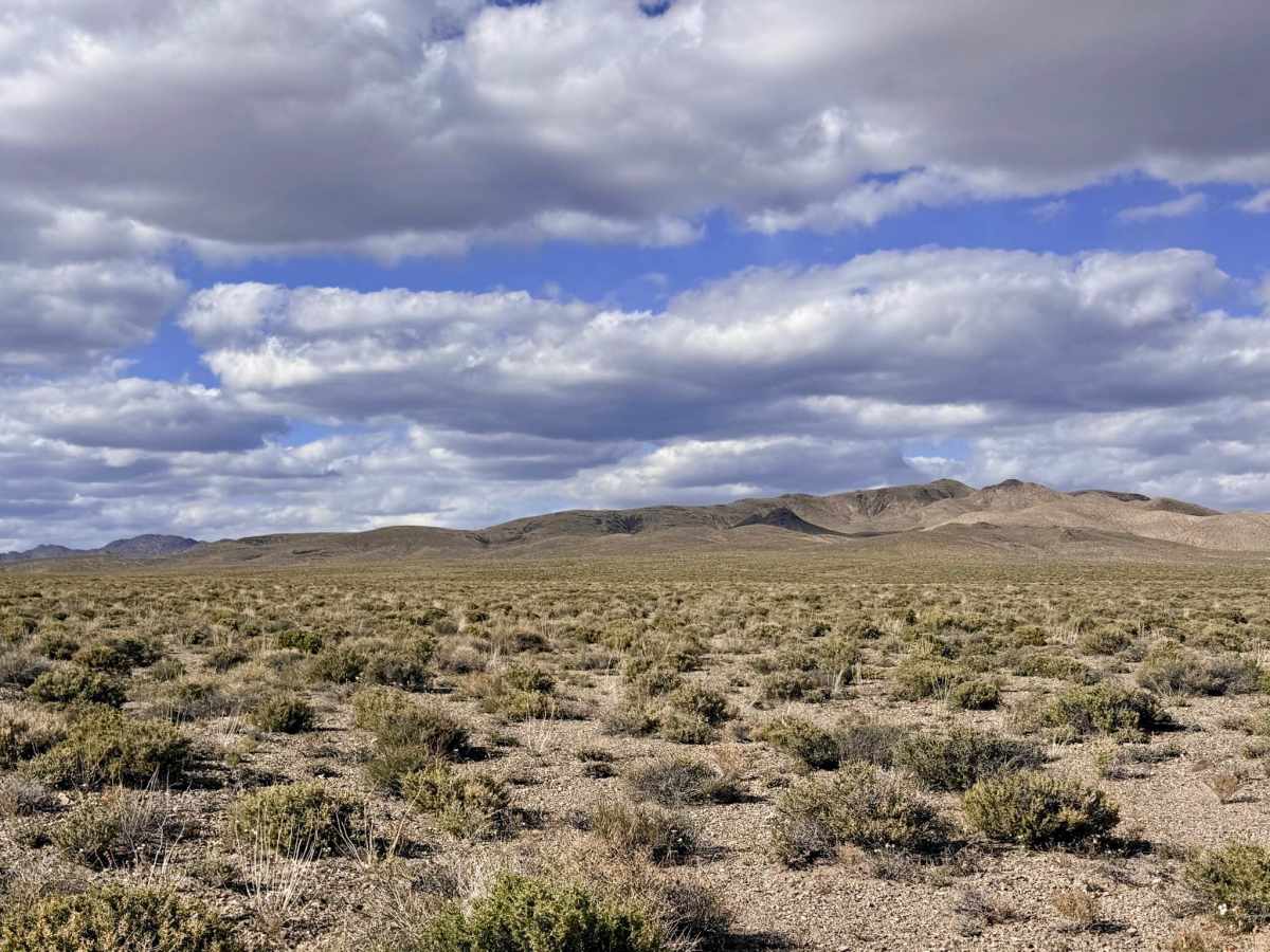
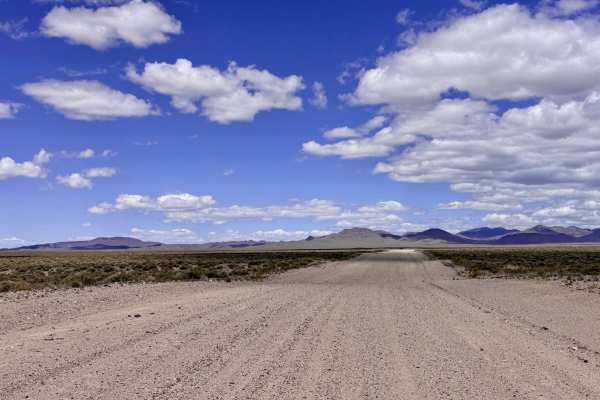
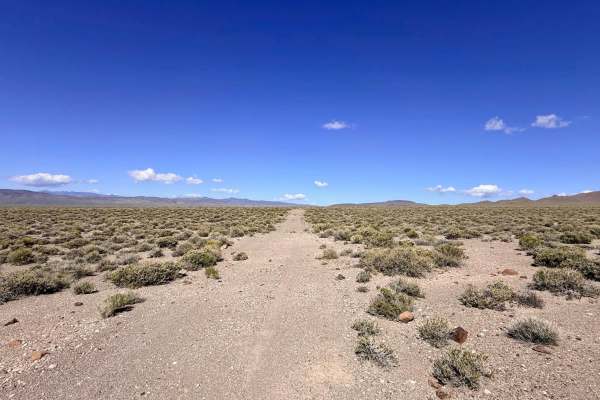
Trail Overview
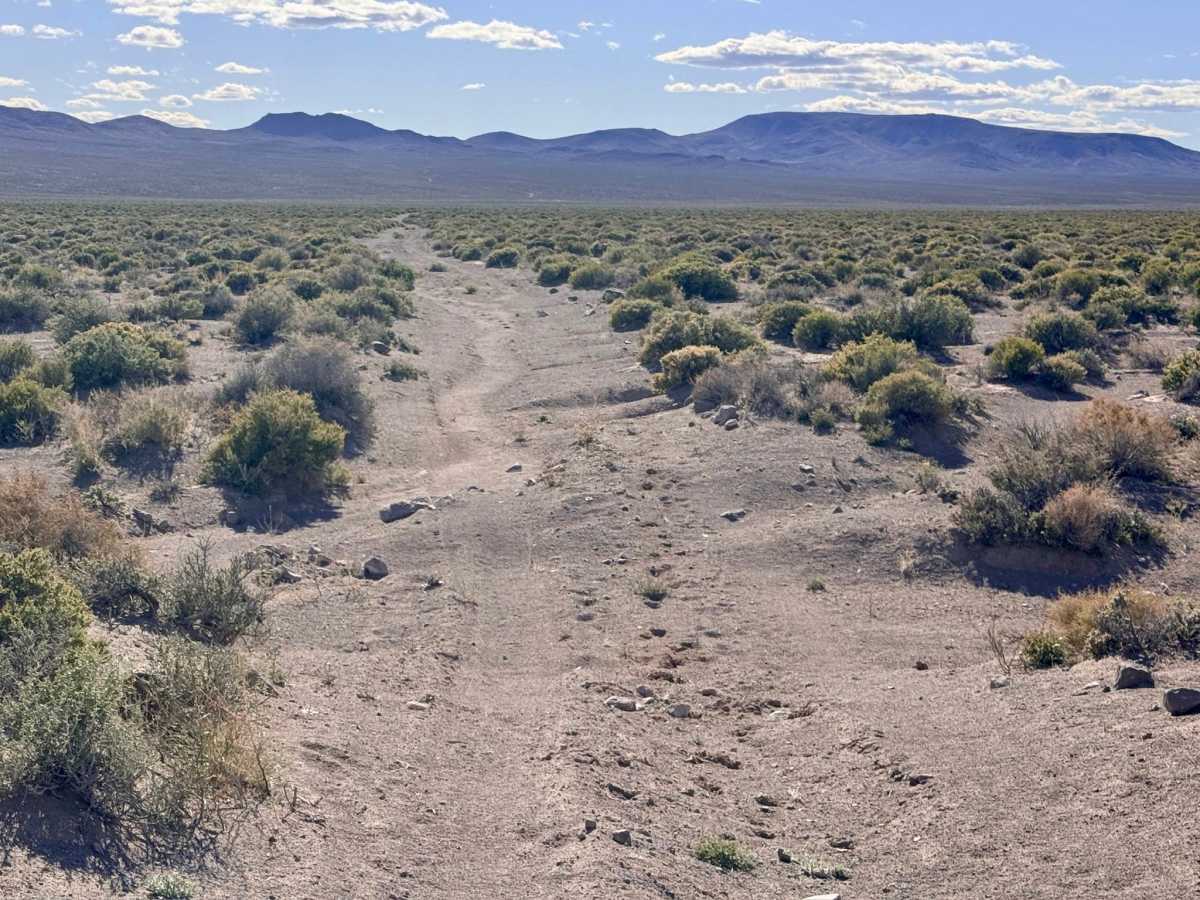
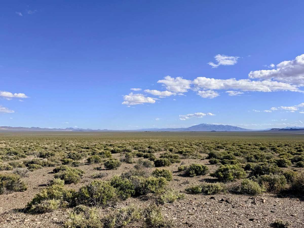
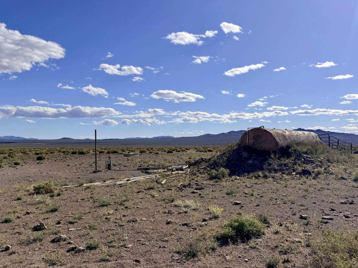
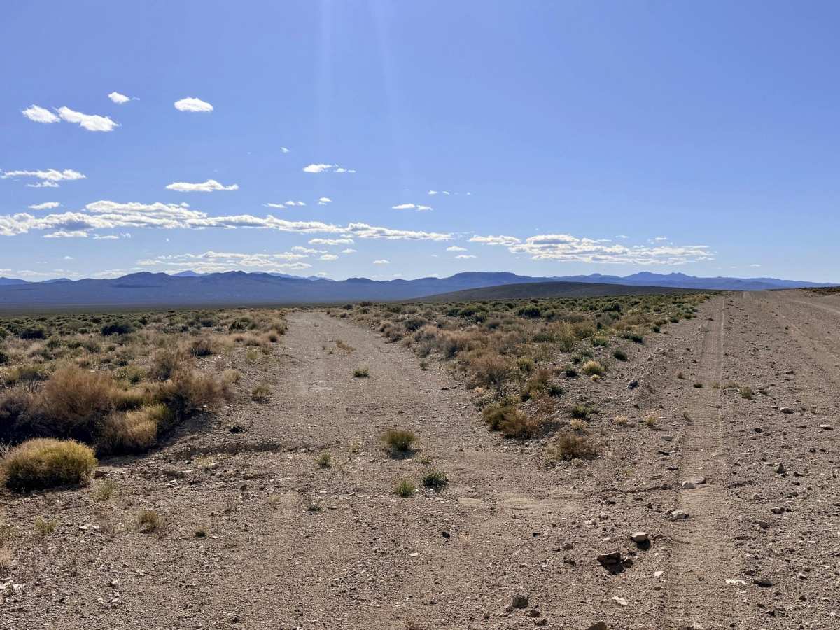
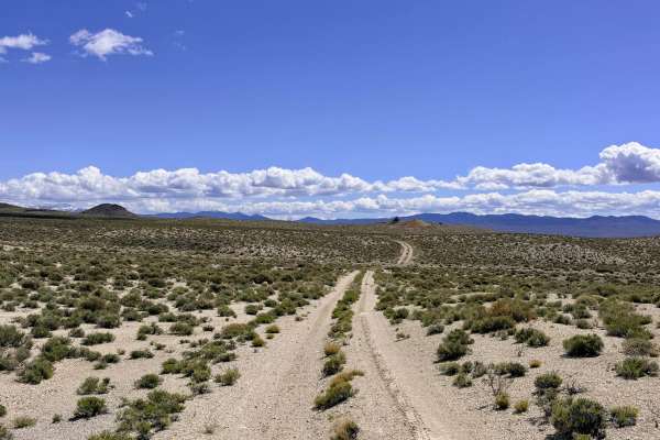
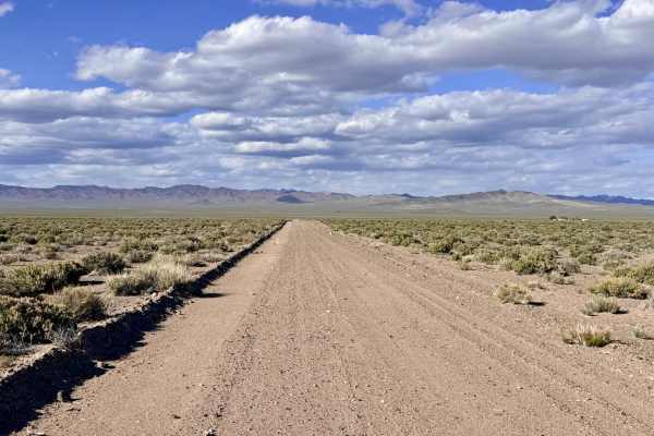
Well Road Trail is a surprisingly enjoyable and diverse east-west corridor that cuts across the vast desert basin between Cloverdale-Peavine Road and Gabbs Pole Line Road. This route offers a more intimate, secluded experience than the nearby, graded highways. The journey begins on the eastern side with a relatively smooth and well-traveled two-track that winds through a classic "sagebrush sea." As you progress toward the center of the trail, you will encounter the namesake of the route: a functional cattle watering well and trough system. This area is a focal point for local ranching and a great spot to pause and scan the horizon for wildlife. Past the well, the trail turns into a more primitive, less-traveled track. Drivers should remain alert as washouts become more substantial and vegetation begins to encroach on the road. The far western end of the trail crosses a low-lying wash that clearly serves as a major drainage during storms; evidence of deep, soft mud left by previous travelers suggests this section can be a treacherous trap when the desert is wet.
This is an active cattle watering site. Please do not block access to the well or trough, move slowly around livestock, and ensure all gates are left exactly as you found them. Unusually for this remote area, there are often two bars of LTE service available. However, signals can still be blocked by the rolling terrain. Download offline maps before leaving the Tonopah area to ensure continuous navigation.
Difficulty
Rated a 2 for its generally easy grade, but the narrowness of the track and the substantial washouts on the western end require careful tire placement. Wet Weather Warning: The western wash section is prone to deep, sticky mud. If rain is in the forecast or has recently occurred, this trail can become impassable. The alkaline soil here turns into a heavy "gumbo" that makes recovery difficult.