Trail Overview
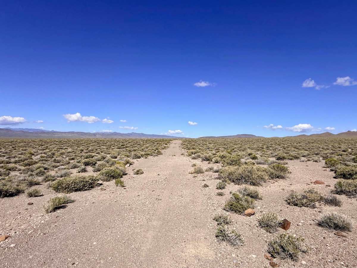
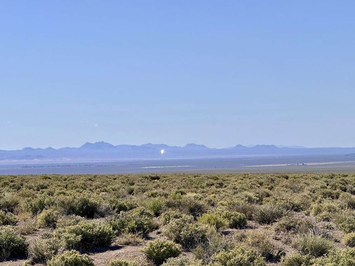
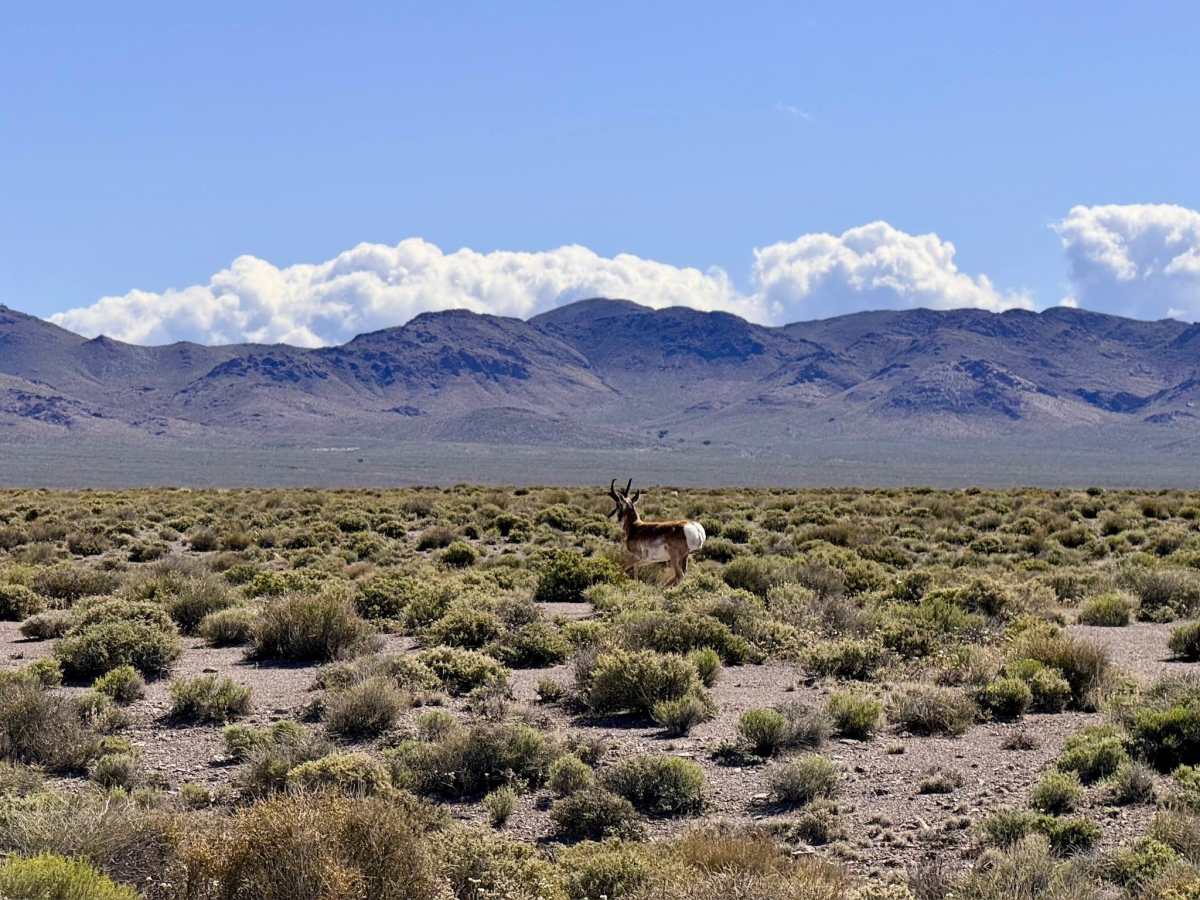
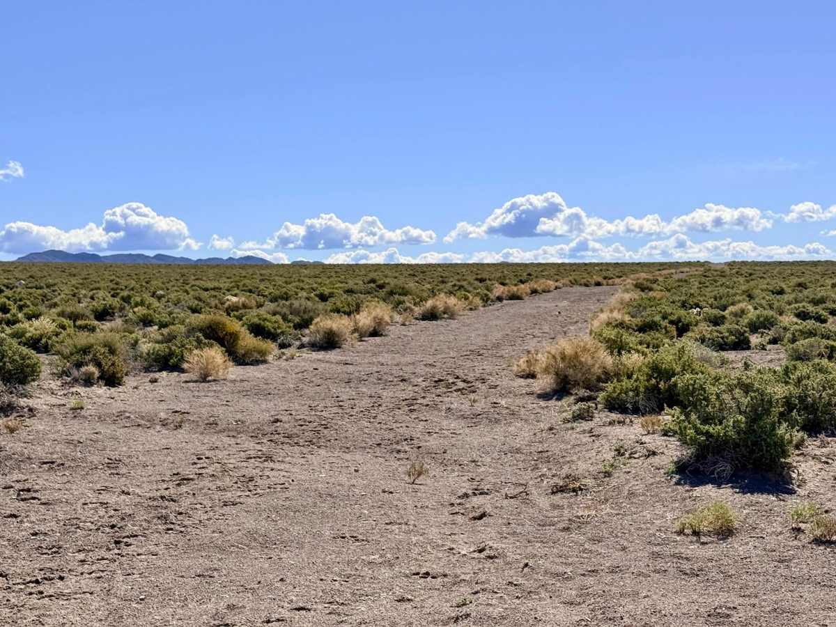
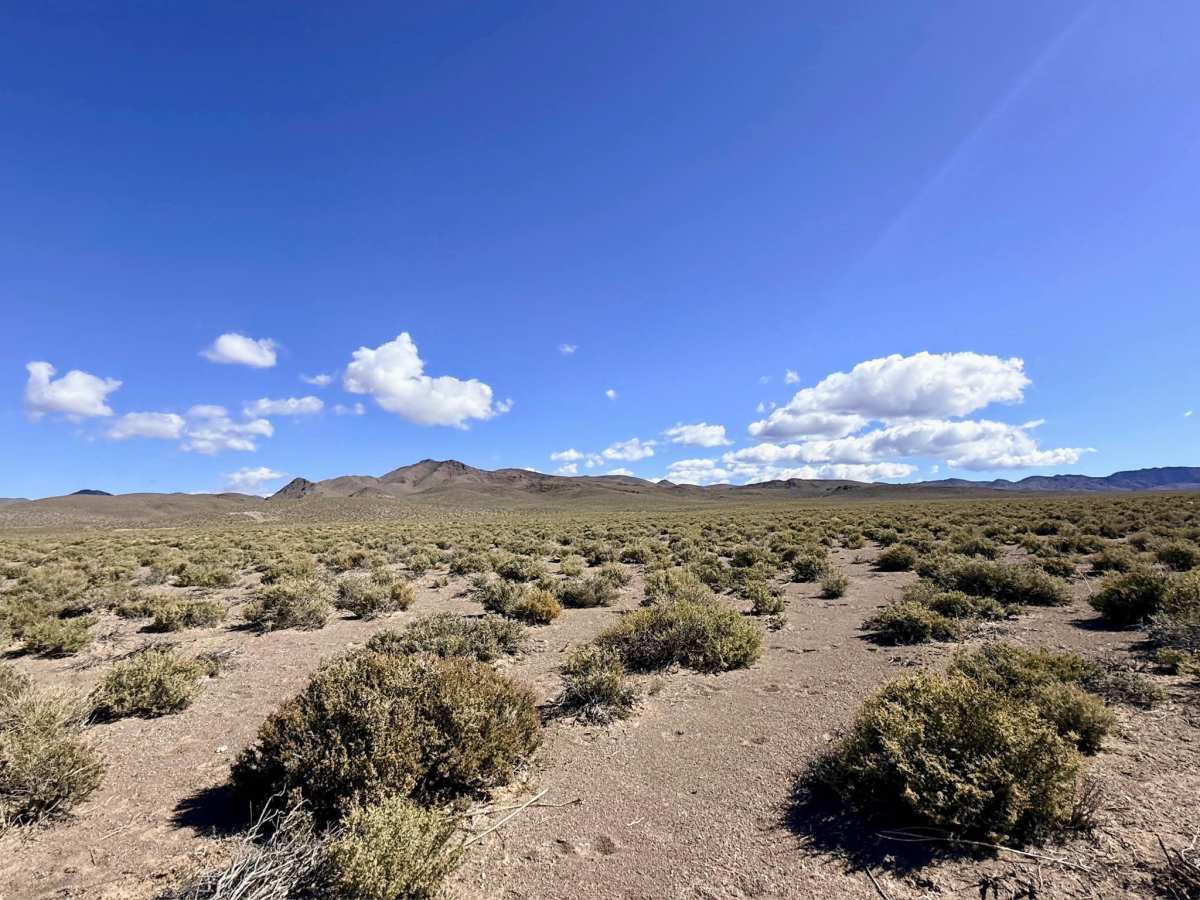
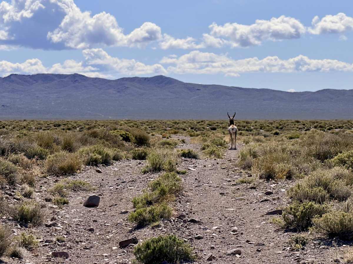
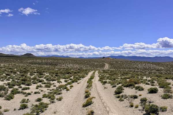
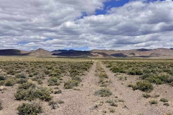
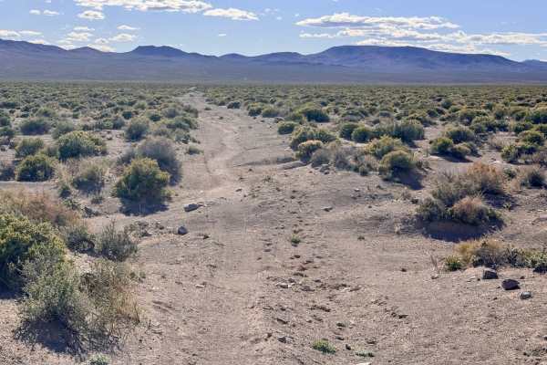
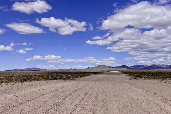
This is a rugged, east-to-west traverse that follows the boundary between BLM land and the Humboldt-Toiyabe National Forest. This trail is characterized by its unrelenting "bumpy" nature, because the track runs perpendicular to the natural drainages flowing from the high peaks to the north. Drivers will experience a series of "roller coaster" rises and falls. The views along this route are truly unique. To the north, the rugged southern peaks of the Toiyabe Range loom large, while to the south, the horizon is dominated by the Crescent Dunes Solar Facility. This massive concentrated solar power tower near Tonopah serves as a striking modern landmark against the ancient desert floor. As you bounce along the track, keep your eyes peeled for herds of Pronghorn Antelope, which thrive in this open transition zone. While this is a fun and scenic way to cross the desert, it is not a "fast" route; those looking for high-speed transit should use the wider Cloverdale Peavine Road, located just to the south.
Expect very poor cell service. You may see one bar of LTE that fades in and out, but it is insufficient for mapping. Download offline maps before leaving the Tonopah or Highway 376 area.
History
The East Cloverdale area represents the literal "edge of the wild." This boundary line has historically separated the valley floor ranching and mining operations from the protected timber and water resources of the high mountains. To the south, the San Antonio Valley has seen everything from 19th-century silver freighting to the cutting-edge green energy of the Crescent Dunes facility. Traveling this trail is a trip through Nevada’s evolution, where the ancient paths of the Western Shoshone and the 1860s prospectors now sit in the shadow of 21st-century technology.