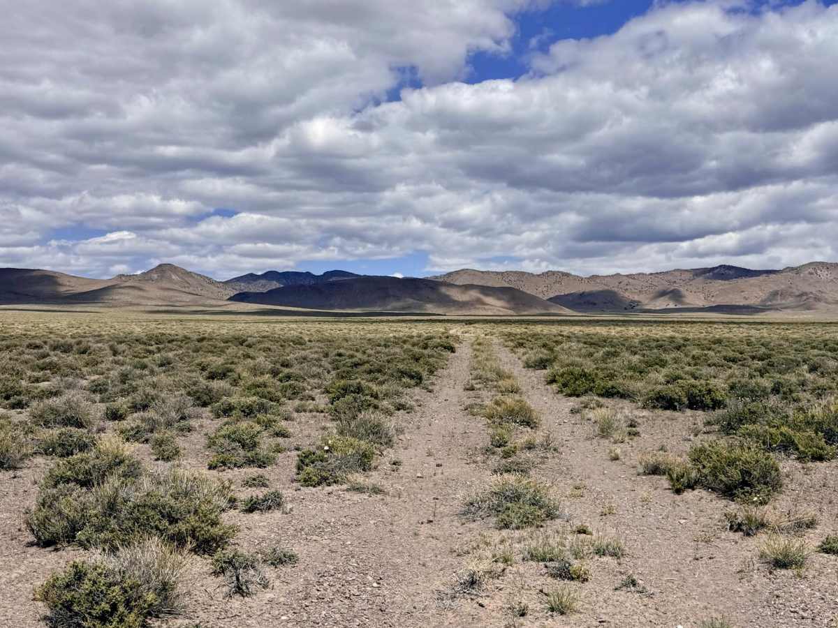
Trail Overview
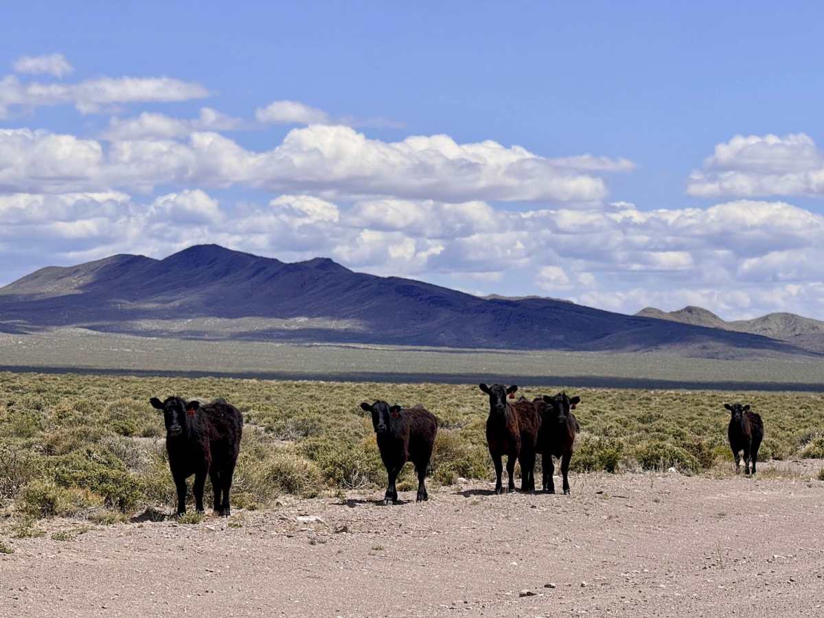
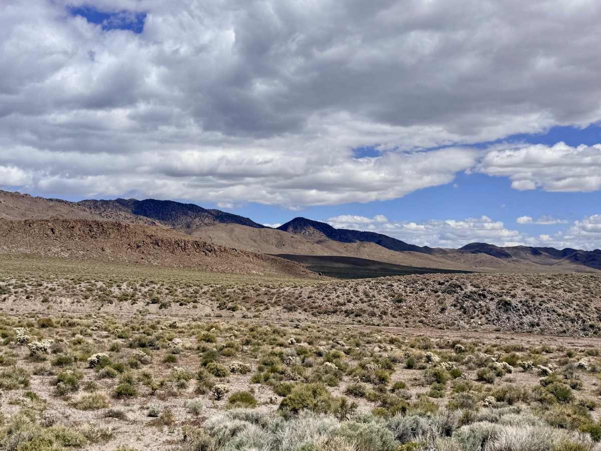
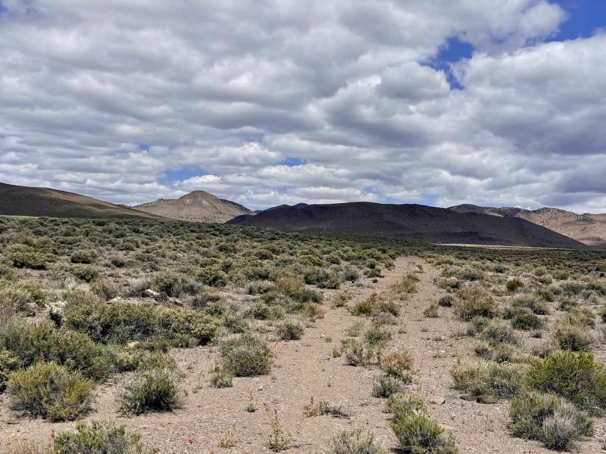
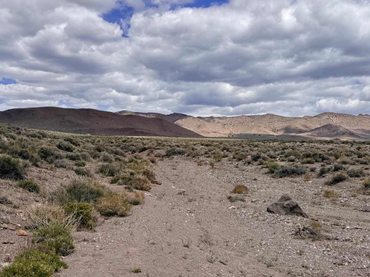
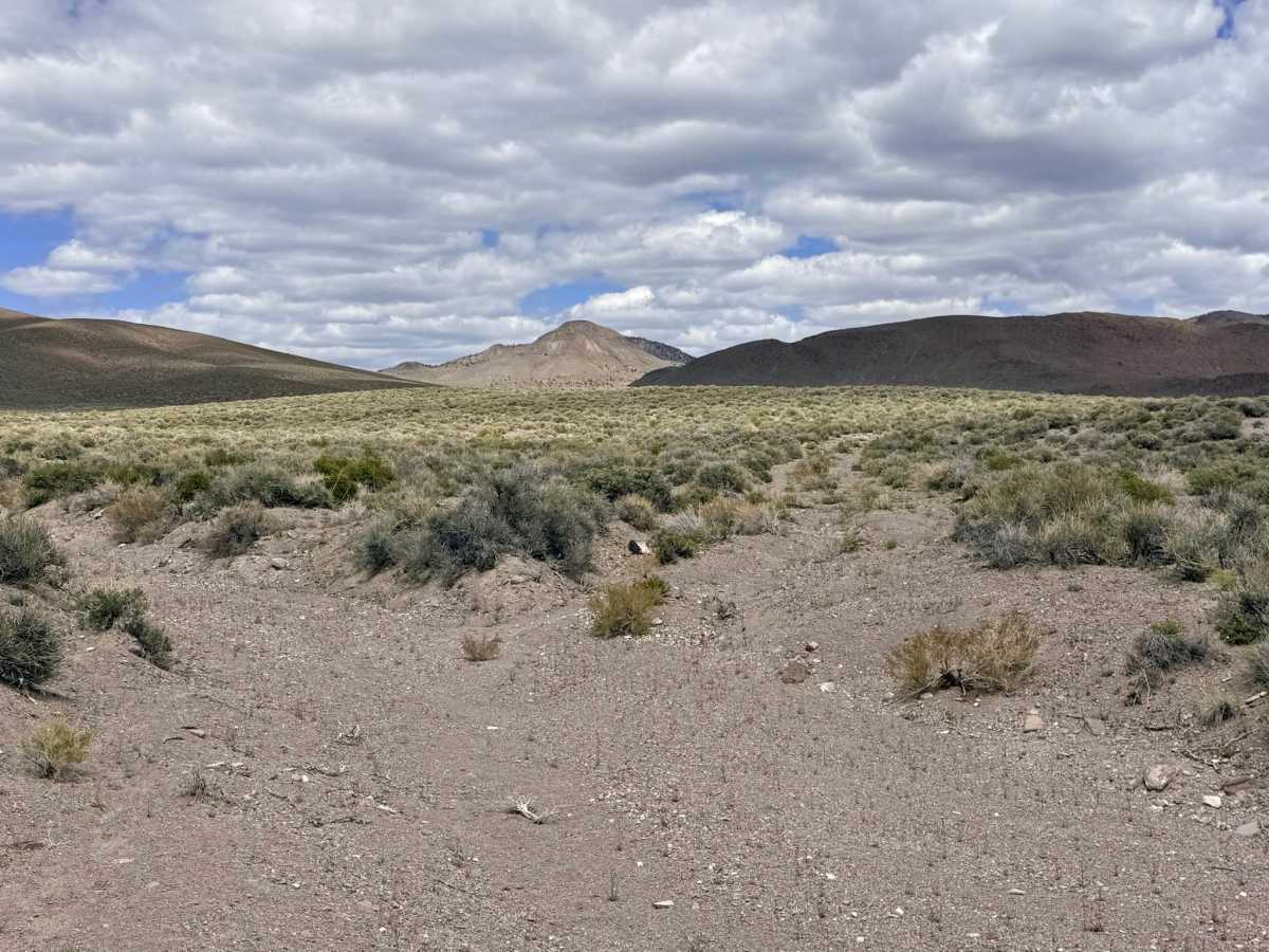
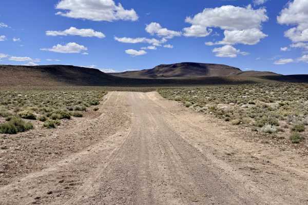
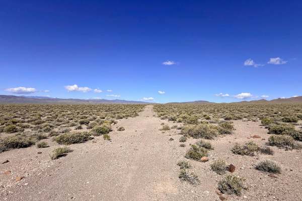
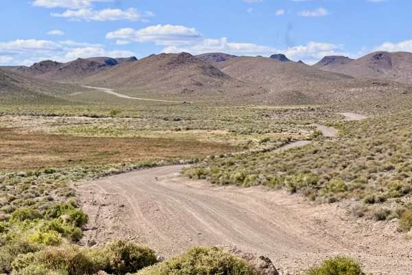
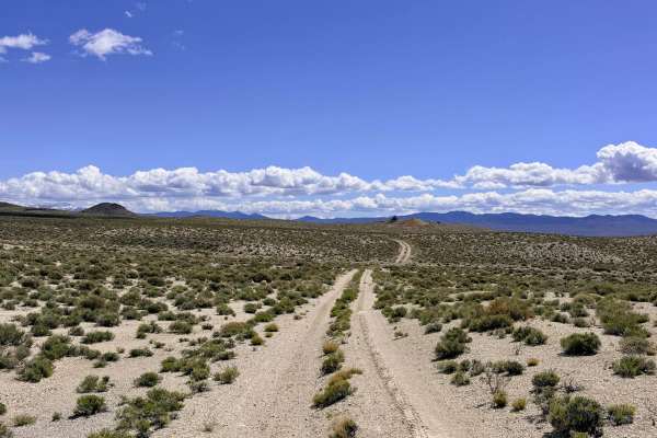
Mississippi Springs is a charming out-and-back trail. While the springs may not flow with the volume of their famous namesake river, this site is a critical oasis in an otherwise arid landscape. The trail serves as a dedicated corridor leading from the high-speed Cloverdale-Peavine Road deep into the rugged foothills. As you ascend, you trade the vast, sun-bleached valley floor for the intimate, rolling terrain of the mountain slopes. The journey culminates at the springs, which currently function as a vital watering hole for both local livestock and high-desert wildlife. Adjacent to the water source is a superb, level clearing that serves as an ideal dispersed campsite. From this high vantage point, you are treated to serene, expansive views of the surrounding valleys. A location that promises profound silence and dark skies after the sun sets. The drive is physically engaging, transitioning from easy two-track into more technical territory as you navigate the natural drainages of the range.
This is an active ranching area. You are likely to encounter cattle, especially near the watering hole at the end of the trail. Expect zero usable cell service in this area. The surrounding hills block signals from the Tonopah corridor. Download offline maps before leaving the main road.
Difficulty
Rated a 3 due to several technical wash crossings. As the trail moves into the hills, it crosses numerous natural drainages that feature steep entry and exit angles and sustained off-camber tilts. Avoid this trail during heavy rain. The washes you cross can fill rapidly with water and debris, and the alkaline soil can become impassable when saturated.