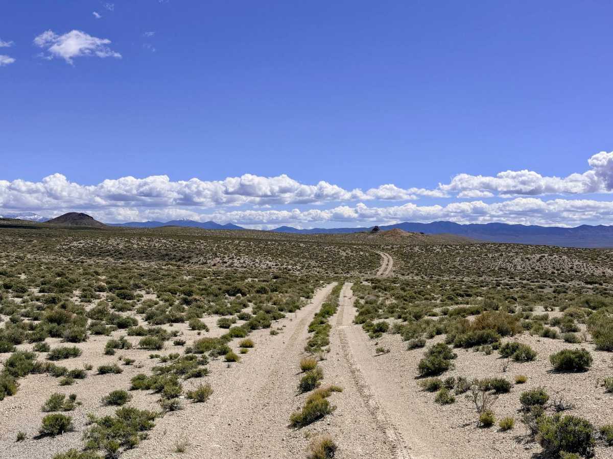
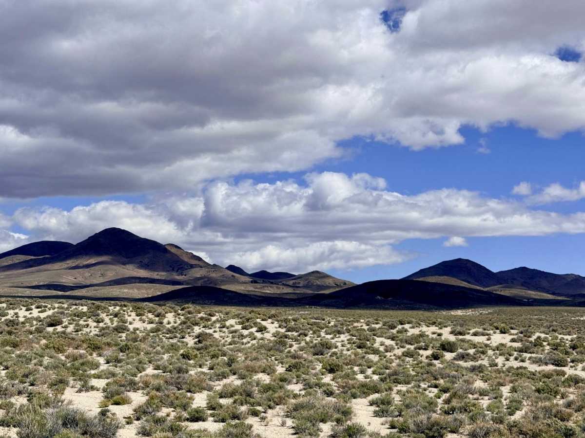
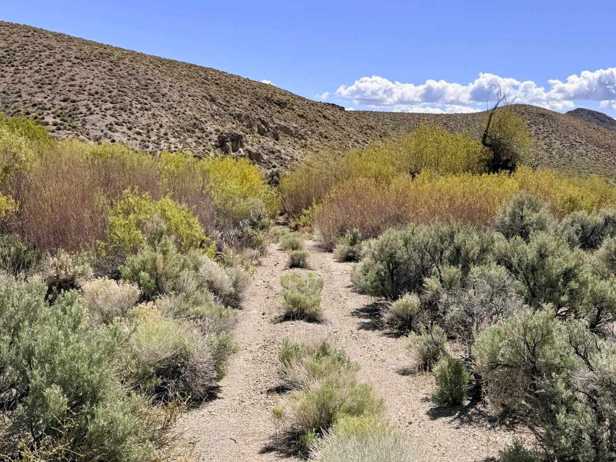
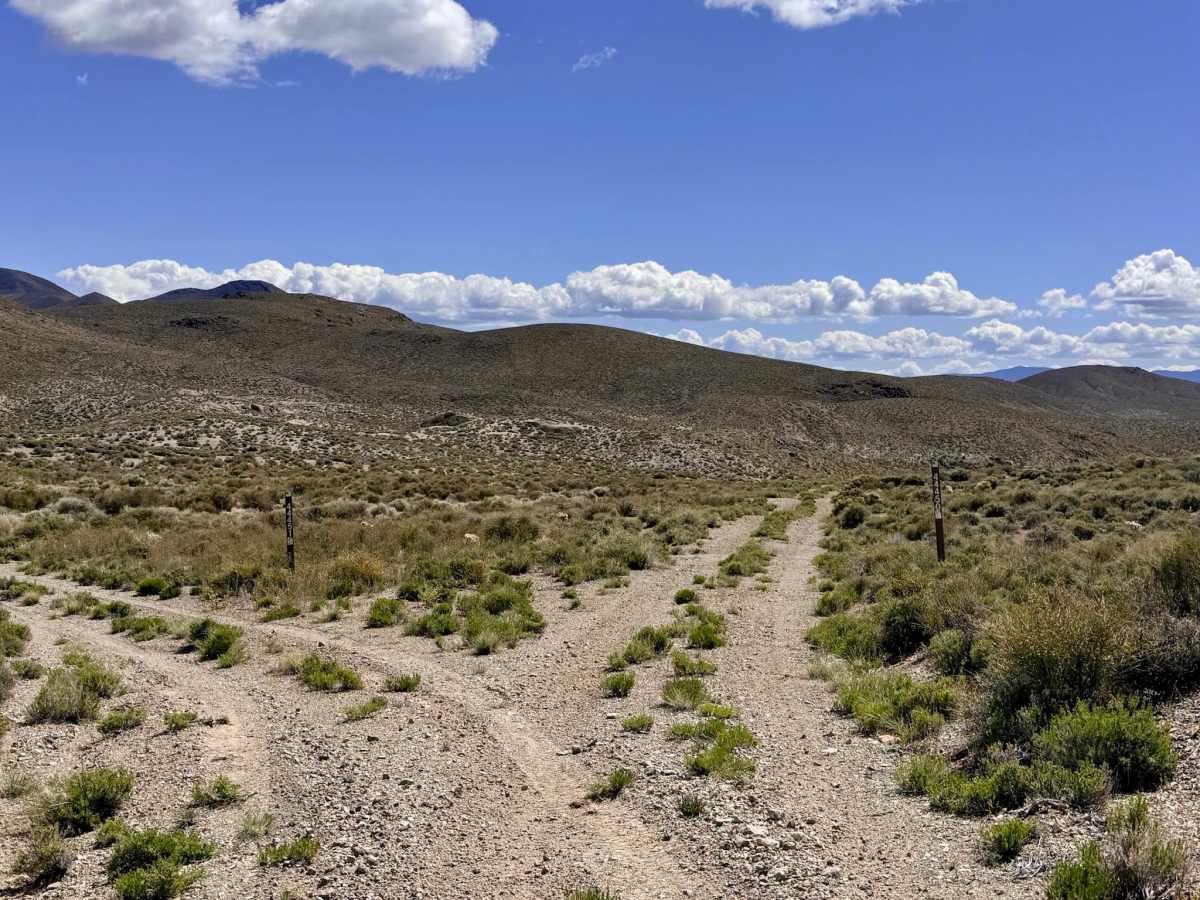
Trail Overview
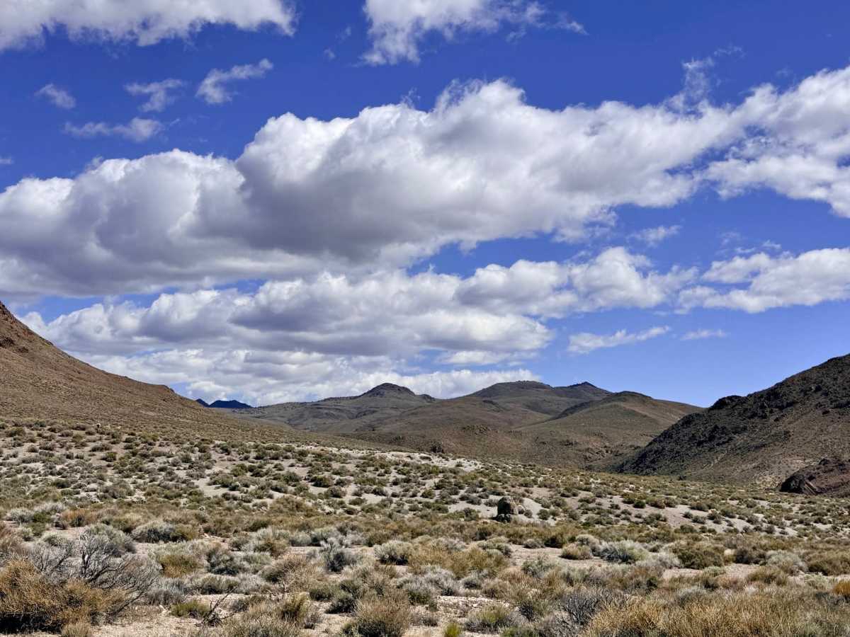
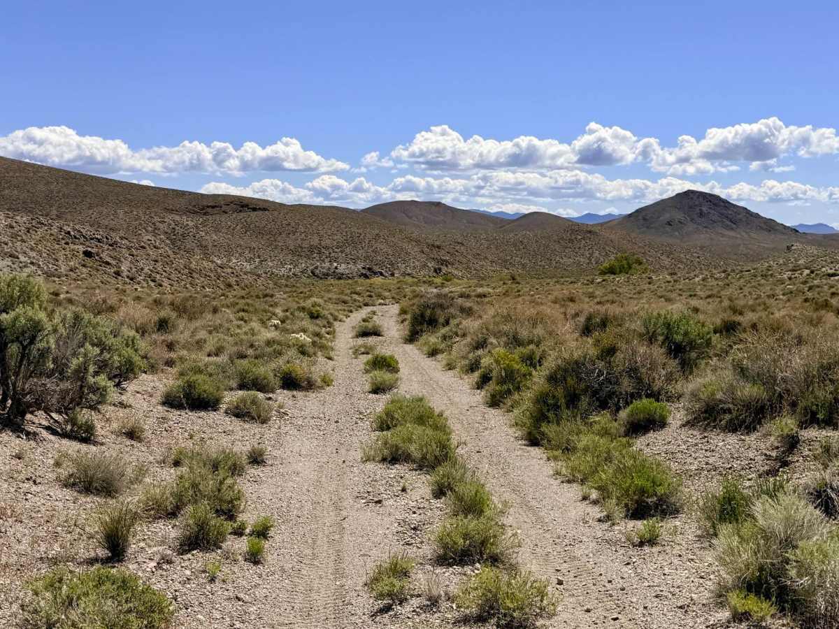
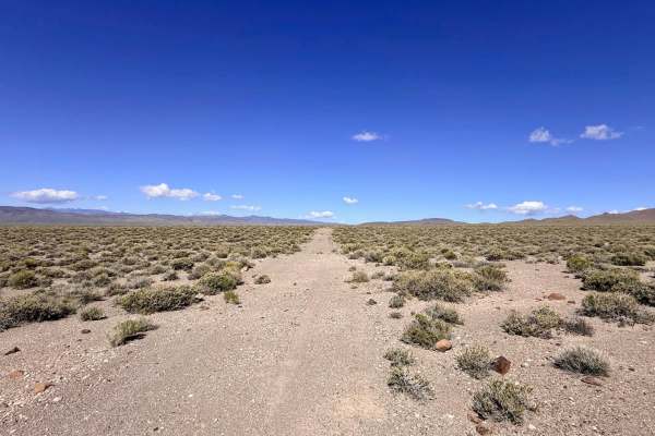
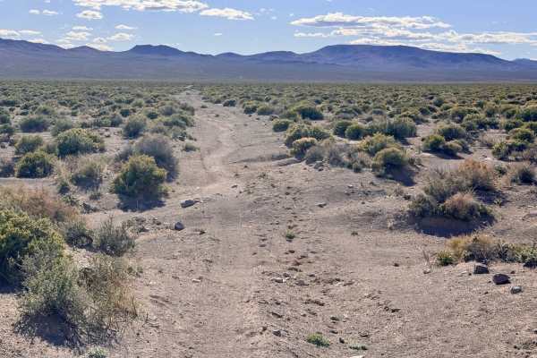
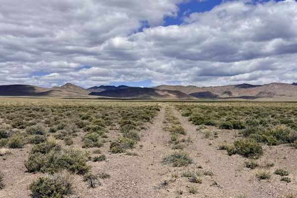
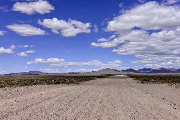
This is a captivating trail that carries explorers from the sun-bleached valley floor into the foothills of the southern Toiyabe Range. The route serves as a dedicated tour of the area’s biological lifeblood: the natural springs. Bank Spring itself is a vital desert oasis, currently utilized as a primary watering hole for local livestock and high-desert wildlife. While the southern portion of the trail and the main valley floor sections consist of wide-open, low-growing sagebrush, the northern segment of the route presents a significant contrast of overgrown thickets where the vegetation has completely reclaimed the track. As you traverse the valley floor, the trail frequently dips into and out of natural drainages. These transitions are the primary technical challenge of the route, requiring slow speeds and a focused eye to navigate. This is a premier corridor for wildlife spotting; it is not uncommon to catch a glimpse of Pronghorn Antelope or Sage Grouse. Keep an eye out for a few high-quality dispersed campsites tucked into the hills, offering incredible solitude far from the main access roads.
This is active cattle country. Please yield the right-of-way and move slowly around blind corners to ensure the safety of the livestock. Expect zero cell service for the duration of this trail. The foothills create a total signal dead zone. Download offline maps before leaving the Tonopah or Highway 376 area.