Trail Overview
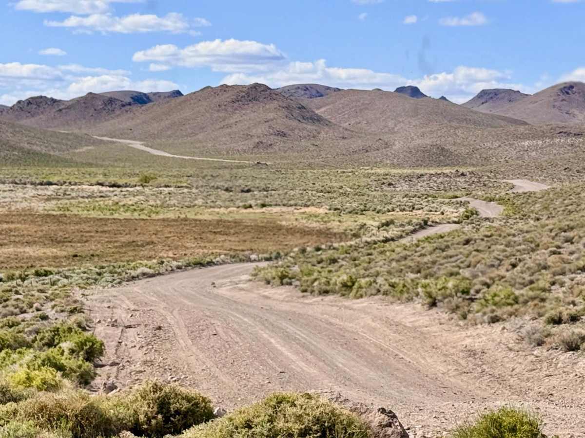
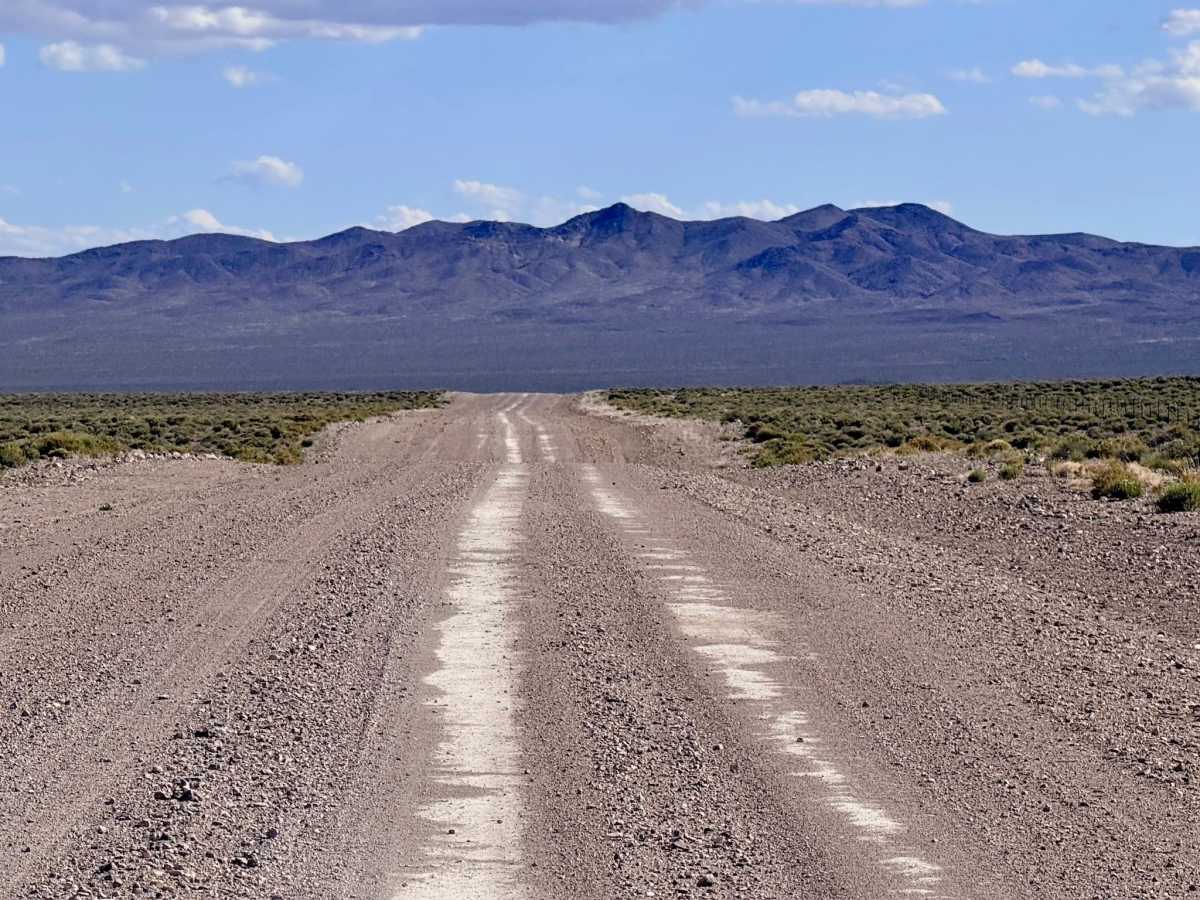
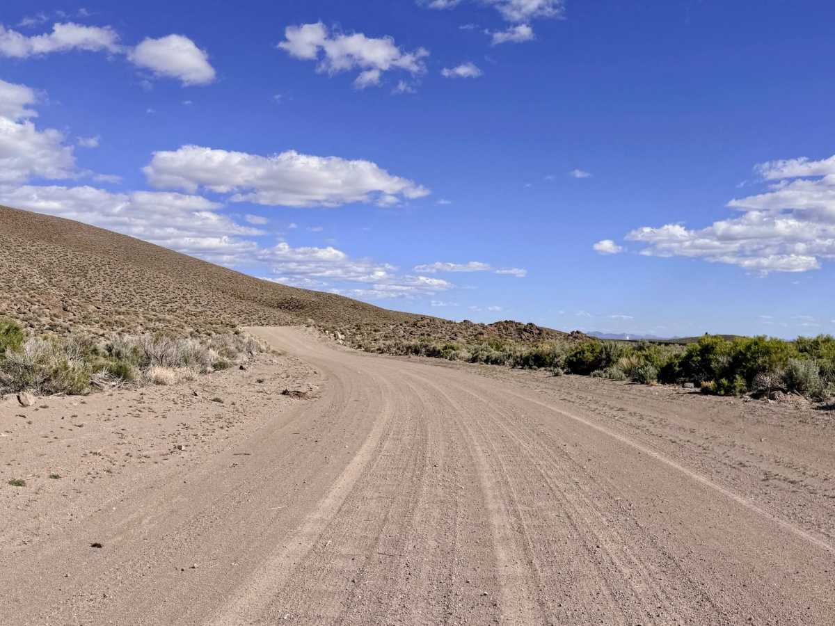
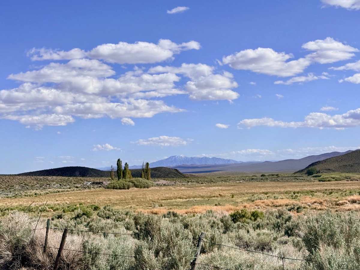
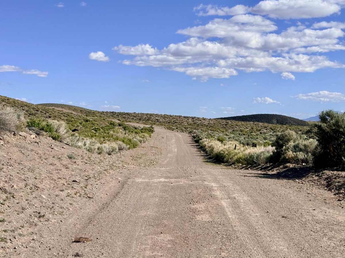
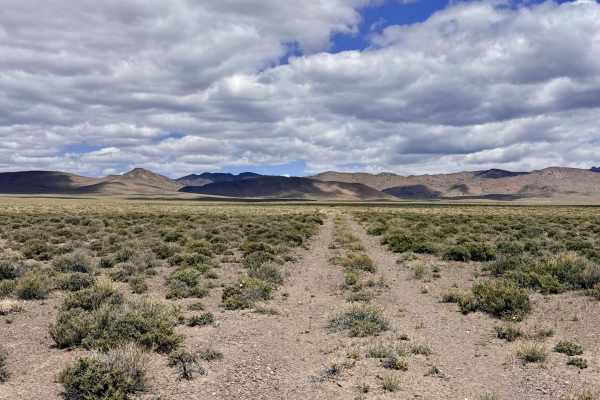
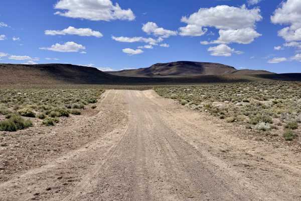
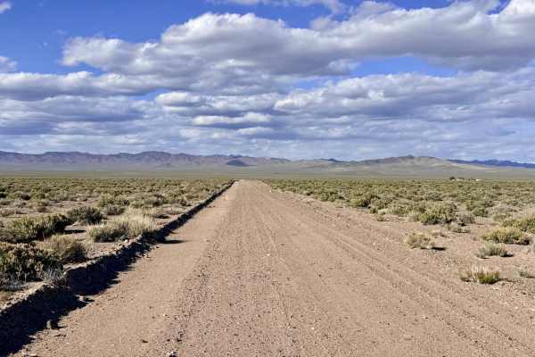
Cloverdale Ranch Road is a quintessential "desert highway," offering a wide, well-graded, and high-speed dirt corridor that crisscrosses the expansive Nevada landscape. Because the road consists of well-compacted gravel and native materials, it is one of the most reliable routes in the district when the weather turns; it remains remarkably stable even when other trails become impassable due to rain. As you cruise along this broad thoroughfare, you are treated to spectacular, unobstructed views of the Big Smoky Valley and the looming peaks of the Toiyabe Range to the north. The road serves as a quick and efficient link between the Gabbs Pole Line Road to the west and the primary access points for the Cloverdale and Willow Springs trail systems to the north. Keep a sharp eye on the sagebrush flats; the openness of this corridor makes it prime territory for spotting Pronghorn Antelope at full sprint and various raptors patrolling the roadside utility poles.
Expect zero usable cell service. While you may see one bar of LTE on your device, it is generally insufficient for data or calls. Download offline maps before leaving the Tonopah or Gabbs area. This is active cattle country. Despite the width of the road, livestock frequently wander onto the track. Please maintain a safe speed and yield to all cattle.
Difficulty
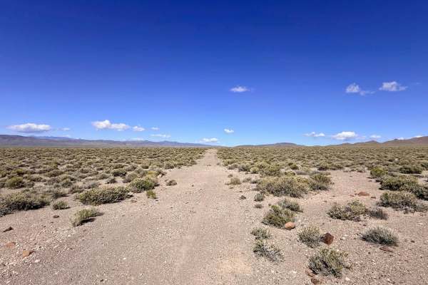
Rated a 1 for its exceptional width and well-maintained surface. This is one of the few dirt routes in the area where passing oncoming traffic is a non-issue, and a comfortable cruising speed can be maintained.
History
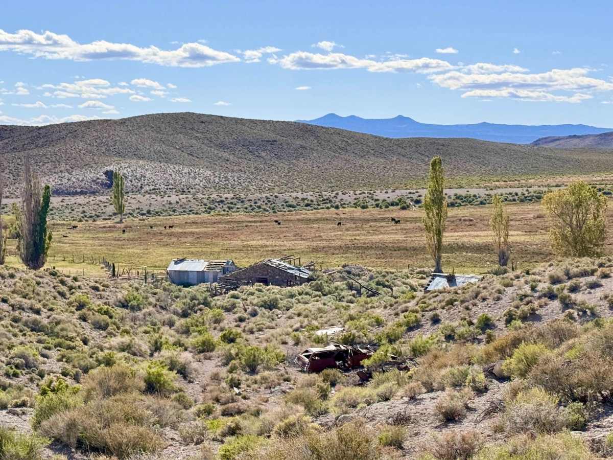
Cloverdale Ranch Road traces a path of survival and grit. The Cloverdale Ranch, for which the road is named, was established in the late 19th century as a critical "oasis" ranch. Utilizing the area’s natural springs, it became the agricultural backbone of central Nevada, providing the hay and beef needed to sustain the thousands of miners in Tonopah and Manhattan.