Trail Overview
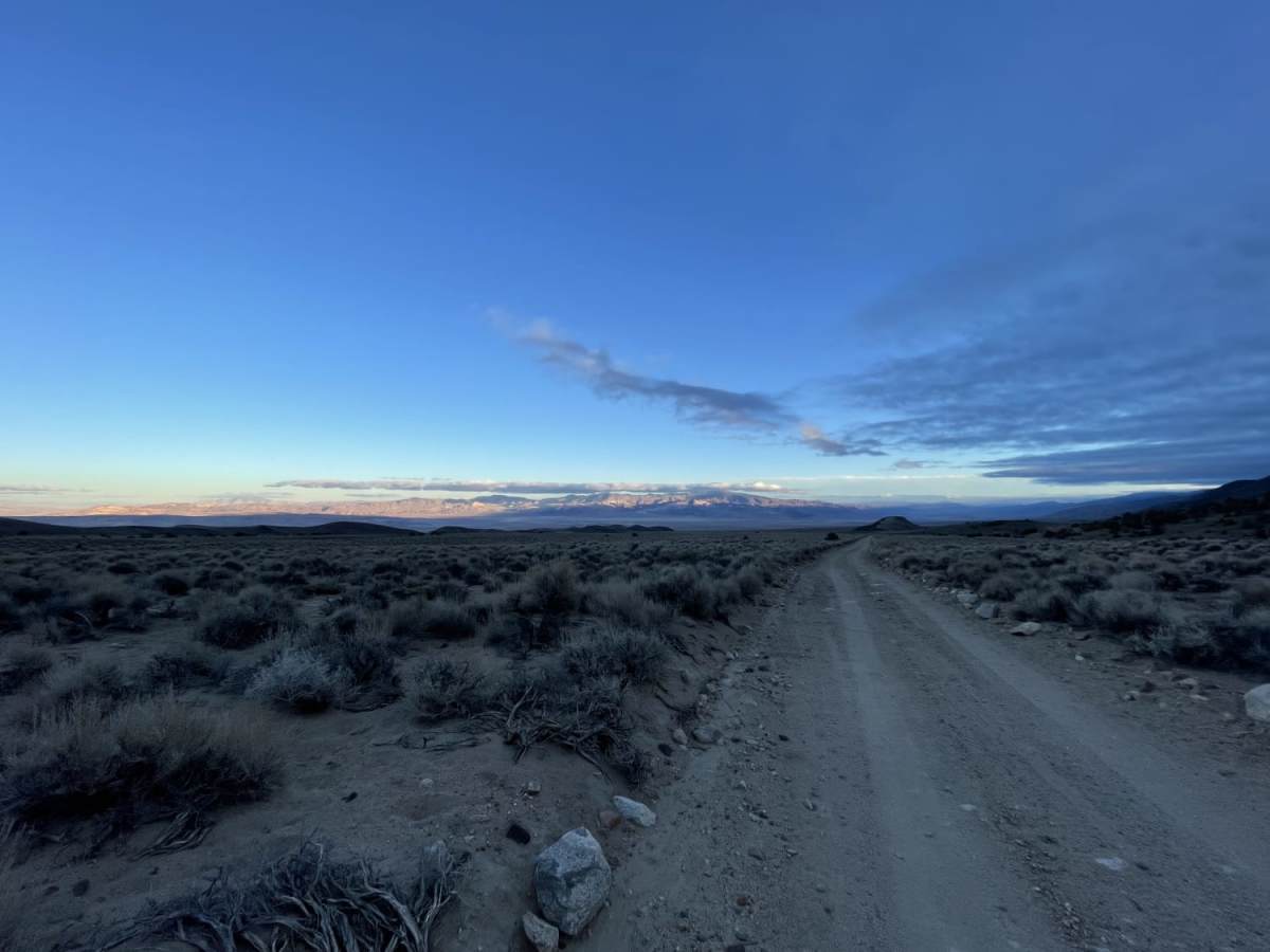
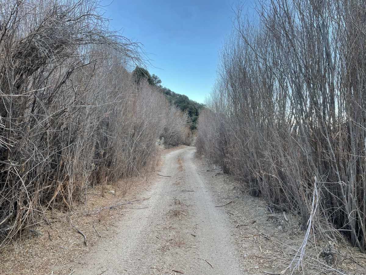
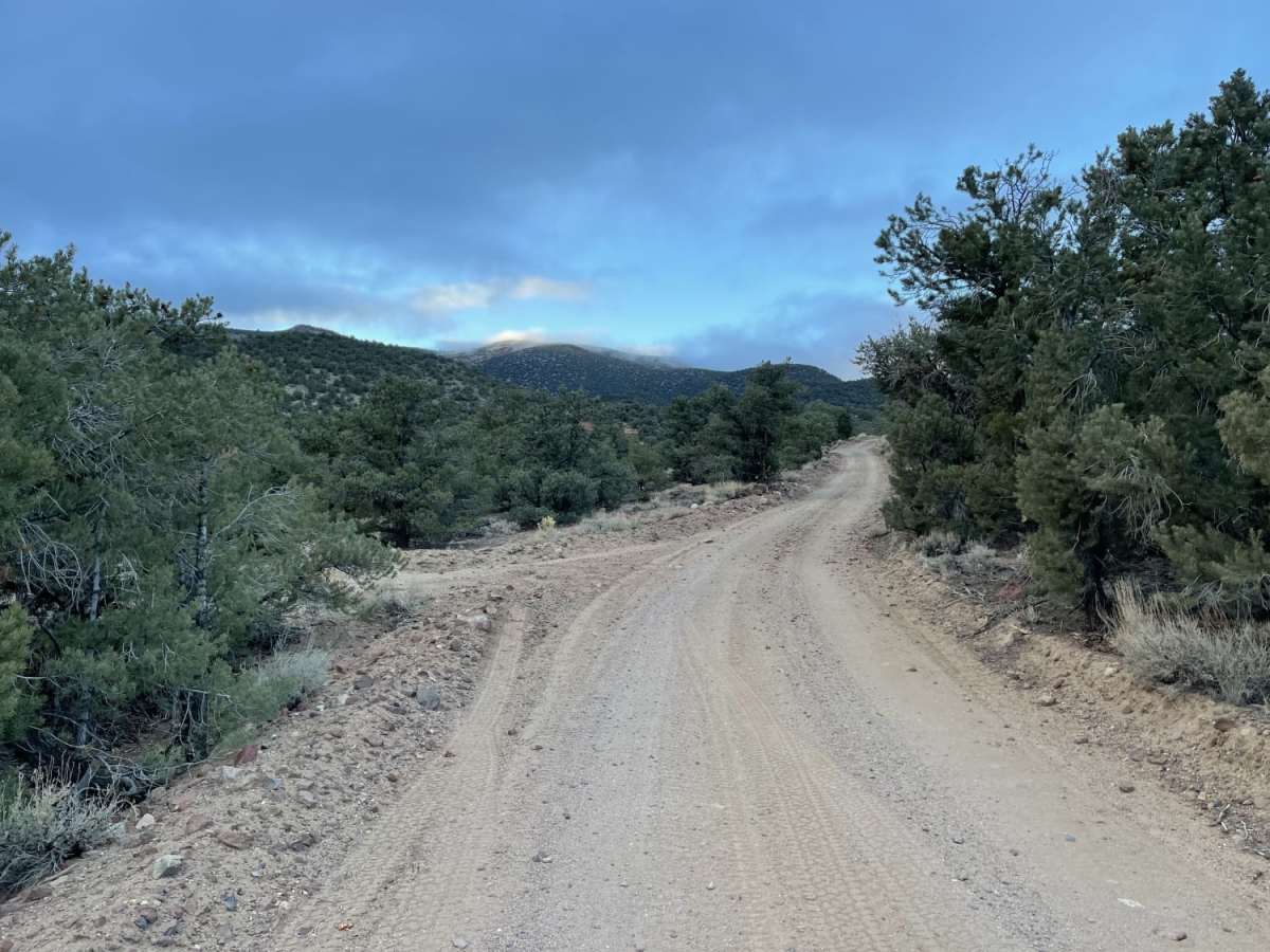
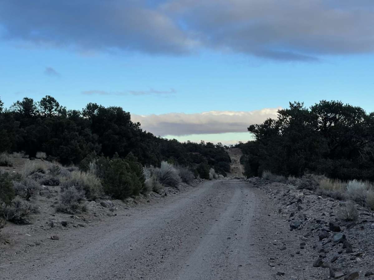
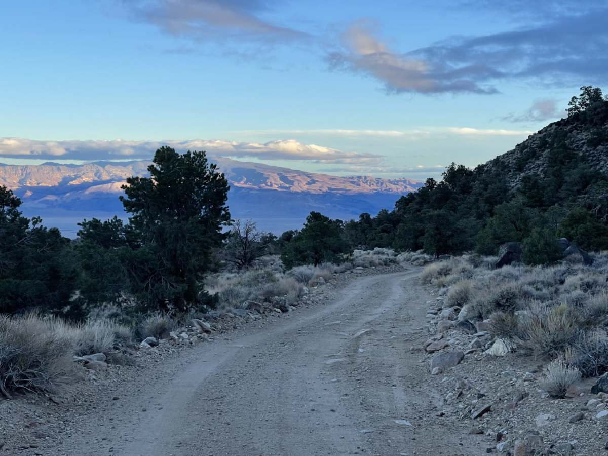
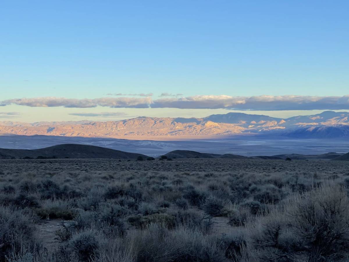
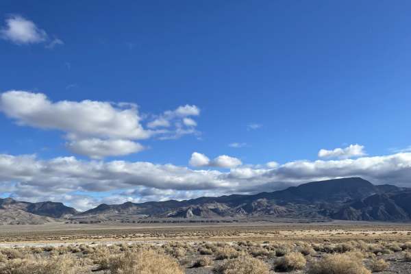
The Easy Way Around Rock Creek is a scenic 3.3-mile point-to-point trail in the Inyo National Forest, perfect for beginner to intermediate offroaders looking for a mild route with access to dispersed camping and the broader forest trail network. Starting near Sagehen Spring at an elevation of approximately 6,997 feet, the route climbs gently through a single-lane dirt track to a maximum elevation of 8,003 feet before dropping back down. While the trail features a mild technical rating of 3, the narrow corridor is lined with scratchy reeds and brush that can cause minor paint damage to full-size vehicles. High-clearance four-wheel-drive vehicles and SxSs will find the terrain highly manageable, though drivers should remain alert for oncoming traffic as there are only a few designated pullouts along the single-track.
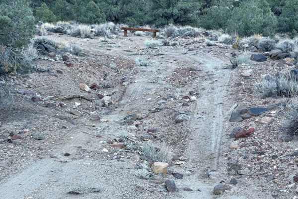
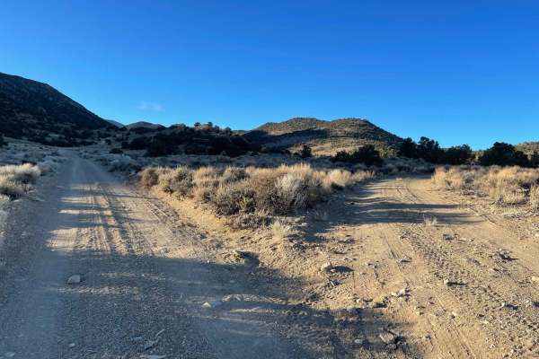
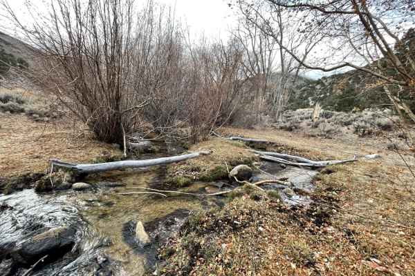
This trail serves as a strategic connector, letting drivers bypass the more challenging, technical sections of the nearby Rock Creek Trail to access the upper portions of the range. Along the route, several dispersed camping sites with established fire rings offer scenic places to set up camp under the mountain sky. The trail crosses Trail Creek, though water levels are typically low or dry depending on the season, and eventually terminates at the junction with Forest Road 01S61. Since there is no winter maintenance, snow and mud can make the route impassable during the colder months, making late spring through autumn the best time to visit. Cell service is unreliable and mostly limited to the lower elevations of the trail, so downloading offline maps is recommended before setting out.
Access Description
This route receives no winter maintenance, making it impassable during the winter and early spring due to snow. It consists of a single-lane road with limited pullouts for oncoming traffic. High-clearance four-wheel-drive vehicles or SxSs are recommended, and wider vehicles should be prepared for tight sections with paint-scratching brush.