Trail Overview
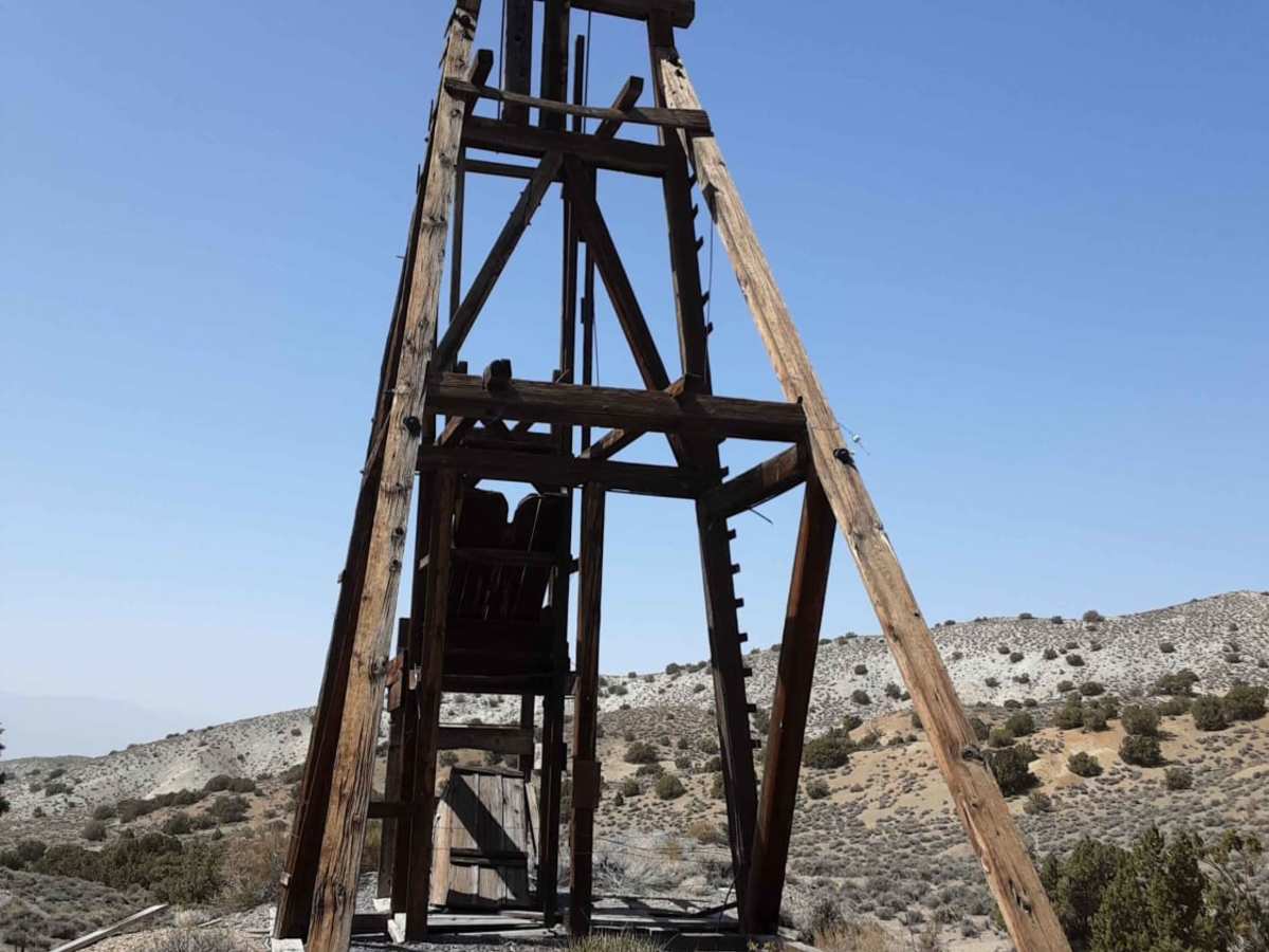
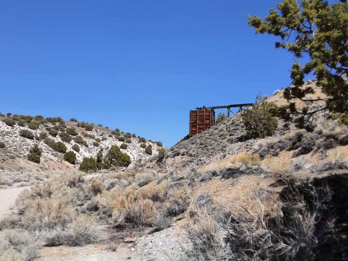
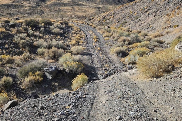
This scenic 23.2-mile trail is ideal for intermediate offroaders, SxSs, and high-clearance four-wheel-drive vehicles looking to explore Nevada’s rich mining history. Starting on the east side of State Highway 95 in Mina, Nevada, the route begins as a well-maintained dirt road that climbs steadily from an elevation of 4,538 feet up to a peak of 6,673 feet, offering sweeping desert views and an overall elevation gain of nearly 2,800 feet. While the first leg of the journey is a relatively smooth, easy drive, the terrain becomes increasingly rugged and technical as you approach the historic Simon Lead Mine site.
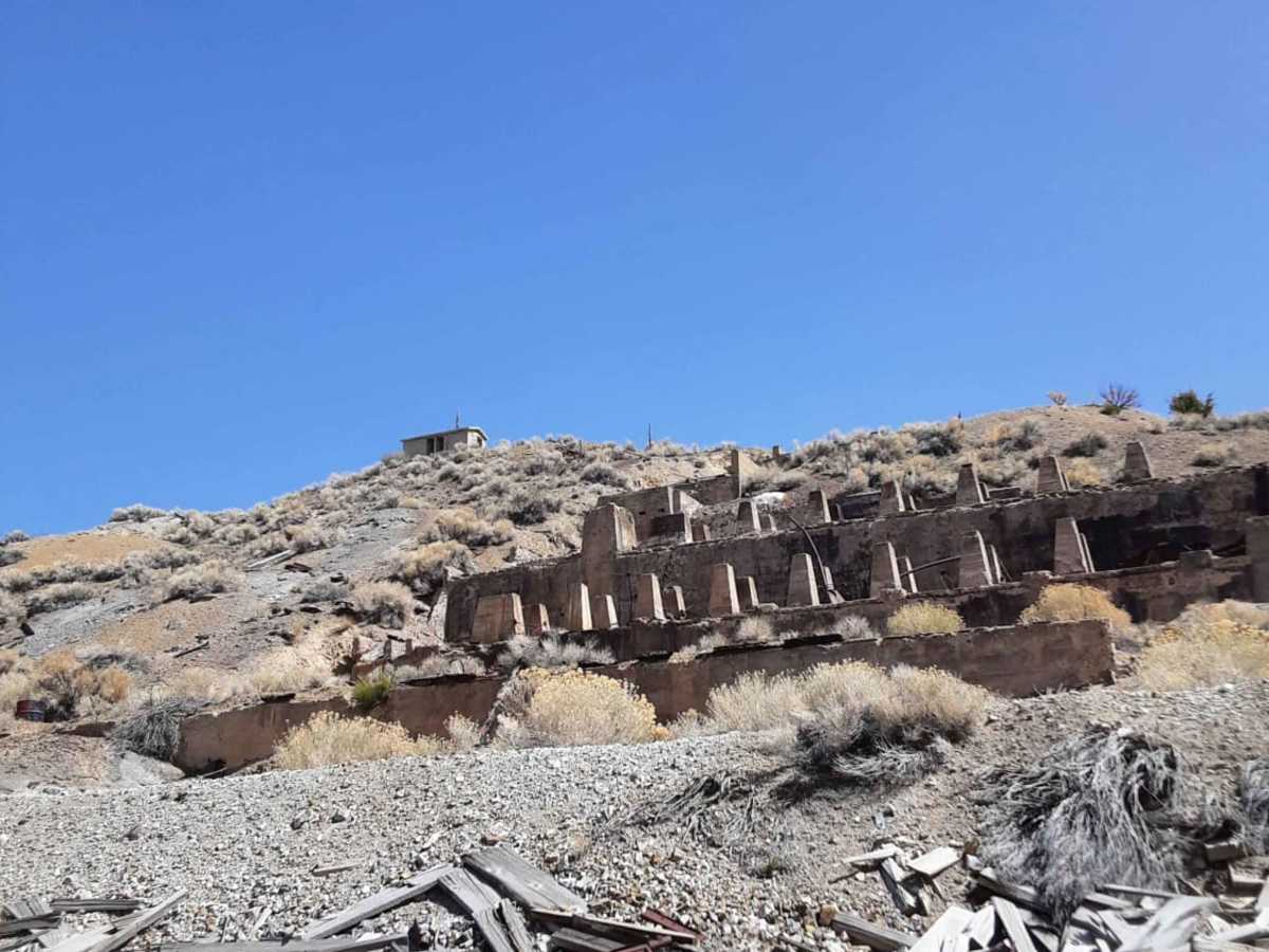
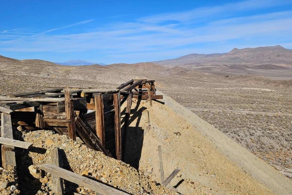
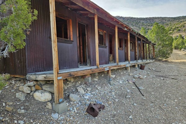
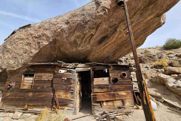
The final four miles of the route present a moderate challenge with a technical rating of 3, featuring narrow passages and several washed-out sections that range from small, gradual dips to abrupt, deep washouts requiring careful tire placement and high clearance. This historic area dates back to 1879, with the Simon Silver-Lead Mines Company developing the site in 1919 into a bustling operation with a post office and a massive flotation mill that operated until the late 1920s. Today, visitors can explore the remnants of this once-booming mining district, making it a highly rewarding destination for those with the appropriate vehicle and offroad experience.
History
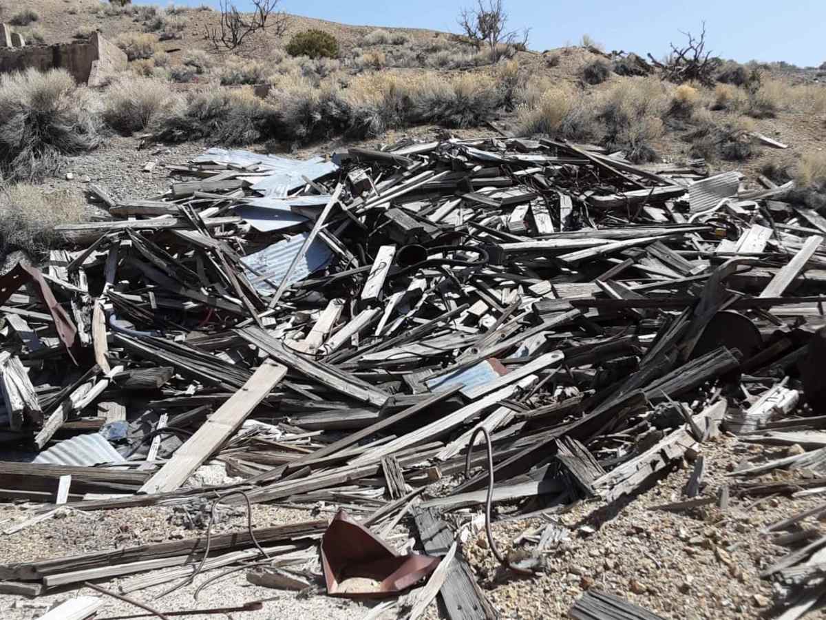
Silver-lead ore was first discovered and shipped from this district as early as 1879, but significant development began in 1919 when P.A. "Pop" Simon organized the Simon Silver-Lead Mines Company. A local post office was established in November 1919, followed by the construction of a 100-ton flotation mill in 1921, which was later expanded to 250 tons in 1923. At its peak, the mine featured approximately 25,000 feet of underground workings. Operations scaled back in the 1930s, and a major power failure in 1931 caused the pumps to fail, permanently flooding the lower levels. The post office closed in 1938, and the historic mill building was unfortunately destroyed by arson in the 1990s.