Trail Overview
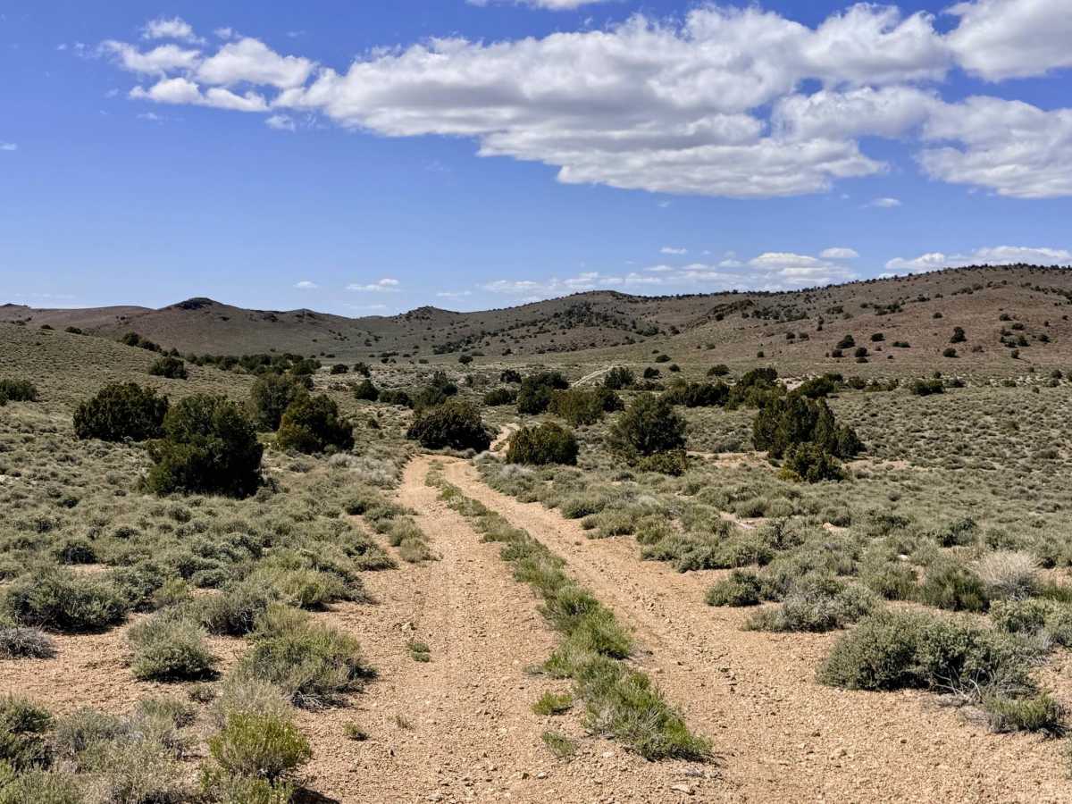
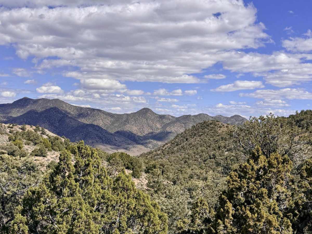
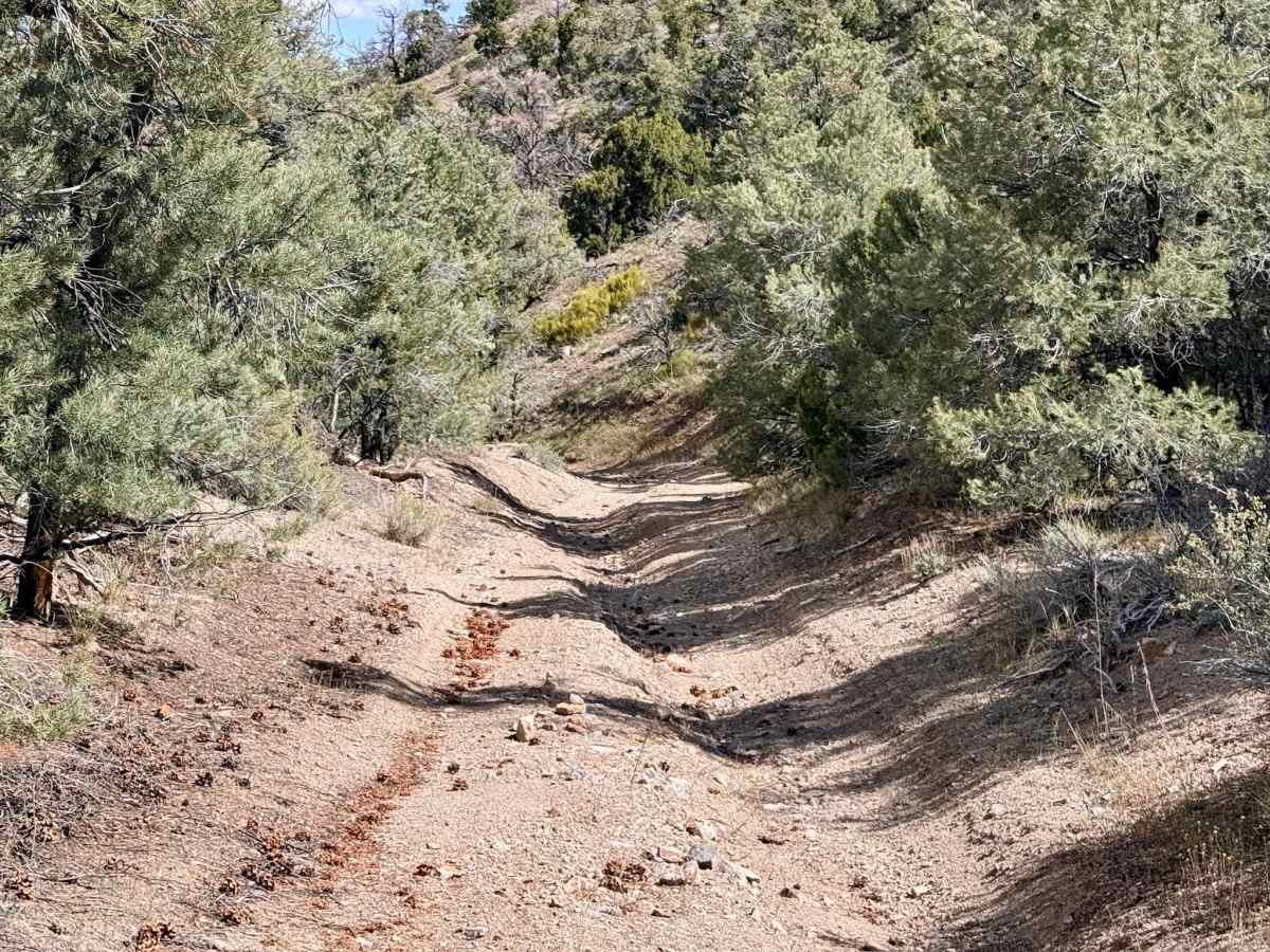
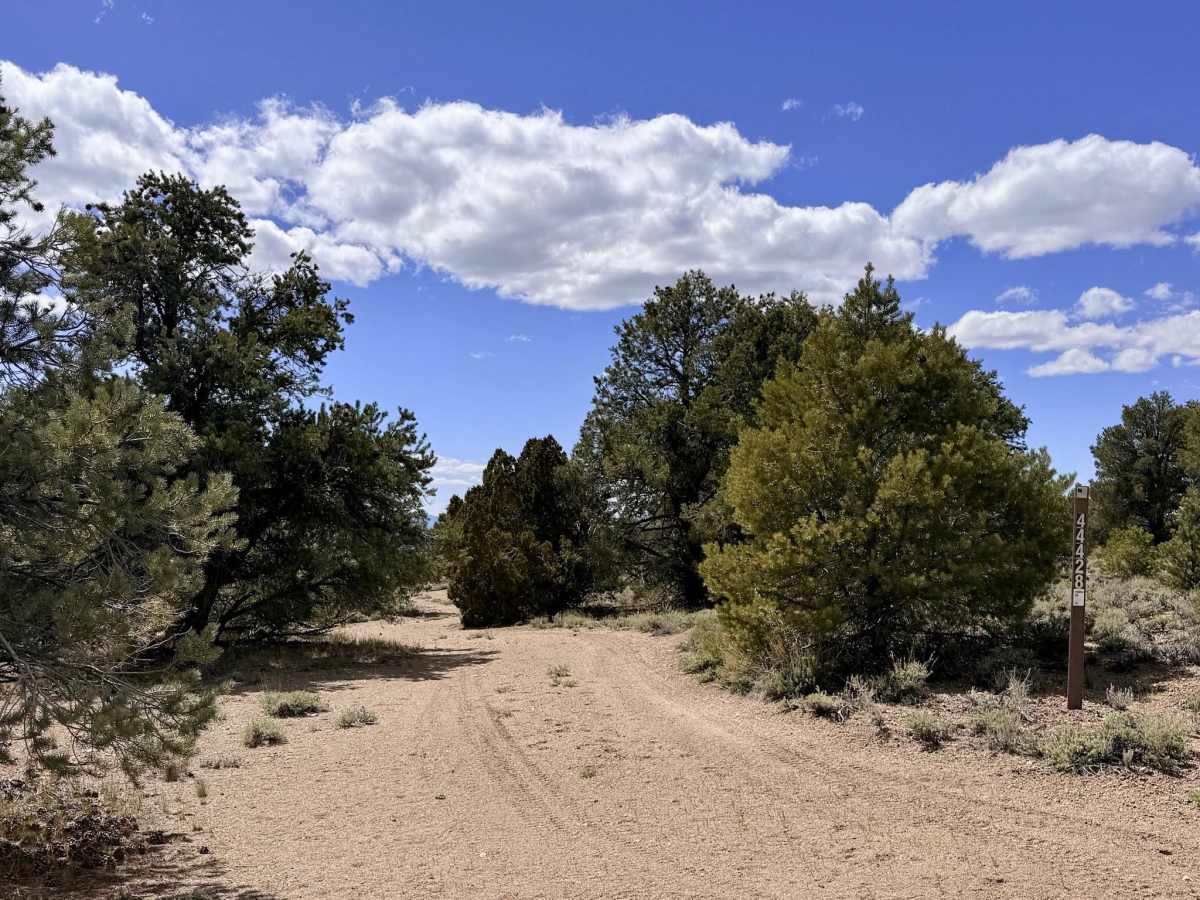
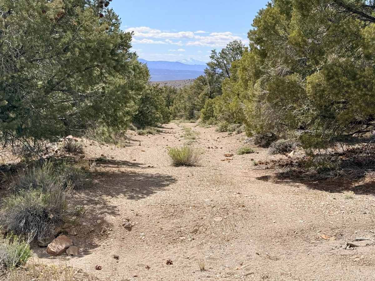
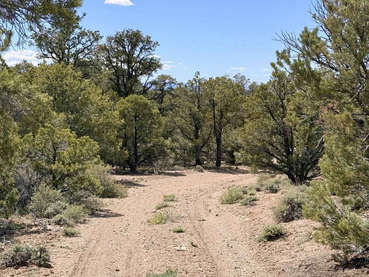
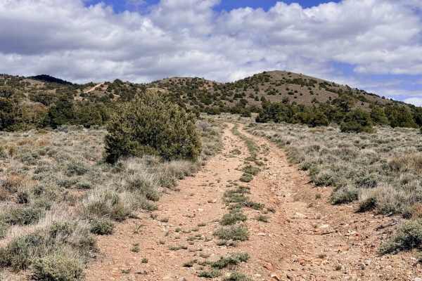
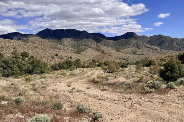
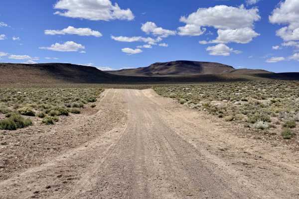
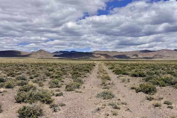
The Four Mile Spring Bypass is a rewarding, technical mountain route that traverses the rugged spine of the Toiyabe Range, cresting at the impressive Golden Summit at an elevation above 7,000 feet. This trail offers a premier high-altitude experience, winding through a picturesque forest of Pinyon Pine and Utah Juniper. The landscape is a living map of Nevada’s prospecting fever; as you navigate the trail, you will pass countless exploratory "prospect pits" and tailings piles, remnants of a time when every inch of this range was scrutinized for mineral wealth. The driving is physically engaging and varied. Considerable sections of the route follow the natural path of old creek beds, leading to significant erosion. Drivers should be prepared for deep ruts that require careful tire placement and sustained off-camber segments that will test your vehicle's stability. Additionally, the trail features several sandy wash crossings where maintaining steady momentum is key to avoiding a hang-up. This is an excellent area for those who enjoy "exploratory" off-roading, with numerous offshoot trails inviting you to search for the perfect secluded campsite or investigate the historic mining relics tucked into the timber. Expect zero cell service for the duration of this trail. The high peaks and Golden Summit create a total signal shadow. Download offline maps before leaving the Tonopah area.
Difficulty
Rated a 3 due to the combination of deep ruts, off-camber tilts, and soft sandy wash sections. High ground clearance is essential to avoid high-centering on the center berms of the creek bed sections. Several segments are quite narrow. Paint damage (Arizona pinstriping) is likely.
History
The name "Golden Summit" is a poignant reminder of the optimism that defined Nevada's early 19th-century mining booms. Following the massive strikes in Tonopah and Goldfield, prospectors pushed into these high ridges, convinced that the next "mother lode" lay just over the next crest. The sheer number of exploratory holes along this trail shows the incredible manual labor performed by miners who braved the thin air and isolation of 7,000 feet.