Trail Overview
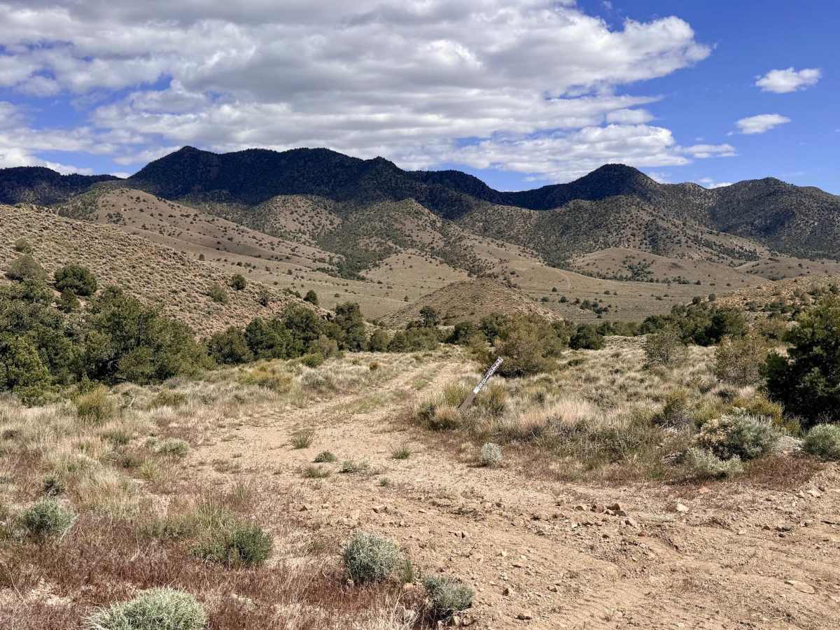
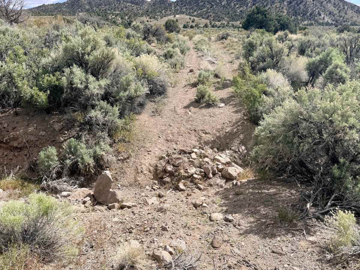
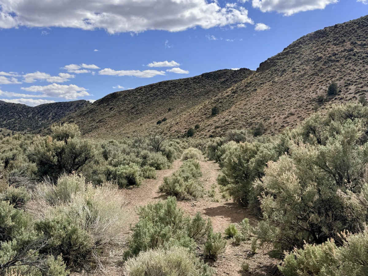
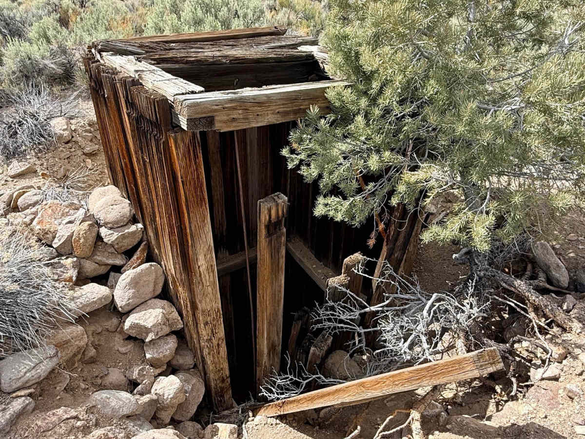
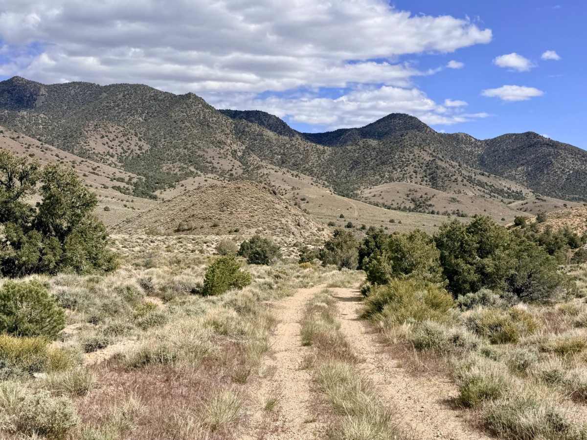
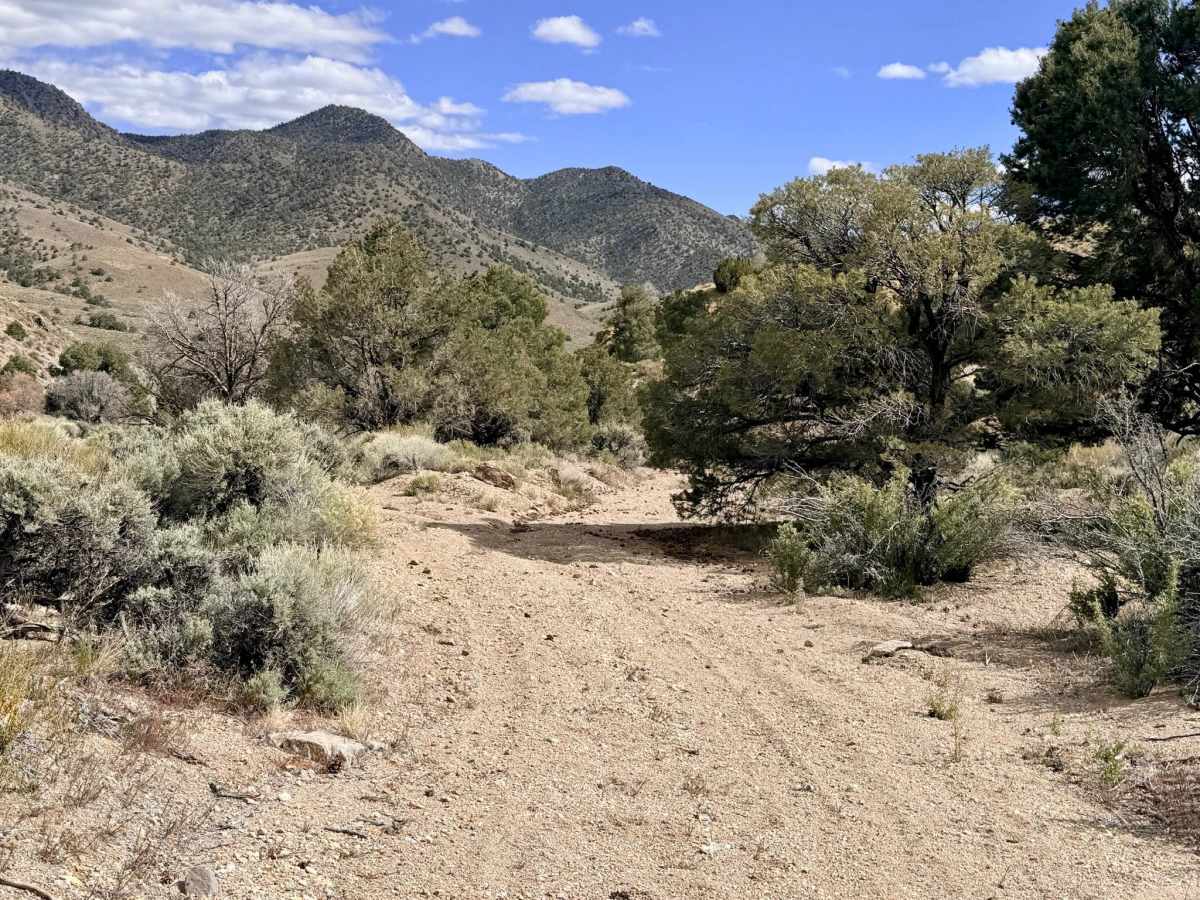
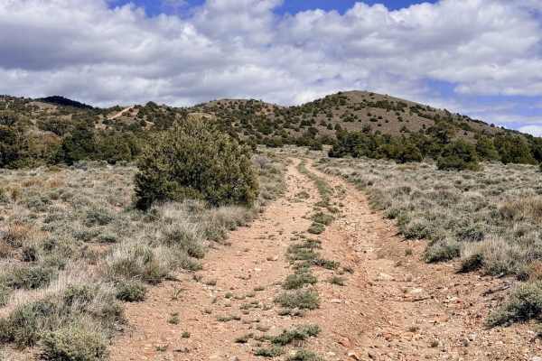
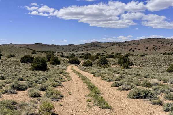
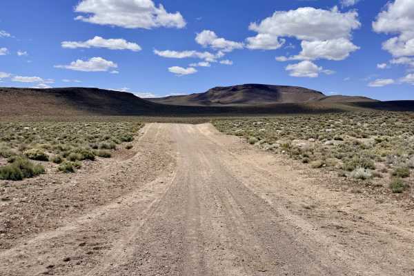
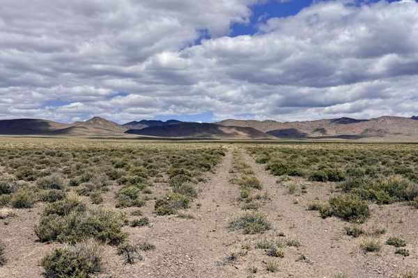
Four Mile Spring is a very lightly traveled and primitive trail that offers a true test of both vehicle capability and driver patience. The route feels largely forgotten by time, characterized by narrow "brush tunnels" and technical hurdles. The northern segment begins near a turn-off leading to several scenic dispersed campsites, then passes a deceptive-looking small shack; be extremely cautious here, as this structure is actually the portal to a deep, unsecured mine shaft. As you progress south, the trail becomes an exercise in "bushwhacking" with your vehicle. You will navigate through long sections of massive, well-established sagebrush that are guaranteed to cause paint damage. Furthermore, large woody bushes have begun growing through the center of the track; these can easily snag brake lines or sensitive undercarriage components, so proceed with extreme caution. The trail culminates in two major technical "gatekeepers" deep, eroded washouts that will test your vehicle’s approach, departure, and breakover angles. For those looking for a milder experience, the southern entrance provides a much easier offshoot that leads directly to the actual Four Mile Spring, a vital freshwater source for the area's livestock and wildlife.
Expect zero cell service for the duration of this trail. The surrounding hills block all incoming signals. Download offline maps before leaving the Tonopah area.
History
The name "Four Mile Spring" is a classic pioneer designation, likely referring to its distance from a major mining camp or stage station like Hannapah or Tonopah. In a landscape that receives almost no rain, a freshwater spring like this was more valuable than a silver claim. This trail likely served as a rugged connection for ranchers and prospectors who relied on the spring to keep their livestock and teams alive while they worked the surrounding hills.