
Dirt Bike Trails
Near Ivins, Utah
Explore All Dirt Bike Trails Near Ivins, Utah
Dirt Bike Trails Near Ivins, Utah
Discover the best dirt bike trails near you. Browse trail maps, check difficulty ratings, and find your next adventure — whether you're looking for a quick ride or an all-day expedition.
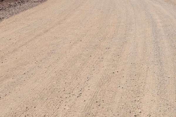
Gates Lane
Just Southwest of Santa Clara is a wide-open BLM playground for off-roading, mountain biking, shooting, hiking, and more. There is an endless spiderweb of trails and paths to take. At the end of this route is Cove Wash trailhead - great for mountain biking. Beautiful views overlooking Santa Clara an...
Learn more about Gates Lane
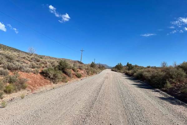
Motoqua - DI Ranch
This is a wide, maintained two-lane road for much of the route. It provides access to other adventures that are posted here on OnX. This portion of the adventure adds the infamous DI Ranch which was purchased when the mob reputedly ran many of the casinos in Las Vegas. The ranch was purchased about ...
Learn more about Motoqua - DI Ranch
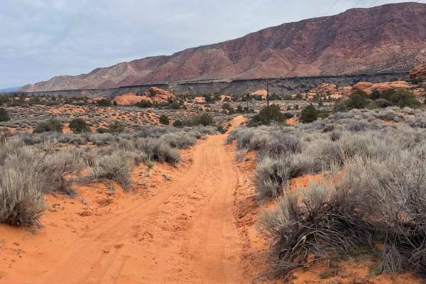
Pump House Pass
This is a moderately difficult trail that connects the main Gunlock road to the Motoqua road. Expect very sandy areas in some spots, as well as some technical rock obstacles and a very steep, loose rocky hill climb obstacle (the Gunlock Gauntlet). At the beginning of the trail, near Gunlock Road, yo...
Learn more about Pump House Pass
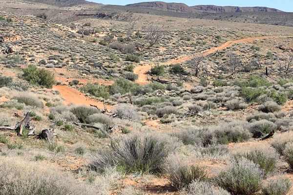
Gunlock Campground Access
This trail gives you access to the Gunlock Campground, which has some wonderful tent sites, as well as access to the backside of Gunlock Falls away from the crowds. We crossed the Santa Clara River in April, and it was pretty deep but manageable. Water came onto the hoods of our CanAms and Razors. F...
Learn more about Gunlock Campground Access
Turkey Road to Lone Pine
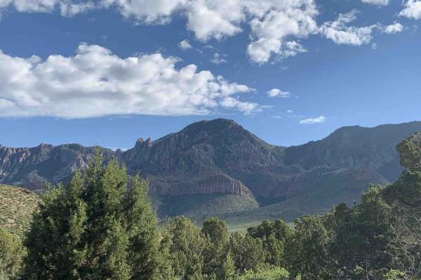
When in St. George Utah this is a nice scenic loop that completes the Diamond Valley, Lone Pine-Cottonwood Loop train marked on the map. This ride is on maintained County, BLM and ranch dirt roads. You will need to take oiled roads to get to the starting points of this loop, the loop does travel t...
Learn more about Turkey Road to Lone Pine
Cottonwood Road
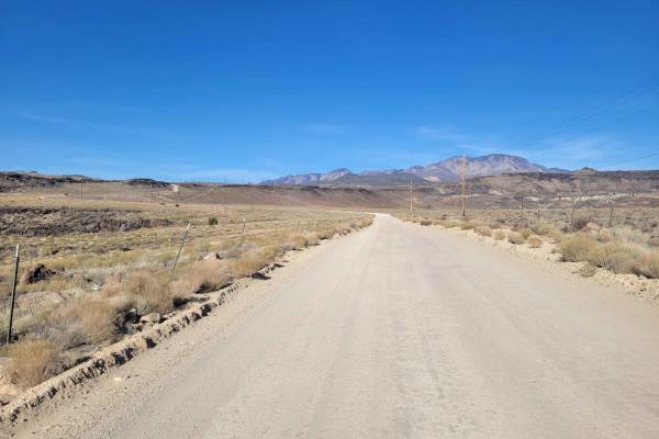
What begins as a paved road soon turns into an easy, maintained dirt road, wide enough for vehicles to pass. There are several (hike, bike, horse) trailheads along this route. Beautiful desert scenery in every direction. Even though it's on BLM land, it's also the Red Cliffs National Conservation Ar...
Learn more about Cottonwood Road
Gunlock Falls Backside
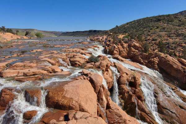
Looking for a way to get to the back of Gunlock Falls, away from the crowds who have access from Gunlock Road? This is it! It's a roughly 3-mile trail that goes down from Red Canyon 2.5 to the reservoir, then you skirt around the edge of the reservoir, over some slick rock formations and to the fa...
Learn more about Gunlock Falls Backside
Gorge-ous
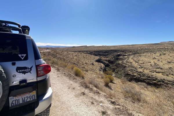
Start: 37.08802, -113.76598, on Bulldog Pass/Apex Rd., Mojave Desert Joshua Tree Rd. Etc etc. sheesh! But the drive is quite relaxing and scenic. This is a fun little trail that runs along a small gorge located in the Paiute Reservation. The Mojave Desert Joshua Tree Road Scenic Backway received off...
Learn more about Gorge-ous
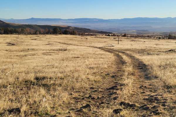
Cedar Bench Trail
This dirt trail starts off as a well-defined route but slowly turns into a meager two-track that ultimately fades away at a dead-end. Water erosion has rutted some spots. There are several sections with large, loose rocks to navigate. Scattered primitive camp spots were noted in the area. Please be ...
Learn more about Cedar Bench Trail
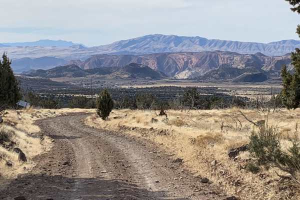
Diamond Valley-Lone Pine-Cottonwood Loop
This is a fun, easy trail with fantastic views of the surrounding area. On the Diamond Valley side you will have views of cinder cones, a dormant volcano with crater, hundreds of square miles to the west. Lone Pine Canyon has an oddity with a dead tall single pine with the backdrop of white mountain...
Learn more about Diamond Valley-Lone Pine-Cottonwood Loop
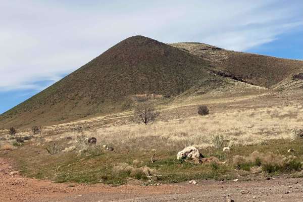
Veyo Volcano
Connector between trails on the east side of Veyo, and trails into the National Forest near Gunlock State Park. Easy road with some sites of interest including Veyo Volcano which is an intact cinder cone, Upper Sand Cove Dam;a decently trafficked rock climbing area, and borders on Red Mountain Wilde...
Learn more about Veyo Volcano
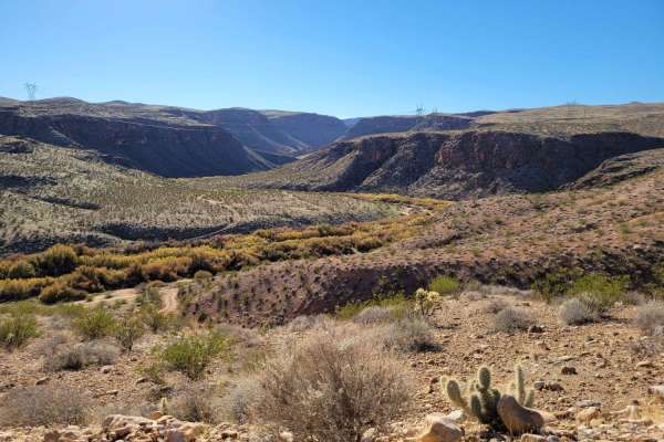
Virgin River Gorge Overlook 1
This beautiful, easy, out-and-back trail weaves its way through the Red Cliffs desert reserve. Scattered primitive camping and shooting areas at the beginning of the trail. Once you begin reaching the end (overlook), the trail will make its way down the hill towards the river bottom. Option to turn ...
Learn more about Virgin River Gorge Overlook 1
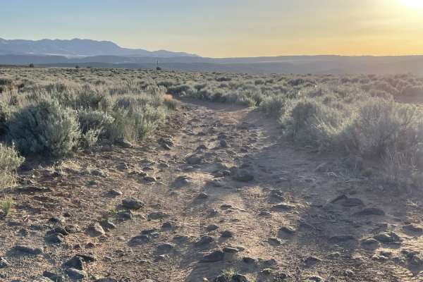
Lava Rock Lookout
This short out and back features a few dispersed camping spots that may not be allowed except in the little corner of BLM land. It appears to be private property, but no gate blocks access. It's best to check beforehand. There are fields of sagebrush. You'll notice all kinds of nice rock formations ...
Learn more about Lava Rock Lookout
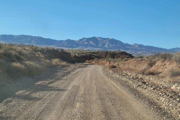
Hollow Washington Road
This is an easy dirt trail that takes you past Bloomington Caves (permit required) and ends up at Joshua Tree Road. Nothing challenging about this route. You will cross a wash or two and over several rocky patches. A couple of times, the trail weaves through a small ravine/dirt canyon. There are sev...
Learn more about Hollow Washington Road
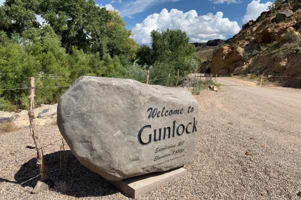
Lower Sand Cove Dam
This short trail gradually climbs above the town of Gunlock through a series of switchbacks until you reach a plateau with sweeping views in all directions. Beautiful rock formations come into view as you proceed North West towards the dam. The mostly gravel two-track trail is nicely graded with onl...
Learn more about Lower Sand Cove Dam
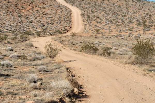
Val Wash
This small offshoot trail leads to some really great views overlooking the Virgin River and the surrounding desert landscape. You will encounter a couple of very short steep hills. There is a turnaround spot where this particular track ends, but the trail does continue down the hill and towards the ...
Learn more about Val Wash
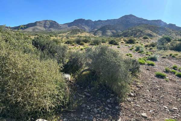
Hells Hole Pass Road
Hell Hole Pass Road is accessed along Highway 91. The road is well-maintained on the South side of the Beaver Dam Mountains. After crossing over the top and starting to descend on the North Side. The road is not maintained as well. In the early Spring, there are several locations where water runs do...
Learn more about Hells Hole Pass Road
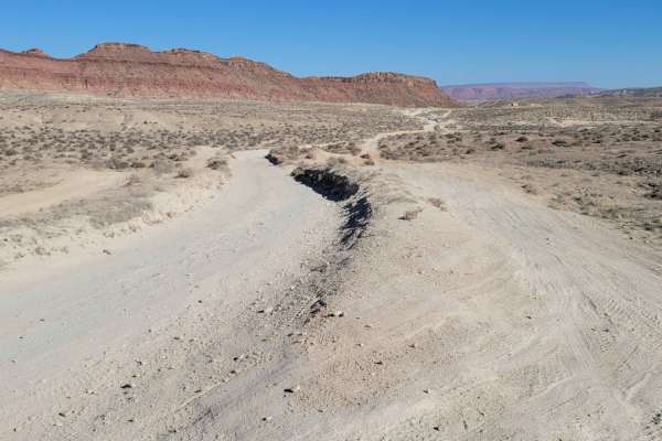
Navajo Drive
This route starts as pavement but quickly turns to a dirt road. There is a staging area/parking lot at the beginning. On the Northside is a popular biking trail. Surrounding this road is an endless spiderweb of routes and trails. It's an endless biking and OHV playground, but please be sure to stay ...
Learn more about Navajo Drive
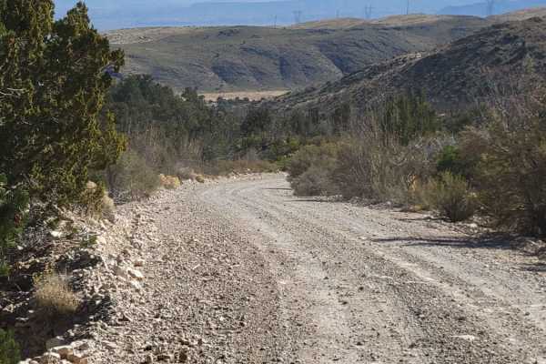
Apex Mine Road
This short, easy dirt road weaves its way up into a small pocket of the Beaver Dam Mountains. The trail ultimately dead-ends at a turnaround spot. Mine tailings can be spotted up on the nearby mountainsides, although they are on private property. The trail is unmaintained in wet or winter conditions...
Learn more about Apex Mine Road
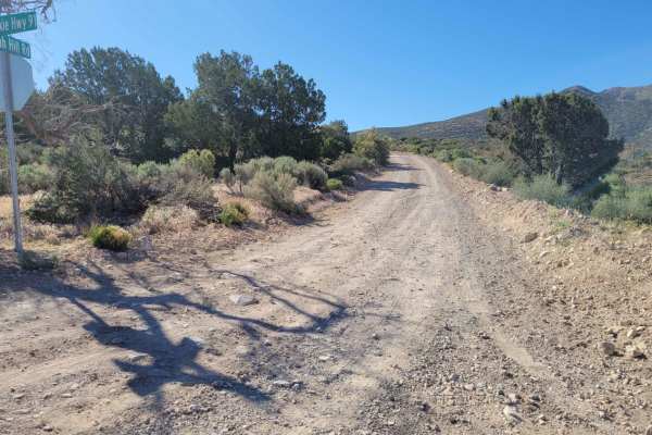
Utah Hill Road
This short, 4-mile, out-and-back trail takes you up into the mountains and fairly close to Tahoari Peak. It starts off easy but quickly turns fairly rocky. The further up you go, the more advanced the trail becomes, with a couple of off-camber and large rock sections where higher clearance is requir...
Learn more about Utah Hill Road
ATV trails near Ivins, Utah
Explore ATV-friendly trails near you. These trails are accessible for vehicles up to 50 inches wide, perfect for ATVs and smaller off-road machines.
Gates Lane
Just Southwest of Santa Clara is a wide-open BLM playground for off-roading, mountain biking, shooting, hiking, and more. There is an endless spiderweb of trails and paths to take. At the end of this route is Cove Wash trailhead - great for mountain biking. Beautiful views overlooking Santa Clara an...
Learn more about Gates Lane
Motoqua - DI Ranch
This is a wide, maintained two-lane road for much of the route. It provides access to other adventures that are posted here on OnX. This portion of the adventure adds the infamous DI Ranch which was purchased when the mob reputedly ran many of the casinos in Las Vegas. The ranch was purchased about ...
Learn more about Motoqua - DI Ranch
Pump House Pass
This is a moderately difficult trail that connects the main Gunlock road to the Motoqua road. Expect very sandy areas in some spots, as well as some technical rock obstacles and a very steep, loose rocky hill climb obstacle (the Gunlock Gauntlet). At the beginning of the trail, near Gunlock Road, yo...
Learn more about Pump House Pass
Gunlock Campground Access
This trail gives you access to the Gunlock Campground, which has some wonderful tent sites, as well as access to the backside of Gunlock Falls away from the crowds. We crossed the Santa Clara River in April, and it was pretty deep but manageable. Water came onto the hoods of our CanAms and Razors. F...
Learn more about Gunlock Campground Access
UTV/side-by-side trails near Ivins, Utah
Find UTV and side-by-side trails near you. These trails accommodate vehicles up to 60 inches wide, ideal for UTVs, side-by-sides, and wider off-road rigs.
Gates Lane
Just Southwest of Santa Clara is a wide-open BLM playground for off-roading, mountain biking, shooting, hiking, and more. There is an endless spiderweb of trails and paths to take. At the end of this route is Cove Wash trailhead - great for mountain biking. Beautiful views overlooking Santa Clara an...
Learn more about Gates Lane
Motoqua - DI Ranch
This is a wide, maintained two-lane road for much of the route. It provides access to other adventures that are posted here on OnX. This portion of the adventure adds the infamous DI Ranch which was purchased when the mob reputedly ran many of the casinos in Las Vegas. The ranch was purchased about ...
Learn more about Motoqua - DI Ranch
Pump House Pass
This is a moderately difficult trail that connects the main Gunlock road to the Motoqua road. Expect very sandy areas in some spots, as well as some technical rock obstacles and a very steep, loose rocky hill climb obstacle (the Gunlock Gauntlet). At the beginning of the trail, near Gunlock Road, yo...
Learn more about Pump House Pass
Gunlock Campground Access
This trail gives you access to the Gunlock Campground, which has some wonderful tent sites, as well as access to the backside of Gunlock Falls away from the crowds. We crossed the Santa Clara River in April, and it was pretty deep but manageable. Water came onto the hoods of our CanAms and Razors. F...
Learn more about Gunlock Campground Access
The onX Offroad Difference
onX Offroad combines trail photos, descriptions, difficulty ratings, width restrictions, seasonality, and more in a user-friendly interface. Available on all devices, with offline access and full compatibility with CarPlay and Android Auto. Discover what you're missing today!
Open Trail Map